Advertisement
If you have a new account but are having problems posting or verifying your account, please email us on hello@boards.ie for help. Thanks :)
Hello all! Please ensure that you are posting a new thread or question in the appropriate forum. The Feedback forum is overwhelmed with questions that are having to be moved elsewhere. If you need help to verify your account contact hello@boards.ie

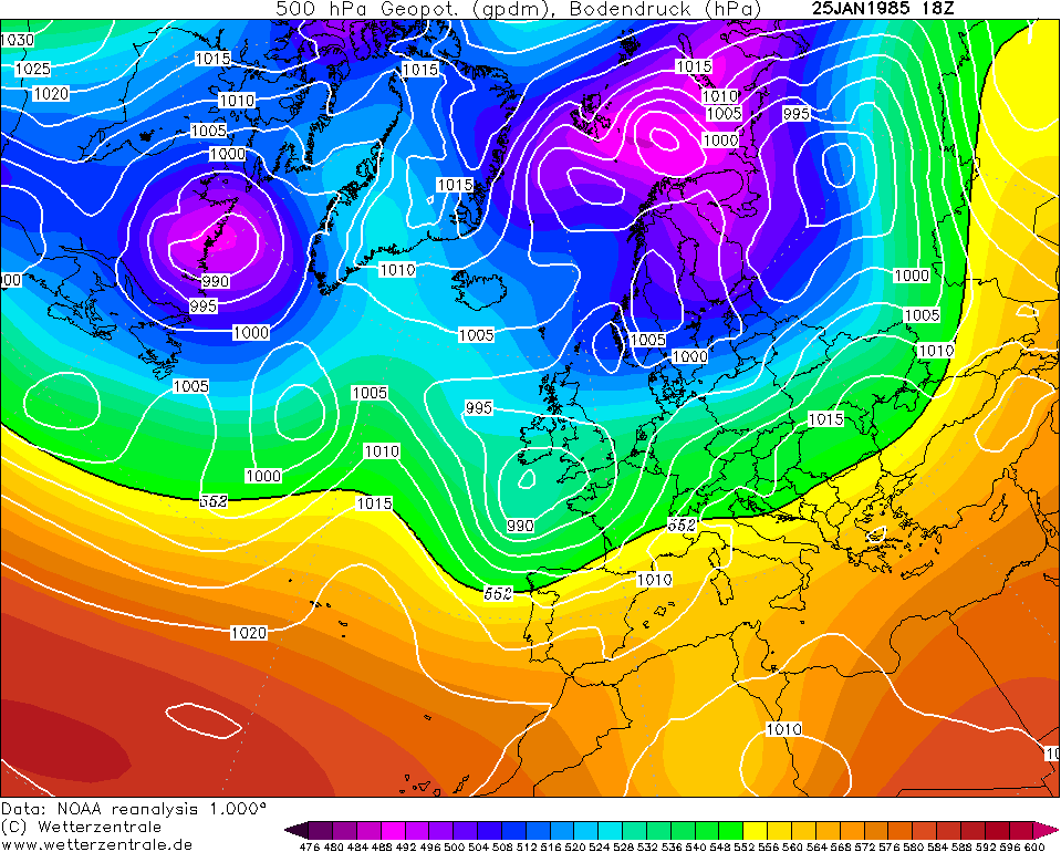
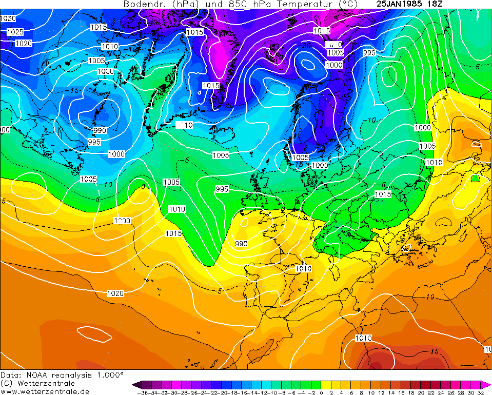
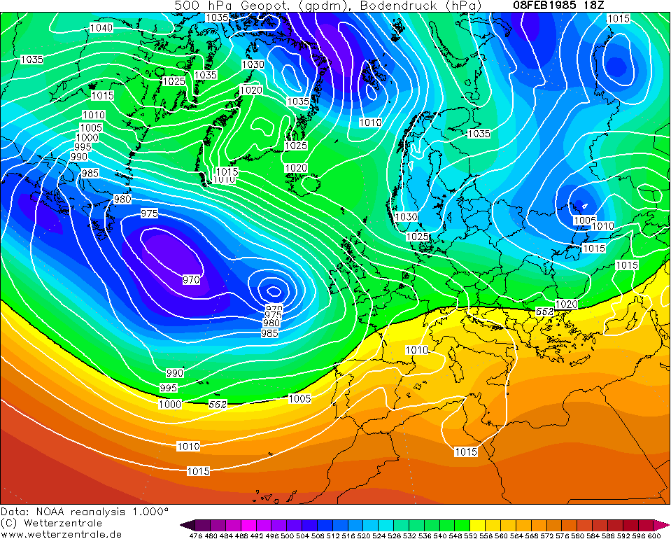
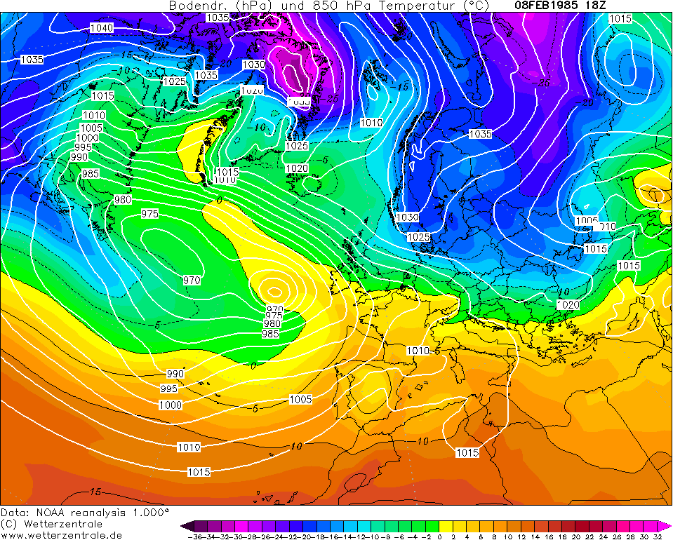
Cold Spell - Snow & Ice Possible Thursday 8th / Friday 9th

Options
13468958

Comments

  • Closed Accounts Posts: 2,043 ✭✭✭George Sunsnow


    It could be either
    The front came in overnight on a Friday into Saturday
    ‘Twas epic though like a lot of the 1980’s cold spells
    The UCD lake was frozen with a few inches of snow lying on it

    Edit I’m referring to 1985 in this post
    I am not sure what date the jan 2010 front was but I’d say the 12th
    It was a Sunday


  • Registered Users Posts: 932 ✭✭✭snowstorm445


    Good to see this snow event lined up, just a shame how light the precipitation looks to be. Should give most a covering but really a true frontal event is much more intense than what’s being lined up. It could still change though.


  • Registered Users Posts: 13,530 ✭✭✭✭sryanbruen


    It could be either
    The front came in overnight on a Friday into Saturday
    ‘Twas epic though like a lot of the 1980’s cold spells
    The UCD lake was frozen with a few inches of snow lying on it

    Edit I’m referring to 1985 in this post
    I am not sure what date the jan 2010 front was but I’d say the 12th
    It was a Sunday

    Here's two possible ones from 1985 going by your description.

    25th/26th January

    NOAA_1_1985012518_1.png

    NOAA_1_1985012518_2.png

    8th/9th February

    NOAA_1_1985020818_1.png

    NOAA_1_1985020818_2.png

    The 12th January 2010 was a Tuesday. I thought you'd be referring to that one because the rain was very heavy in the southwest trying to bring up milder air - which it did eventually - Valentia Observatory had its wettest January day on record. The heavy rain turned to snow as it pushed northwards and eastwards before turning into rain on the 13th in parts. If it was a Sunday then it might have been the 10th January but I don't recall seeing a warm front then. I do remember me here having some rain on the 11th January.


  • Registered Users Posts: 23,564 ✭✭✭✭Kermit.de.frog


    18z ICON going for approx 6 - 7 hours of light - moderate snowfall in the Dublin area from start to finish on Monday night. The 2 - 5 cm forecast seems pretty accurate at the moment.


  • Registered Users Posts: 8,219 ✭✭✭Gaoth Laidir


    It's nice to see the Arpege showing a sub-zero saturated layer imby in Celbridge overnight Monday/Tuesday. Fully saturated to around 650 hPa means decent precipitation rate. It's giving a surface temp/dp of 0 and -1 °C so all set for it to be fully snow. None of this oul water rain/sleet/snow mix.

    440593.png

    It is only brief, though. Surface layer warms considerably during Tuesday.


  • Advertisement
  • Registered Users Posts: 7,139 ✭✭✭pad199207


    There was a warm front in January 2010 that surely brought you snow before turning to rain just as it exited,it did here

    I remember waking up to proper frontal snow in goatstown just up the toad from clonskeagh in either jan or February 1985
    Quite a dumping
    It was after probably a week of easterly or northeasterly snow shower trains in the Dublin area too
    It shouldn’t be hard to find if Syran wants to search for it in the archives


    Yes I remember that one but that melted everything after it turned to rain. When I mean everything I mean 5 inches of snow on the ground


  • Registered Users Posts: 23,564 ✭✭✭✭Kermit.de.frog


    It's nice to see the Arpege showing a sub-zero saturated layer imby in Celbridge overnight Monday/Tuesday. Fully saturated to around 650 hPa means decent precipitation rate. It's giving a surface temp/dp of 0 and -1 °C so all set for it to be fully snow. None of this oul water rain/sleet/snow mix.

    440593.png

    It is only brief, though. Surface layer warms considerably during Tuesday.

    I'm confident enough but at the same time it may only take half a degree and things go asunder.

    Overall looks good for Monday night but one or two cautionary signs as well. Not done and dusted yet.


  • Registered Users Posts: 7,139 ✭✭✭pad199207


    I can officially start the madness now, some Graupel falling here in Wexford now!

    Fairly windy too!

    I come down here for the sunshine, not for the wintry weather!


  • Registered Users Posts: 579 ✭✭✭Soccarboy11


    pad199207 wrote: »
    I can officially start the madness now, some Graupel falling here in Wexford now!

    had a couple graupel showers here in Cork during the day around 1PM today! Was very strange. Bitterly cold out now though!


  • Registered Users Posts: 1,985 ✭✭✭BLIZZARD7


    Last few runs this evening have thursdays front a few hundred miles further west - if this trend continues we might be in the firing line for round 2, at present this shows as mostly rain though.

    Exciting week coming up for sure, lots still to be decided.


  • Advertisement
  • Registered Users Posts: 280 ✭✭Rodar08


    BLIZZARD7 wrote: »
    Last few runs this evening have thursdays front a few hundred miles further west - if this trend continues we might be in the firing line for round 2, at present this shows as mostly rain though.

    Exciting week coming up for sure, lots still to be decided.

    Sorry blizzard for being annoying but can I ask what you mean by this .. I’m assuming you mean the rain that’s showing up now will turn to snow when you’re talking about an exciting time ahead yeah? And what do you mean by round 2? Monday/tue night bring round 1?
    And lastly.. the dreaded location question if anyone can tell me.. I’m in north Donegal and I’m confused about wether we’re in line for this or not .. some charts it looks like we’re missed then some look there’s plenty coming. I’m in Buncrana. It can sometimes feel like snow hates it here while all around us is a winter wonderland. Thanks ;)

    I’ve been reading this forum for years and I’m still lost in lots of terms and lingo lol I need to do some homework :/


  • Registered Users Posts: 1,985 ✭✭✭BLIZZARD7


    Rodar08 wrote: »
    Sorry blizzard for being annoying but can I ask what you mean by this .. I’m assuming you mean the rain that’s showing up now will turn to snow when you’re talking about an exciting time ahead yeah? And what do you mean by round 2? Monday/tue night bring round 1?
    And lastly.. the dreaded location question if anyone can tell me.. I’m in north Donegal and I’m confused about wether we’re in line for this or not .. some charts it looks like we’re missed then some look there’s plenty coming. I’m in Buncrana. It can sometimes feel like snow hates it here while all around us is a winter wonderland. Thanks ;)

    I’ve been reading this forum for years and I’m still lost in lots of terms and lingo lol I need to do some homework :/

    I mean exciting in that it will be the coldest week and best chance of widespread snow we have had so far this winter and indeed in a good few winters. :cool:

    I wouldn't be too excited about Monday nights prospects in buncrana, that might be wet or messy more than straight snowy - any decent elevation will get snow though. Later Tuesday and Tuesday night looks much better for the North West though and I would think you may see a decent fall then.

    Yeah my post was slightly East/Midlands centric calling Monday night round 1 - of course Tuesday night will be more interesting than this for those in the north west.

    Thursday is similar in that we have another front coming in from the Atlantic hitting the entrenched cold air in place over Ireland, at present this looks like falling as mainly rain with some front edge snow in the east maybe - with a few small changes this could end up being a repeat of Monday night. I.e round 2. Anyway we won't really be sure on what happens with regard to this for a few days still so isn't worth analyzing properly yet.

    2-5cm still looks a good shout for much of the Midlands/East + some southern counties for Monday night into Tuesday.

    I suspect this won't be the last of these threads this winter either given the big warming forecast for the stratosphere over the pole...


  • Registered Users Posts: 1,462 ✭✭✭vickers209


    It's nice to see the Arpege showing a sub-zero saturated layer imby in Celbridge overnight Monday/Tuesday. Fully saturated to around 650 hPa means decent precipitation rate. It's giving a surface temp/dp of 0 and -1 °C so all set for it to be fully snow.

    It is only brief, though. Surface layer warms considerably during Tuesday.

    when su is on board its gonna snow


  • Registered Users Posts: 23,564 ✭✭✭✭Kermit.de.frog


    18z Euro4 for 6 pm Monday evening. 850 hpa temps as front is crossing the country and running in to the very cold temperatures in the eastern half of the country. These temperatures further west dropping all the time as the front occludes.

    18020518_2_0318.gif

    Progged dew points

    18020518_2_0318.gif


  • Registered Users Posts: 2,675 ✭✭✭Rougies


    vickers209 wrote: »
    when su is on board its gonna snow

    It is always nice to get past the gatekeeper.

    qNUrXui.jpg


  • Registered Users Posts: 23,564 ✭✭✭✭Kermit.de.frog


    Hirlam 00z

    hirlamuk-1-48-0.png?04-05

    ICON 00z

    iconeu_uk1-1-49-0.png?04-04


  • Registered Users Posts: 23,564 ✭✭✭✭Kermit.de.frog


    WRF 00z

    tempresult_ddj5.gif


  • Registered Users Posts: 23,564 ✭✭✭✭Kermit.de.frog


    ECM 00z 850 temps already occluded to sub -5 as the front approaches the east coast and falling rapidly.

    ECMOPEU00_48_2.png


    Meanwhile Hirlam projecting snow (that is the minimum requirements are met) as far back as County Galway and Donegal...


    hirlamuk-1-45-0.png?04-05


  • Registered Users Posts: 14,375 ✭✭✭✭M.T. Cranium


    I am thinking 5-8 cms quite possible in many parts of the country, inland from the milder west coast. This front is bringing enough moisture to produce that much, and very little warm advection is indicated. Thursday also looks promising.


  • Registered Users Posts: 23,564 ✭✭✭✭Kermit.de.frog


    I am thinking 5-8 cms quite possible in many parts of the country, inland from the milder west coast. This front is bringing enough moisture to produce that much, and very little warm advection is indicated. Thursday also looks promising.

    The far west and northwest, in to the southwest likely to see snow through Tuesday and Tuesday night also in the form of prolonged showers. Could be some heavy snowfall in these areas at times and reasonable accumulations.

    Tuesday night looks exceptionally cold for the rest of the country as well...

    Thursday i'm on the wrong side of the fence a little right now regarding potential snow.


  • Advertisement
  • Registered Users Posts: 2,909 ✭✭✭JanuarySnowstor


    Interesting times. I wonder will Met Eirean put out a warning tonight


  • Registered Users Posts: 1,350 ✭✭✭esposito


    Interesting times. I wonder will Met Eirean put out a warning tonight

    I’d say so. They love their warnings no matter how little snow is forecast.

    Yellow warning right?


  • Closed Accounts Posts: 6,751 ✭✭✭mirrorwall14


    I can honestly say this is the first time I’m dreading snow. We’ve an inspection in school so I want to be in early Tuesday and it looks like the commute in north Kildare with be absolutely pants. Why can’t this front be 48hrs later so I could enjoy it? 😡


  • Registered Users Posts: 12,778 ✭✭✭✭ninebeanrows


    EC very steady with this progging 2-3cm deposits widely across Ulster, Leinster and east Munster, locally upto 6/7cm on higher ground.


  • Registered Users Posts: 23,564 ✭✭✭✭Kermit.de.frog


    Looks very likely Ireland will get a fair bit more snow this week than England - currently most there would see nothing...that's the way the cookie crumbles sometimes.

    Could change yet. Very cold in the UK though, same as here.


  • Registered Users Posts: 6,160 ✭✭✭munsterlegend


    Interesting times. I wonder will Met Eirean put out a warning tonight

    It doesn't look too good for our neck of the woods but great for parts of Leinster and Ulster.


  • Registered Users Posts: 1,003 ✭✭✭Lucreto


    What timeframe do we expect it to hit the east coast if it comes off as predicted? Rush hour monday evening or during Monday night/ Tuesday morning.


  • Closed Accounts Posts: 2,043 ✭✭✭George Sunsnow


    Looks very likely Ireland will get a fair bit more snow this week than England - currently most there would see nothing...that's the way the cookie crumbles sometimes.

    Could change yet. Very cold in the UK though, same as here.

    Met Éireann at 755 am on radio one
    Rain and sleet spreading from the west tomorrow night
    Some snow in the midlands and north with small depositions (the word deposition was used)
    (The east wasn’t mentioned at all)
    Rain later in the week


  • Registered Users Posts: 23,866 ✭✭✭✭Larbre34


    Met Éireann at 755 am on radio one
    Rain and sleet spreading from the west tomorrow night
    Some snow in the midlands and north with small depositions (the word deposition was used)
    (The east wasn’t mentioned at all)
    Rain later in the week

    In line with their current web forecast. Are we able to explain the discrepancy with the numbers being mentioned here?


  • Advertisement
  • Registered Users Posts: 280 ✭✭Rodar08


    BLIZZARD7 wrote: »
    I mean exciting in that it will be the coldest week and best chance of widespread snow we have had so far this winter and indeed in a good few winters. :cool:

    I wouldn't be too excited about Monday nights prospects in buncrana, that might be wet or messy more than straight snowy - any decent elevation will get snow though. Later Tuesday and Tuesday night looks much better for the North West though and I would think you may see a decent fall then.

    Yeah my post was slightly East/Midlands centric calling Monday night round 1 - of course Tuesday night will be more interesting than this for those in the north west.

    Thursday is similar in that we have another front coming in from the Atlantic hitting the entrenched cold air in place over Ireland, at present this looks like falling as mainly rain with some front edge snow in the east maybe - with a few small changes this could end up being a repeat of Monday night. I.e round 2. Anyway we won't really be sure on what happens with regard to this for a few days still so isn't worth analyzing properly yet.

    2-5cm still looks a good shout for much of the Midlands/East + some southern counties for Monday night into Tuesday.

    I suspect this won't be the last of these threads this winter either given the big warming forecast for the stratosphere over the pole...

    Thank you Blizzard ;)


Advertisement