Advertisement
Help Keep Boards Alive. Support us by going ad free today. See here: https://subscriptions.boards.ie/.
https://www.boards.ie/group/1878-subscribers-forum

Private Group for paid up members of Boards.ie. Join the club.
Hi all, please see this major site announcement: https://www.boards.ie/discussion/2058427594/boards-ie-2026

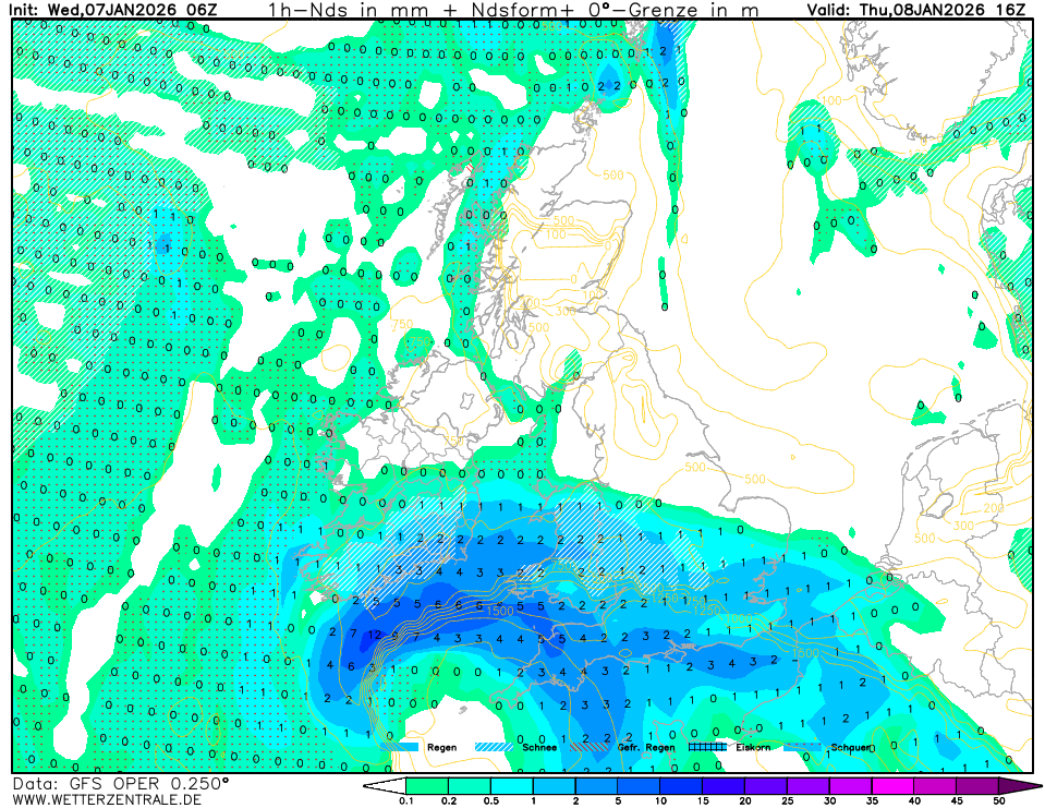
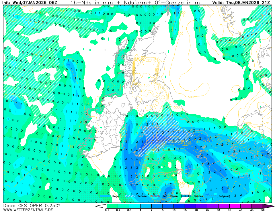
Storm Goretti - Thursday 08 01 2026 - named by French forecaster Meteo France

  • 07-01-2026 11:44AM
    #1
    Registered Users, Registered Users 2 Posts: 2,354 ✭✭✭


    First OFFICIAL named storm of 2026 ..

    Met Éireann has issued a status yellow snow and rain warning for Cork, Kerry, Waterford, and Wexford as the effects of Storm Goretti hit Ireland.

    The warning will see rain, which will be heavy at times, turn to sleet and snow in places on Thursday afternoon, particularly at elevation.

    The alert will come into effect at midday on Thursday and remain in place until 8pm.

    The potential impacts include hazardous travelling conditions, spot flooding, poor visibility, and icy patches.

    https://www.irishexaminer.com/news/munster/arid-41771249.html

    Met eireann also updated there site for tomorrow as per Alan Carlow Weather:

    Looks like, where snow is concerned we wont see much of the white stuff, maybe on high elevations. But I am sure it will still be cold and sleety here in Cork .. Kerry, waterford, wexford

    ALAN @carlowweather also tweeted:

    "Early Friday morning forecast temps show frost and icy patches likely for some areas. This will be after the rain,sleet and snow falls in Southern half of country. Latest trends do bring it little further North too. Could bring tricky driving conditions."

    Post edited by WolfeEire on


Comments

  • Registered Users, Registered Users 2 Posts: 364 ✭✭ClimateObserver


    The GFS is predicting falling snow (not guaranteed to settle) across a decent swathe of the south:

    image.png

    The east coast is notably outside the snowfall area on this run.

    image.png

    However, as the system moves east over England, more of the east coast comes in to play, but alas, it's back-end snow. But at 9pm with a few hours of nocturnal cooling at that stage, it might happen sooner?


  • Registered Users, Registered Users 2, Paid Member Posts: 1,729 ✭✭✭esposito


    At this stage I’d take back edge snow in the east for an hour or two, it’s been that bad for snow here in the last few years!


  • Moderators, Science, Health & Environment Moderators Posts: 1,916 Mod ✭✭✭✭WolfeEire
    Clare (430ft asl)


    I am closing this thread as the primary impacts of the storm are being felt across southern England, the Channel Islands, and northern France. In addition, this system is not a named storm under the current KNMI, UKMO, or Met Éireann naming system. Instead, it was named by Meteo-France.
    Discussion regarding the snow risk for tomorrow is already well covered in the Up to 120hrs Thread.


This discussion has been closed.
Advertisement
Advertisement