Advertisement
If you have a new account but are having problems posting or verifying your account, please email us on hello@boards.ie for help. Thanks :)
Hello all! Please ensure that you are posting a new thread or question in the appropriate forum. The Feedback forum is overwhelmed with questions that are having to be moved elsewhere. If you need help to verify your account contact hello@boards.ie
Hi there,
There is an issue with role permissions that is being worked on at the moment.
If you are having trouble with access or permissions on regional forums please post here to get access: https://www.boards.ie/discussion/2058365403/you-do-not-have-permission-for-that#latest

Leenane Walking Festival

  • 03-05-2010 6:26pm
    #1
    Closed Accounts Posts: 10,271 ✭✭✭✭


    Hello all,

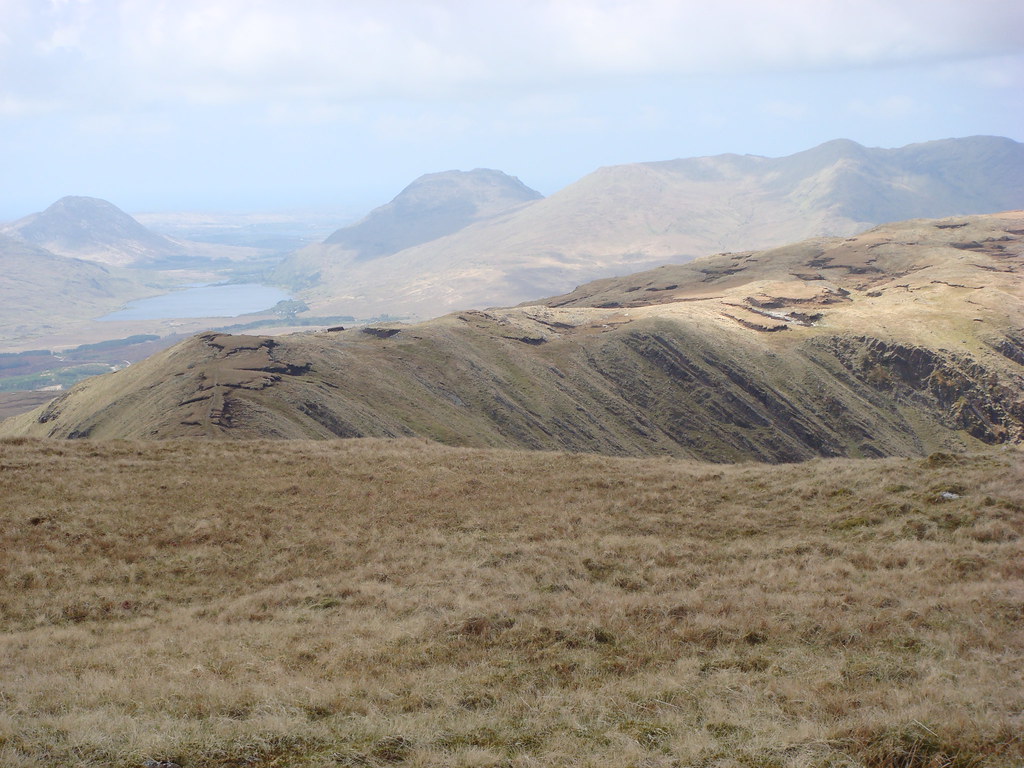
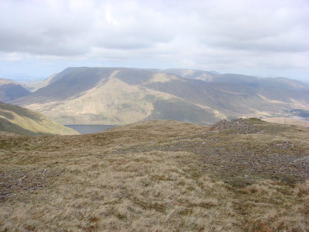
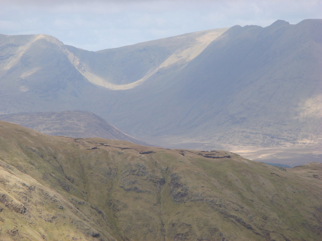
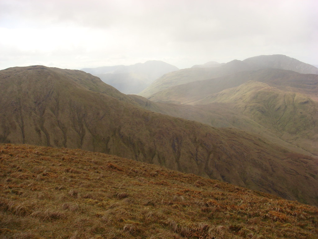
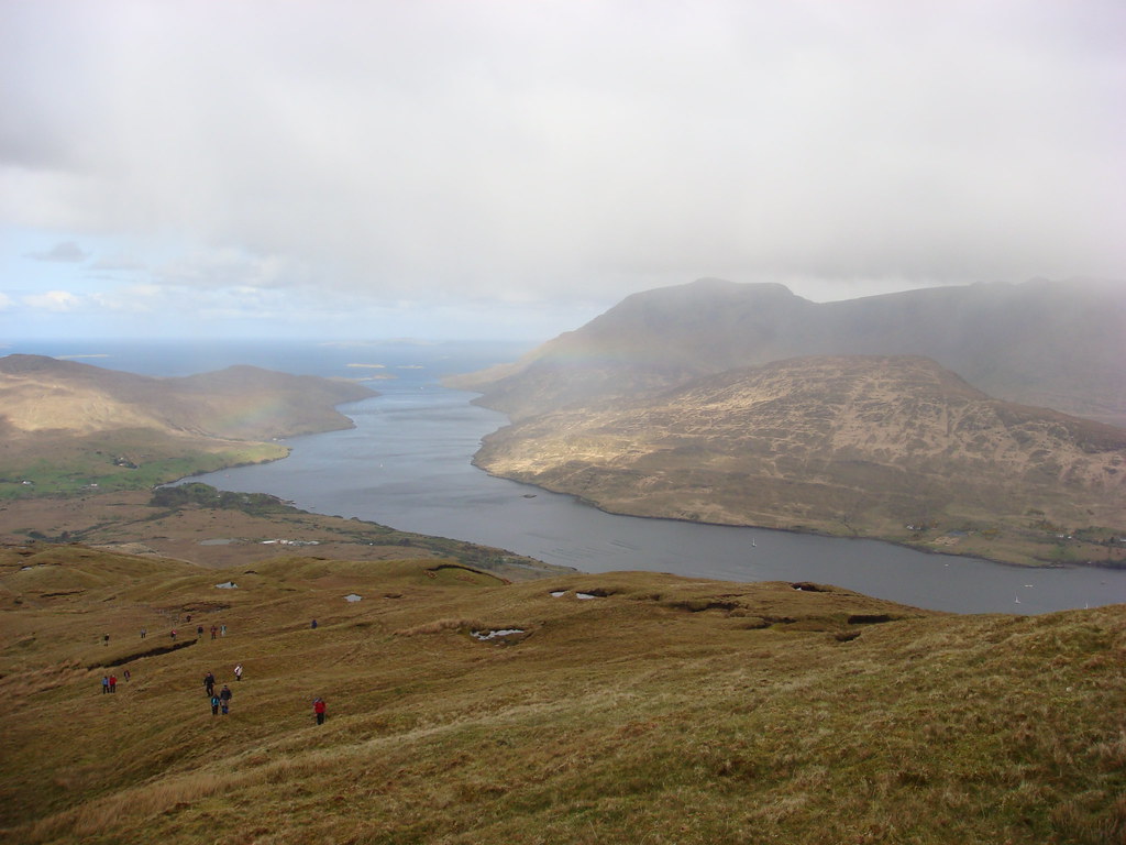
    I've just had a great weekend at the Leenane Walking Festival which ran over the May bank holiday just past. On the Saturday I took the long Ben Baun walk, highest point in Co. Galway, which started out in the Gleninagh valley. After getting to the top of Ben Baun we headed onto Luggatarriff, down to the saddle between Luggatarriff and Muckanaght and headed over to top Benbrack. From there we made our way to the saddle with Knockbrack then headed down towards the road near Kylemore Abbey. The weather, besides one good shower at the top of Gleninagh, was fantastic! I think it took us 6 hours 45 minutes, but, there were two groups with 61 people in total so we were moving at the pace of the slowest member which is the right thing to do. Tea and scones from the Nuns before the buses picked us us.

    Gleninagh Valley.

    Gleninagh.jpg

    Looking towards Baranoraun.

    TowardsBarnanoraun.jpg

    Looking down over Gleninagh, Lough Inagh overlooked by the Maamturks.

    GleninaghTurks.jpg

    Errisbeg hill in the distance, Roundstone bog and out towards Ballyconneely on the right.

    Errisbeg.jpg

    Coming off Ben Baun top going towards Luggatarriff.

    TowardsLuggatarriff.jpg

    Muckanaght which we bypassed, it'll have to keep for another time.

    Muckanaght.jpg

    Kylemore Abbey coming off Ben Brack.

    KylemoreAbbey.jpg

    The Diamond, Letter Hill, Kylemore Abbey with Doughruagh over looking it.

    DiamongLetterHillKylemoreAbbeyDough.jpg

    Achill head and Croaghaun, on Achill island, in the distance, Kylemore Abbey bottom right.

    CroughanDistant.jpg


    On the Sunday It was time to do the long Mweelrea walk. We started out on the Delphi side of Doo Lough. The ascent there I found, being a newbie, fairly steep. It was also wet and a bit slippery underfoot. Once we had finished the ascent it was easy going for the most part. Going from Benburyl, I was told the final climb up to Mweelrea top itself was hard enough, I found it quite easy. It's a long slope, but not steep and the ground underfoot is great. From Mweelrea top the plan was to descend towards Killary Harbour, then turn towards 495 and down on towards Bunnaglass. Just off the top there's quite a narrow ridge that you have to take, as one guy said coming up is optional, getting down in mandatory. It's single file with a fair old drop to the left and a very very steep grassy slope to the right. Not a place I'd like something to happen. The going was steep enough in places and wet in spots, some long heather along the route we took. But, everyone took their time and got down grand. The festival had organised RIB's (a great and necessary touch) to pick us up from the shore and up Killary Harbour, tea and scones again and then we were bussed back to Leenane.

    Mweelrea photos next post.

    Then it was into the pub for a pint, have the craic until the BBQ and Ceili that night. I have to say I had a fantastic time and would recommend it to anyone without hesitation!

    Just a bit of local info but if Michael Gibbons is leading any walk next year, do go. He's a local Archaeologist and you will not be bored I guarantee you. He lectures on my course and I've heard him speak before. Unfortunately due to work and the Ben Baun walk Saturday I couldn't make his lecture Friday night or go on the Glencroft walk Saturday!

    Information about this years festival can be found on http://www.leenanevillage.com/

    Many thanks to the organisers and guides who made is such a great event.


Comments

  • Closed Accounts Posts: 10,271 ✭✭✭✭johngalway


    Doo Lough Start.

    DooLoughStart.jpg

    Looking towards the ramp.

    TheRamp.jpg

    Looking back along an interesting part of the ridge, many stories told at lunch!

    Ridge.jpg

    Uggool beach from the top of Mweelrea.

    Uggool.jpg

    Glassillaun beach middle left.

    Glassillaun.jpg

    Coming down off the top, worst part of that ridge is above out of view. Kept the head down to get off the damn thing :D

    DescentRidge.jpg

    It's not the drop that get's ya, it's the sudden stop at the bottom.

    TheDrop.jpg

    Towards Glenconnolley I think it's called.

    TowardsGlenconnelly.jpg

    Killary Harbour in the sunshine, Maamturks on the left, Twelve Bens on the right, glorious sunshine all around.

    KillaryHarbour.jpg

    Our RIB awaits, don't spare the horses :D

    TransportHome.jpg

    Mweelrea from the road on the other side of Killary Harbour and farther inland.

    Mweelrea.jpg


  • Closed Accounts Posts: 4,930 ✭✭✭duckysauce


    cool pics , was there on sun did the leeanne walk will post pics


  • Closed Accounts Posts: 1,171 ✭✭✭paulocon


    Just to compliment you on a superb set of pics - some really amazing shots there.


  • Registered Users, Registered Users 2 Posts: 21,499 ✭✭✭✭Alun


    Some nice photos there, well done. The only time I've ever done Mweelrea we were in thick cloud above about 600m, which made navigation interesting shall we say. Mind you it meant we didn't see the steep drop either side of the ridge when coming off the summit until we were nearly off it and the clouds suddenly lifted which was probably for the best!


  • Closed Accounts Posts: 4,930 ✭✭✭duckysauce


    leeanne mountain on sunday


    4581732704_c3b2c3181e_b.jpg


    4581729510_ed6cc84fe3_b.jpg


    4581096611_16374bdc41_b.jpg

    4581083985_a0d3b95b05_b.jpg

    4581087979_d7961386cf_b.jpg


    4581707136_7c379ea05b_b.jpg

    4581080485_b66d32b464_b.jpg


  • Advertisement
  • Closed Accounts Posts: 10,271 ✭✭✭✭johngalway


    Alun wrote: »
    Some nice photos there, well done. The only time I've ever done Mweelrea we were in thick cloud above about 600m, which made navigation interesting shall we say. Mind you it meant we didn't see the steep drop either side of the ridge when coming off the summit until we were nearly off it and the clouds suddenly lifted which was probably for the best!

    Well I don't know Alun, if you're like me you were better off not seeing the drop :D I would think the navigation would need to be spot on up there in the clouds. Saw a few people coming up "The Ramp" on our way along the ridge. My mate Paul had a great line about that route "It's not dangerous, but if you slip (at the very top of it above the gully) you're dead" :D Think I'll avoid the ramp!


  • Registered Users, Registered Users 2 Posts: 21,499 ✭✭✭✭Alun


    Going by your description, and your second photo, I think that "The Ramp" as you call it was the way we went up. We started at the north end of Lough Doo, followed a stream for bit and then curved up right up a very steep ramp pretty much directly to the top of Ben Bury. It wasn't that bad from memory, and I don't have a great head for heights now. I don't have any photos of the trip unfortunately.


  • Registered Users, Registered Users 2 Posts: 1,508 ✭✭✭Esroh


    Alun wrote: »
    Going by your description, and your second photo, I think that "The Ramp" as you call it was the way we went up. We started at the north end of Lough Doo, followed a stream for bit and then curved up right up a very steep ramp pretty much directly to the top of Ben Bury. It wasn't that bad from memory, and I don't have a great head for heights now. I don't have any photos of the trip unfortunately.

    This is the way we would go up most often. I not like edges to much and dont mind this route


    Fab Pics by the way. I am a lucky chap to live within a 30 min drive of all the hills you can see


  • Closed Accounts Posts: 10,271 ✭✭✭✭johngalway


    Esroh wrote: »
    This is the way we would go up most often. I not like edges to much and dont mind this route


    Fab Pics by the way. I am a lucky chap to live within a 30 min drive of all the hills you can see

    We don't live too far apart so! I'd be roughly the same distance away but the other side.


  • Registered Users, Registered Users 2 Posts: 5,441 ✭✭✭Slogger Jogger


    Cool pics. Check out the photos on the imra site for the events we had last weekend on Saturday on Croagh Patrick and Sunday on Ben Gorm - past some walkers then, who were probably part of the festival... The weather gods were kind to us and we'd a nice stay in the hostel in Delphi. Some of our runs were more walks that runs, but great fun nonetheless.


  • Advertisement
Advertisement