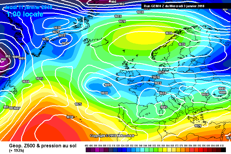
nagdefy wrote: » If only the GFS would get it's act together! A bit underwhelming 12Z. I was really fearing an ECM climb down..
sryanbruen wrote: » Just a precaution to anybody reading these charts, the ECM was infamous for phantom easterlies last Winter.
BLIZZARD7 wrote: » I do recall it showing a few late November /december - was it doing it all through winter though? There's also that infamous december 2012 one that disappeared at +72 hours...
sryanbruen wrote: » Y I am quite aware of the November 2012/December 2012 one courtesy of pad199207, I can feel the pain of model watching that must have been. .
sryanbruen wrote: » Yes it was though not to the extent that it was in December showing the mid-December cold snap as well as New Year's easterly blast. It went overboard with the February easterly. I am quite aware of the November 2012/December 2012 one courtesy of pad199207, I can feel the pain of model watching that must have been. I'm hoping this one is different as January has been looking like the best month for any chance of severe cold or heavy snow out of Winter 2017/18. The GFS is seriously doing my nuts in, same with the long range models such as the CFSv2 which are going for an exceptionally wet January and very zonal dominated.
George Sunsnow wrote: » Can I echo the mods plea that we don’t turn this into a moan and groan thread and just comment on the possibilities.
Rebelbrowser wrote: » Funnily enough when I was tracking the CFS during November for the white Christmas thread it kept showing a very cold January from mid Jan onwards.
Billcarson wrote: » Imo looks like a 24 HR window for snow,Fri evening- sat evening. I would think it should be cold enough for snow accumulation during the day on Saturday imo. Not that im expecting to be buried in it or anything. But a ne wind in Jan should deliver something to the east.
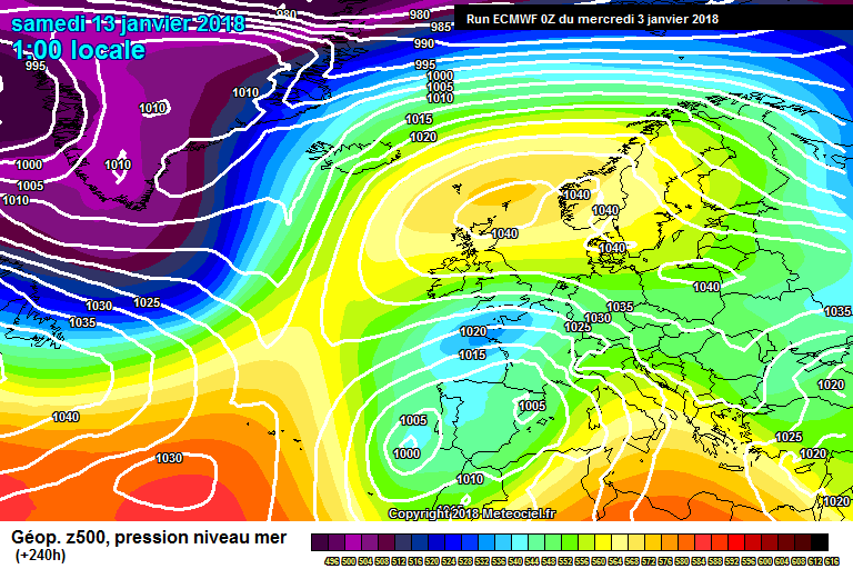
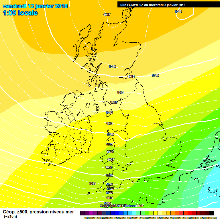
Shedbebreezy wrote: » ECM is nothing to be overly excited about if it's snow you're after. Looks predominantly dry, high pressure over the top of us mostly, briefly heads east before building over us again. Not feeling the excitement
George Sunsnow wrote: » Disagree Quite Snowy at times in Leinster -10 850’s galore by day 10 Dublin area especially
George Sunsnow wrote: » You are missing my point -8 850’s are plenty in that flow for showers at times Coastal flurries only with pressure that high by day 10 but not totally dry The position of the high at day 10 may change but cold air advection less so All interesting , not boring,nonetheless Something’s brewing
force eleven wrote: » On the face of it, it looks good from about four days out, but my concern, from a coldie point of view, is the lack of a really deep cold pool to the east and northeast. Moscow, for example, is still above freezing and only forecast to go a little below for the next week or so. Shouldn't we be looking for the -15 to -20 temps there biting in, to get something memorable down the line here fed by the easterly fetch?
George Sunsnow wrote: » No -8 or -10c which is what Moscow had in feb 91 Next weeks midweek max’s at DME are -4 to -6 But those forecasts are as iffy as our own The longer the feed ,the more cold will advect I’m not a fan of easterlys Northeasterlys are better Not ruling anything out or delving too deep at the moment Let’s see