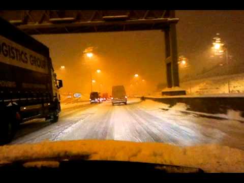
Hi guys. A brand new thread to discuss the continuing below average and cold period of weather and continuing potential snow risks. Here are the key points for the coming week or so.
- Next 5 days at least very cold
- Very low night time minima (sub -6 c lows inland most nights)
- Daytime temperatures staying in low single figures
- Mostly dry through the week
- Frost and ice most nights
- Snow in places Monday night and Tuesday night
- Ulster and north Connaught, higher ground in Leinster most at risk
- Wintry showers at times in the northwest and briefly along east coast midweek
- Milder weather may break through by Sunday
- High degree of uncertainty and volatility in 4 - 6 day forecast range, forecast will evolve
And off we go, again:)