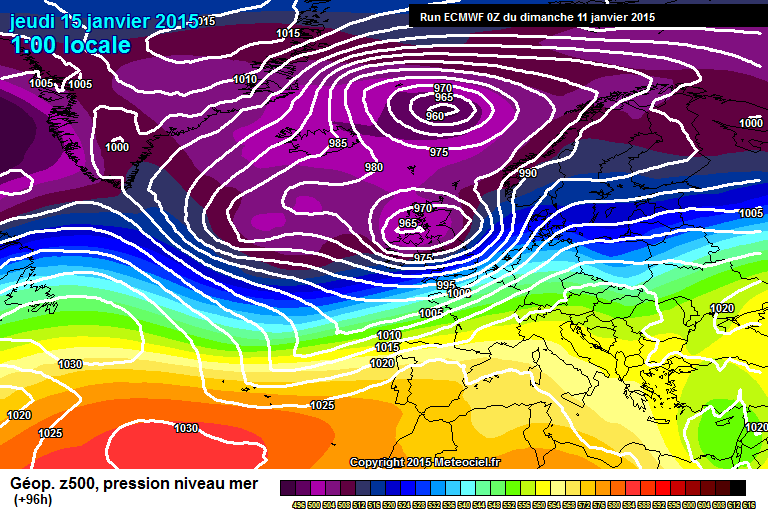
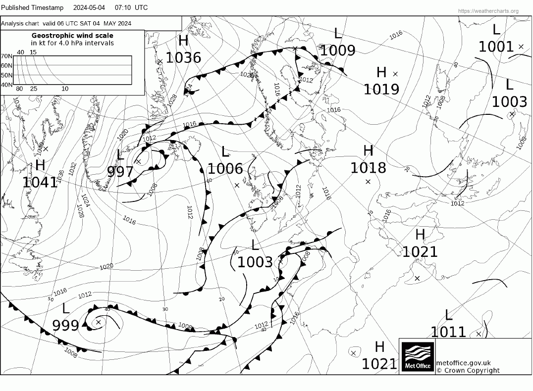
Latest guidance suggest sharp cyclogenesis or rapid deepening and tightening of the pressure gradient in transition off the west coast and the potential for storm gusts along with strong average wind speeds. It is still early to speculate numerically the actual speed that can be expected but certainly potentially damaging to structures. The west is most vulnerable but should it occur as progged it is a nationwide problem all be it to varying and dynamic extents.
Warnings will almost certainly be issued on Monday.


Keep up to date as this is a developing situation and strength and intensity are not nailed on just yet. The track has cross model agreement.
00z ECM is slightly less dramatic because it does not deepen the LP so much with damaging winds for the southwest but not as intense elsewhere - still an upgrade on the 12z.