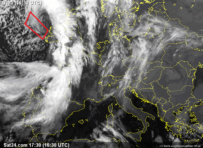
A substantial upgrade on this mornings 06z in terms of tightening of isobars off the West coast merits a level 2 warning in my opinion.

Whats giving rise to this stormy spell is the low pressure making its way East across the atlantic is getting squashed by the strong high pressure over europe .
Winds will start picking up in the Kerry, Clare regions from sunrise saturday morning and increase right up to midday as the low centre move NNE .
Winds of up to 95kph and severe Gusts of 125 , perhaps 130kmh are possible on exposed coast in the west , Galway possibly taking the brunt of this storm.
[IMG][/img]

The severe gusts then will be more concentrated in the NW but still high winds country wide with gusts to 95kmh .
Due to the Northerly component of these winds , western areas might not get anything out of the norm for them but still something to watch for. High winds in areas of the wicklow mountains would be noticeable in S Dublin especially .

PIty i will be working all day saturday and wont get to be out to enjoy it

All eyes on the 12z to see if it keeps things in line with the 6z.