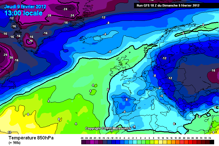
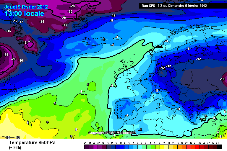
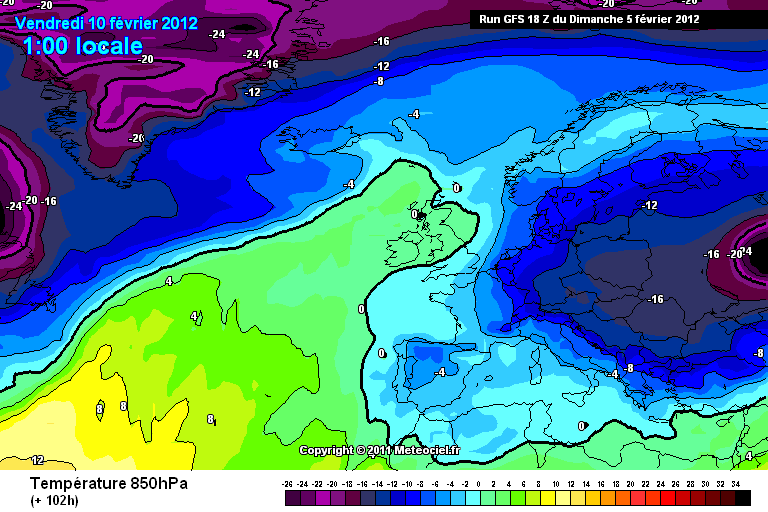
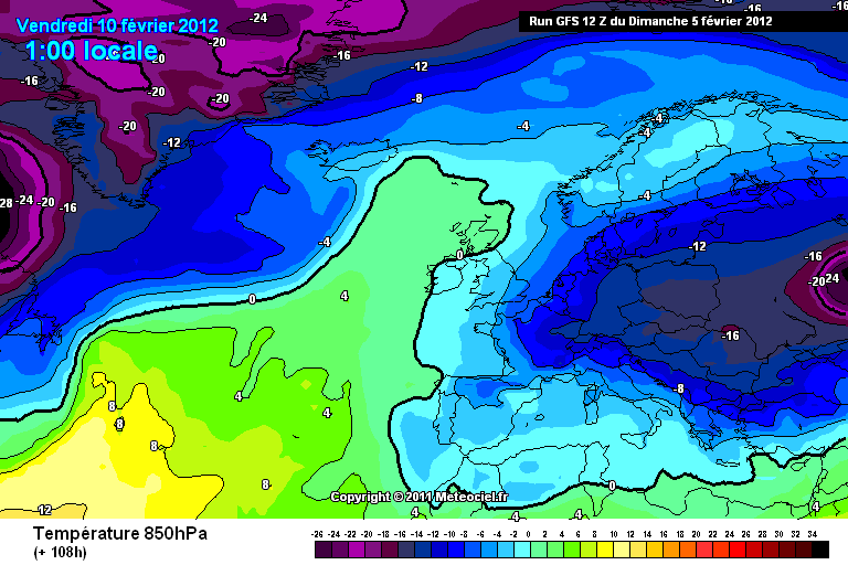
To_be_confirmed wrote: » That 850hPa temperature chart shows the -14 isotherm as not even reaching Svalbard. I'm not sure that situation could deliver on snow in more coastal or low-lying parts of Ireland.
darkman2 wrote: » Hi all, I have read all the posts since I last posted. I think Su Campu is partially wrong. He is correct that a Northerly is coming. However where he is incorrect is wrt the Eastlery before hand. That is also coming.The 18z GFS was a joke run fit for the bin. Completely unrealistic to anyone with experience and knowledge of these situations.Yes a Greenland high is going to build (does not need support from the Azores, it's going to happen anyway). But I stick to my point a very cold Easterly will become established before hand. Now it could be a few days prior to the Northerly but I think the driver of heights that direction will be coming through these Islands. This will drive instability probably off the continent. So the flow will be likely Southeasterly. But that does not mean no snow. That is an error to think that. Geopotential heights will fall in a South Easterly and the differential in temperature from upper to sea level would drive convection over the Irish Sea (and possibly onto the South coast aswell) so we could end up with beefy enough snow showers (thunder and lightning aswell) on windward coasts. That may well not happen but I think it's fairly likely. And I am going to stick by that forecast I made earlier. Like I say I could well be wrong and Su Campu completely right but I am fairly confident.
Su Campu wrote: » I was just highlighting to people that an easterly does not always mean snow, but of course sometimes it does. I didn't rule out snow, I said that the actual setup posted yesterday was very similar to last week's, which produced nothing, but that if things were to change slightly, such as a disturbance over the continent, then we could get some. The same as what you said above. I have not been using the models beyond 48 hours over the past 2 weeks and I'm very happy with the way things have worked out. As I've been saying, I am not basing any of my longer term ideas on model output as to do so is totally useless, and in any case my timescale was well outside the range of all but the GFS. I posted the multimodel charts above purely to illustrate what sort of setup I was talking about. I wasn't claiming that the models were reliable, because they're not. As it happens there is no real model support this morning for a very cold easterly becoming established over Ireland, but of course I would take that too with a pinch of salt. Basically, don't put any focus on the models beyond 48-72 hours.
blackius wrote: » To give darkman2 his due. It is much much easier to forecast milder weather for Ireland and be right than it is to forecast colder and especially severe cold and be right. At the moment the cold is lurking just 250 miles to the south east. Thats is perilously close. There have been several winters when it's done the same and stayed there for similar reasons as to why it would this time round and that is put very simply,systems thrive over water and we are at the edge of a very big warm pond.
t|nt|n wrote: » 168 also ?