From Met Eireann
Tomorrow
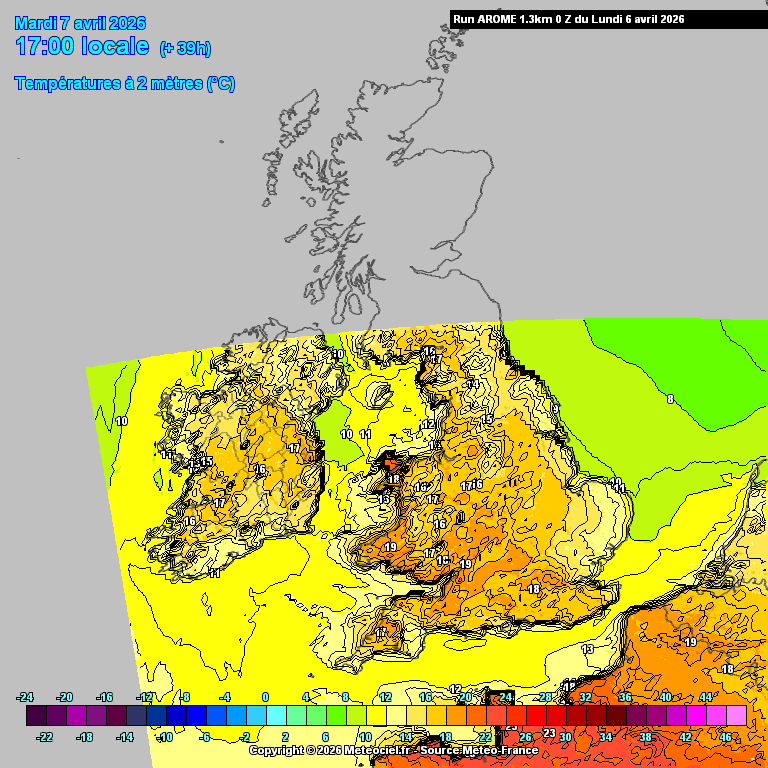
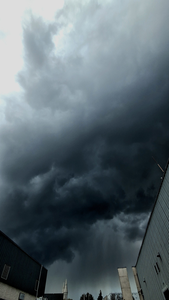
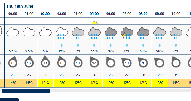
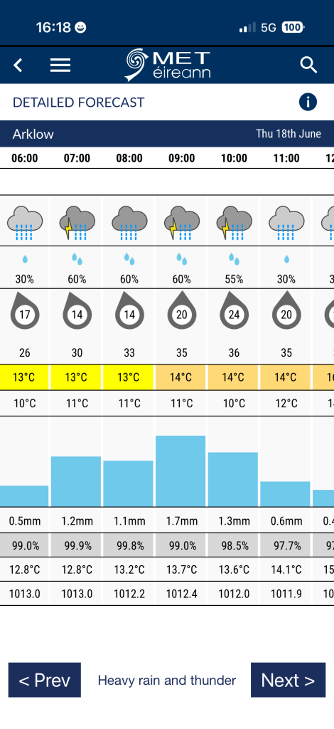
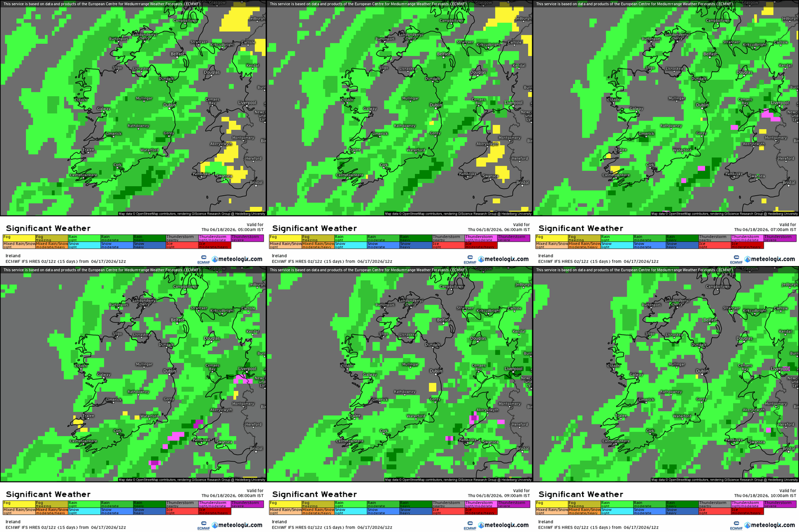
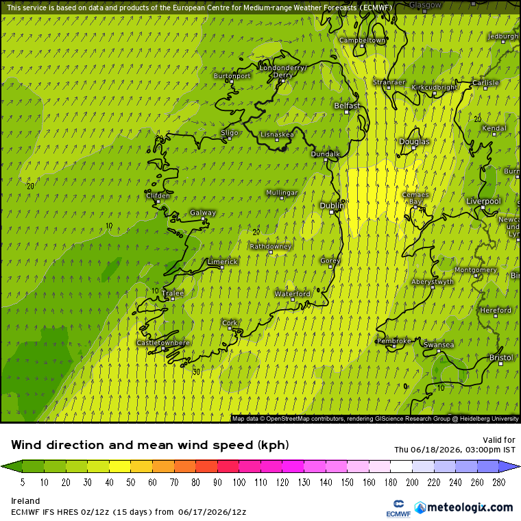
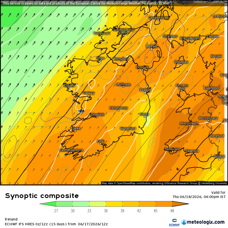
Tuesday will start off mostly dry with sunny spells in the east. It will be cloudier further west with showery rain in western coastal counties, heavy and possibly thundery at times. It will spread slowly eastwards through the late afternoon and evening, becoming lighter in the evening. Mild with highest temperatures of 13 to 17 degrees and moderate southeast winds, easing mostly light later.
………………………………………………………………………………………………..
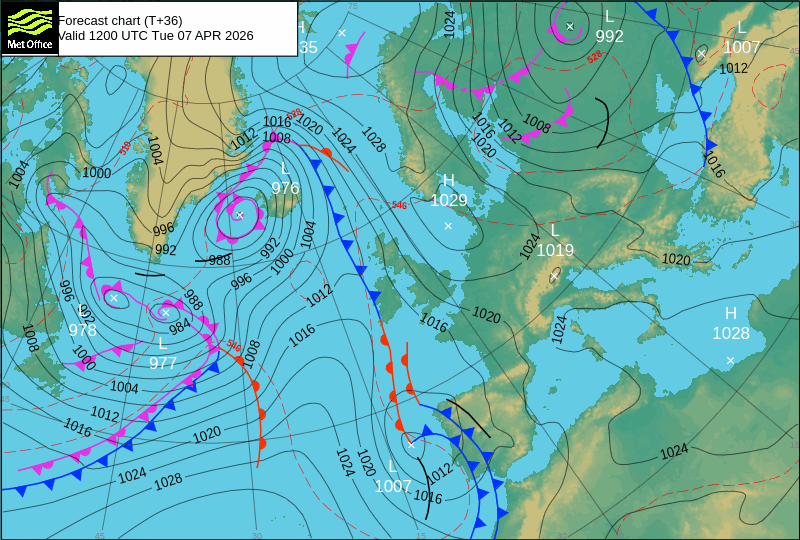
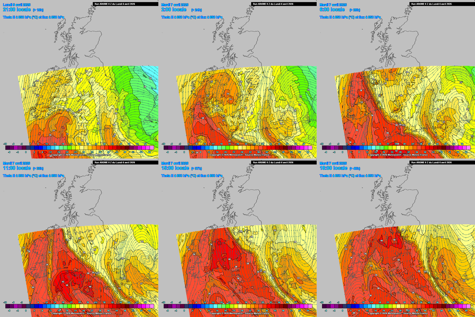
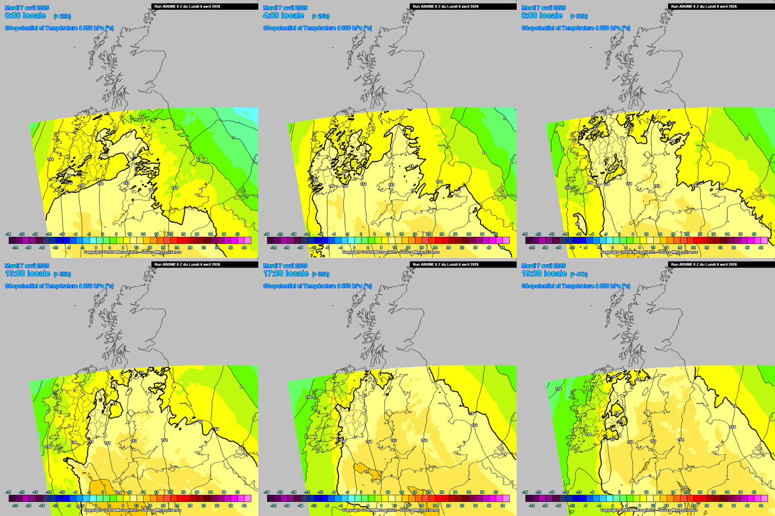
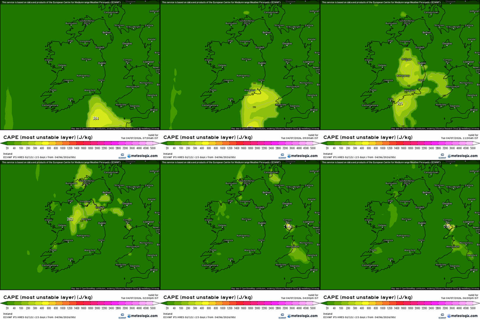
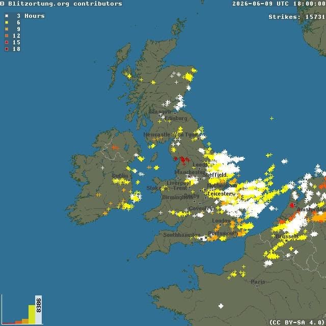
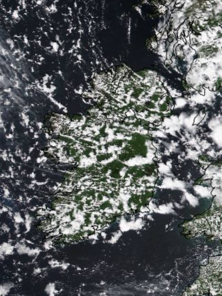
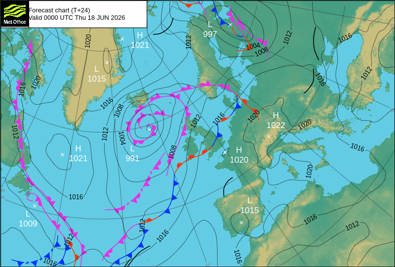
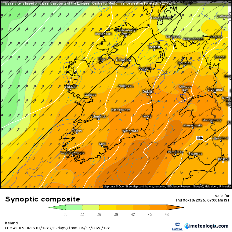
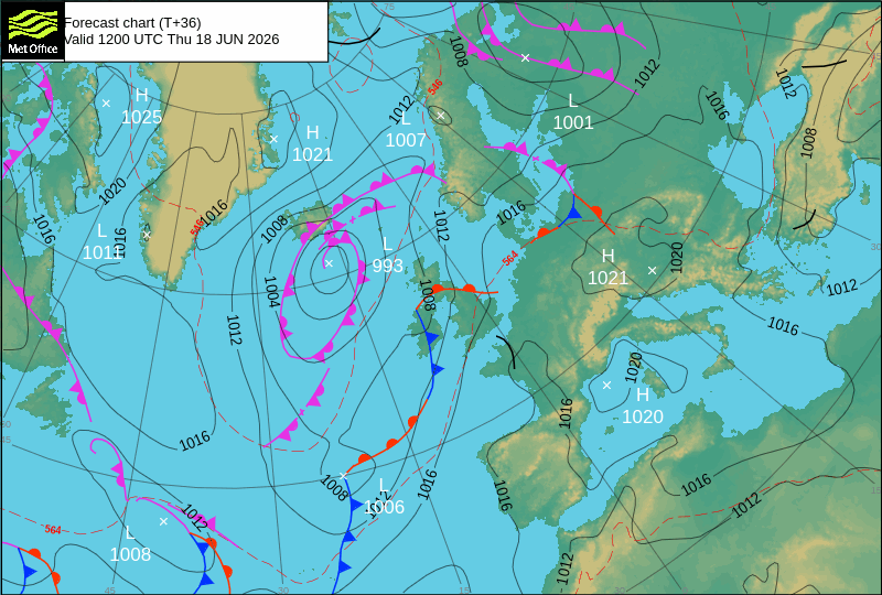
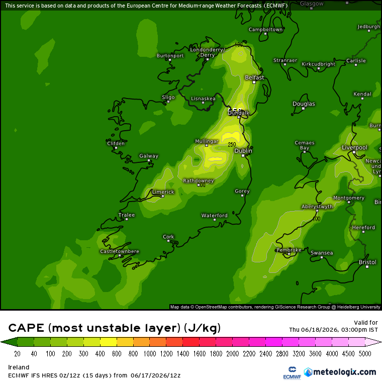
A change in the weather set up giving the more Spring / Summer type convection parameters, namely a warm plume of moisture rich airmass moving up from the South. Day time temperatures up to around 16 or 17C ( maybe 18C in the E ? ) with a high Dew point up around 12 or 13C. Have a weak cold front approaching from the W slowly making its way inland. Some LLS and DLS available, converging winds from the Cold Front might be a bit too late in the day but will see. Currently models showing potential of a few hundred J/kg . Maybe isolated in nature but sometimes these kind of storms can last a bit if they get fired up, parameters just more in the positive side of potential . Anyway a chance to get into the spring / summer type set ups and try and plot the course of the instability leading to convective rainfall and thunderstorm potential. Will see if any update on tonight's charts.