Mod Note:
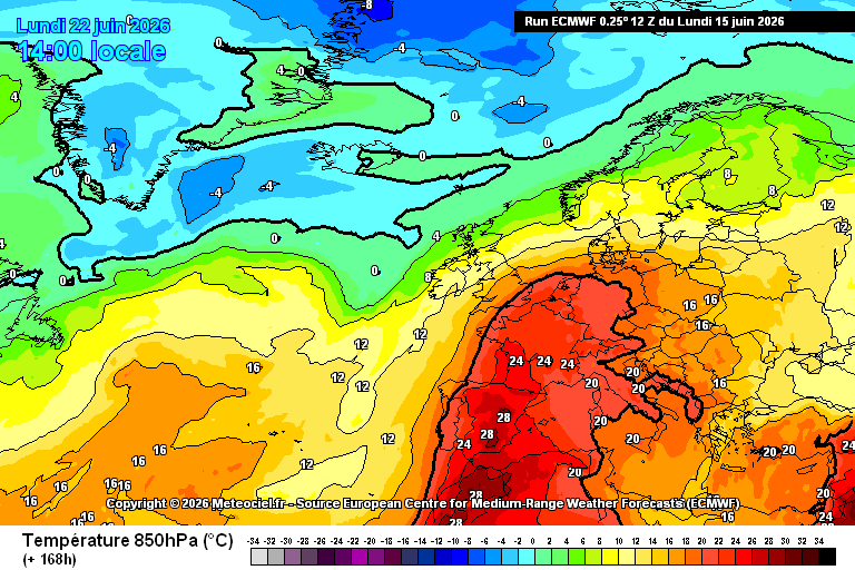
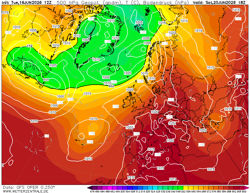
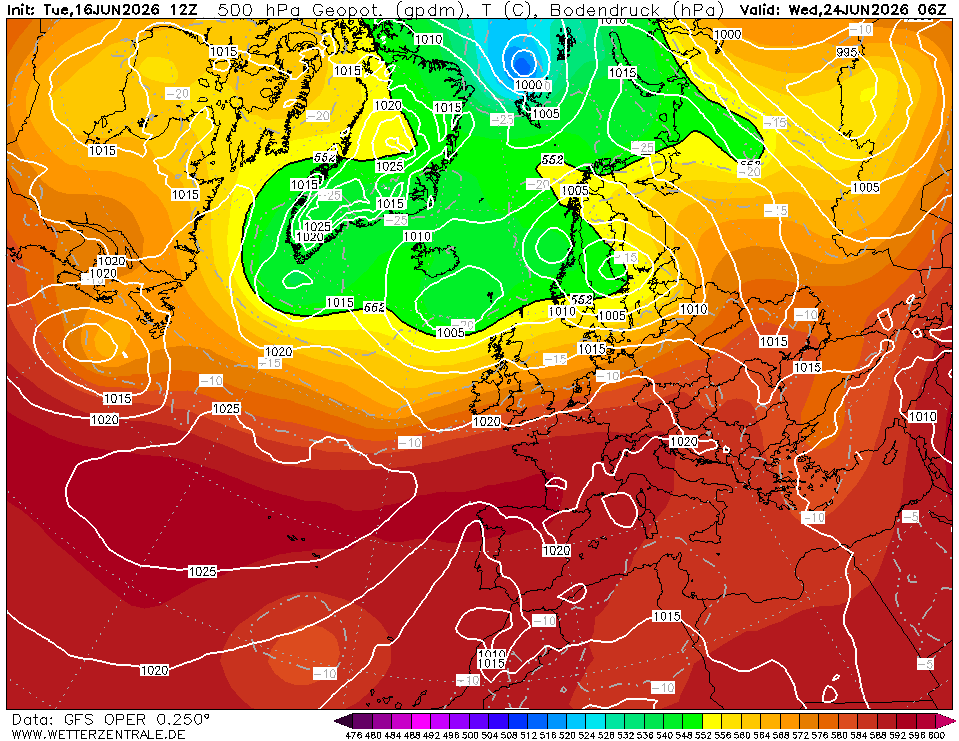
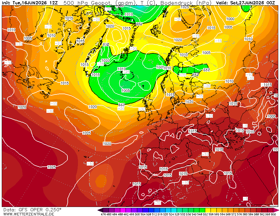
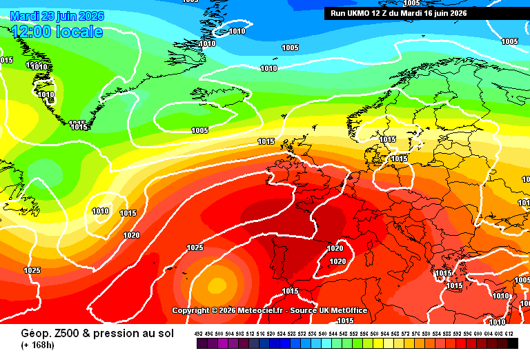
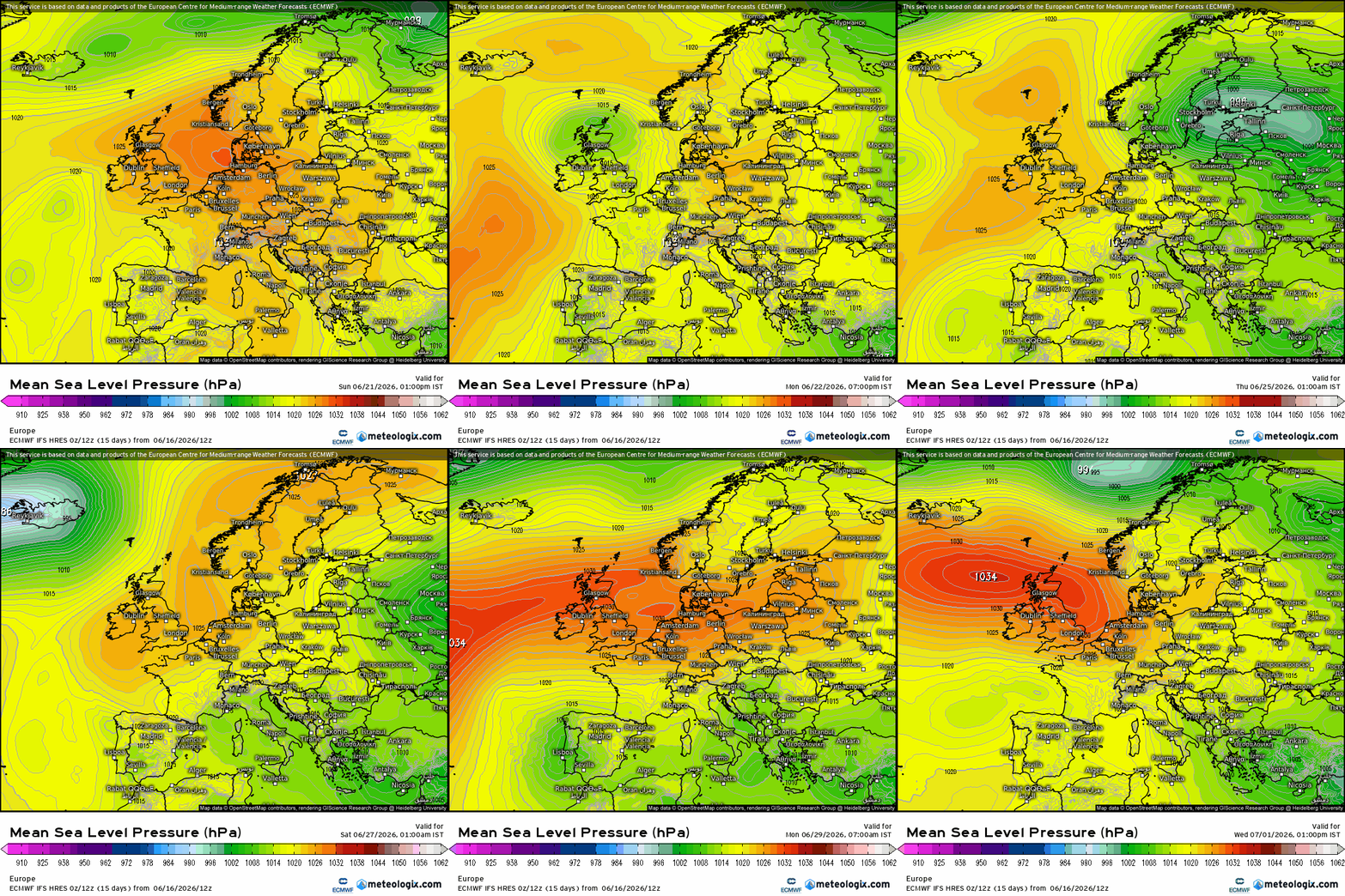
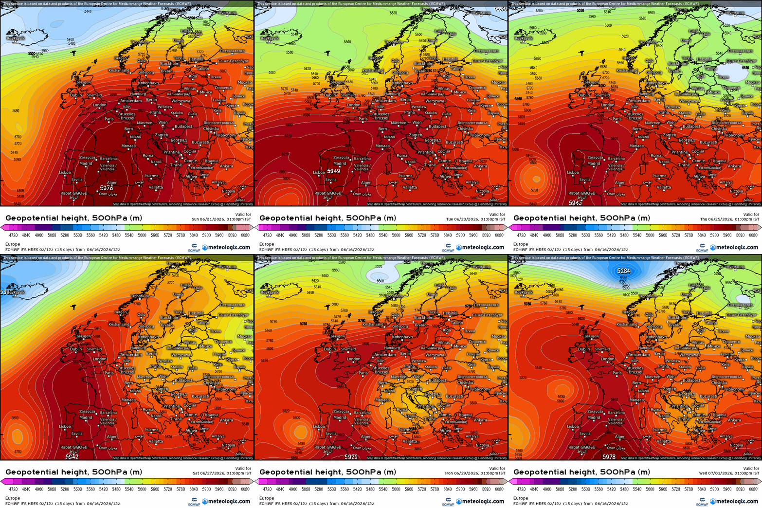
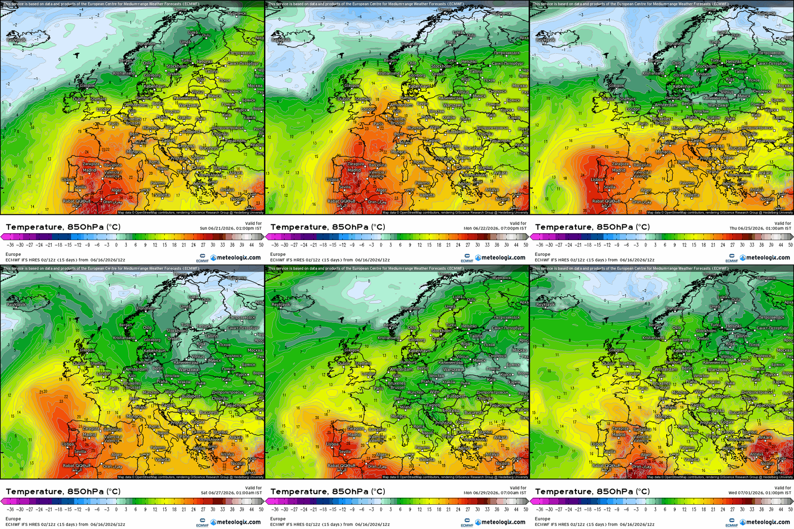
This thread is for posting/discussing/analyzing FI CHARTS ONLY i.e. Charts in the unreliable time frame, generally +T120 onward for Summer 2026.
If your post does not specifically relate to an FI chart then it doesn't belong here - Off topic posts will be moved
Thanks
----------------------------------------------------------------------------------------------------------------------
----------------------------------------------------------------------------------------------------------------------
Summer begins tomorrow on Bank Holiday Monday and the start of June, opening 7 to 10 day period is looking poor with plenty of rain and showers. Low pressure will dominate our weather over the coming week and possibly second week of June.
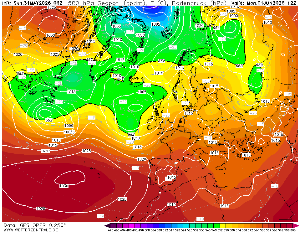
Next weekend looks cool and wet with the green washing machine spinning over us.
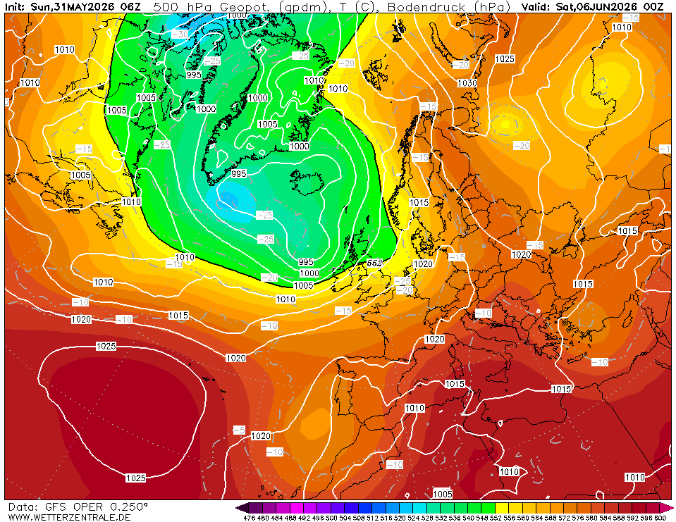
This setup carries on to the following weekend
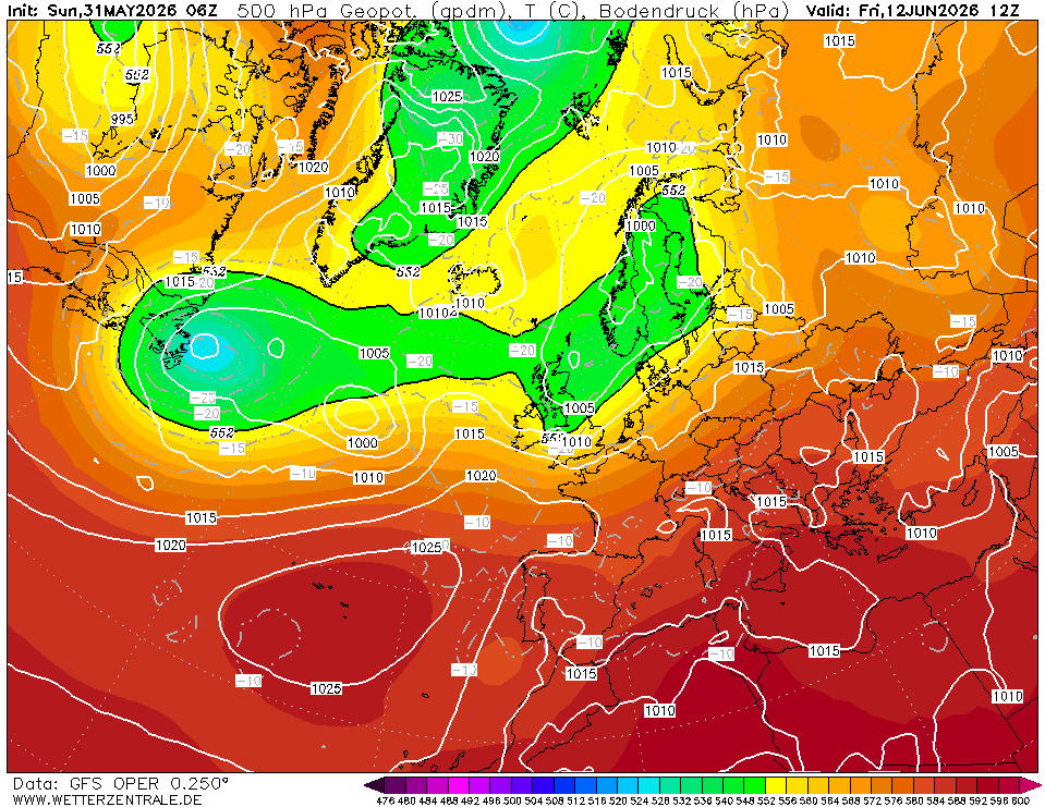
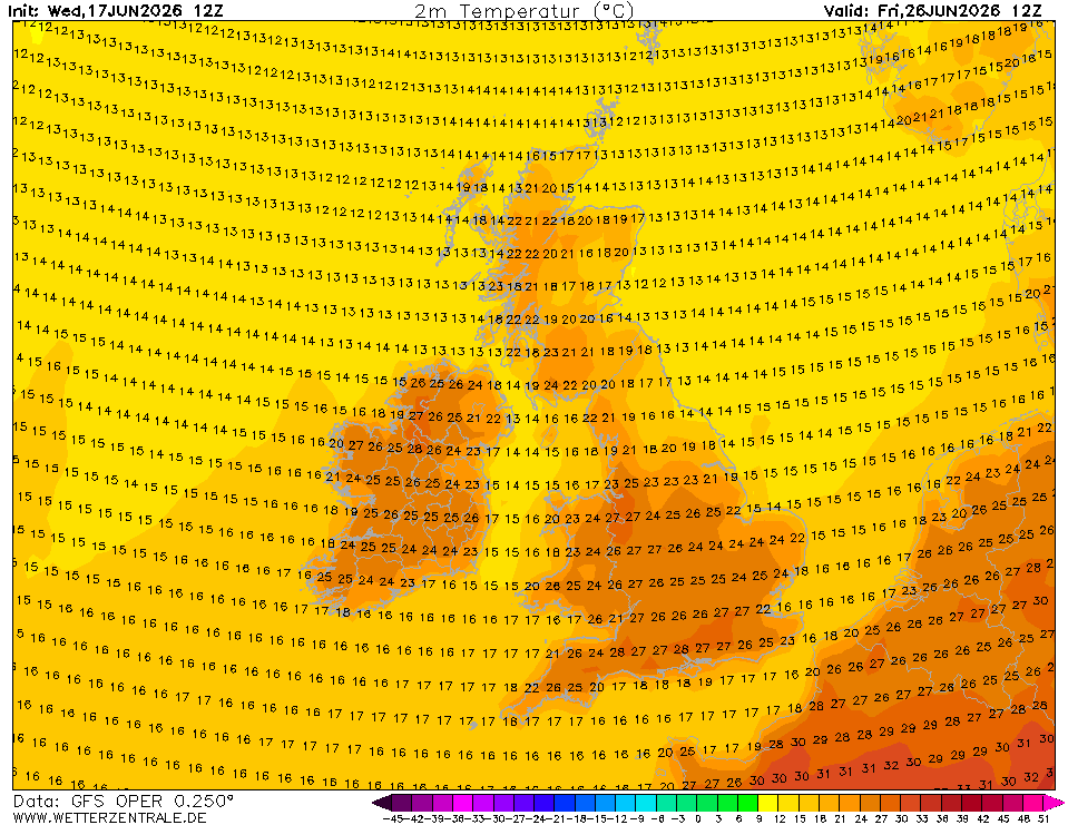
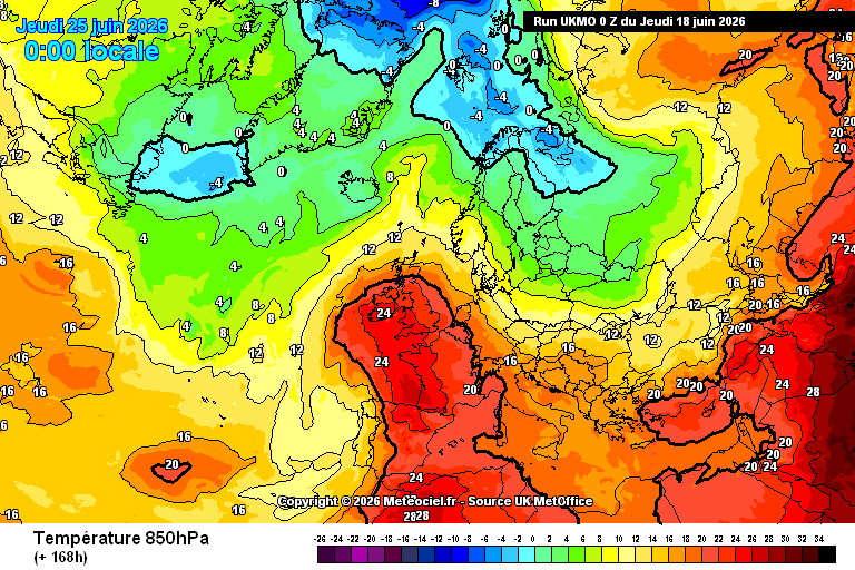
By mid June there are distant signs that our weather may begin to settle down again with high pressure but this is a long way off and therefore unreliable.
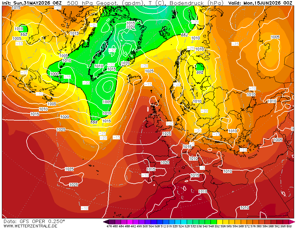
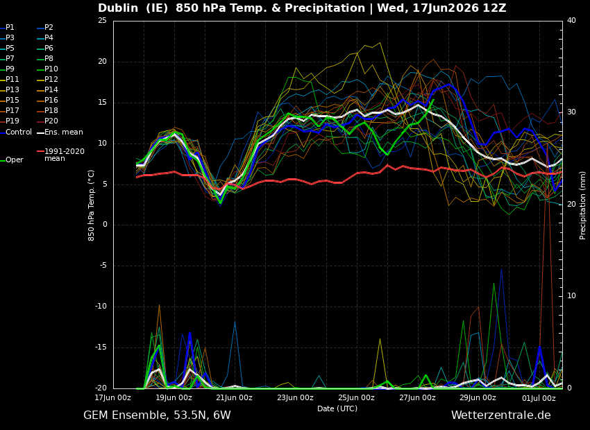
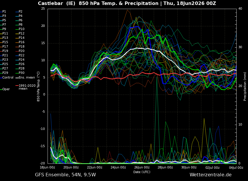
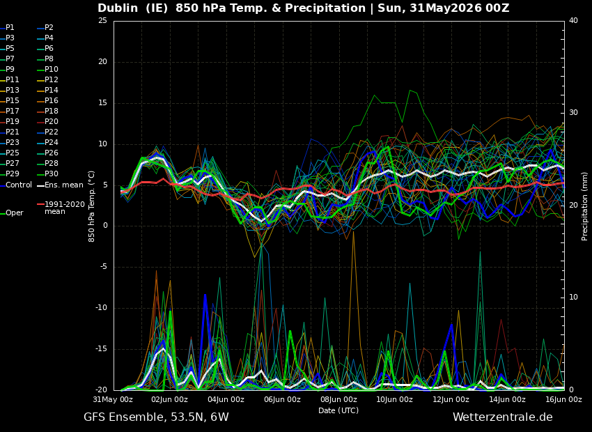
GFS ensembles reflects this with a fairly wet and often cool opening 10 days of the month with hints towards a drying and warming trend as we push towards the middle of June.
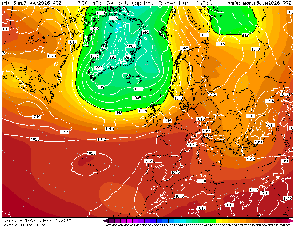
Other models are similar showing an unsettled opening 2 weeks to June, ECM remains unsettled from start to finish with no real hints towards high pressure in this mornings model.
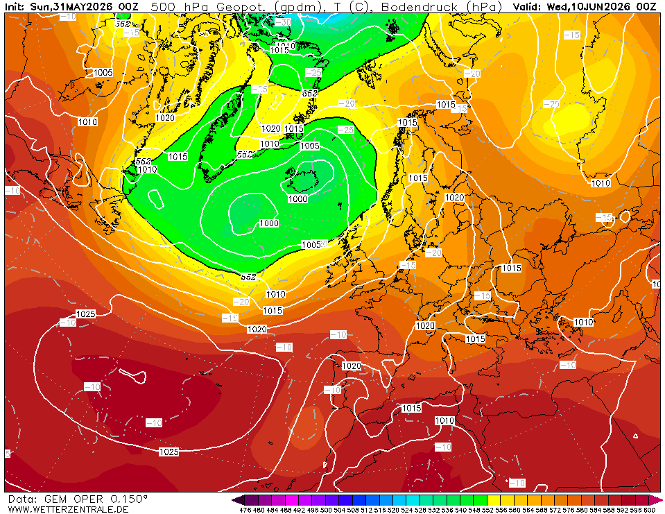
GEM also showing Atlantic domination from start to finish with the azores high staying to our south.
Rainfall amounts look highish towards the west and around average in eastern areas but this changes from run to run.
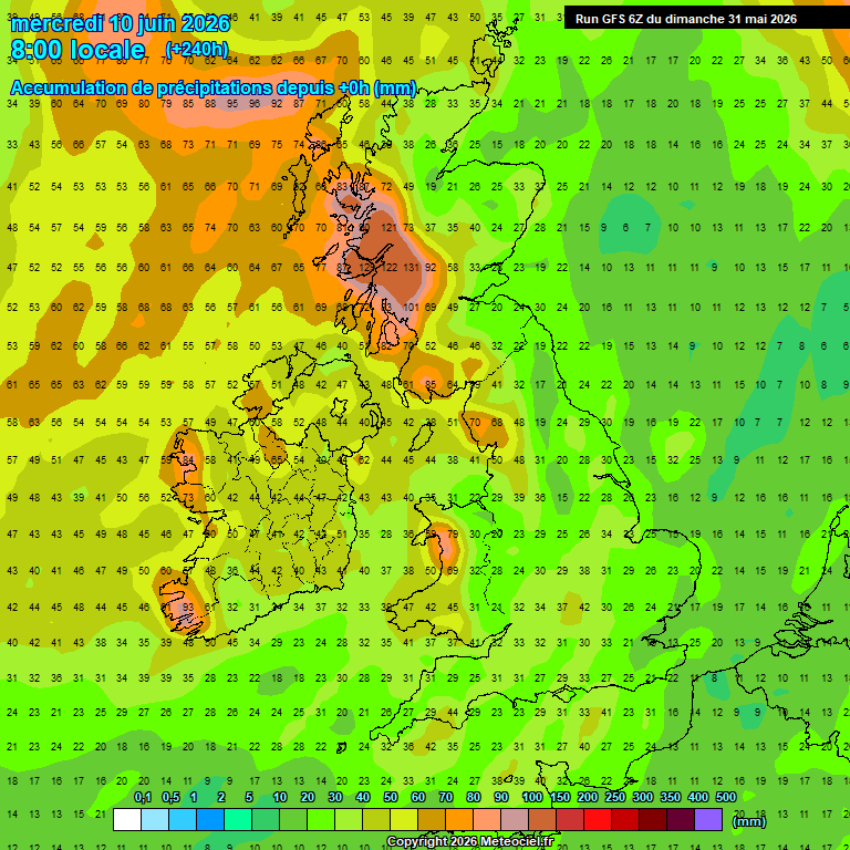
Hopefully in about a weeks time we will start to see a more definite trend of an improvement towards mid month.