I’m doing some research for a local heritage group in south Co. Sligo (barony of Leyny) and have been working with the 1650s Down Survey maps.
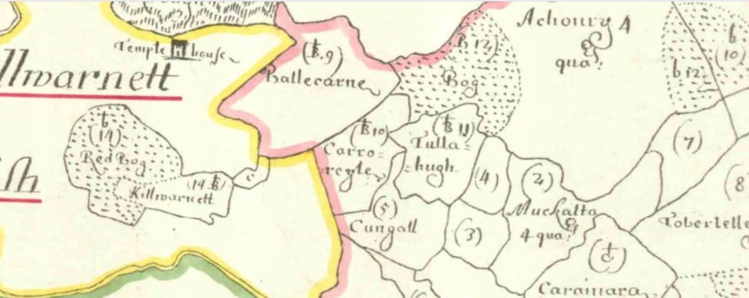
I’ve noticed a recurring symbol in several townlands that I haven’t been able to identify. It looks like a capital “B” with a small cross (or “t
” shape) on top.
From the same map:
Templehouse Castle is shown with a clear castle drawing
A known church site at Carniara is marked with a simple standalone cross
So this “B + cross” symbol seems to represent something different from both a standard church and a castle.
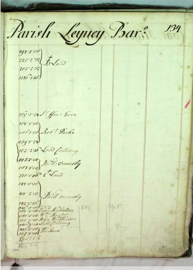
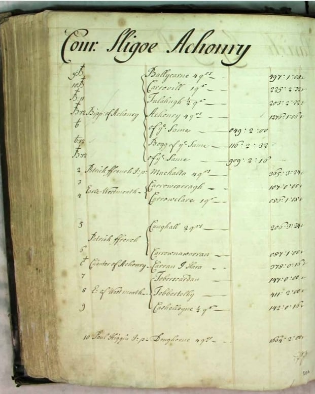
I’m wondering if anyone here has come across this before, or knows if it’s explained in any of the following:
a Down Survey legend (if one survives)
Civil Survey descriptions or terriers
any published studies on Down Survey cartography
I’m conscious that the survey isn’t fully standardised, so I’d be especially interested in any primary references or documented examples, rather than speculation.
Thanks very much for any help or pointers.