Mod Note:
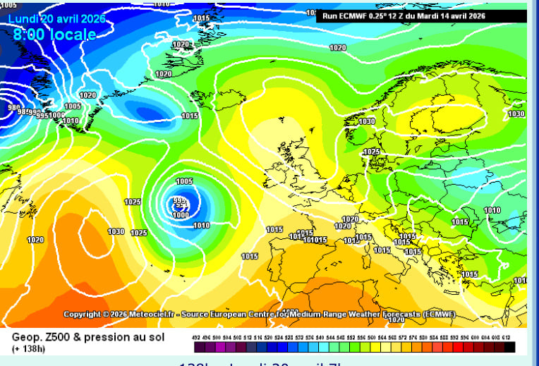
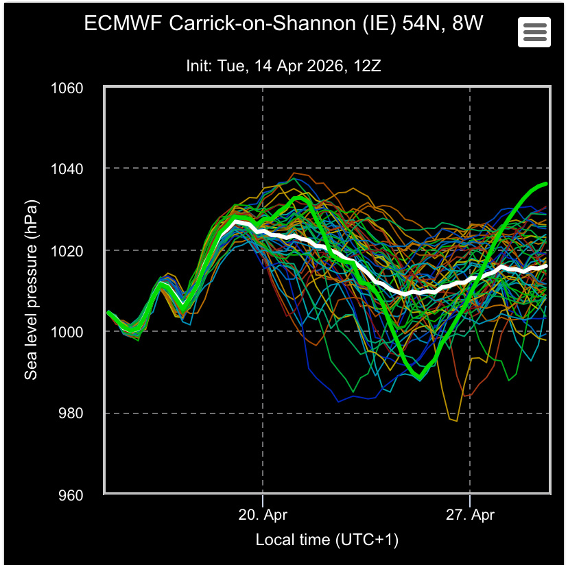
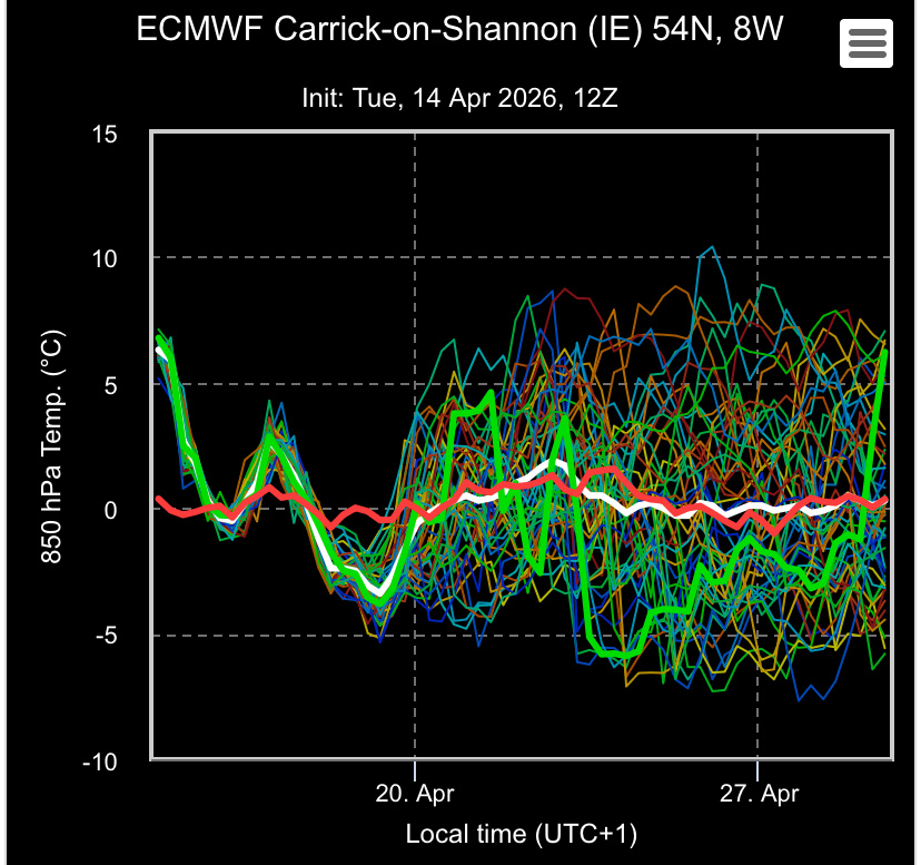
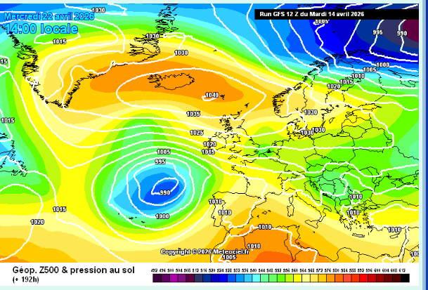
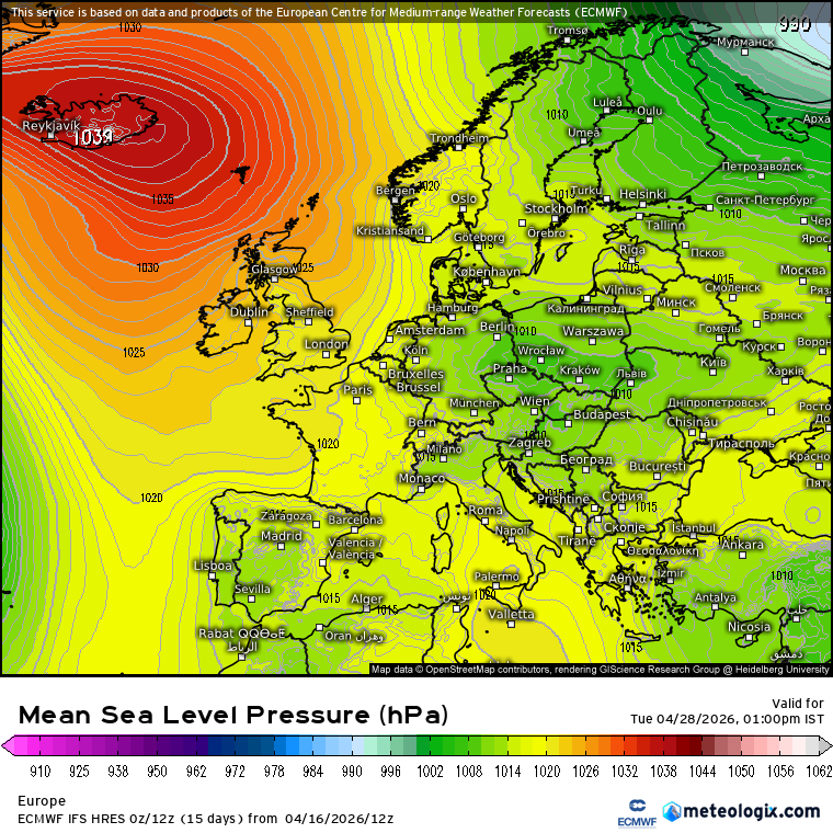
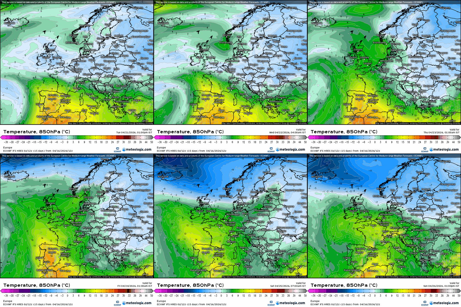
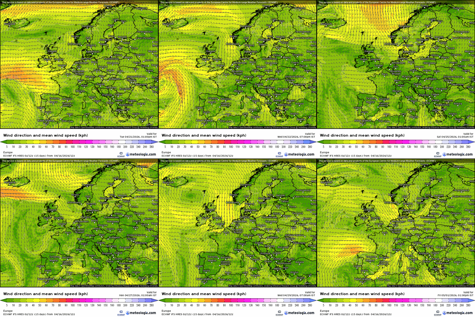
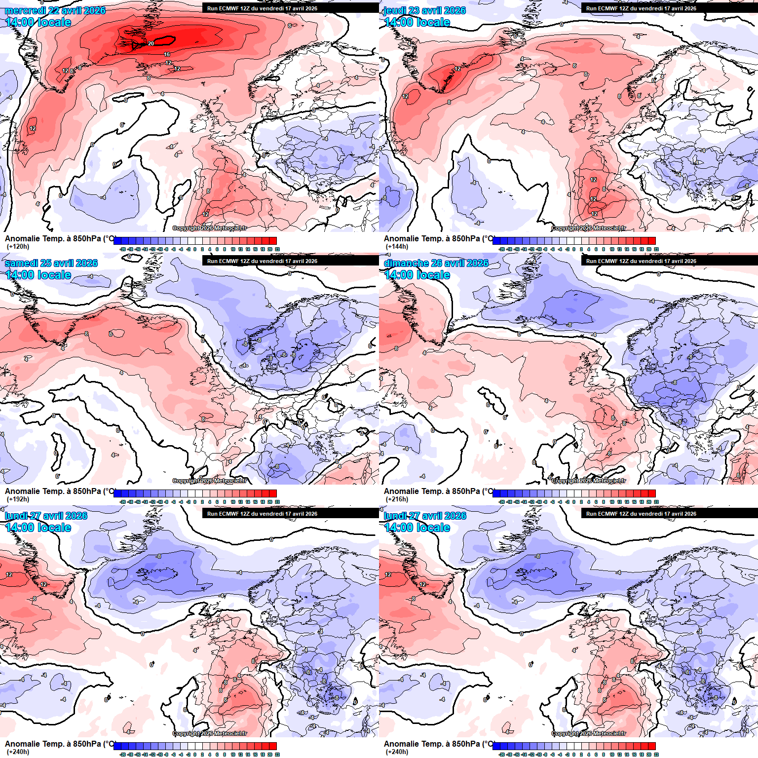
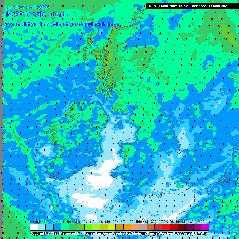
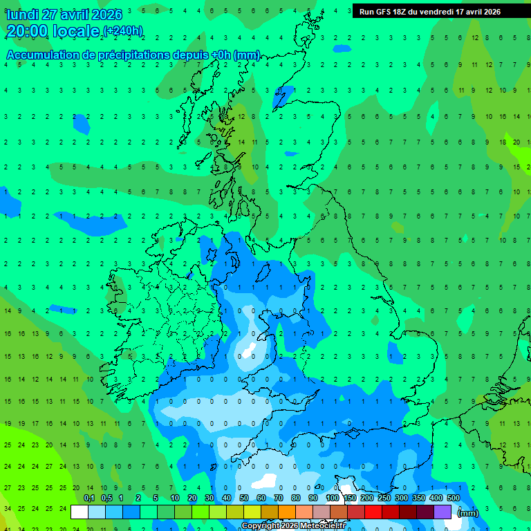
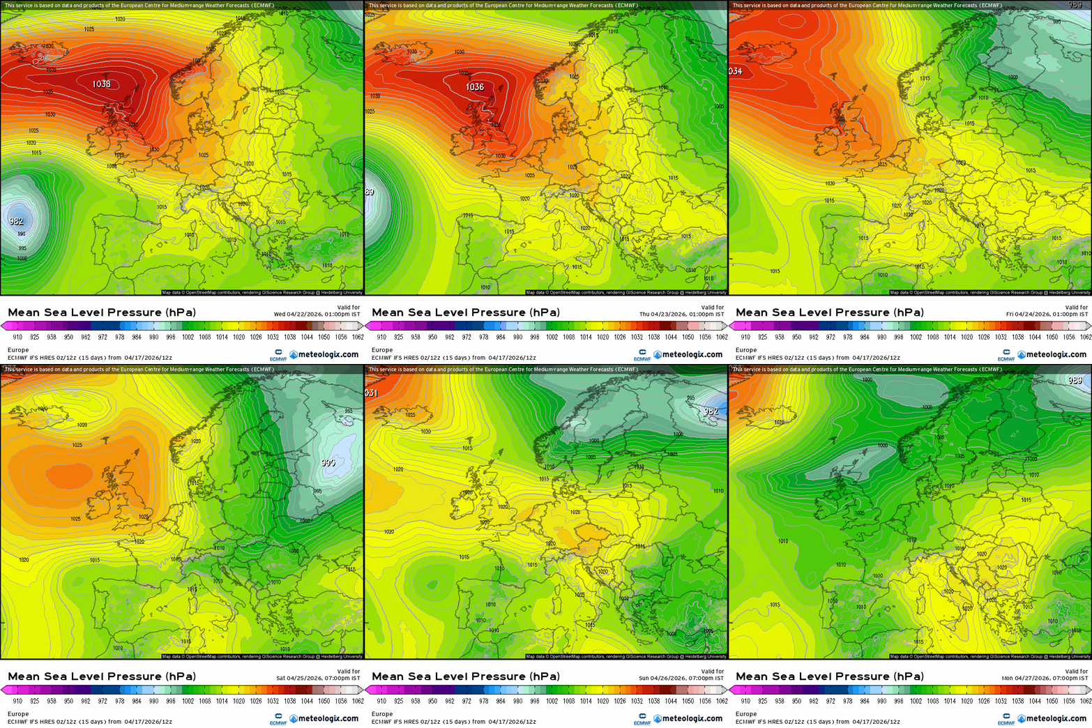
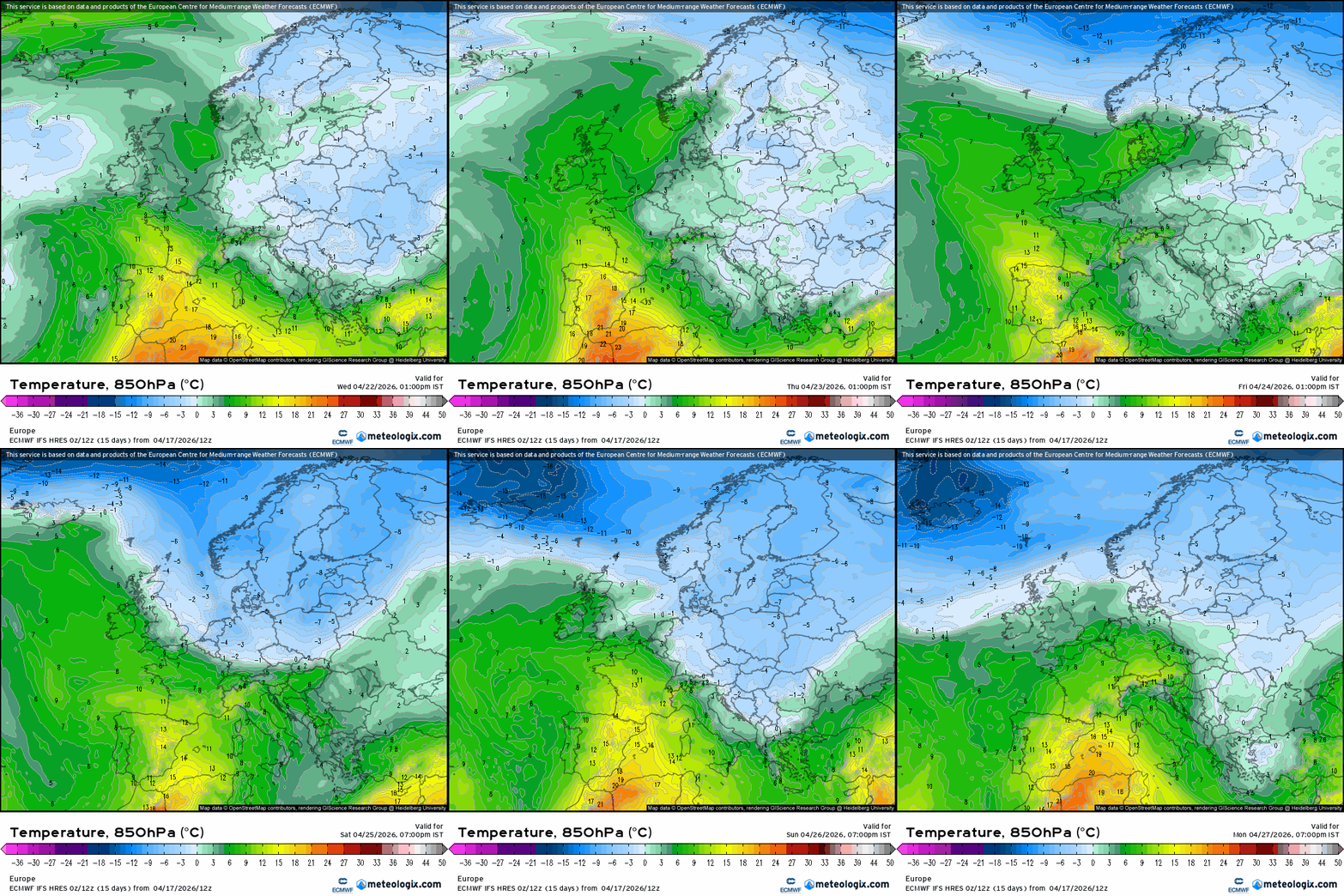
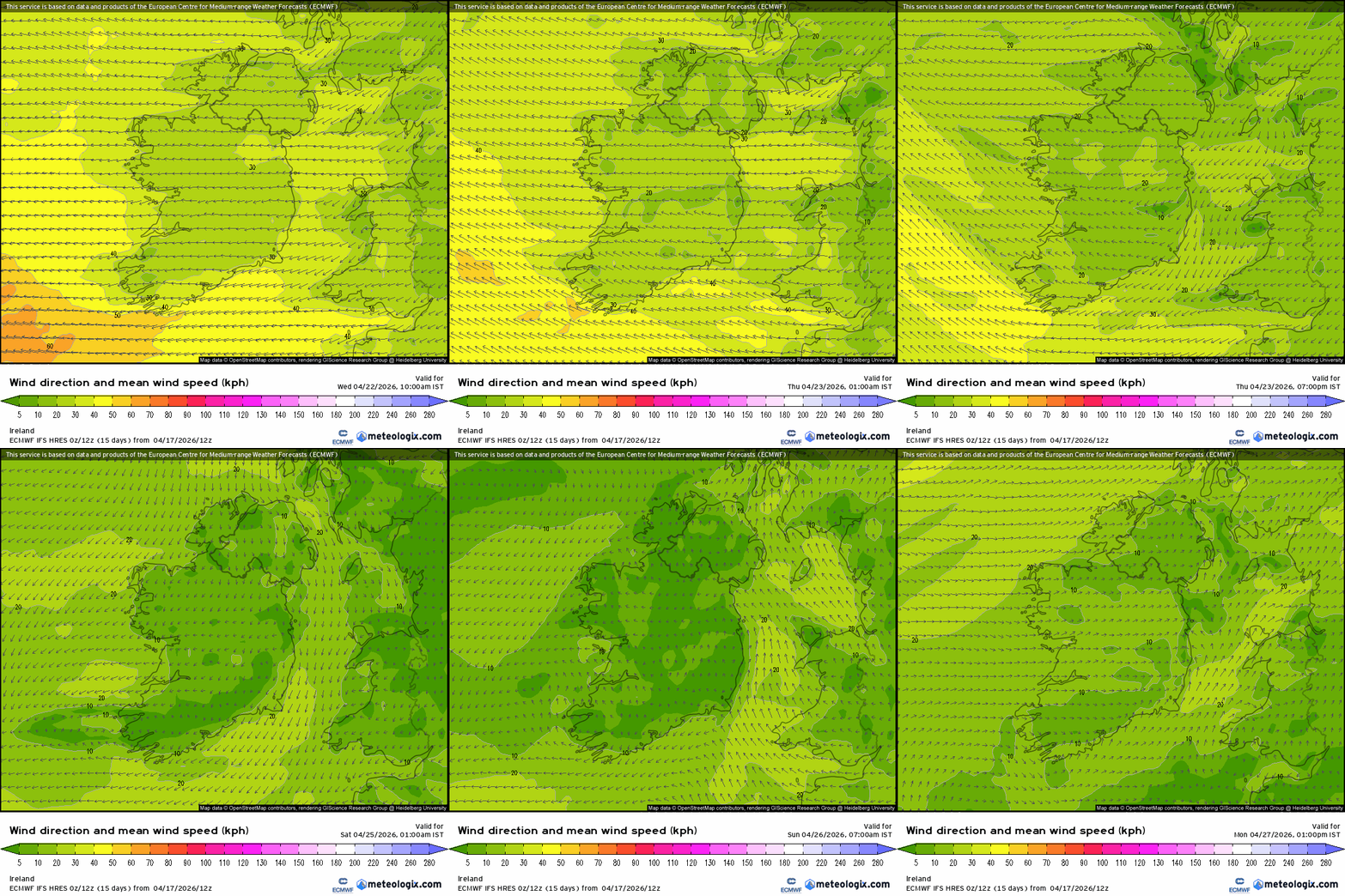
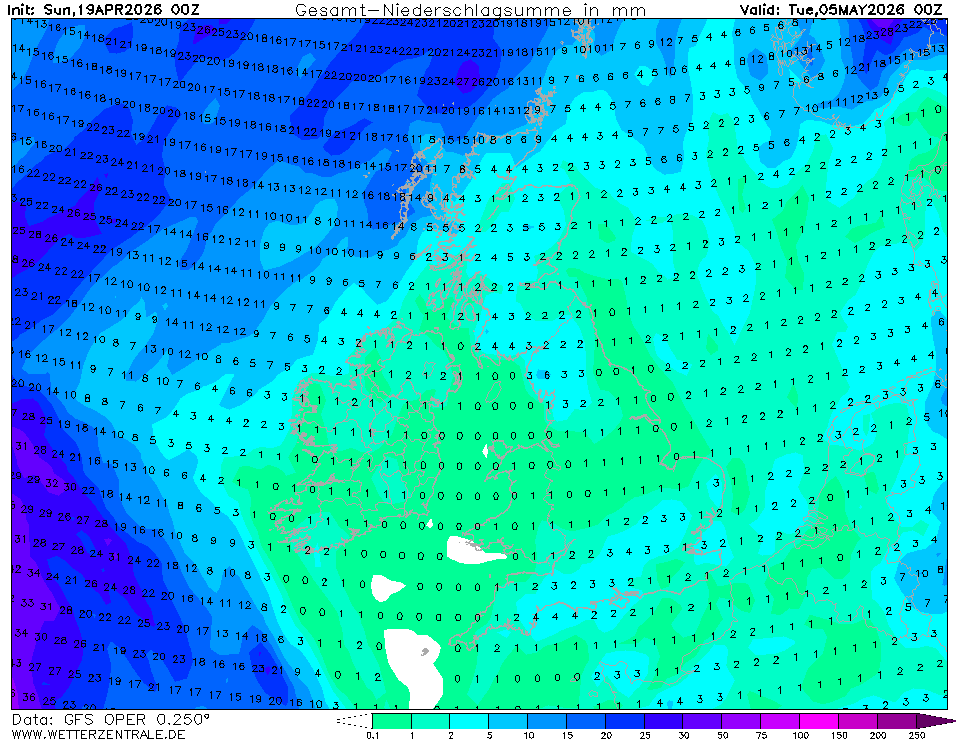
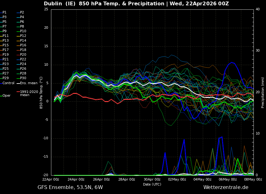
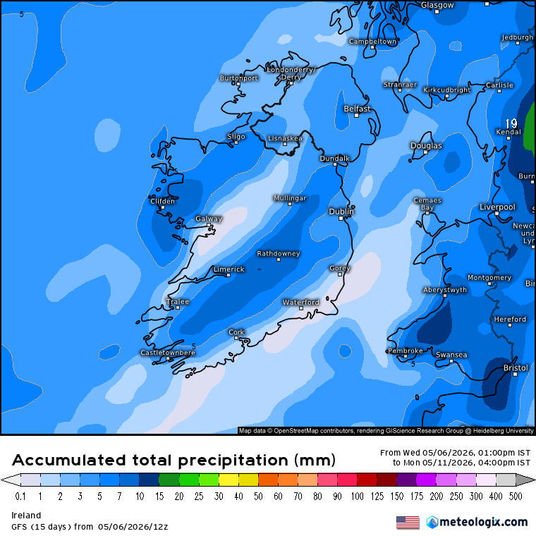
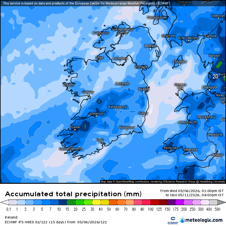
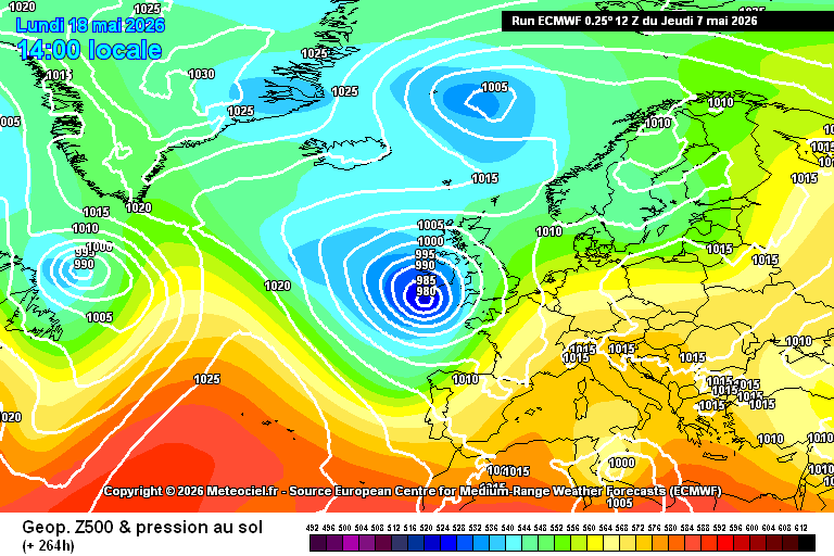
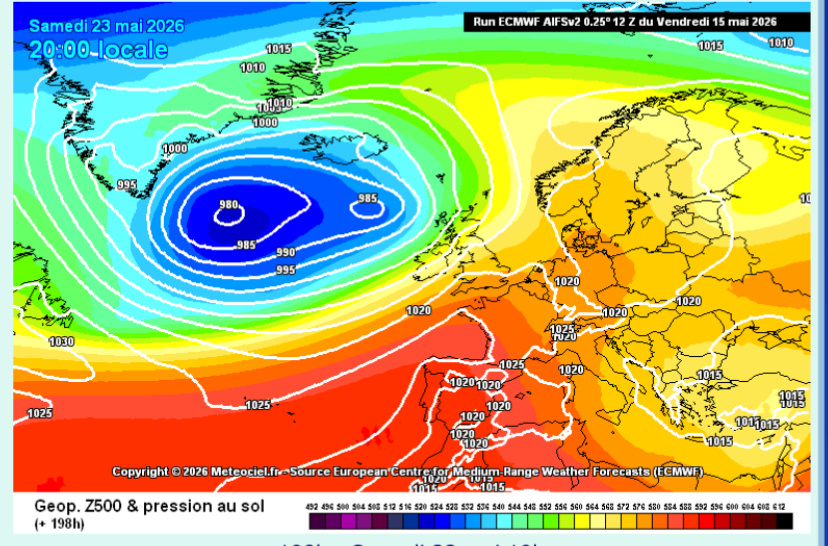
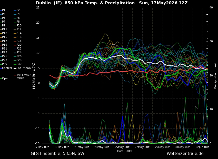
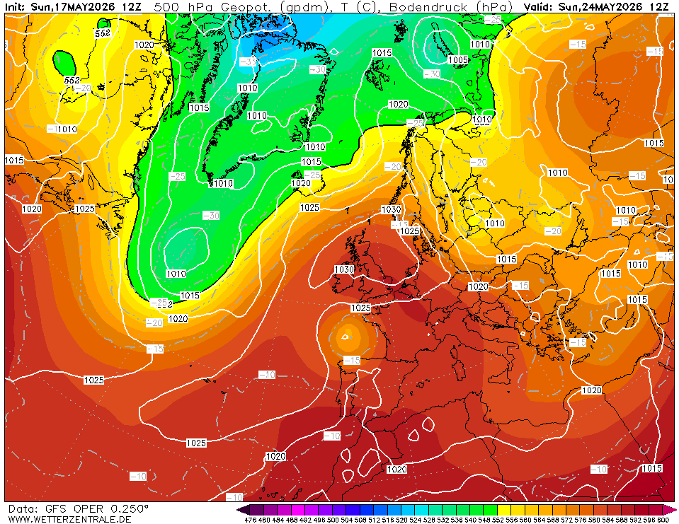
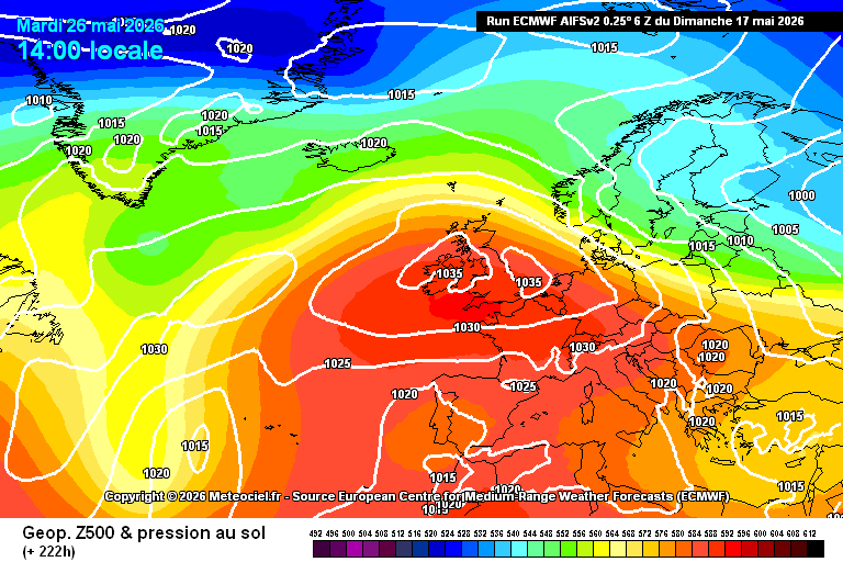
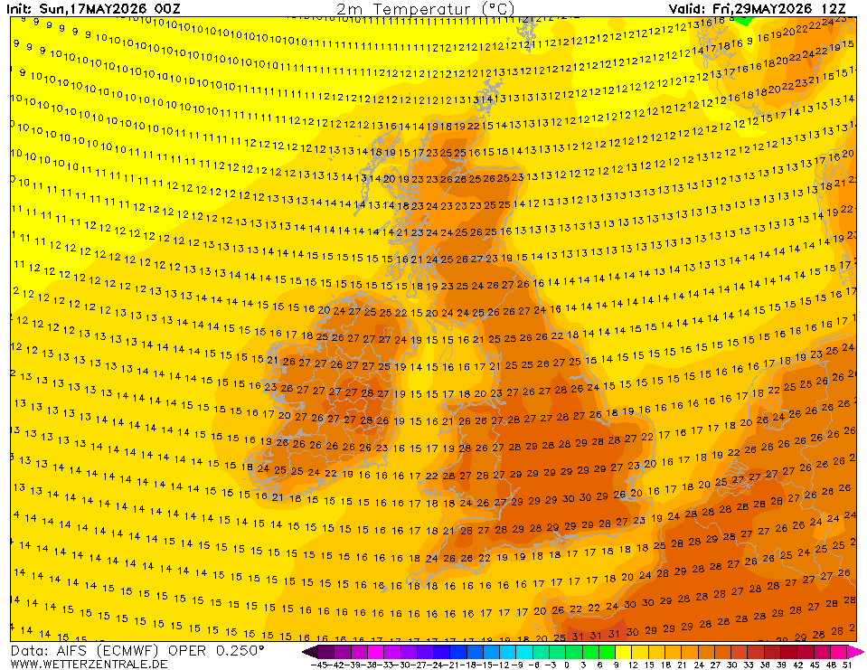
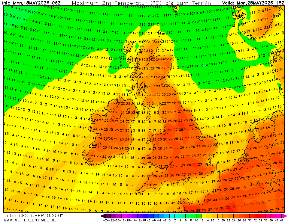
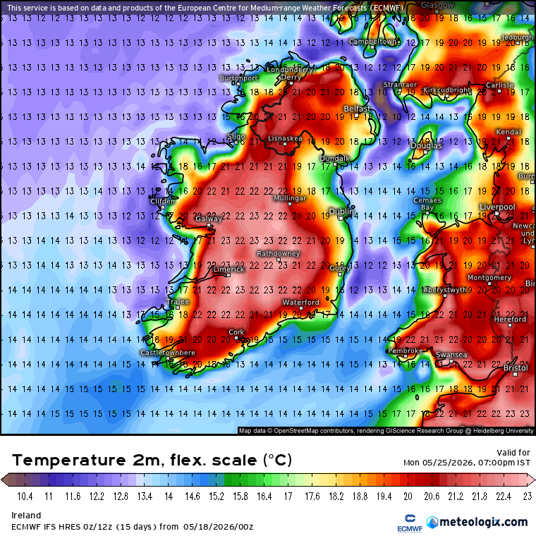
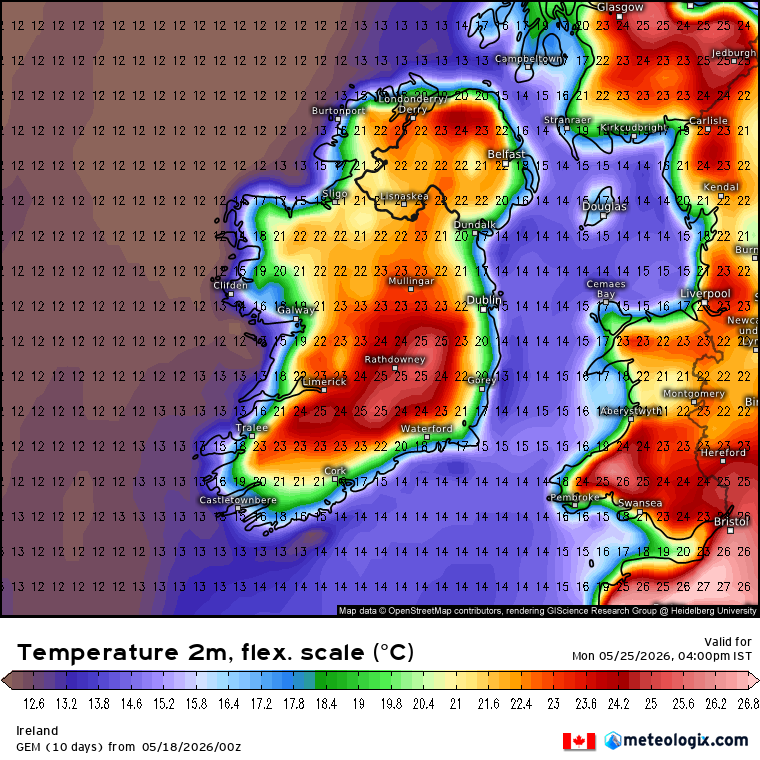
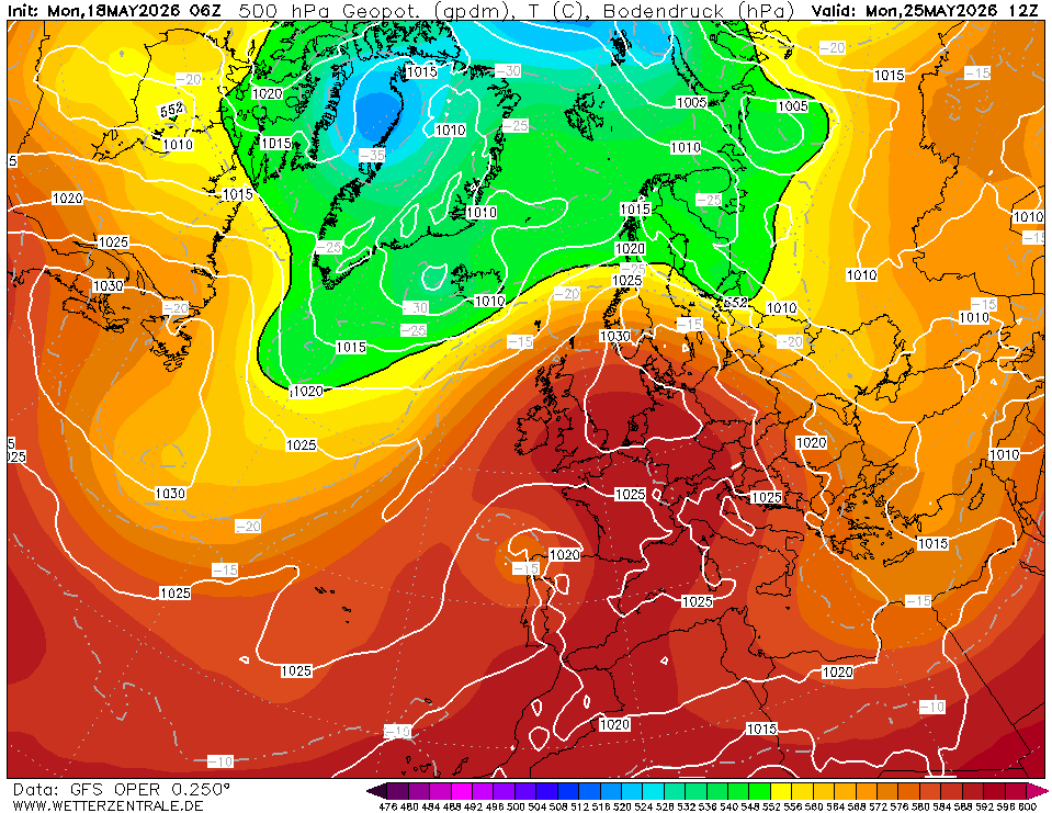
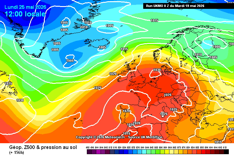
This thread is for posting/discussing/analyzing FI CHARTS ONLY i.e. Charts in the unreliable time frame, generally +T120 onward for Spring 2026.
If your post does not specifically relate to an FI chart then it doesn't belong here - Off topic posts will be moved
Thanks
----------------------------------------------------------------------------------------------------------------------
----------------------------------------------------------------------------------------------------------------------
Spring is just a few days away and FI stretches beyond the 1st week of March so I thought I may as well open the Spring thread early since most FI charts are now in Spring.
After a rotten winter there are signs that we are starting to turn the corner on the very wet pattern which dominated the majority of winter 2025/2026. The opening week of March will be unsettled at times but there are definitely signs of a dryer trend developing as we head into the second week of March.
Overall we are set to remain mild but cooler back closer to average temperatures may happen towards the end of the 1st week of March.
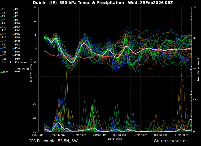
High pressure could take over as we progress into March but it remains to be seen if we can get rid of the zonal pattern for a while, but thankfully rainfall amounts do not look like the daily deluge pattern that persisted through second half of January and most of February.
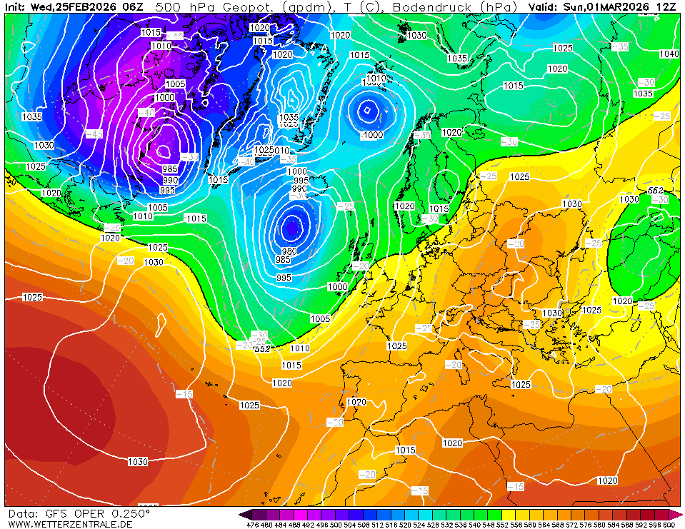
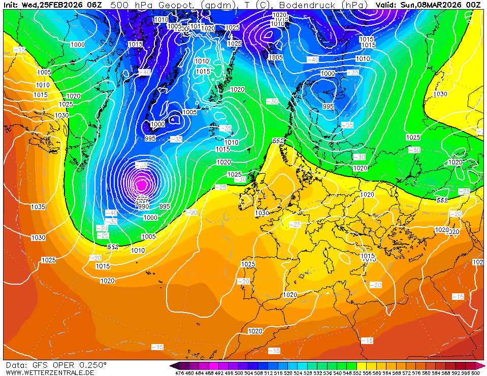
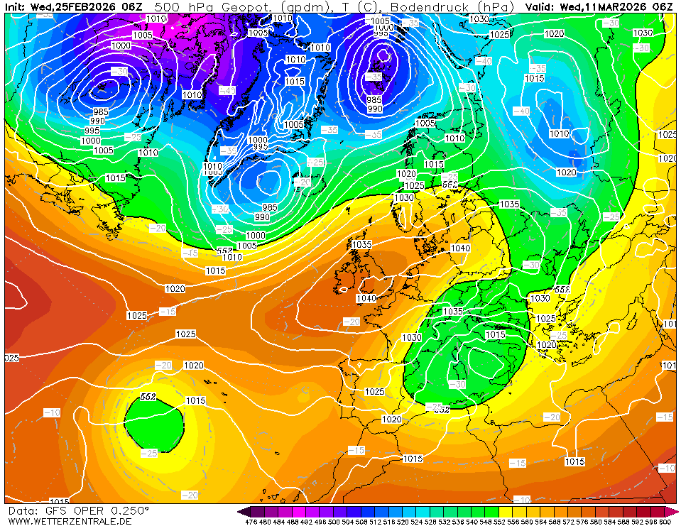
We could really do with the above verifying however with such poor model verification through winter especially from the GFS I would take the above with a pinch of salt for now.