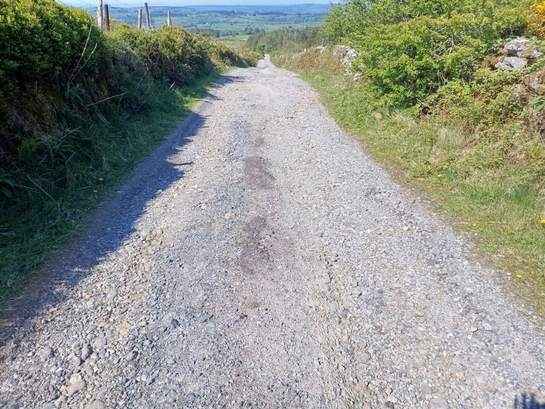
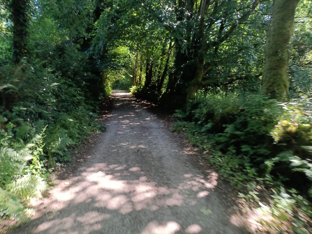
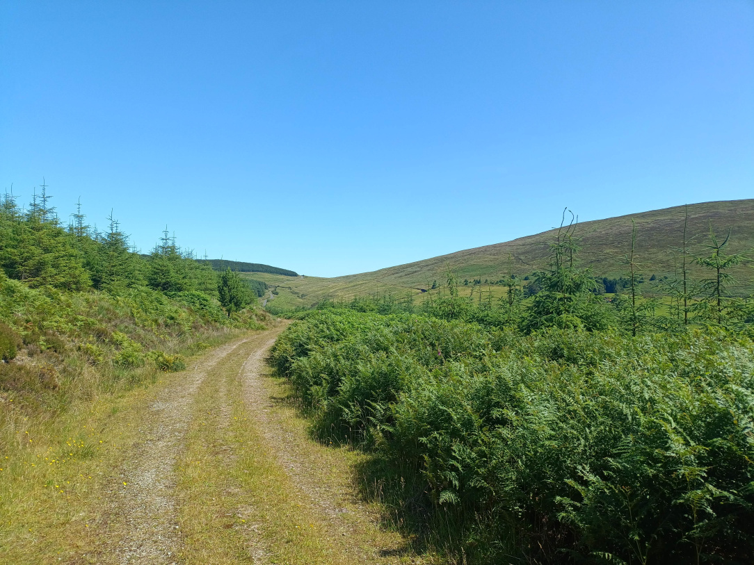
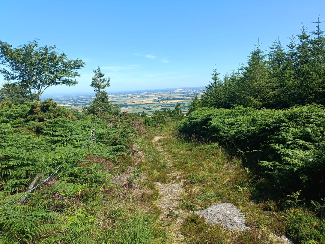
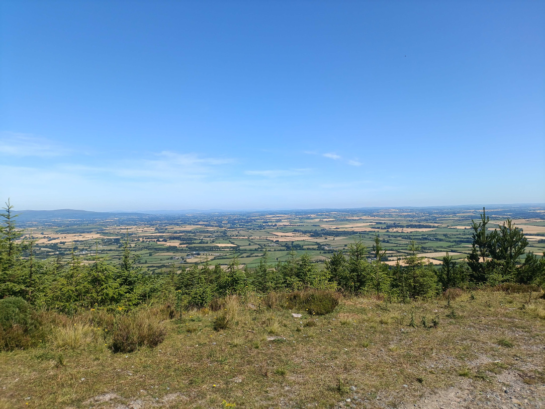
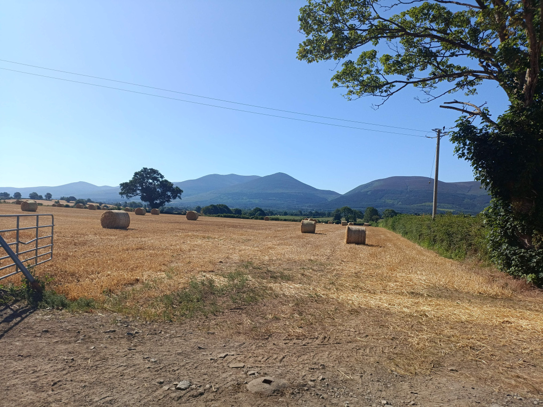
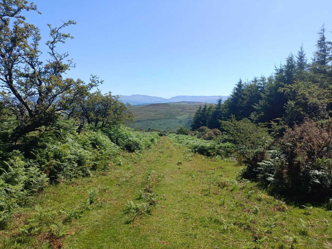
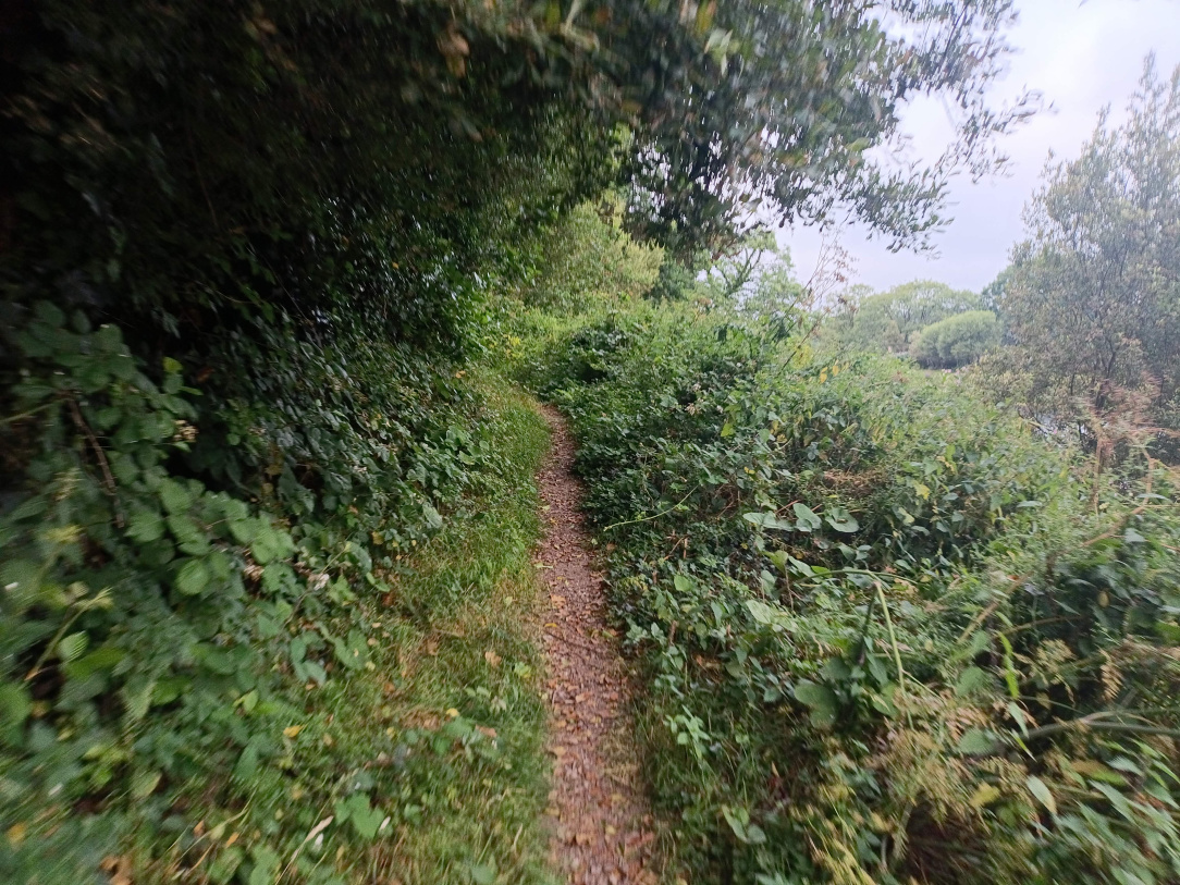
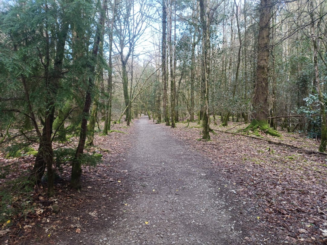
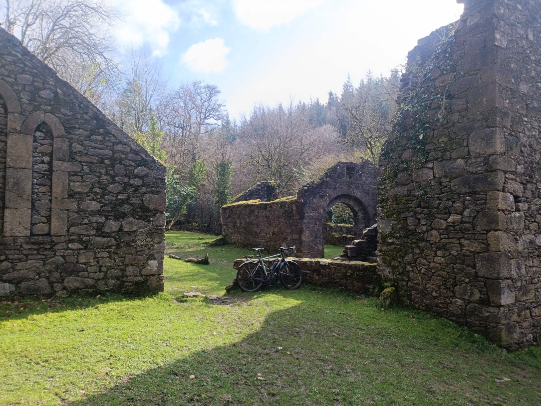
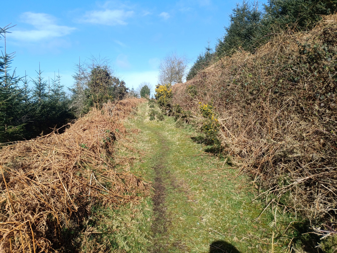
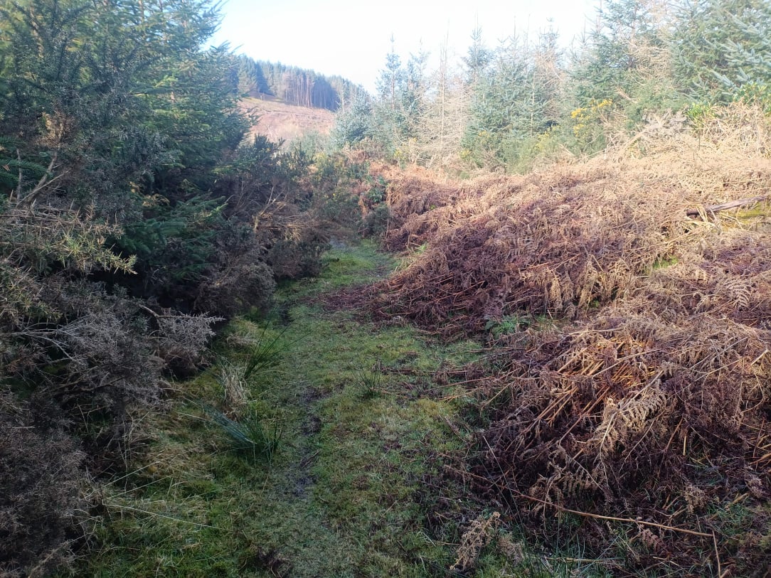
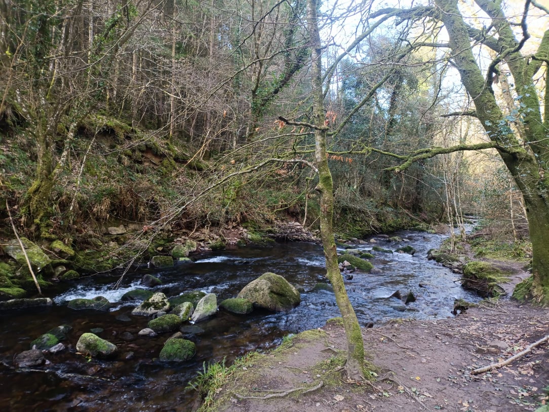
Sounds like you were in Clonkreen wind farm, the entrance is close to Edenderry Power station. Mt Lucas is to the west and the under construction Cushaling wind farm is to the east, BNM have plans for an even bigger windfarm at Ballydermot aand have given a commitment facilitate joining them with the old bog railway lines to so it won't be long before there will be a big network in West Kildre and East Offaly. Add in the canals and we'll have a lot of gravel riding in this area.
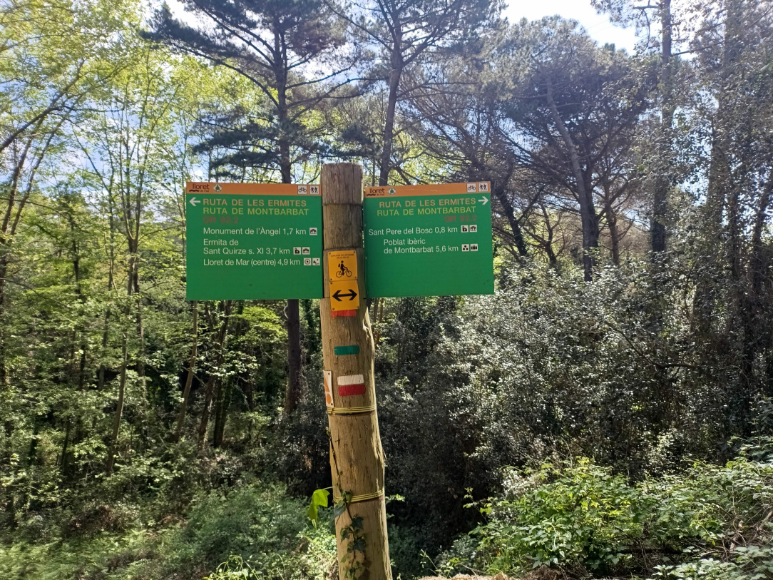
Just finished three days cycling in Catalonia, based in Lloret de Mar.
While I get Spain has a rich and varied cycling culture, Ireland is really in the halfpenny place.
It is just so easy to do here, woods and hills fully of routes, signposts everywhere, lots of challenging stuff (some more suited to MTB), public gravel access roads all the way to urban areas.
Crowd fund a 2 day tour to bring head of Coilte and Bord Failte here? Day 1 with electric bikes for them and day 2 dragged along the ground by a quad ISIS style if the message hasn't sunk in 😕.
On the Coillte topic actually I watched this last week which was interesting
If they just put gravel along the old bog railways there would be a great network of routes all over the midlands
they're certainly planning on doing that in Longford, I'd imagine BnM are doing it elsewhere as well.
That's a very big assumption
There's planning gone in to extend the Lough Boora trails, anyway, and I thought I read something about some of the trails around the Bog of Allen (or that general area)
BnM have to do stuff to justify their existence now they no longer harvest peat, and leisure seems to be their big idea.
Planning in for several trails on the old bog railways, if Ballydermot wind farm happens it would also connect to these and would leave a big network of off road cycling in West Kildare and East Offaly
https://www.offalyexpress.ie/news/local-news/1779077/bord-na-mona-seeks-consent-for-second-major-offaly-cycling-trail.html
https://www.ballydermotwindfarm.ie/wp-content/uploads/sites/17/2022/08/Ballydermot-Wind-Farm-Draft-Amenity-Map.pdf
Waterford county council's plan for a gravel network.😁
interesting development
I'm convinced that there's a massive untapped market in this country for outdoor sports. We have this reputation of a green, natural island of rugged, outdoorsy folksy types. Which as anyone who lives here know, is nonsense. But the perception is still there and the tourists keep coming. Imagine how many more we could get, especially to places like the midlands, if we properly utilised our existing landscape. Just requires a tiny bit of imagination and motivation from someone in some department.
I don't disagree, but I think in this State it has to be locally driven. Or at least perceived to be locally driven. Look at the objections to greenways that are on old rail lines in some parts of the country!
But Coillte* could be made to do more - there's a lot of dead end fire roads which wouldn't take much to create loops or better linkage between forests or forests and roads to create routes.
*they should be made a non-commercial semi state with a different remit.
The first thing Coillte need to do is just allow open access to all woods and point to the close to non existent duty of care they have towards recreational users as per the amended Occupiers Liability act. Dealing with the cost of any spurious claims or otherwise is just part of the cost of their remit; the benefit to the general population far out weighs it.
I'm often in woods with harvesting gear; there is close to no issue. It's obvious they are there and we would generally avoid not because of any risk but because the tracks make the fire roads horrible to ride.
While they are at it they would want to come up with a proper system in relation to allowing access to deer hunters. The current system is the hunters put signs on the morning telling you to stay out. Where I ride there is just too many access points that this is completely unworkable.
Each season sections of woods should be set aside for hunting and properly closed off by Coillte.
It is some Mickey Mouse system as it stands; I've twice had a rifle pointed at me in Coillte lands over 25 years; once by a poacher and once by a hunter who had paid. The latter got a bollicking after he got shirty with me.
I've a "lovely" 200km audax route with about 30km or some of Coillte tracks which I can't run as an event or permanent; although a bigger obstacle might be me having to ride a route check 😀
Definitely with you on the hunting - often come across the signs when exiting a forest when I've entered at a much less used entry point (but an entry point nonetheless). Signs where they park up is as much as they bother with.
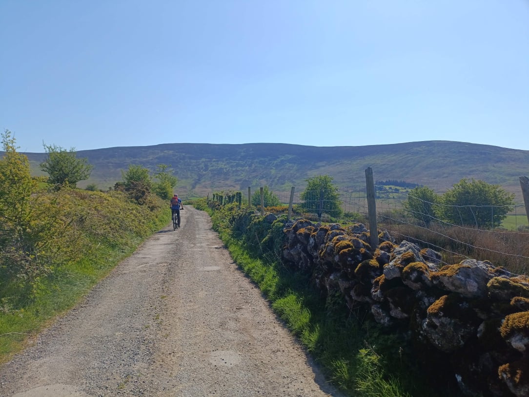
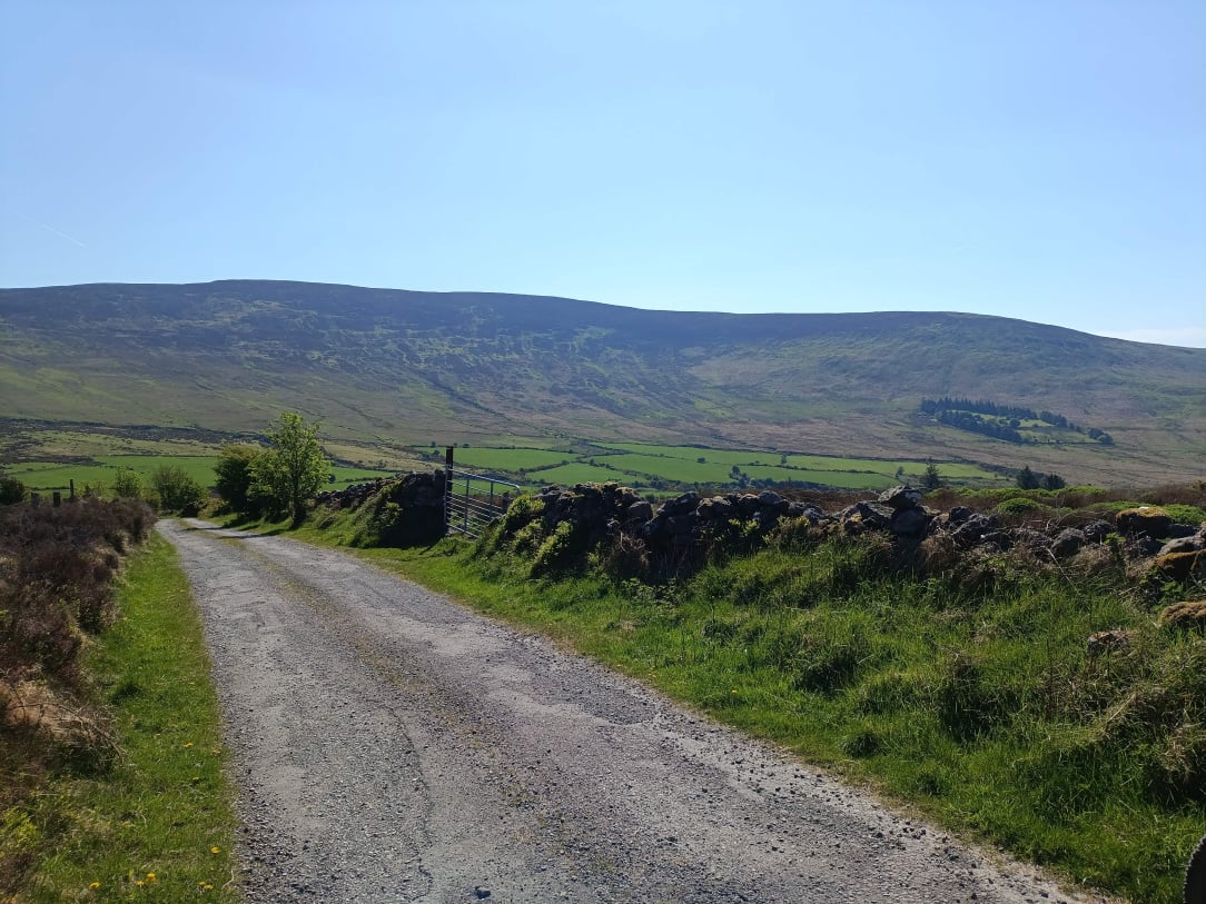
Where was I?
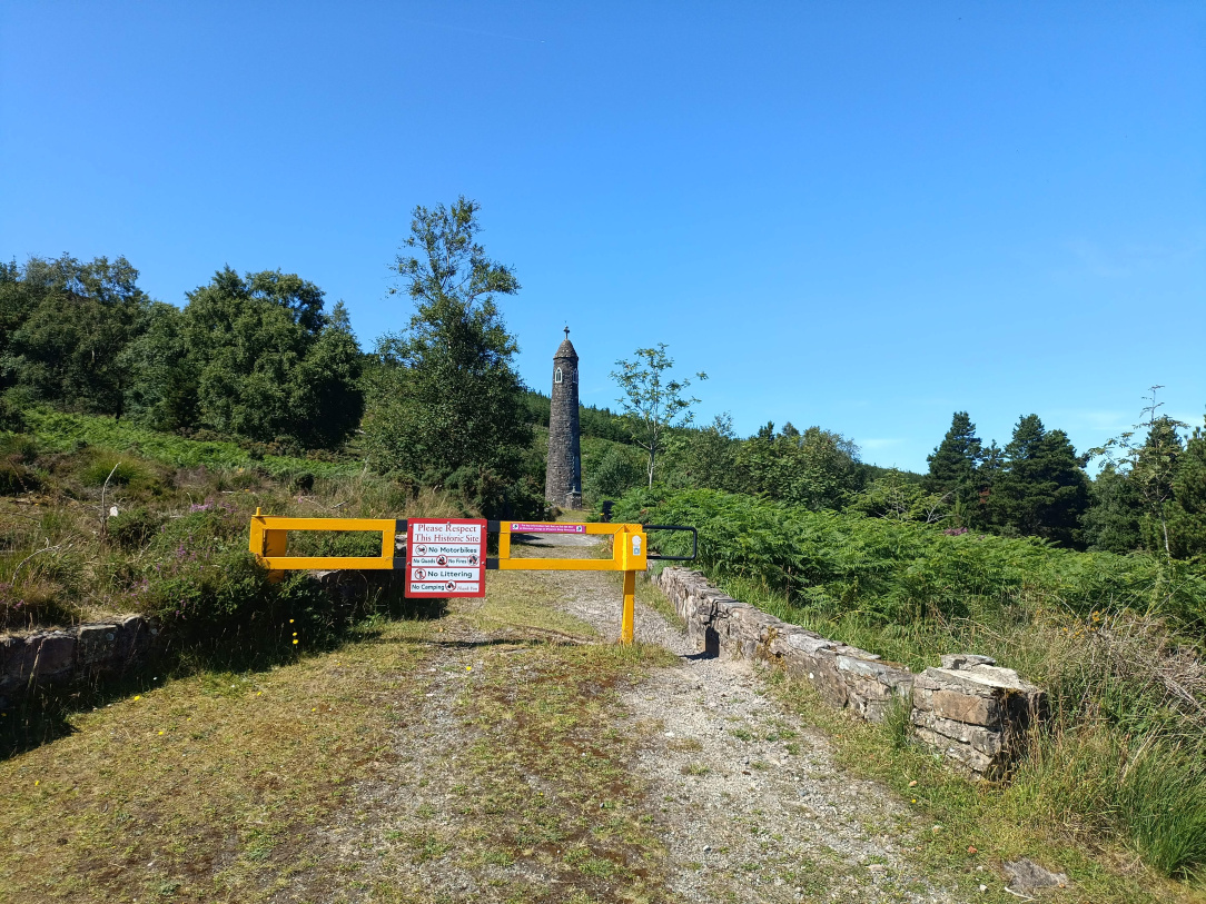
The post is a repurposed cart axle which given it's length was from a wealthy estate rather than a tenant farmer...
Where the civil war ended
https://ridewithgps.com/routes/51646050
That's as good a gravel ride as I've done; Knockmealdowns are streets ahead of any where else I've ridden in Munster for gravel options
*5 mountain passes north to south which are linked with back roads and or gravel
*River tracks out of Cappaquin
*St Declan's way
*Some lovely private but accessible gravel sectors around lismore
The road sections are really pretty to especially in South Tipp.
Some technical descending on both and a few dismounts but nothing out of the ordinary. I don't know if I'd bother with Mount Mellary farm roads again sections were like the Arenberg with a failed foundation
As an aside the official Statement Declan's way is still changing evolving.
The Gap in the Comeraghs taken from Tipperary side of Knockmealdowns
For regular riders of events what is the preference in terms of on/off road mix?
Gravel Grinder in Fermanagh seems to be up around 90% off road. If that was south of the border 90% typical Coillte woods would have me reaching for the uppers.
I like mixed off road sectors and don't mind having to lift bike over things but most other people may differ. 20% - 50% of varied off road once the roads are boreens seems to be where most of is landing.
Just helping with an event so was curious as to other peoples opinions
If I was doing an event I'd expect gates open to be honest. As for the mix, it would depend on the road - boreens v roads. I guess as little interaction with people driving as possible. The short lived grass routes gran fondo had great boreen sectors.
I've never gone back to check, but always felt Lakelander was a bit more than 10% road, and they weren't counting the tarmac to some of the carparks/ viewing points but I could be doing them dirty on that!
Close to zero cars is a given.
All gates will be open, just maybe and obstacle or two you might have to dismount for; like a river 😀
By roads I mean like this
https://maps.app.goo.gl/kuCaADsRou2Dn2Bh8
https://maps.app.goo.gl/3JYUpayWZ4mDLeoG9
90% forest would be great if it was mixed and particularly with lots of broadleaf sections
@Large bottle small glass did you name the event, or did I miss that bit.
Is this going to be an event, if so, sign me up and take my money.
I wouldn't really count them as roads tbh! Barely boreens. I wouldn't mind a river crossing - no chance of people having the option to chance it?
This is going to be fun 😁
Route looks great. I'm itching to sign up.
Free to ride any day of the week.
The only private sections are through Mellary farm and I have been trespassing there for years. No one seems to care.
All the monks are dead and farmer renting doesn't seem to mind
All the monks are dead
Remind me to never deny you land access.
They cut my hand with an cord electric fence across a gravel road.
I was back the following day with the 560xp.
"They drew first blood, not me"
just watch out for the hundreds of American Catholic coeds moving in from September and all the Dominos pizza you can eat 😉
https://www.irishexaminer.com/news/munster/arid-41807759.html