Been a quite winter for thunderstorms, lets see what the Spring brings.
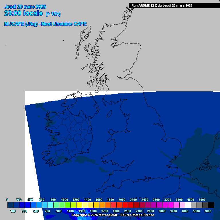
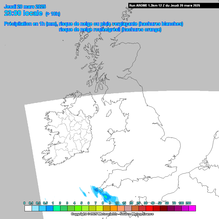
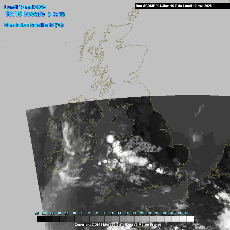
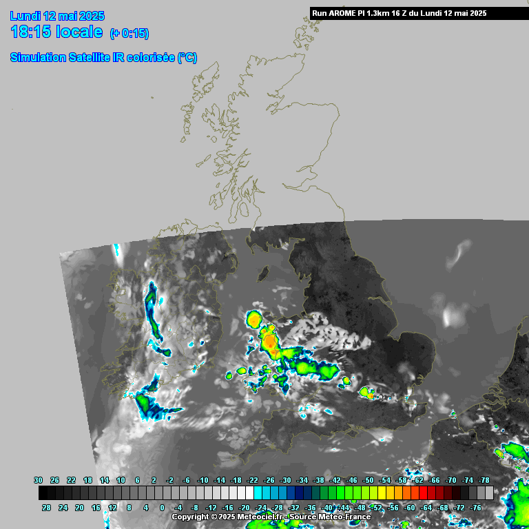
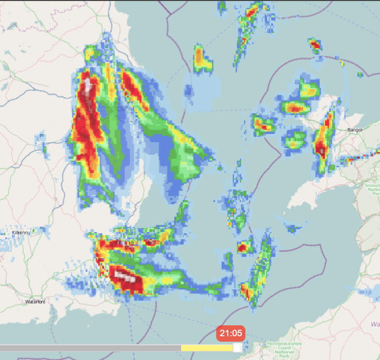
Slight chance of some heavy convective showers moving into the South in the early morning, very marginal if they could produce thunderstorms, some decent shear available, not so bad lapse rates, enough for some big showers, will have to see if they become anyway electrified. Talking of somewhere between midnight and around 04.00 or thereabouts.
Slim pickings.