Mod Note:
This thread is for posting/discussing/analyzing CHARTS in the shorter range timeframe up to T120 hours (next 5 days) for Spring 2025.
If your post does not specifically relate to a chart then it doesn't belong here - Off topic posts will be moved
Thank you.
------------------------------------------------------------------------------------------------------------------------------------------------------------------------------
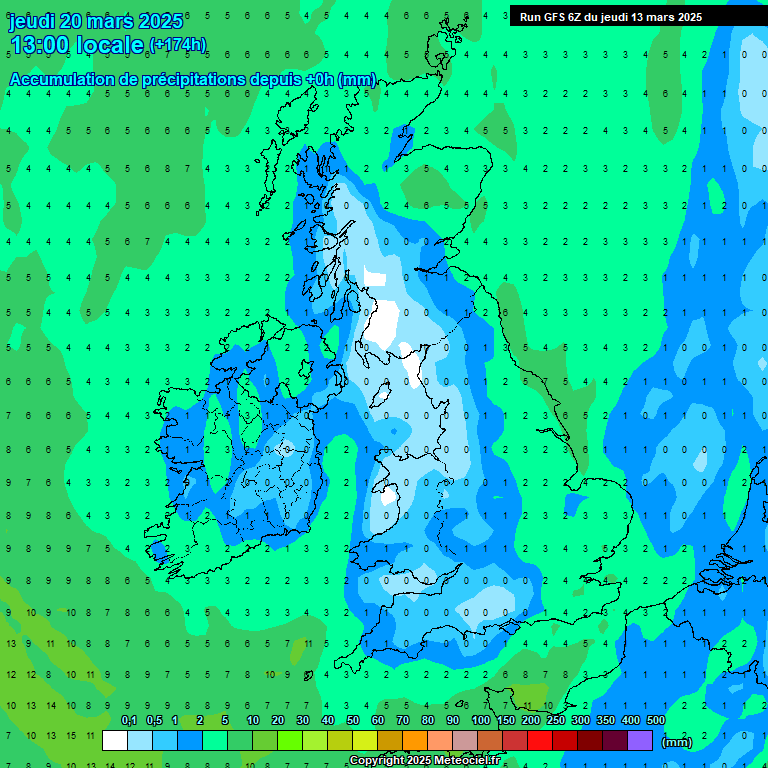
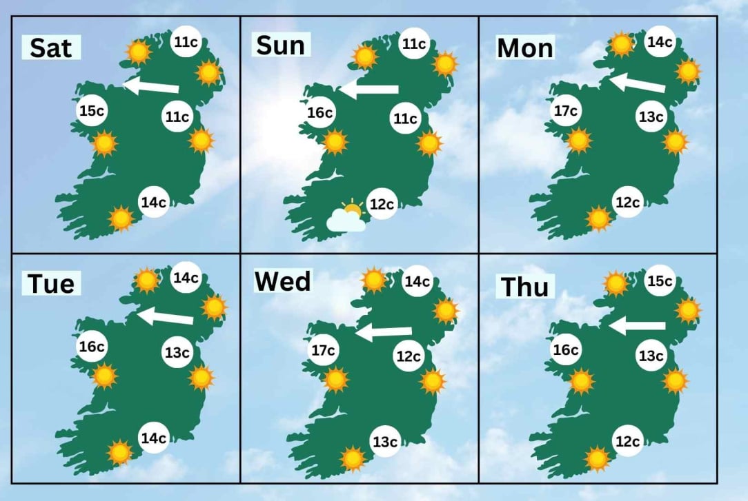
Spring is here and we begin Spring were Winter left off, in an overall mild pattern. The coming 5 days looks mostly dry and relatively mild by day at least. Good weather for getting outdoor work done and going for walks. This dry period is well needed after a few very wet weeks to dry out the saturated soils across the country.
A ridge of high pressure across the country will keep us mostly dry over the weekend with the jetsteam passing well north of us.
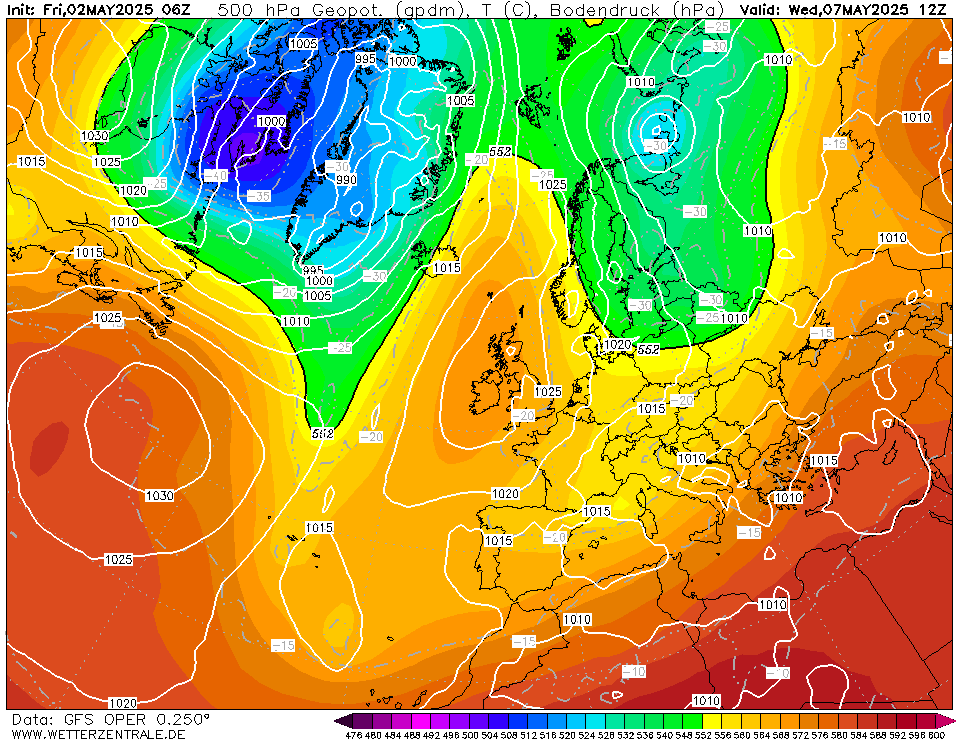
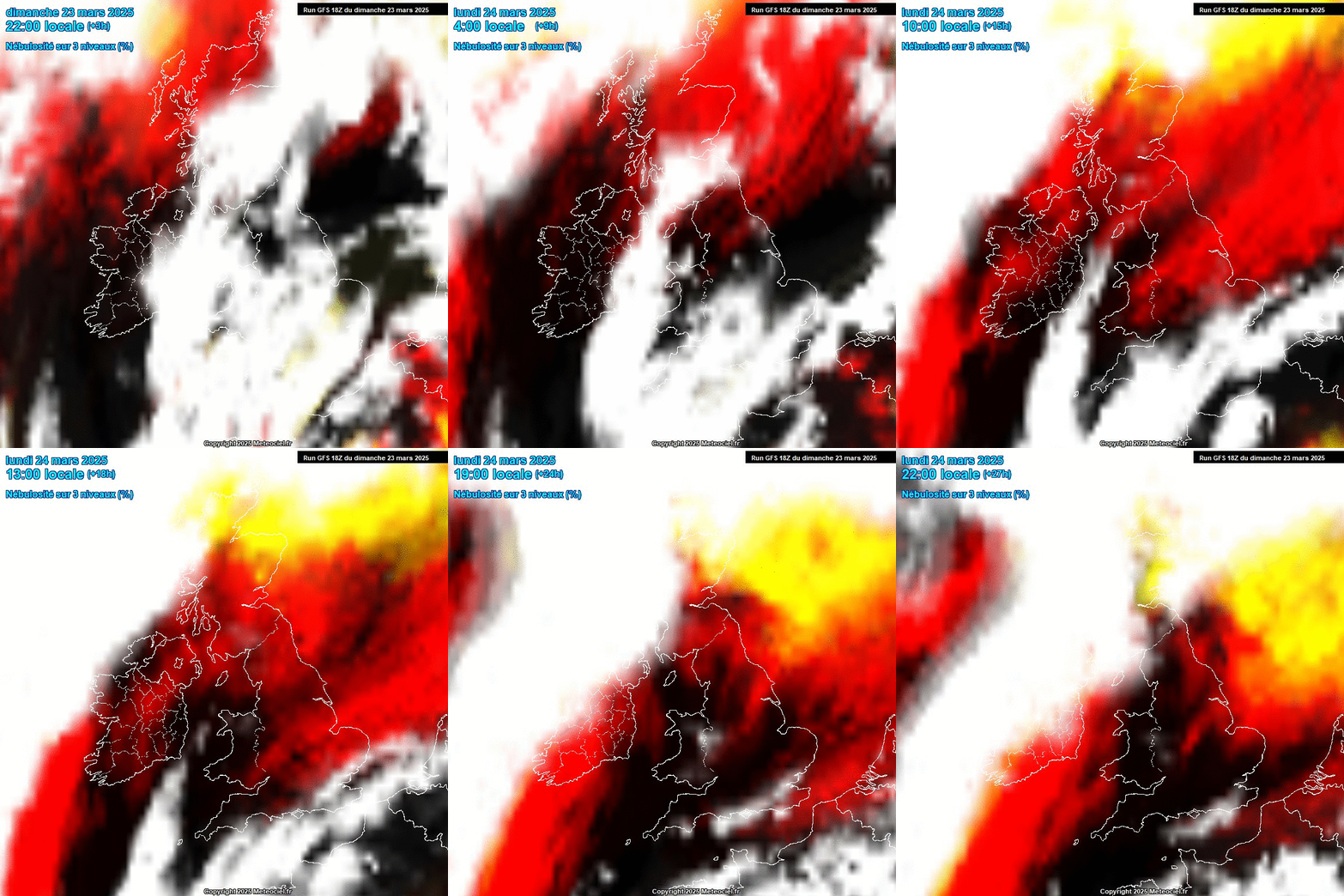
High pressure will stay close to us until at least mid week next week, keeping us mostly mild and dry. However with clearing skies a chance of a slight frost is possible at night but daytime temperatures should remain in double figures in most places and could feel very pleasant in any sunshine.

Most of the country will see little to no rainfall over the next 5/6 days away from western and north-western coastal fringes where showers could keep going but these are unlikely to make their way very far inland.

Daytime temperatures close to or in double figures by day across many places, with light winds and some sunny spells this should feel very pleasant. However with clearing skies night time frosts are possible with temperatures getting close to freezing some nights.

Overall a welcome break from the recent Atlantic onslaught with little in the way of wind and rain.