Mod Note:
This thread is for posting/discussing/analyzing FI CHARTS ONLY i.e. Charts in the unreliable time frame, generally +T120 onward for Winter 2024/2025.
If your post does not specifically relate to an FI chart then it doesn't belong here - Off topic posts will be moved
Thanks
----------------------------------------------------------------------------------------------------------------------
----------------------------------------------------------------------------------------------------------------------
Winter is finally here! The opening first 2 weeks of December appear average to mild in terms of temperatures. At the moment not much in the way of excitement in the models. We look to be mostly Atlantic dominated and mild with a chance of high pressure building at times.
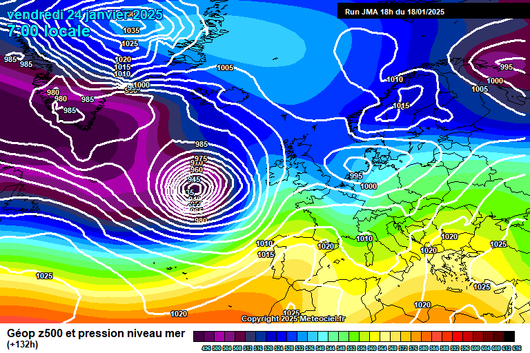
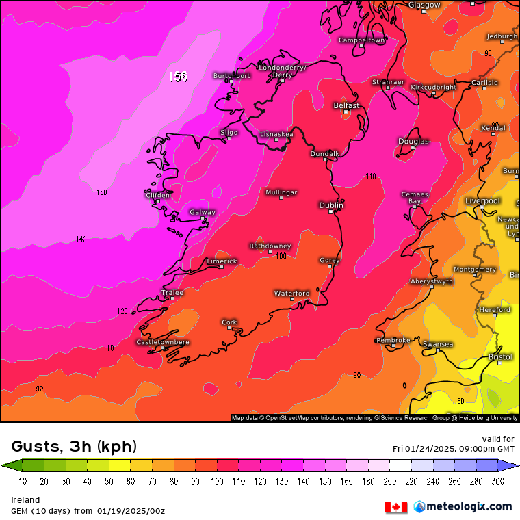
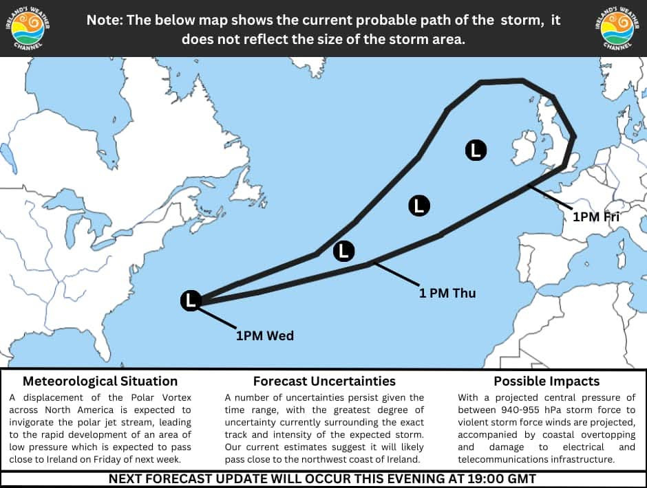
It could become fairly unsettled towards the end of next week with possibly strong winds.
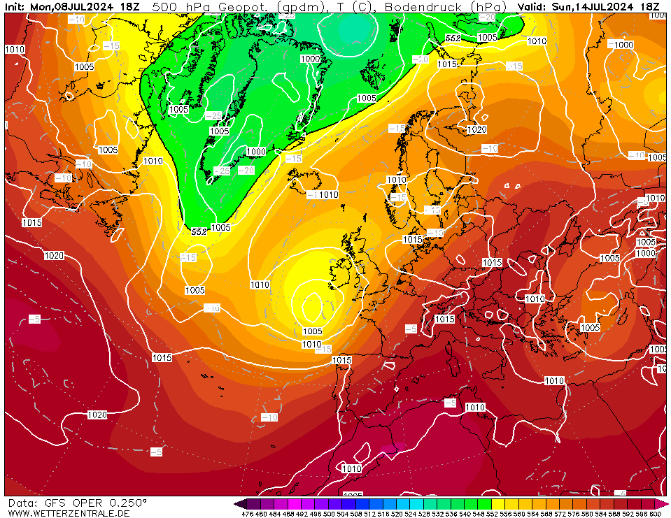
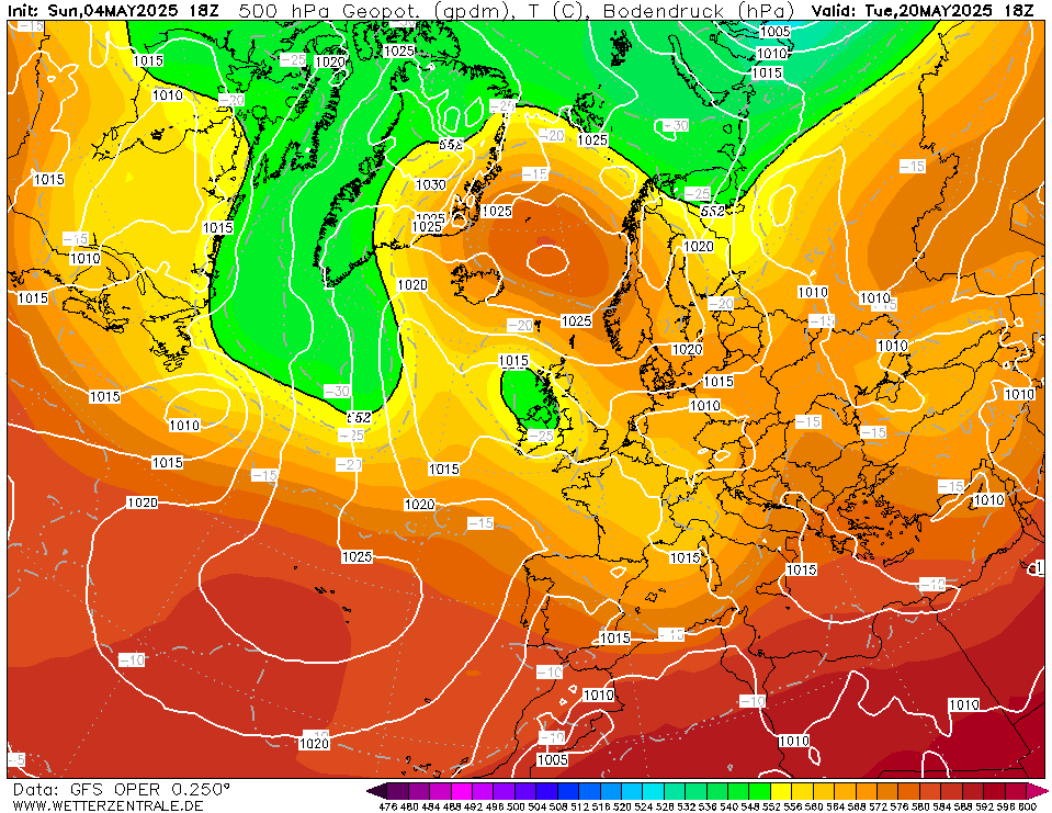
On this particular run high pressure tries to make a move towards us but never really gets there, instead we have winds coming around the high from the north-west.
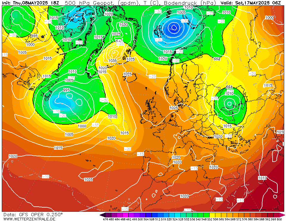
Winds turn northerly very briefly allowing much colder air to stink southwards over us for a limited time.
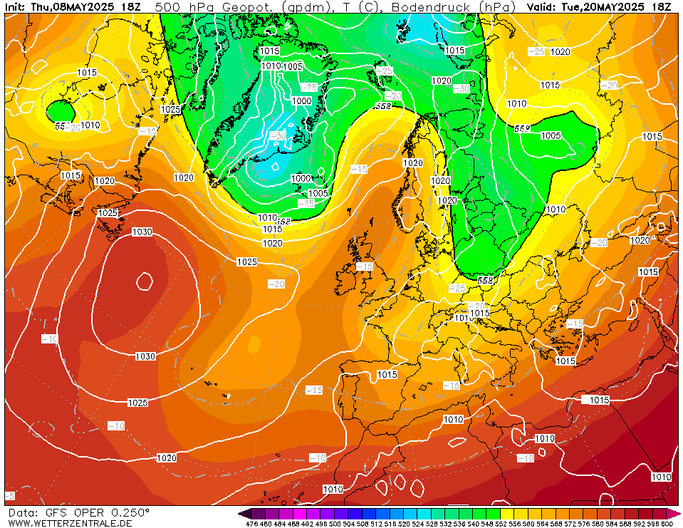
The northerly quickly gets cut off and we go back to a mildish North-westerly airflow.