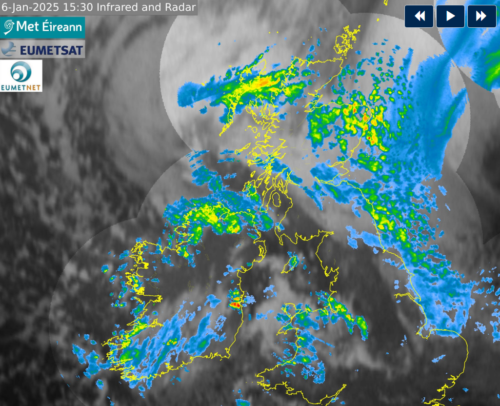
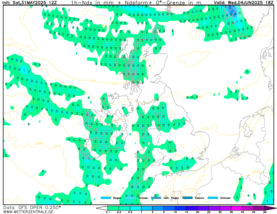
As suggested in other thread, starting new thread, to continue discussion, and reduce the issue of 'Vanilla Tremble' (…another great new Boards feature!!!).
After event, will merge threads.
Snowing heavy
December would do me just fine thank you very much!
Well let's hope not because the outlook for February is not great on the ECM Seasonal, but as you mention, just like the UKMO, the long range models don't aways get it right. In fact a good few of the seasonal models for this winter indicated any wintry weather would be more likely in February
West Kerry … sun is out finally and its as green as a spring day
Snowing again.
looks like some decent clouds up there.
Women-children?
That's pretty cool, thanks for sharing @WolfeEire. Can I ask what the numbers along the top mean?
Each of the four daily runs of the GFS model features 32 different outputs, referred to as perturbations, all of which feature a deviation of the same data being inputted to the model. In the link you can choose which parameters you wish to observe, including 2m (2m above ground) temps, air pressure and, in this case, 850hPa temperatures. The latter is the temperature at approximately 1500m above the surface. I like to use it as it is a good gauge of likely zones of cold or mild airmasses. The get the table looking like I presented, i clicked on the 'ascendant' option to give it a low to high reading of the 32 pertubations. See below. The full GFS tables are available each day at around 6pm, midnight, 6am and midday or shortly thereafter each time.
Finally, you can get a different graphical presentation of all of the above by clicking on your location here
All of the same output as provided above will be presented like the below. The red line indicates the mean/average of all the perturbations.
You've done enough waiting on this thread for that to arrive! Enjoy….
Ice pellets/hail falling in Carrick
I love and appreciate that very detailed explanation! Thank so much!
Ice pellets falling here in carrick ,very snowy looking sky
You're welcome. The more people we can get looking at this stuff and sharing their views on here the better.
And so it begins but hopefully the showers get heavier
still waiting patiently here in North Leitrim 😢
More Sneachta .. maybe tonight
"Met Éireann's Michelle Dillon has warned that Status Orange low temperature warnings could be issued for later in the week and said that "it's going to actually turn even colder".
Speaking on RTÉ's Drivetime, she said: "Tomorrow night and Wednesday night we'll have issued Orange level low temperature ice warnings. We expect temperatures to get down to minus eight degrees in places, possibly lower locally. So we'll be updating the warnings tomorrow morning."
She said that there was a "risk of snow showers right across the country" tonight."
Did someone say south coast streamer earlier………associated with the low pressure coming up on Wednesday that is avoiding Ireland, not sure if it is a streamer as such but Harmonie has it over my house (south of Cork city)!!! 🤣
You'll get some just have patience 😌
Seeing amazing reports of snow from friends in Limerick and Kilkenny. They have never seen the likes of the depths. They both took the day off to enjoy it. Both have power and water which helps.
One of them said that a load of snow fell off his roof and would have easily damaged a car if it landed on it. It was well over a foot of snow in thickness. Folks should be conscious of that risk.
If you're keeping the power and water. You're in for a treat. It's lovely to walk through a snowy field and you can create some make some great memories with the kids
WolfeEire is a pup outa MT Cranium. Fountain of knowledge, also a hoader of the snow this winter letting the east starve!
Spot the snow cloud. Reminds me of the January skies of my youth when cold weather wasn't as irregular as it has become in the last 15-20 years.
Looks likes you didn't get much of a thaw anyway. Thought we'd get more of one here but cloudy most of the afternoon and snow still on roofs of all houses.
Netweather forecast for west Dublin this evening. Any chance this could pay off?
GFS now giving widespread snow for Friday:
ouch!!! (apologies this was supposed to be in response to the gate pillar ding)
hasn't gone above 1.5c today and is currently at 0.5c. expecting a bit of a thaw in the early part of the tonight (2c) and again tomorrow afternoon (3c). That's it then until the warm up on Friday.