Mod Note
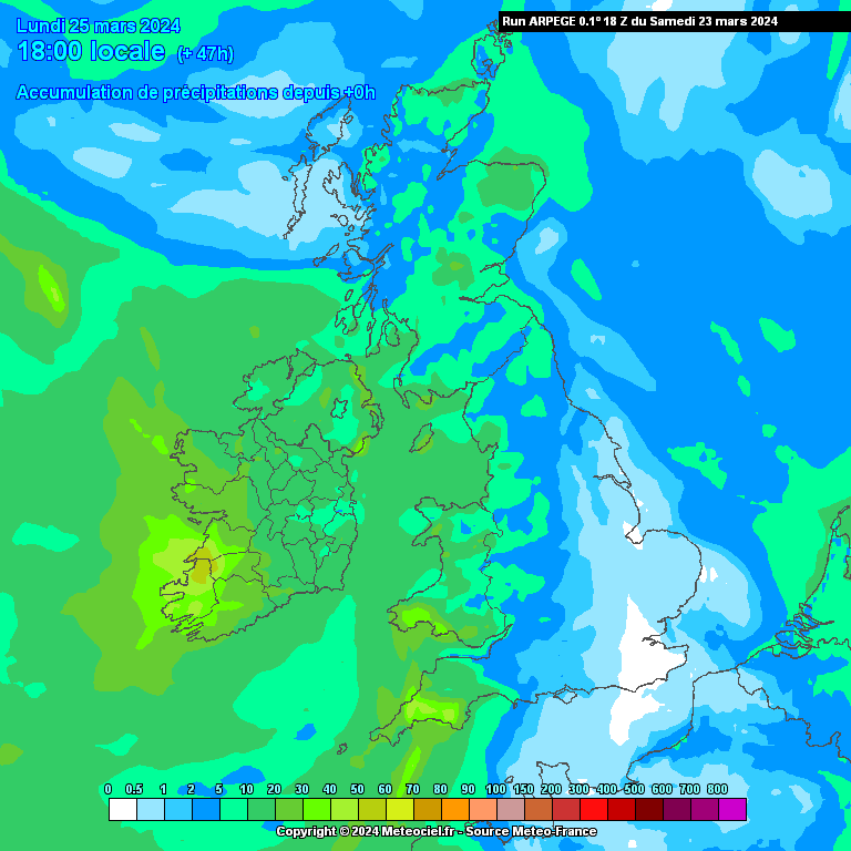
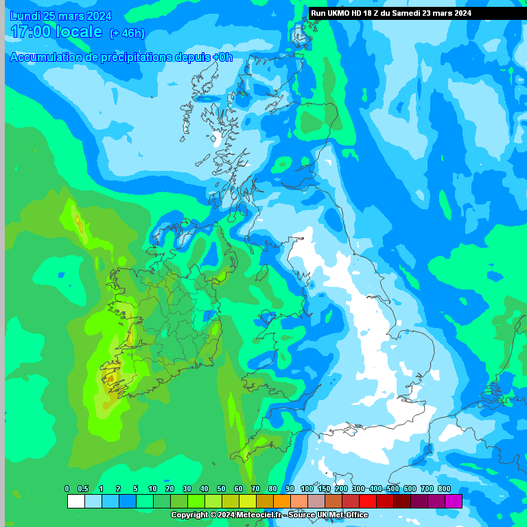
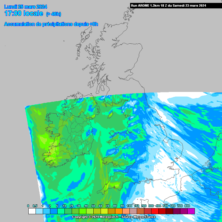
This thread is for posting/discussing/analyzing CHARTS in the shorter range timeframe up to T120 hours (next 5 days) for Spring 2024.
If your post does not specifically relate to a chart then it doesn't belong here - Off topic posts will be moved
Thanks
------------------------------------------------------------------------------------------------------------------------------------------------------------------------------
Winter if over and done with and time to focus on Spring.
After a mostly very mild, wet and windy winter Spring will begin on a chilly note with a showery north-westerly flow over the coming few days. Cold rain showers likely in many areas which may be wintry on Friday 1st of March, snow mostly over high ground and any accumulations will be very temporary over low lying areas. Showers mostly of cold rain from Saturday.


Temperatures generally 3 to 6C on Friday afternoon.
Over the coming few nights frost can be expected in places with temperatures getting down as low as -2 or -3 in places. daytime temperatures this weekend in mid single digits generally and feeling very raw at times. A big change on what we have experienced over the past month or more.
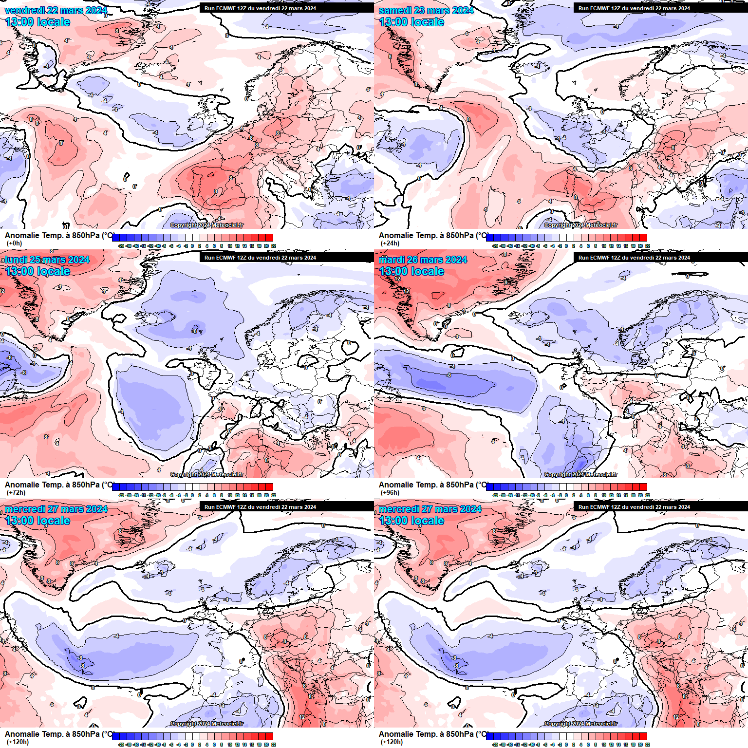
Next week temperatures will slowly start to recover back to more average values but still may be slightly below average in places.
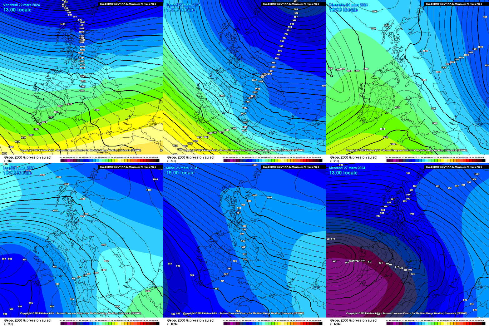
It will remain unsettled with low pressure around Ireland much of the time delivering bands of rain or showers.
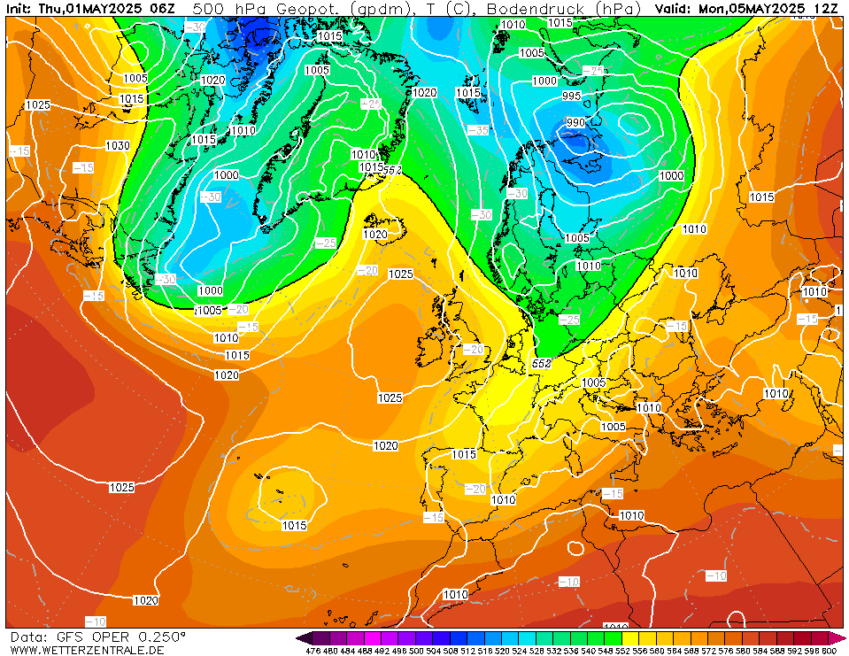
From Wednesday it will become milder with winds up from the south or south-east. Temperatures getting back towards double figures from Wednesday onwards.
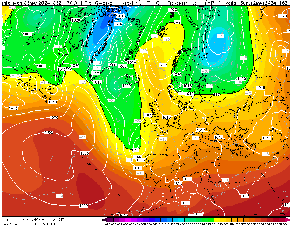
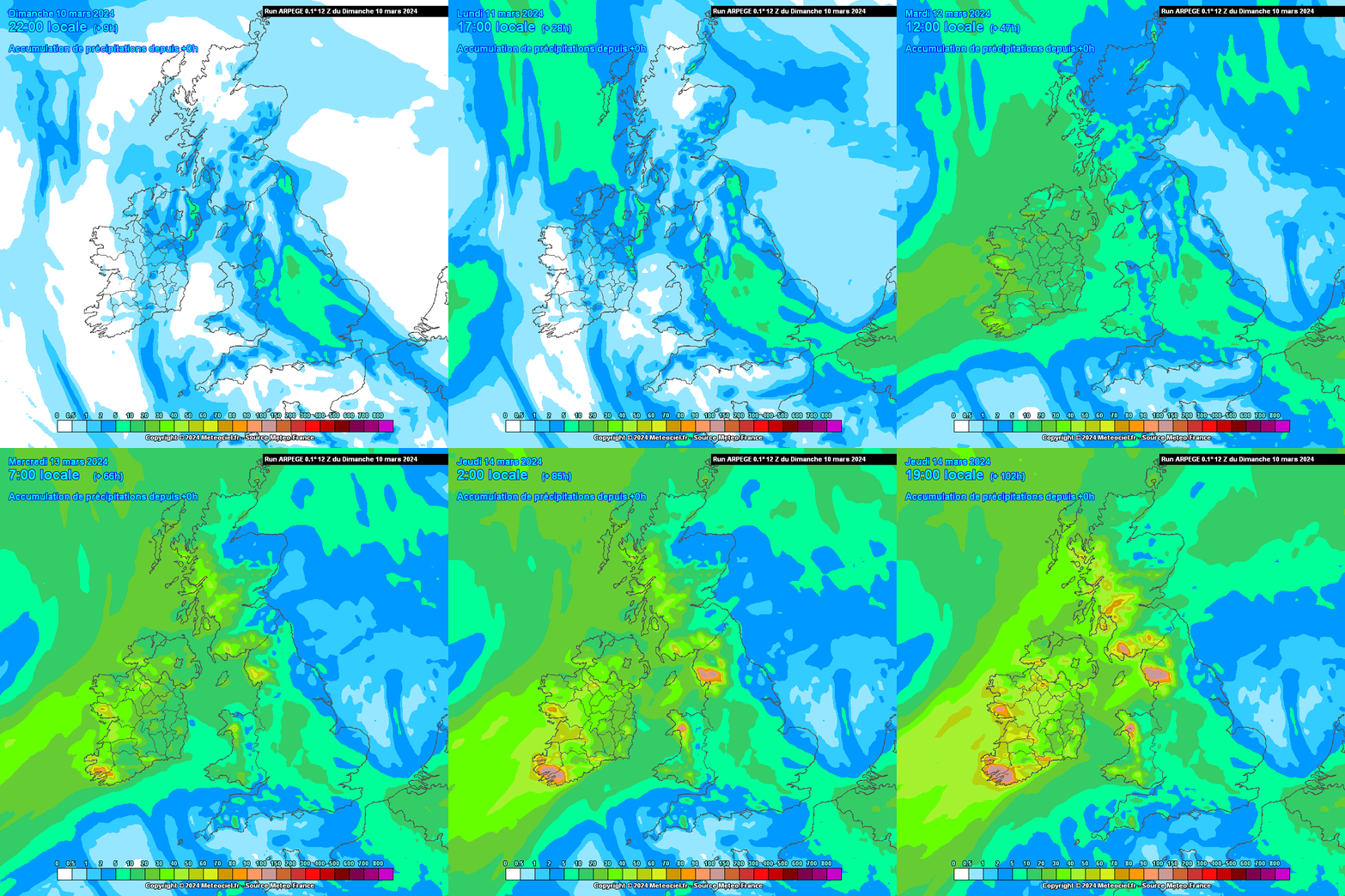
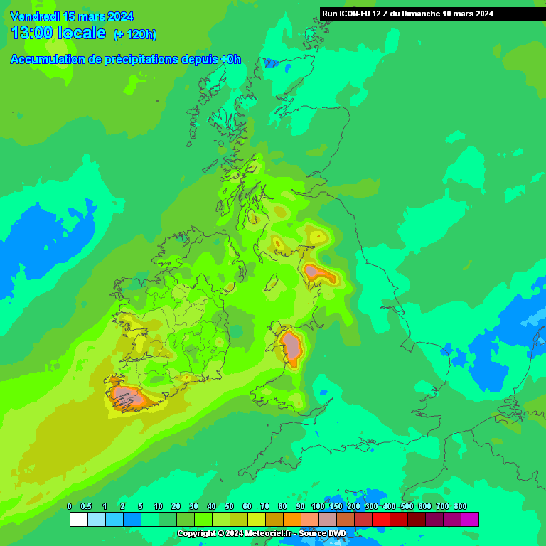
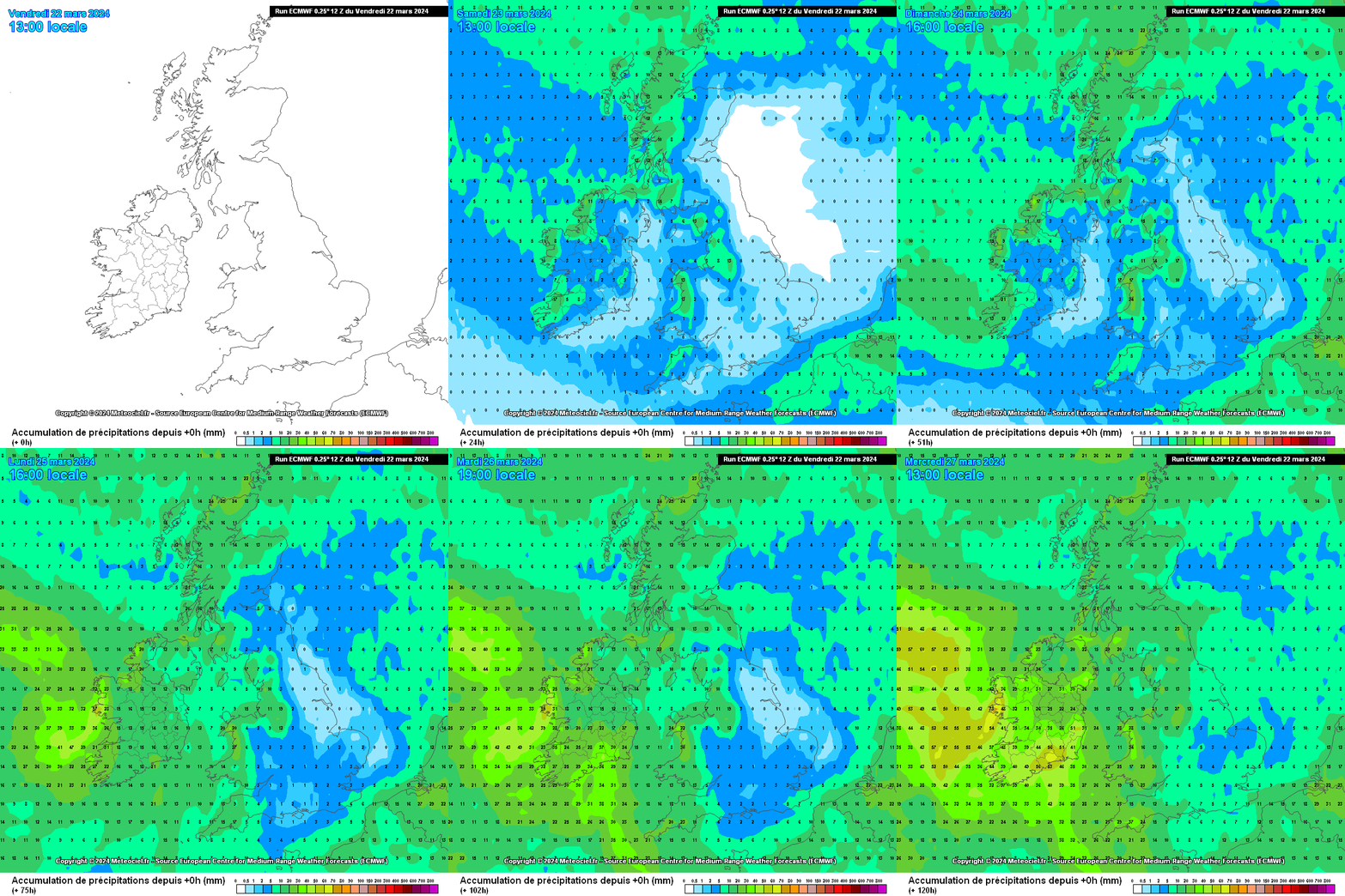
Average amounts of rainfall over the coming week but above average rainfall in western areas.








![Photo of [Deleted User]](https://wb.vanillicon.com/v2/b78264a0e13e5e3a27935691920a2390.svg)