Another very wet, windy and extremely mild winter has passed and it's time to move on and focus on Spring 2024.
------------------------------------------------------------------------
Mod Note:
This thread is for posting/discussing/analyzing FI CHARTS ONLY i.e. Charts in the unreliable time frame, generally +T120 onward for Spring 2024.
If your post does not specifically relate to an FI chart then it doesn't belong here - Off topic posts will be moved
Thanks
----------------------------------------------------------------------------------------------------------------------
----------------------------------------------------------------------------------------------------------------------
March looks like it will start off on a chilly note with wintry precipitation on Thursday night and into Friday which could deliver the first flakes since Spring 2023 for eastern and some central parts of the country. Lying snow is possible to low levels but this will be very transitional and short lived.

We remain unsettled and cool into the first week of March with plenty of cold rain and daytime temperatures generally in the high single digits.
After next weekend we go into the unreliable time frame. The GFS 6z is playing around with an easterly of sorts and depending on exact wind direction this could be rather mild if there is a south-east source to the easterly or cool if it's a direct easterly. We may get a bit of a recovery in the temperatures by this point to more average values rather than slightly cooler than average.
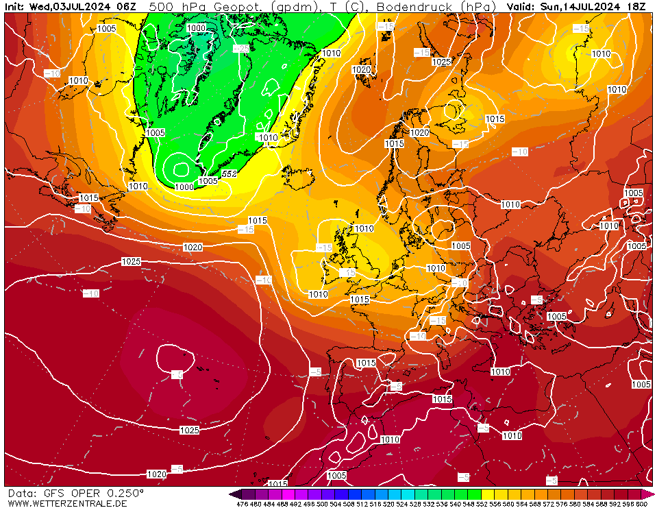
We're getting to that time of year where easterlies need to be direct hit and sourced from the north-east to pull in any real cold and this seems unlikely.
We finish up with winds still in from the east but sourced from a warmer south-eastern parts of Europe so no cold air associated with this easterly.
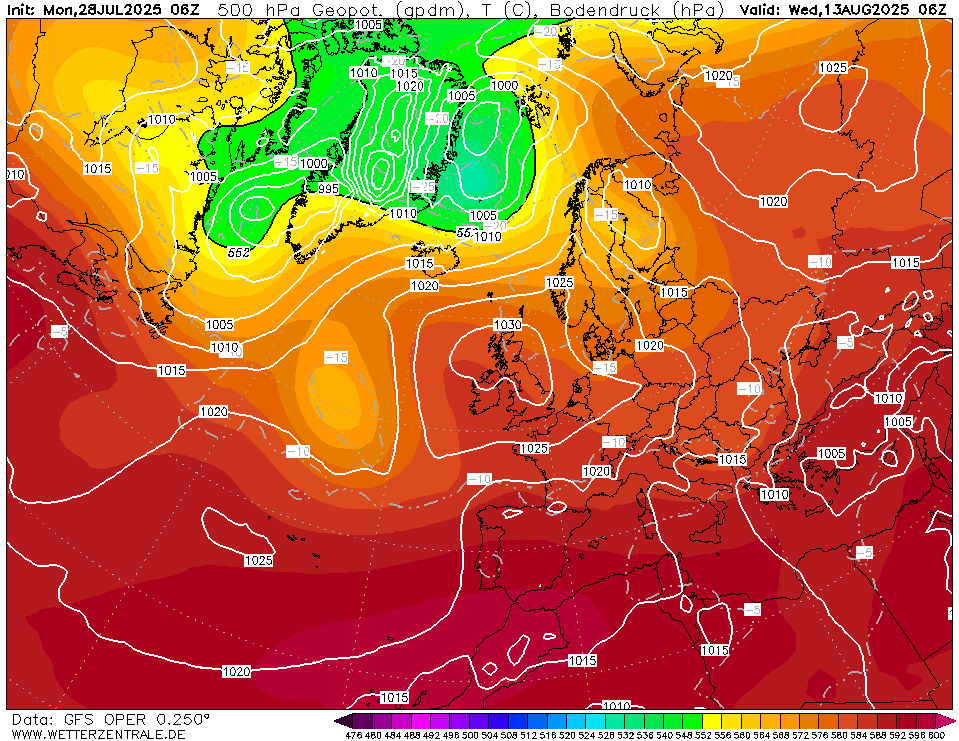
Overall the coming 2 weeks look fairly wet with large rainfall totals possible in western areas.