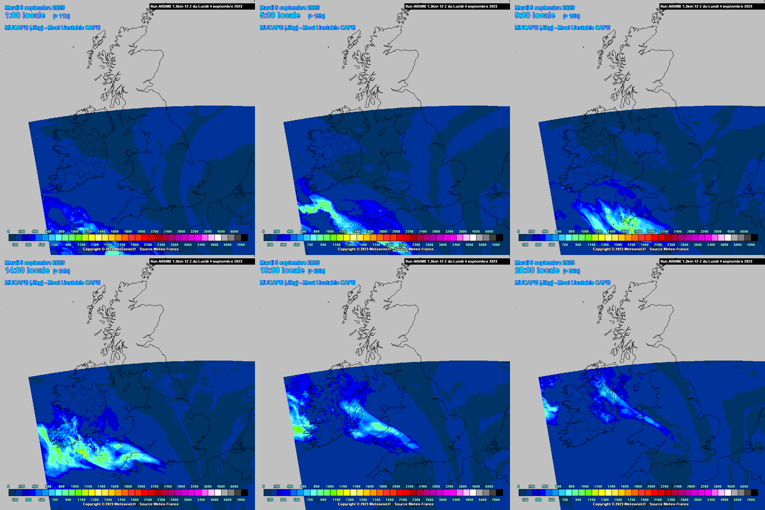
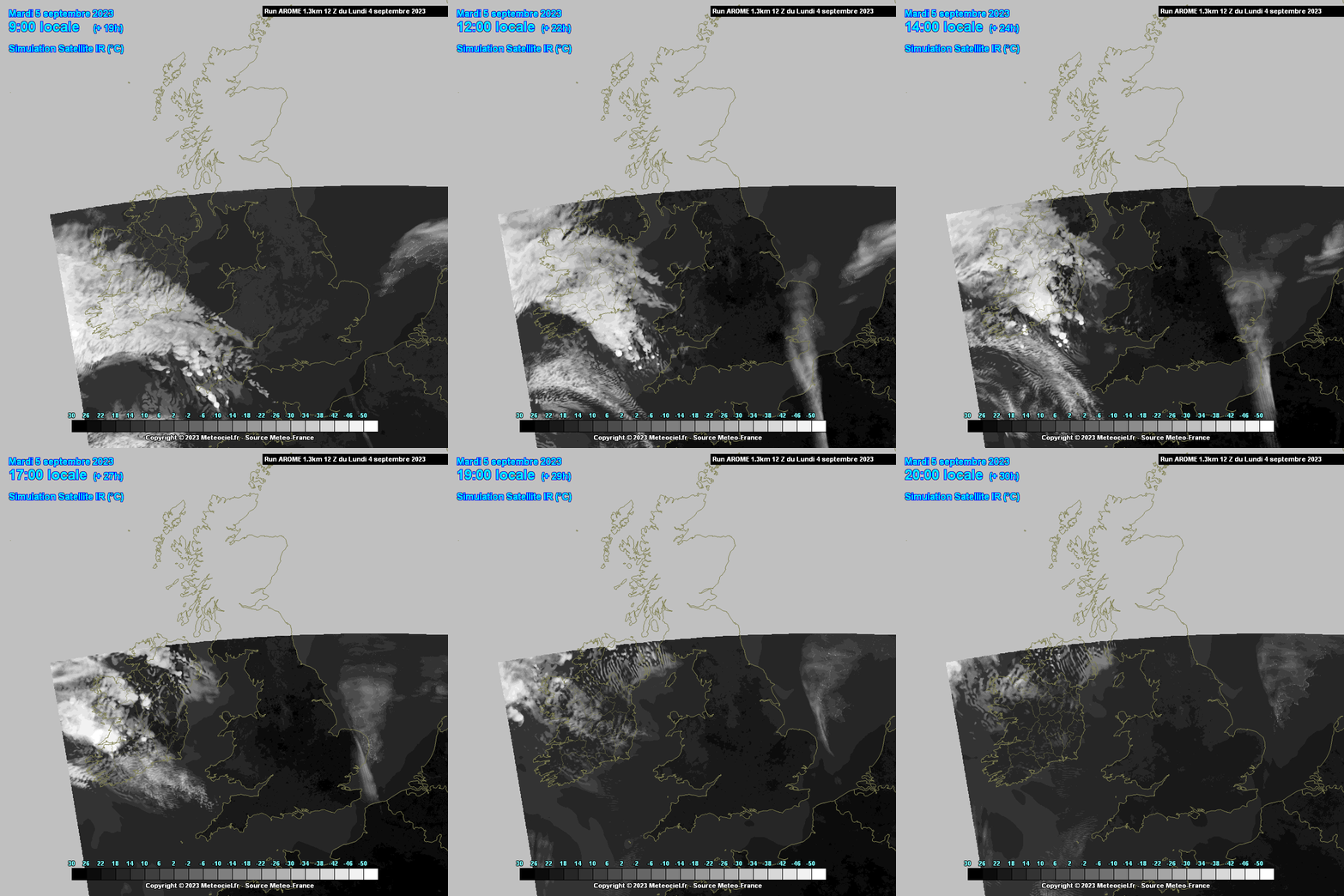
Warm tongue of Theta W and high Theta E readings moving over the SW into tomorrow and possibly the Western fringes, all associated with a trough and decaying front linked to the Lp centered well to the SW .
As the LP goes through its axis there are indications of decent LLS and DLS in abundance along with coastal convergence ( nice spot off the Dingle Peninsula) and afternoon heat with Dp's getting above the mid teens. Orographic lift over Cork and Kerry could possibly aid lift also firing off a few thunderstorms. A good chance of funnels too I would have thought.
K index good for the SW also. If they fire off could see a warning appear quickly, very hit and miss, one place could have very heavy localised rain from a thunderstorm and a few km's away bone dry.