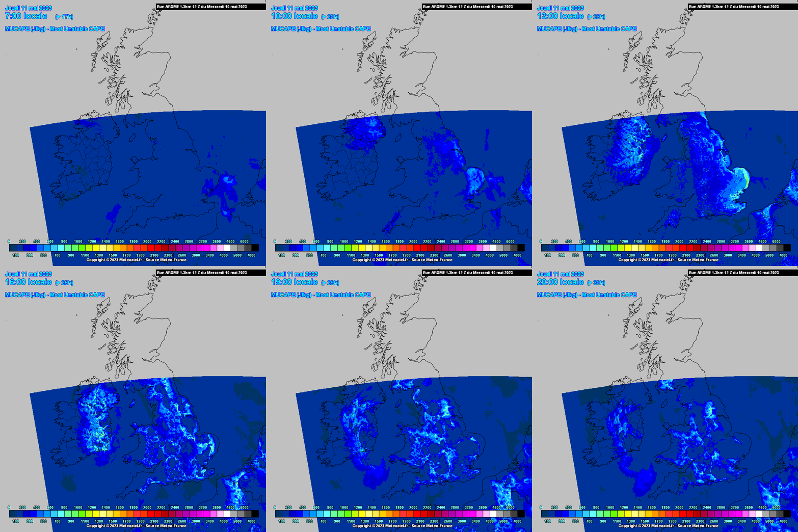
A new thread for Spring as there is a chance a few thunderstorms today and tomorrow.
Thank you
Yup
Is their a summer thread
Record of the sferics recorded on the ATD last Thursday. Noted from others posting that a lot of sferics didnt show up on the lightning maps possibly because there was a lot of inter cloud or cloud to air lightning.
Oh wow that's crazy, and yes mad the amount of funnel clouds where spotted in UK over the last 3 days
This house in Blessington took some wallop. Probably between 14.15 and 14.50
Sferics not detected in Lacken but some strong positive cloud to ground picked up at the other side of Blessington, a few CG's in a small area actually, where the strikes show up o the maps is not always accurate but would be fairly close maybe within a couple of hundred meters I think. Very possible strike just not detected, high percentage not picked up.
Seen that, some great examples and a good video below of a possible weak tornado.
A few funnels spotted today in UK, maybe that was 1 in Dublin earlier
Met Eireann's Status Yellow warning for thunder has been reduced to 4 counties
Kildare, Wicklow and Carlow until 1800 and Wexford until 1900.
Warinings for north eastern Leinster counties have been cancelled.
Near constant thunder & lightning here in South Kildare for the last 30 minutes or so, very few strikes being picked up on blitzortung.org though.
There's no hook echoes on that so I don't think it is a funnel
Strong flashes of lightning in Kildare and the power went for a bit
A rash of recent strikes through Kildare, Wicklow and Wexford.
My brother sent to me. And you are porb right, @highdef Thanks
If it's looking north from your location, it's probably the incinerator plant in the Ringsend area of east Dublin.
Tornado/funnel cloud? The view from Dún Laoghaire looking north two minutes ago.
Heard a rumble in Dublin 4, belting rain.
Thunder in Waterford
Ah balls waterford missed on the warnings. Pretty muggy here today with black clouds gathering
Flash and a roll in D24. Thunder alley these days!
Just heard a roll of thunder, north Drogheda (12.15pm)
The view looking NW of Dublin at 12:05
Looks like 3-5 for Dublin the most likely then a bit later possibly the business end in Wexford, bleeding into Waterford, at 6 or so.
Thanks for the update
How likely is it for dublin to see a possible thunderstorm today?
From Convective Weather
Longwave upper trough, negatively tilted, upper low with very cold pool of air moving down over the E and SE during peak diurnal heating, Jet over the SW, some DLS over the SE, low level convergence, shortwave showery troughs, sunny spells between the showers, levels of upper vorticity all giving decent lapse rates, temps much down on previous days so lacking surface CAPE but still enough perhaps in the mid levels to produce some thunderstorms mainly in the SE quadrant of the country and perhaps taking in parts of Dublin Limerick and Cork. Probably short lived pulse like storms if they get going, one or two might travel a bit.. Heavy showers, hail possible I would reckon. Temps getting up to 14 /15C , maybe 16C in the far SE.
A few recent strikes off the coast of Mayo and Antrim.
Thunder warning issued for Armagh, Antrim, Down, Fermanagh and Tyrone. Everywhere South of a line roughly from Castlederg to Belfast.