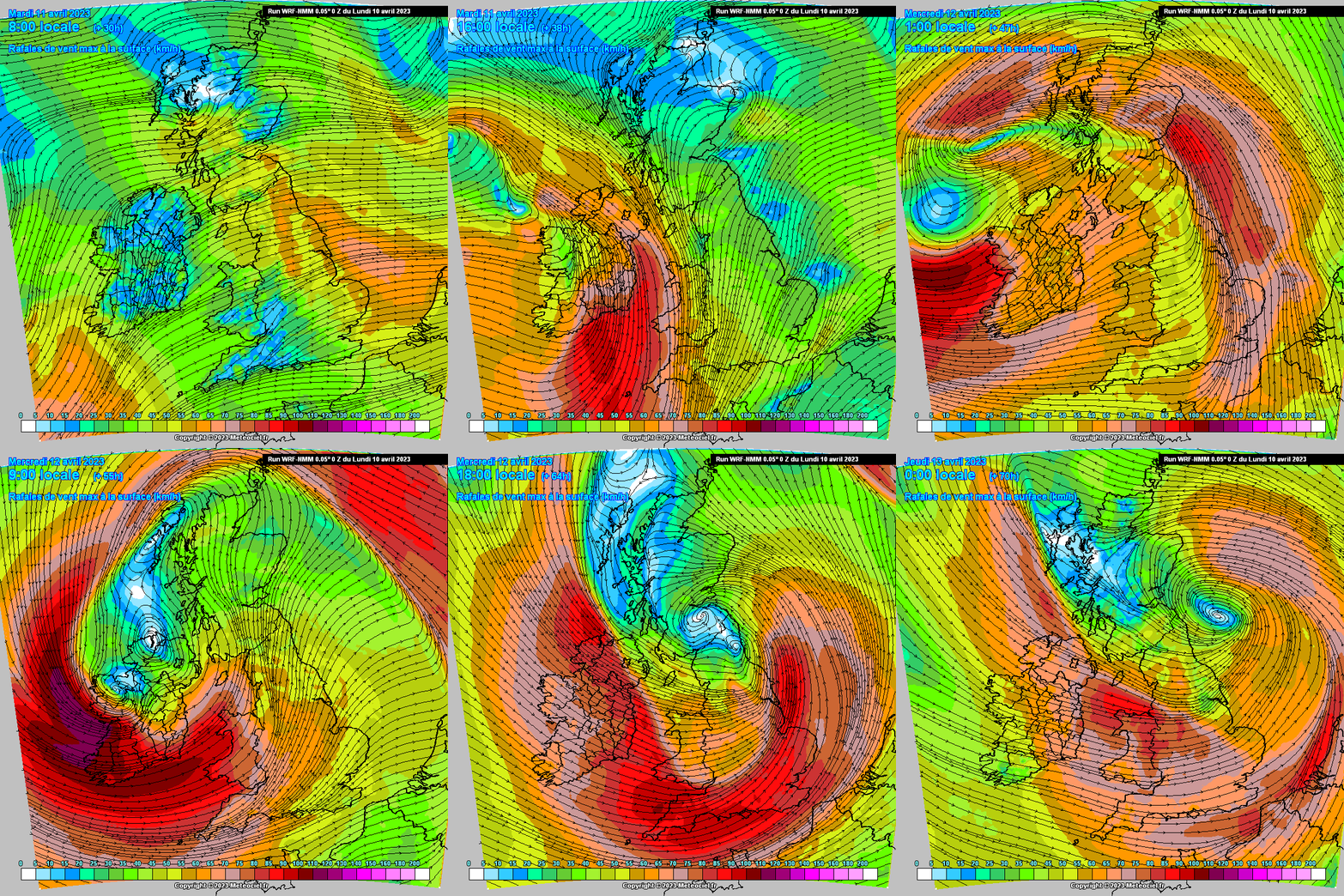
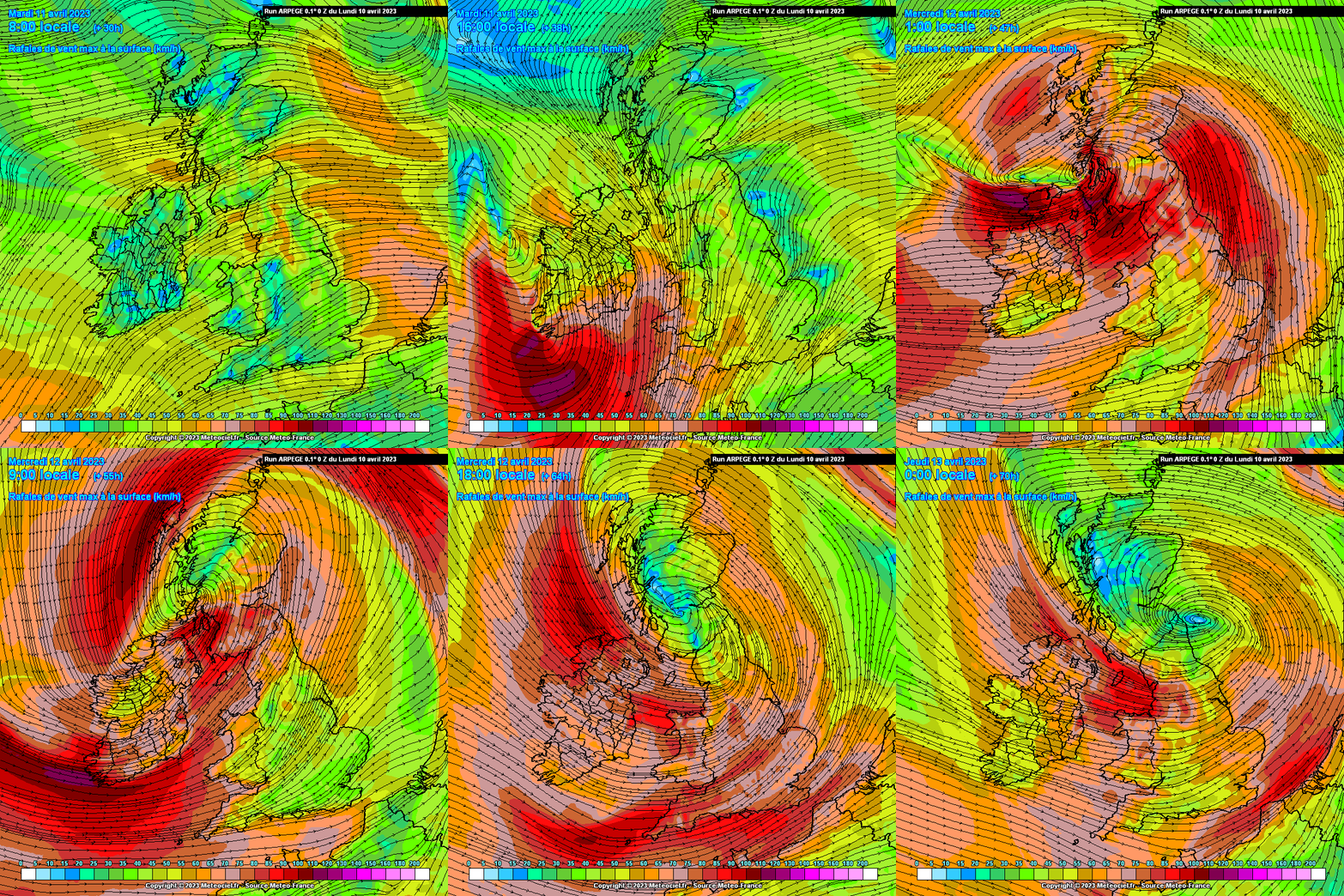
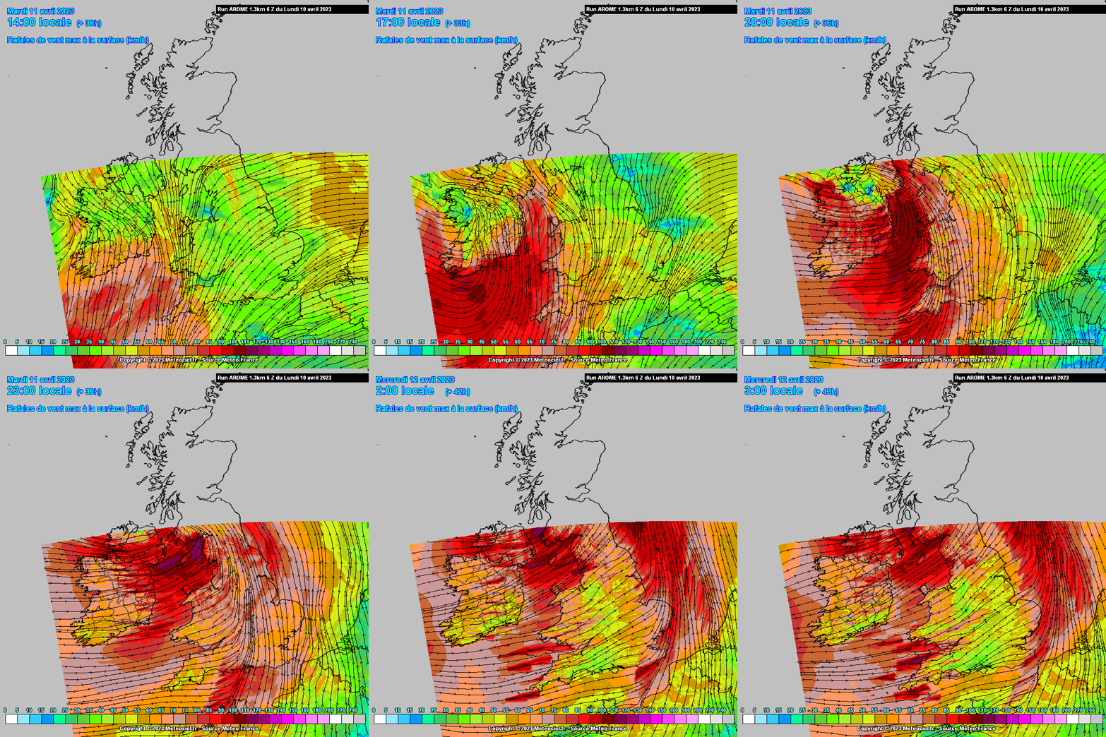
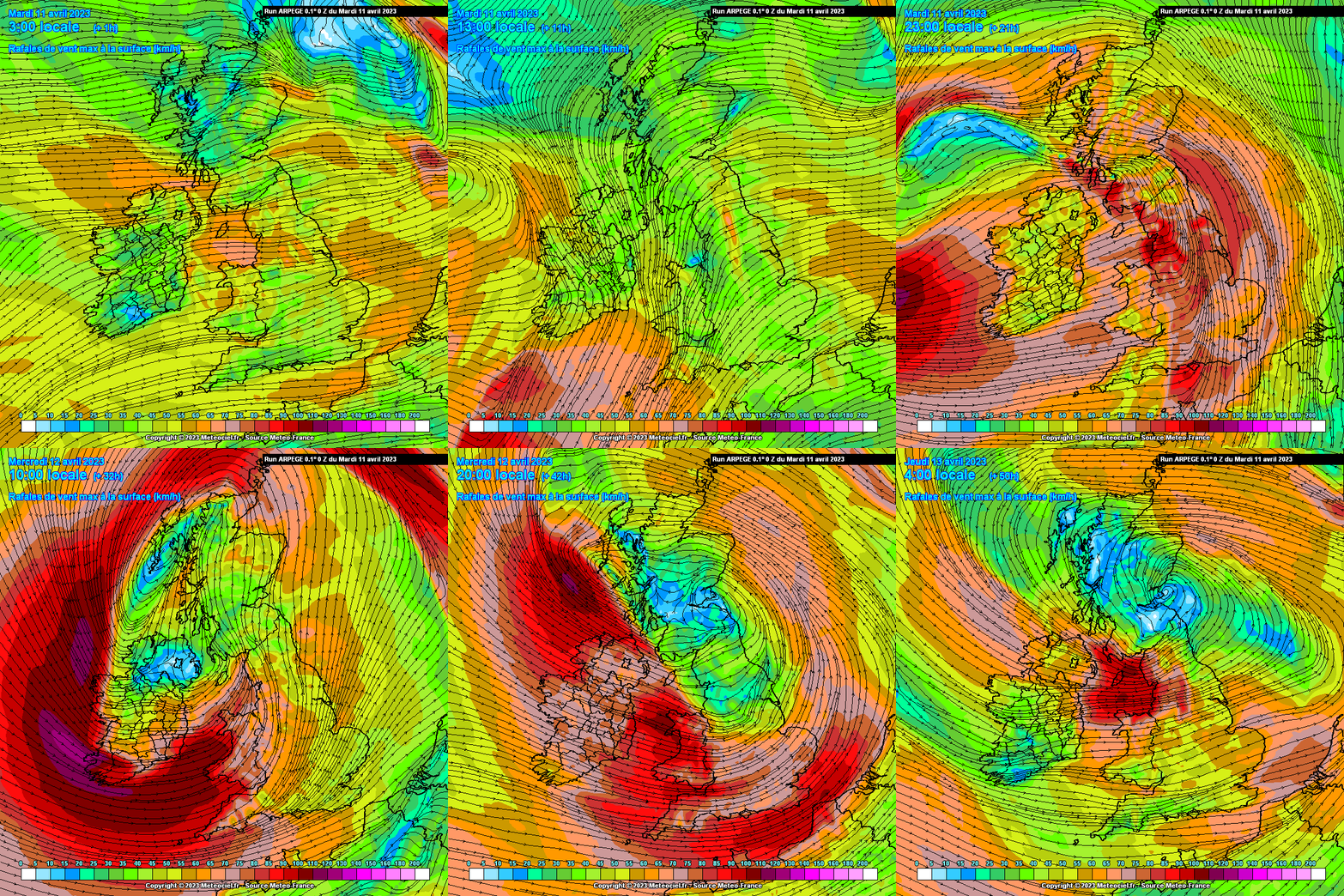
ECM about the most consistent I would think with track and wind speeds, GFS has eased off again on the 06Z, had been showing very strong winds on previous run- lot of chopping and changing, UKMO very strong and stormy overland but cant take it too literally this far out as prone to very much overdoing it in the early runs. ICON was consistent in its approach similar to the ECM if a lot stronger but has eased off on strength this morning and giving it a more ragged look with winds at different intervals. GEM a bit out on its own with a different look all together on latest run. Australian model showing a very strong wind event also.
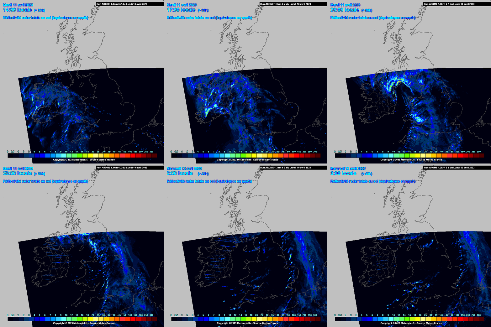
Can see that the storm deepens very rapidly and is still deepening at landfall. Taking a reading of probably about 1000 mb at 99hrs and 961hPa at 120hrs giving a drop of about 40mb in less than 24hrs. Formed along and exiting the left side of a very fast jet positioned to bring it close or over us. Fairly strong thermal gradient also brining in cold airs with it giving the chance of some wintry showers plus convective heavy showers with hail and will see if thunderstorms possible.
Would think at this stage a fair chance of strong winds. Will see how the models progress with this.
Just seen this on Met Eireanns site:
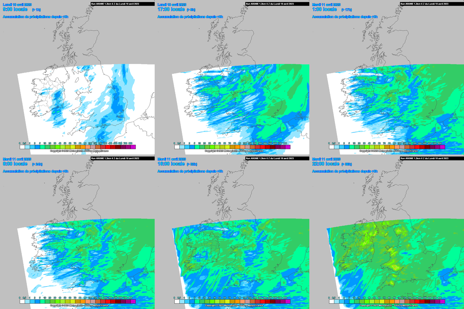
TUESDAY: Wet and windy on Tuesday with wind warnings likely to be issued. There is potential for impactful conditions so stay up to date with the forecast for your local area.






![Photo of [Deleted User]](https://w0.vanillicon.com/v2/0e54e8024b002427df3ce2953d22b721.svg)


