Mod Note
This thread is for posting/discussing/analyzing FI CHARTS ONLY i.e. Charts in the unreliable time frame, generally +T120 onward for Spring 2023.
If your post does not specifically relate to an FI chart then it doesn't belong here - Off topic posts will be moved
Thanks
------------------------------------------------------------------------------------------------------------------------------------------------------------------------------
After another mild Irish winter we now turn our attention to Spring. We are currently in a relatively dry pattern since the second week of January and this looks like continuing for at least another 7 to 10 days. The first half of March is likely to be fairly dry overall with high pressure near or over us much of the time.
After a very warm February, temperatures have cooled down back to about average for the time of year. Temperatures look like they will stay close to average for the first week of March with maybe a slight cooling trend for the second week of March. Frost is possible at times over the coming 7 to 14 days but as of now there is nothing particularly cold in the outlook with night time temperatures generally above 0C for the most part, however we may get a few nights of -1 or -2C. Day time temperatures generally between 6 and 11C.
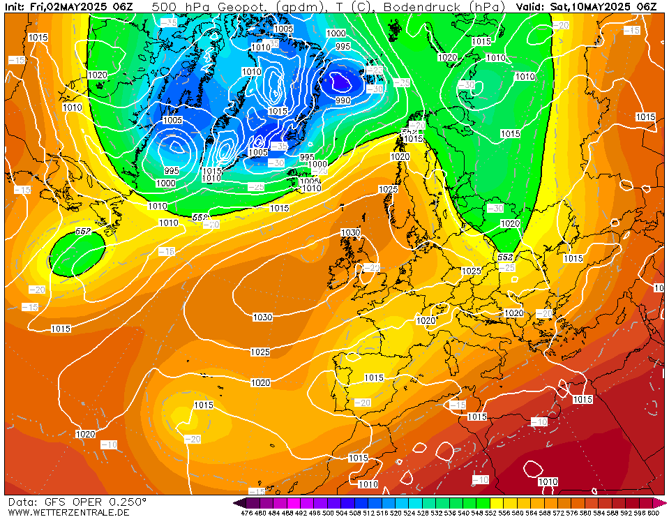
At the moment it is looking unlikely we will see any significant cold outbreaks for the first half of March with Ireland possibly stuck in no mans land between cold northerly plunges to our east and milder more unsettled conditions from the Atlantic which will struggle to make much progress over us.
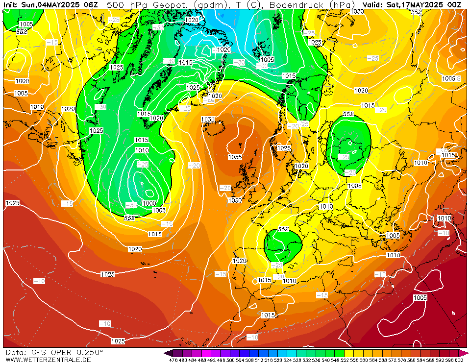
There is a chance we may have some cold spells around the middle of March which will either produce some cold rain or wet snow depending on if we get a direct hit or a glancing blow.
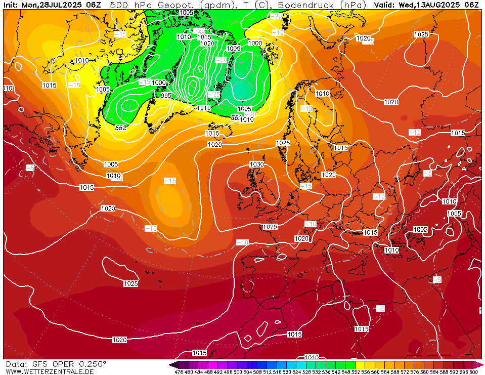
Up to the 7th of March looks mostly dry but there is a trend to turn things more unsettled as we begin the second week of March. This is dependent on either the Atlantic making a come back with mild and unsettled conditions or an unstable and cold plunge from the east/north-east. If these 2 scenarios don't happen we are likely to stay high and dry into the middle of March but that is a long way off.
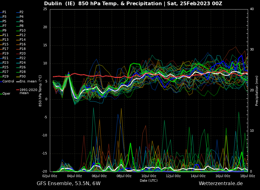
Most of the GFS ensemble members keep things relatively mild or average in terms of upper air temperatures up to the middle of March with not much support for genuine cold.
Just for reference the ECM ensembles are very similar keeping things relatively dry till the 7th of March and temperatures around average for the time of year.
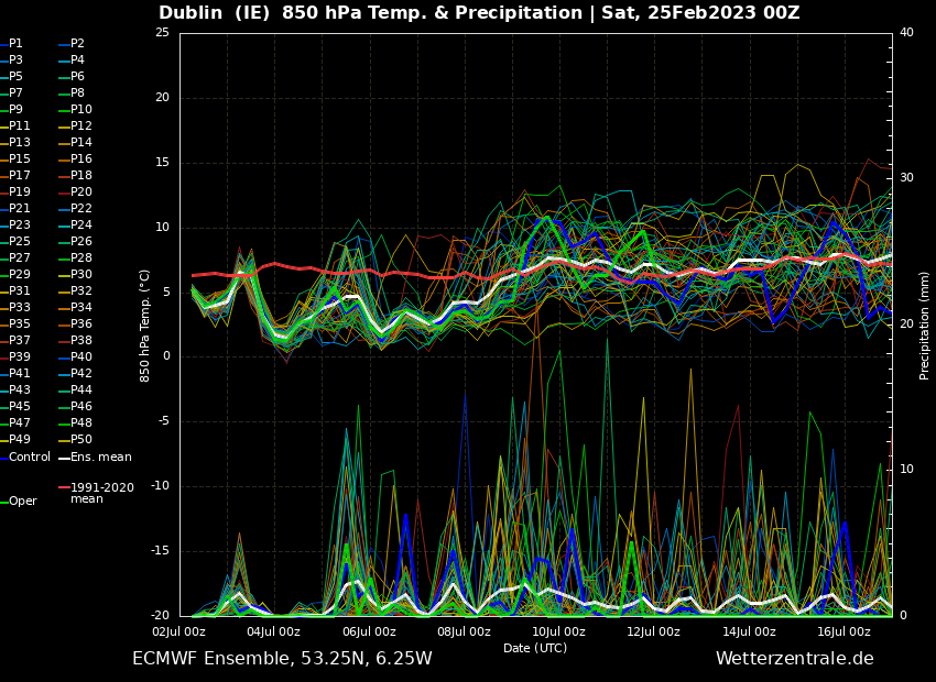
GFS precipitation charts show little to no rainfall over the next 10 days or so. A chance of some light rain showers on the eastern and southern coasts as well as coastal areas of Donegal.

At the very end of week 2 of March not much change, still looking largely dry across the country so it's very possible we are looking at a very dry first half to March.