Mod Note
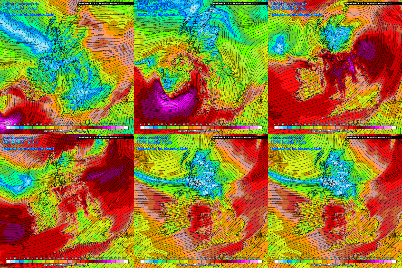
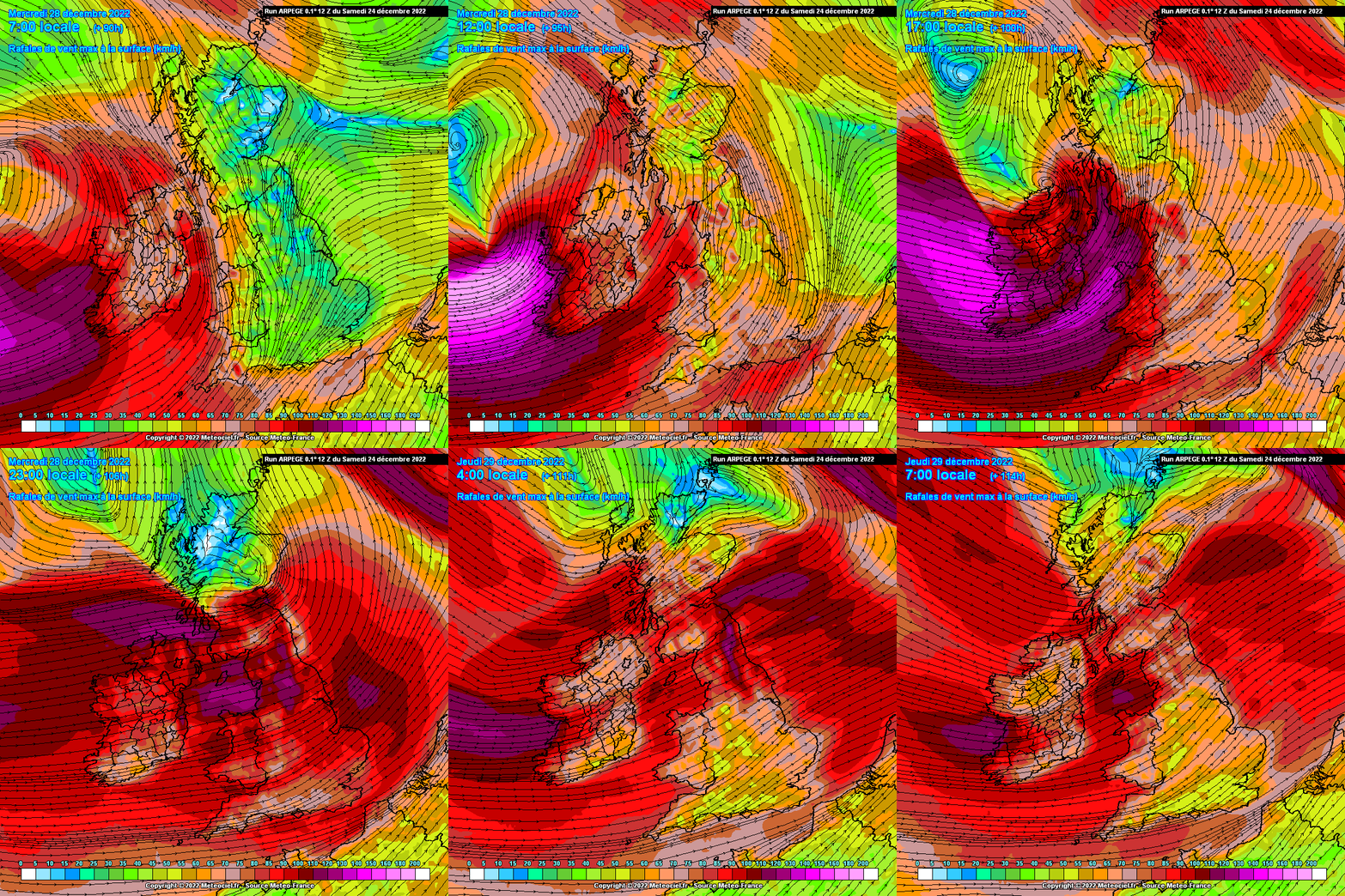
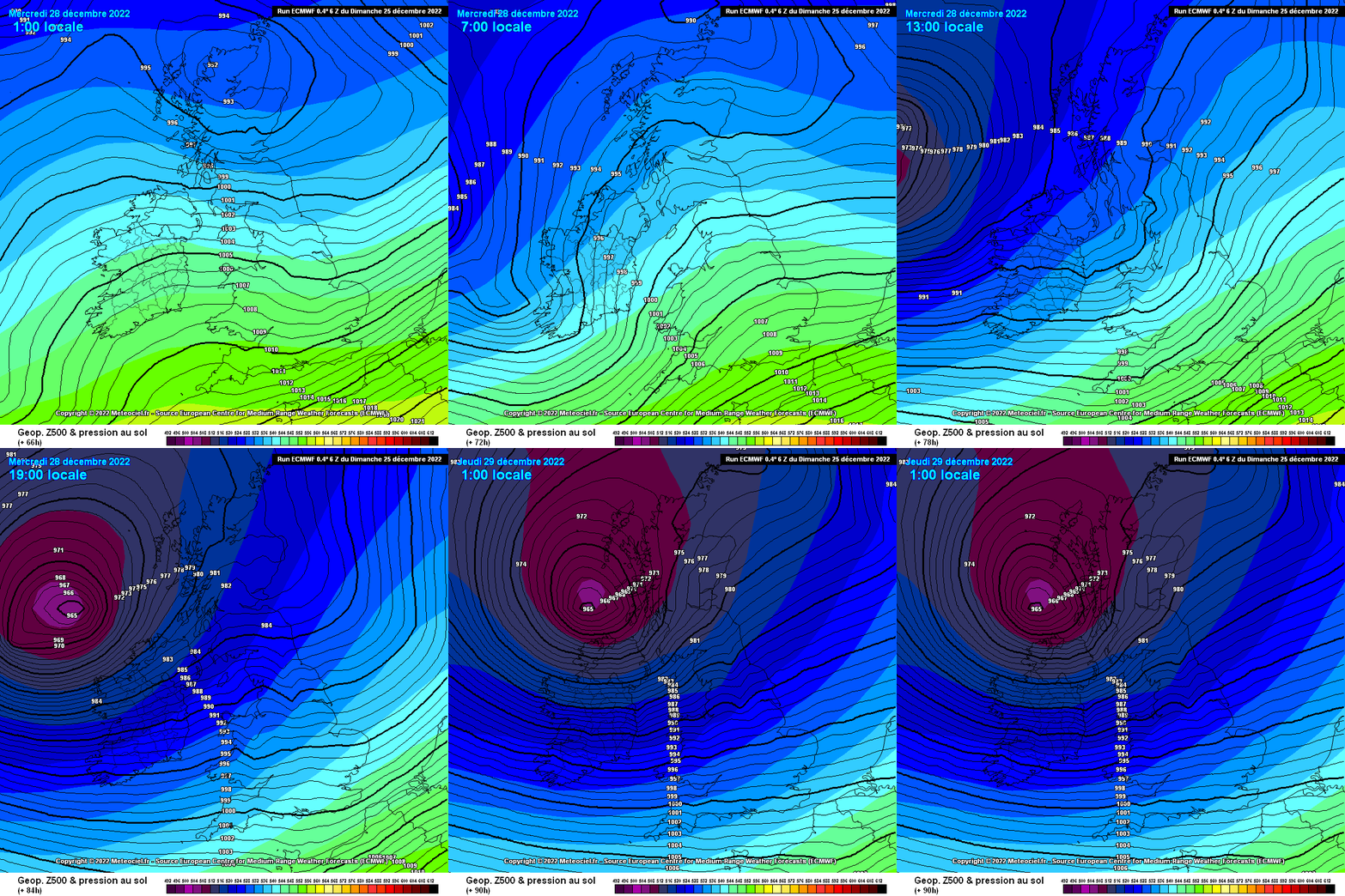
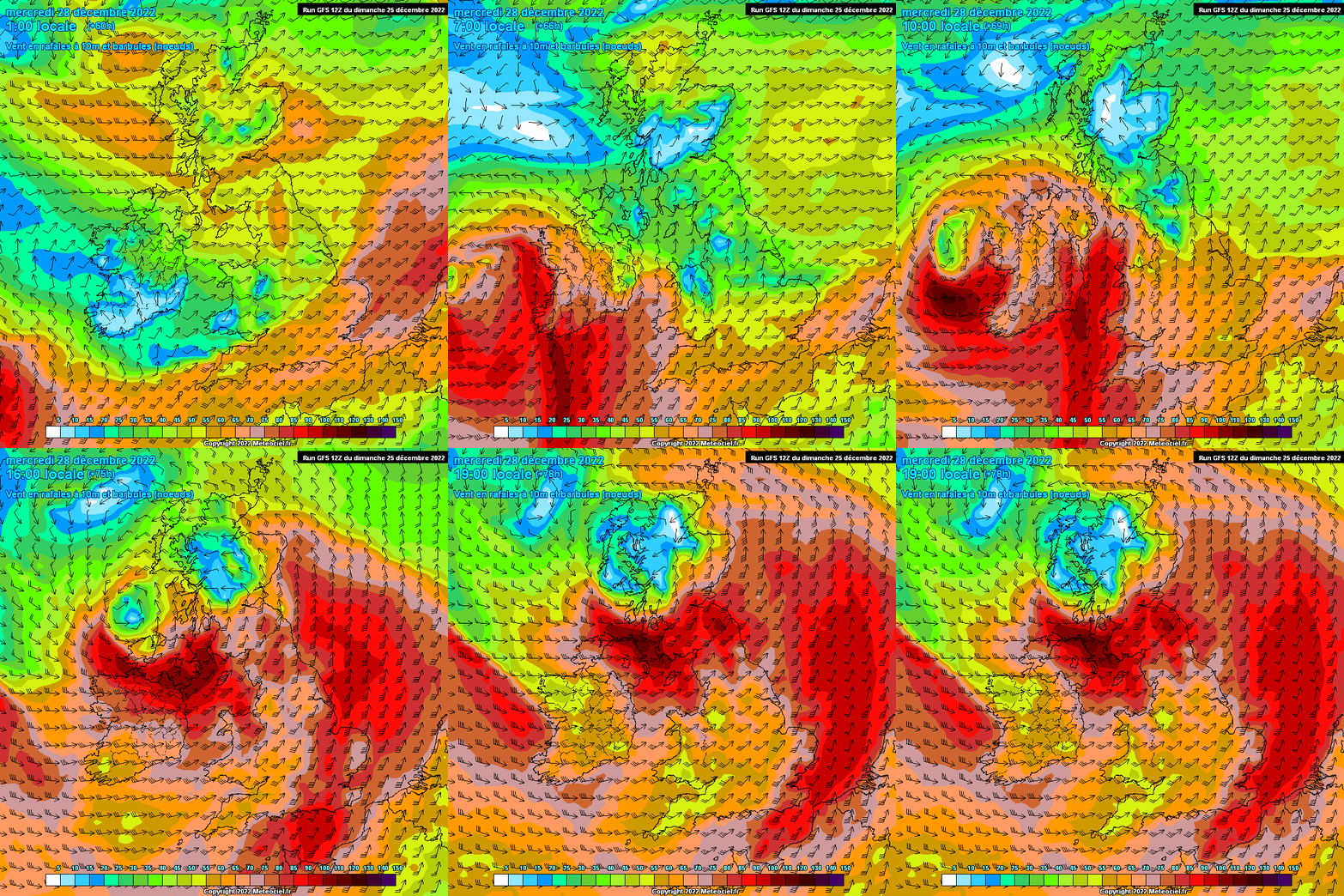
This thread is for posting/discussing/analyzing CHARTS in the shorter range timeframe up to T120 hours for Winter 2022/2023.
If your post does not specifically relate to a chart then it doesn't belong here - Off topic posts will be moved
Thanks
------------------------------------------------------------------------------------------------------------------------------------------------------------------------------
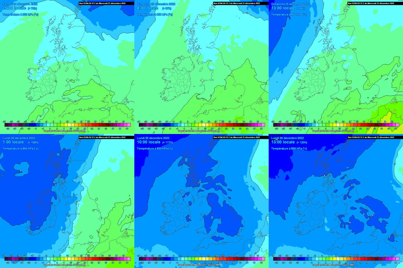
After a very mild and wet Autumn Winter is now upon us and for once we are not starting off winter with an unending conveyer belt of Atlantic driven muck. We are entering a colder than average spell as we begin the 1st day of winter and temperatures will slowly slide away over the coming week. Temperatures will generally stay above freezing both by day and night over the coming week with winds in from the east, but not a cold easterly for week 1 of December.
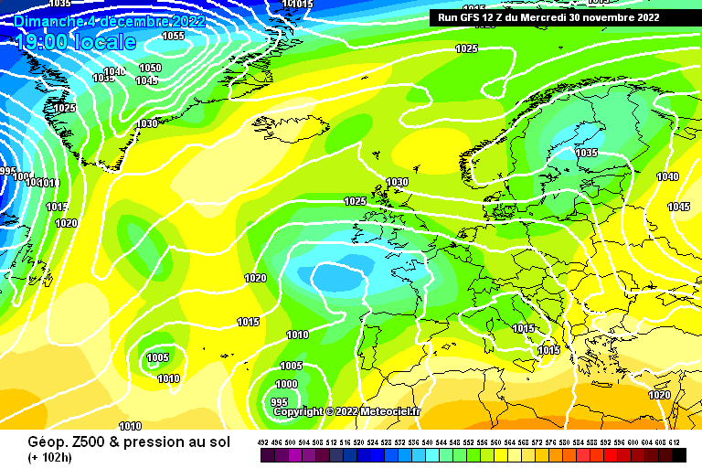
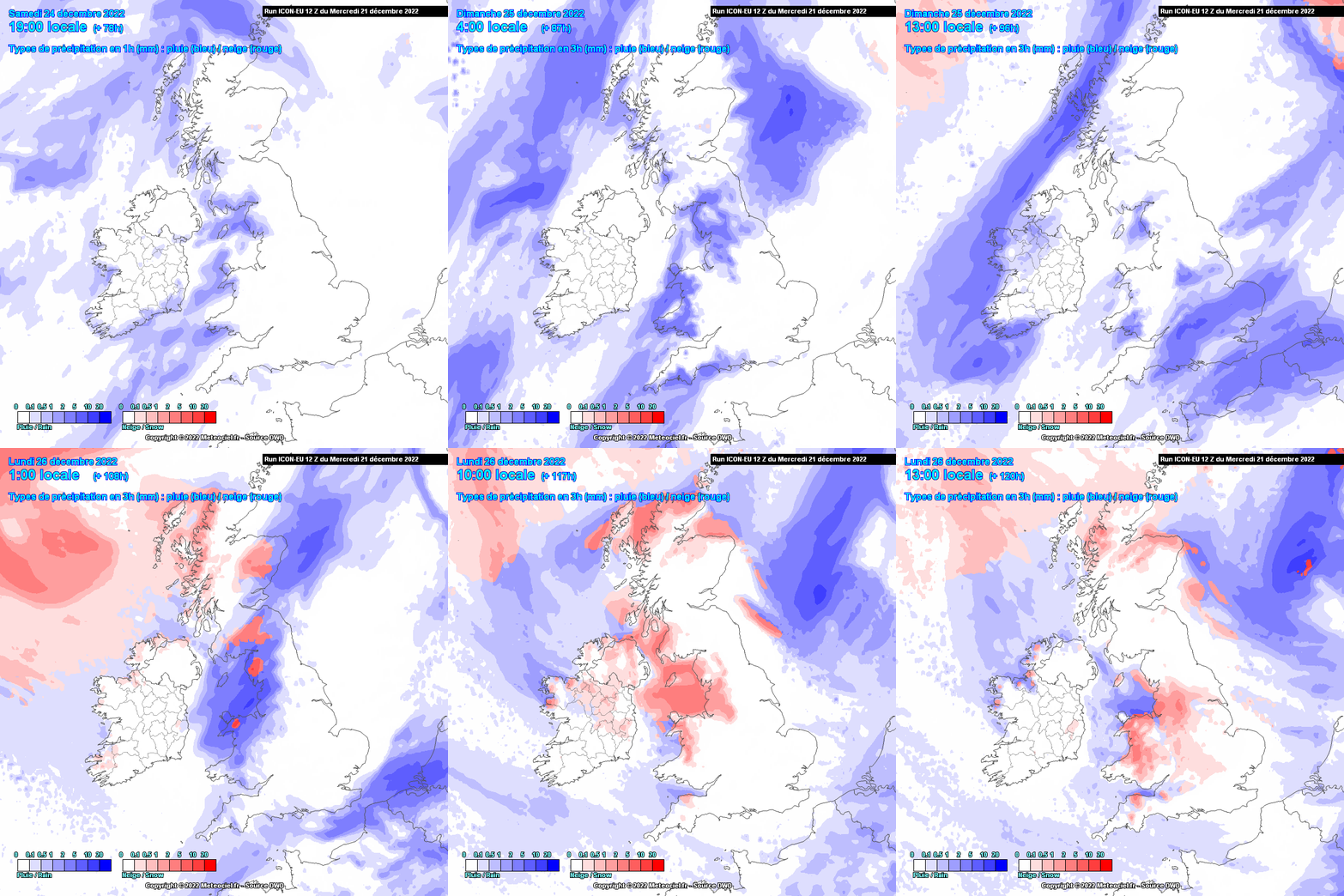
Thankfully we are now also entering a much dryer spell of weather, a welcome relief after 3 months of deluges. It should be mostly dry until Sunday when showers may begin to move in from the Irish sea and cross the country. These showers are likely to be of rain for the most part as temperatures by Sunday still won't be cold enough for wintry precipitation away from high ground.
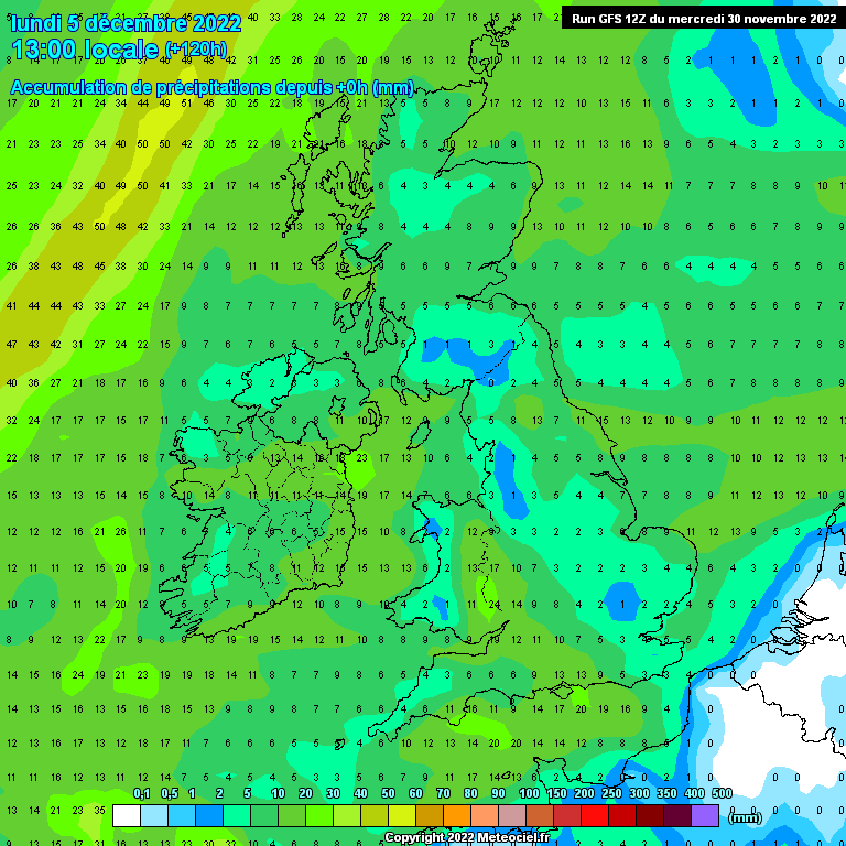
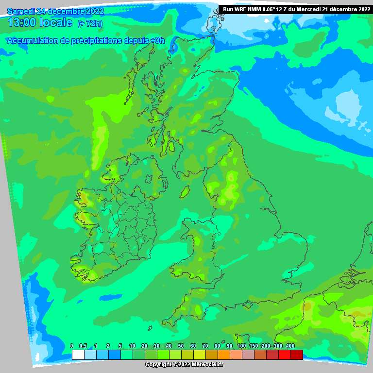
Precipitation amounts of the next week look fairly low especially in western and northern areas with Leinster and coastal parts of the south experiencing more in the way of rainfall from showers particularly on Sunday.
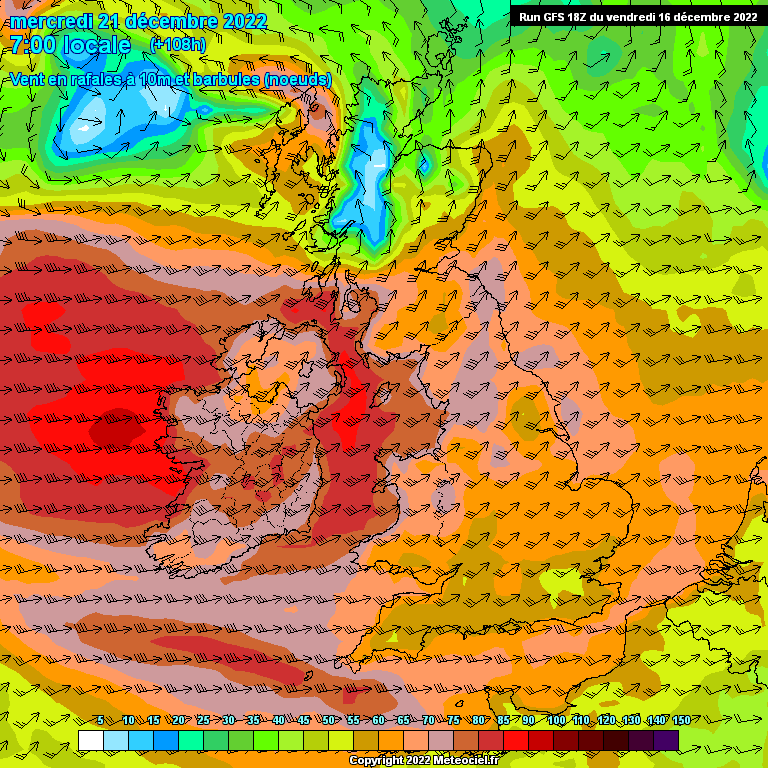
Winds over the coming week will primarily be from an easterly direction but not dragging in properly cold air as of yet but it will feel cooler than what we've been used to.











![Photo of [Deleted User]](https://w2.vanillicon.com/v2/23cbe5e5e50cebb31e4a86160a77c62d.svg)








![Photo of [Deleted User]](https://wb.vanillicon.com/v2/b78264a0e13e5e3a27935691920a2390.svg)


