Mod Note
This thread is for posting/discussing/analyzing FI CHARTS ONLY i.e. Charts in the unreliable time frame, generally +T120 onward for Winter 2022/2023.
If your post does not specifically relate to an FI chart then it doesn't belong here - Off topic posts will be moved
Thanks
------------------------------------------------------------------------------------------------------------------------------------------------------------------------------
Ok, I've had enough of this Autumn and with a week of it still to go, I thought it would be a good idea to open the Winter FI thread extra early, as the GFS short range models are already showing us an insight into the first week of December at this stage.
After what seemed like over a year of relatively dry and high pressure dominated weather, the autumn brought a significant pattern change to something much wetter since September 2nd. We are still currently in this very unsettled Atlantic dominated pattern but it does look like a change could possibly be happening just in time for the gates of winter of swing open!
The models are currently playing around with high pressure for the 1st week of December but what they are not sure of is the high pressures position. The positioning of the high pressure at this time of the year is critical to how cold or mild it could be. If the high sits right over us expect plenty of frost and maybe fog. If the high sits to our east, expect mild southerlies or south-westerlies. If the high is just off our west expect a cool north-westerly flow from the Atlantic. If the high pulls out to the mid Atlantic expect maybe a cold northerly shot. If the high positions itself between Iceland and Scandinavia, expect some sort of very cold north easterly etc.
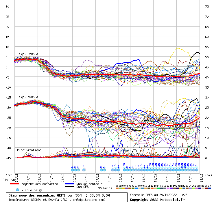
The GFS 12z just rolled out and is showing a rather chilly 1st week to December as heights try to rise towards Greenland. We begin winter December 1st with a rather chilly easterly wind from the Irish/North Sea. This should be a much dryer scenario than what we are currently in. There maybe some showers on Irish sea coasts but at this stage unlikely to be wintry.
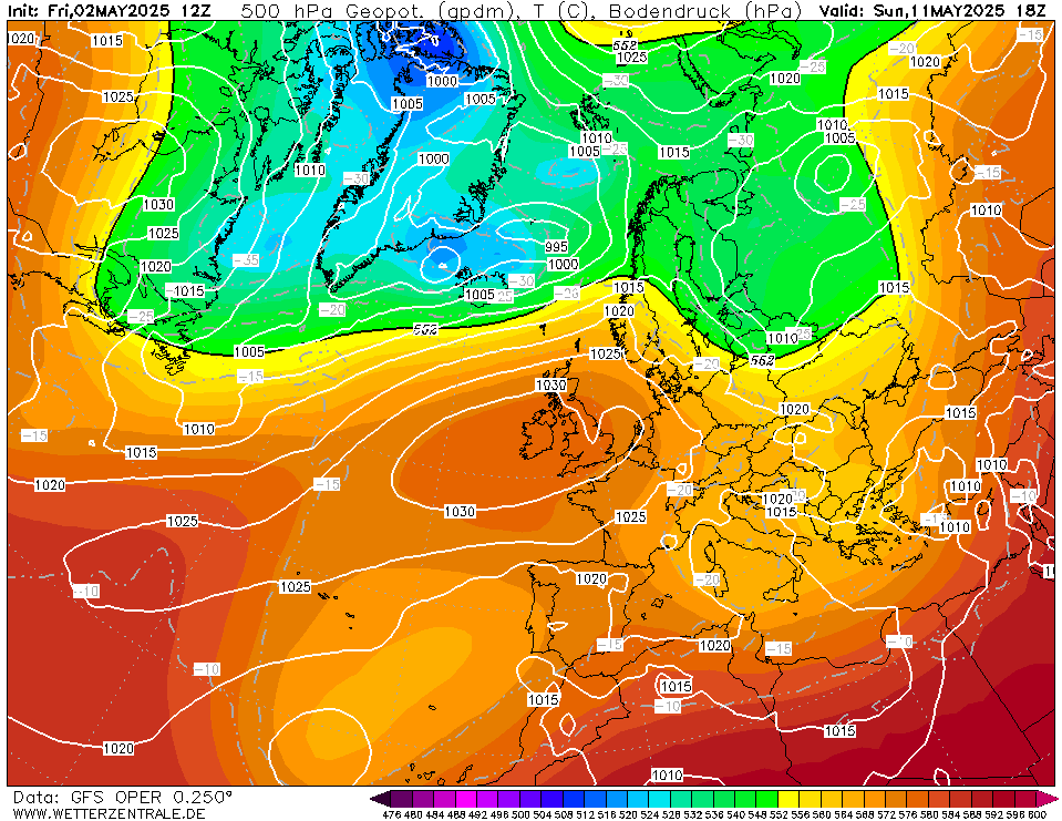
We generally keep this easterly going through the 1st week of December but it is not a proper cold easterly, a rather cool and slightly unsettled easterly so eastern and northern areas would expect showery outbreaks of rain at times, It would feel very raw in this setup but unlikely to be cold enough for snow away from high ground as we are not drawing in a properly cold easterly.
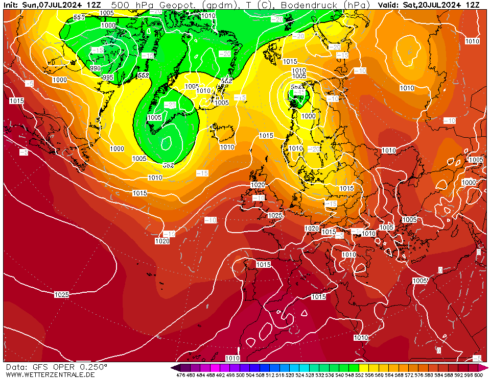
We finish up with heights trying to rise over Greenland and Iceland.
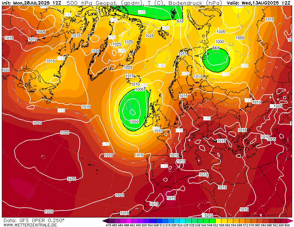
This particular run doesn't really get high pressure sitting over us, so less in the way of frost and fog with this one compared to some of the earlier GFS runs I seen over the past few days. There is an overall cooling trend for the first week of December but nothing properly cold either. Overall it looks like we should get a respite from the Atlantic for at least a week, although it may not be completely dry. There is alot of uncertainty to the first week of December as the positioning of the high and the overall strength of it will be key to how dry we get, if it will become chilly and frosty or could we potentially open the doors to something colder from the north or the east. Alot to play for but it does look like we will begin winter on a slightly more seasonal note than usual.
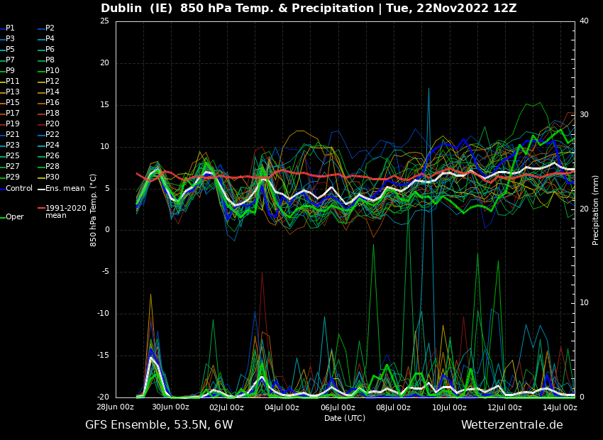
Once we get the next week out of the way, things should start to become a bit dryer, but not completely dry either. Expect this outlook to change quite a bit over the coming week especially with the positioning of the high pressure. After a very mild to warm and highly unsettled November, these charts make a welcome change and I wouldn't be surprised if the first week to 10 days of December end up fairly chilly and more seasonal.




![Photo of [Deleted User]](https://wb.vanillicon.com/v2/b78264a0e13e5e3a27935691920a2390.svg)


![Photo of [Deleted User]](https://w2.vanillicon.com/v2/23cbe5e5e50cebb31e4a86160a77c62d.svg)