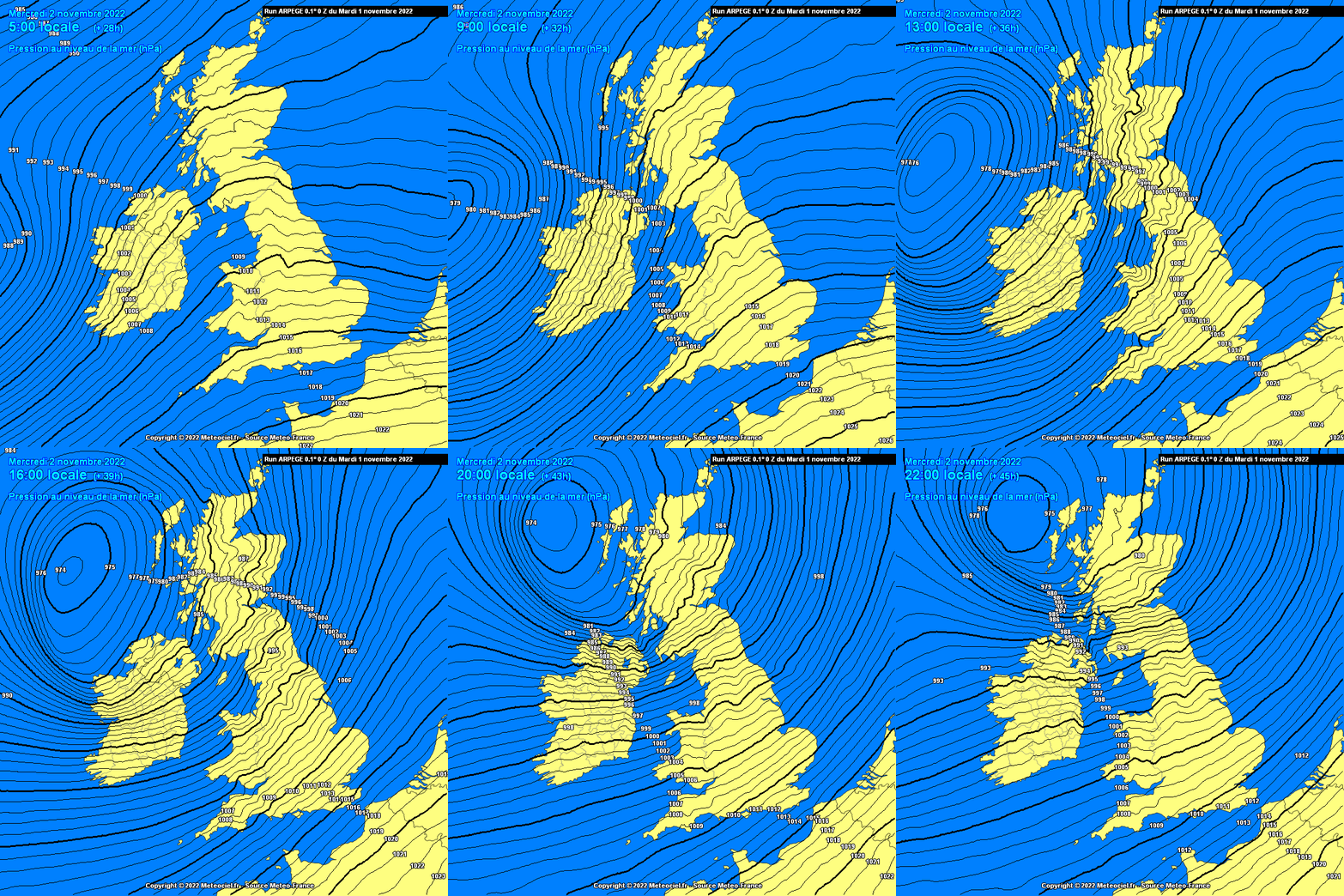
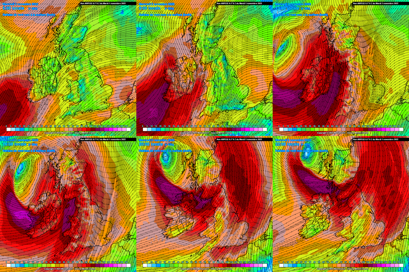
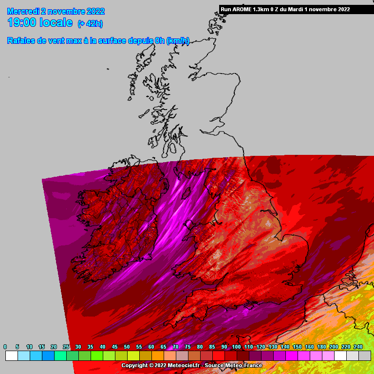
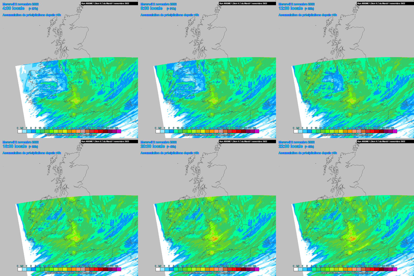
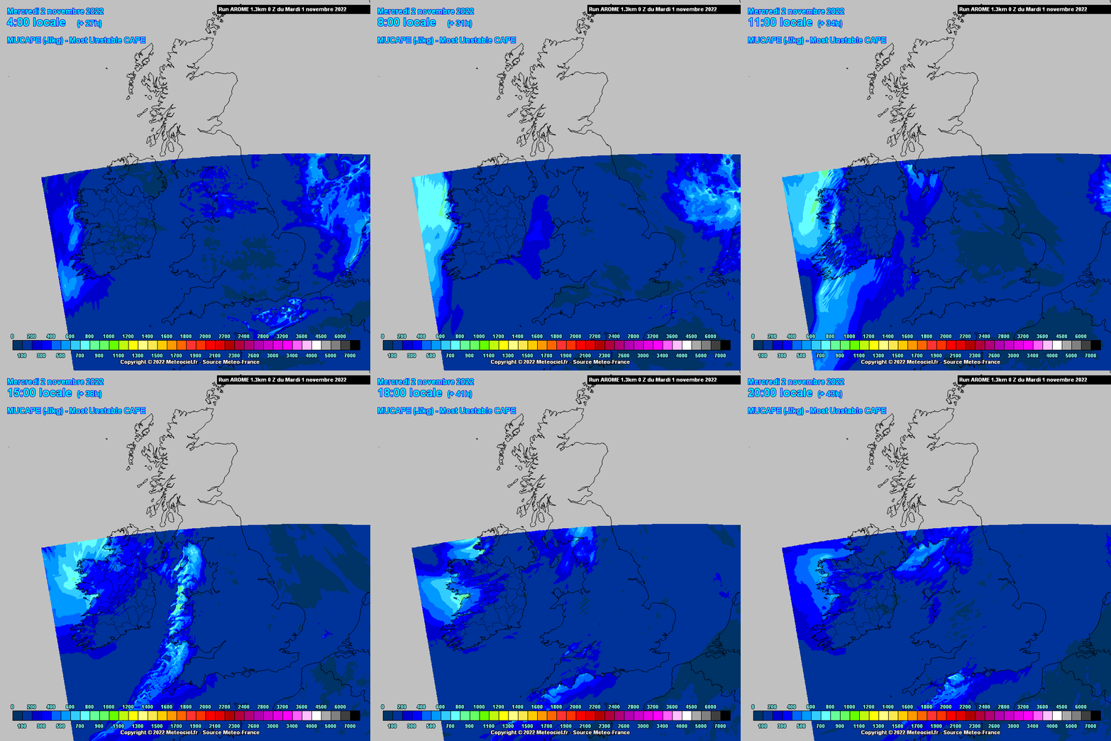
Potential named storm on Weds bringing very strong or stormy winds up along Atlantic coastal counties from early Weds morning and very strong winds sweeping across the country from the S to SW and veering W along with heavy frontal squally rain , possibly the strongest winds in the afternoon which look set to become stormy up along Western and Northwestern counties with very strong winds sweeping across the Northern half of the country. Heavy rain in a short space of time in Western counties giving a flooding risk. Potential for isolated thunderstorms also behind the frontal rain in the unstable airmass more so along Atlantic counties but some possible inland also and along the Irish Sea. Severe and damaging gusts are possible along Atlantic counties and some severe gusts could occur for a time inland also bearing in mind that a lot of land is saturated at the moment and trees in leaf may become a hazard. Relatively quick moving system. Can expect winds gusting up to around 120 km/h along coasts with some higher gusts on exposed headlands, gusting 80 to 90 km/h overland with the possibility of higher gusts of around 100km/h in exposed or more elevated ground. Should be mostly cleared of the country by late evening.


![Photo of [Deleted User]](https://w1.vanillicon.com/v2/1751471ae521095b085946f3afd00e1d.svg)



