Mod Note
This thread is for posting/discussing/analyzing FI CHARTS ONLY i.e. Charts in the unreliable time frame, generally long range +T120 onward for Autumn 2022.
If your post does not specifically relate to a Fantasy Island chart (extended long range charts) then it doesn't belong here - Off topic posts will be moved or deleted.
Thanks
-----------------------------------------------------------------------------------------------
Summer 2022 is over and what a cracking summer it was weatherwise with plenty of warm or hot and very dry conditions for much of July and August. It appears we are kicking autumn off on a very unsettled and autumnal note with a very unsettled first week to September but what about the second week?
We start off on 7th September with an area of low pressure that will be circulating around Ireland from September 1st, it may last a little bit beyond this point.
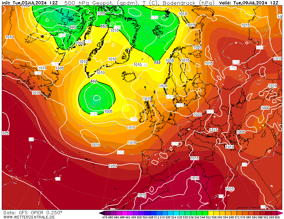
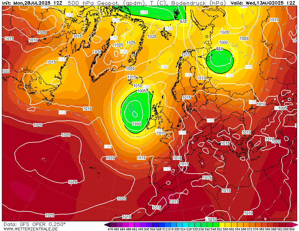
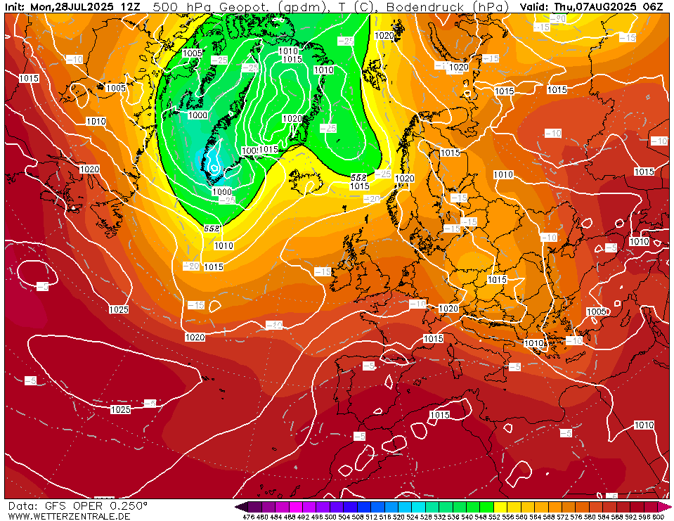
In the very extended range the GFS 12z wants to bring back high pressure and settle things down once again after possibly a very wet period of weather.
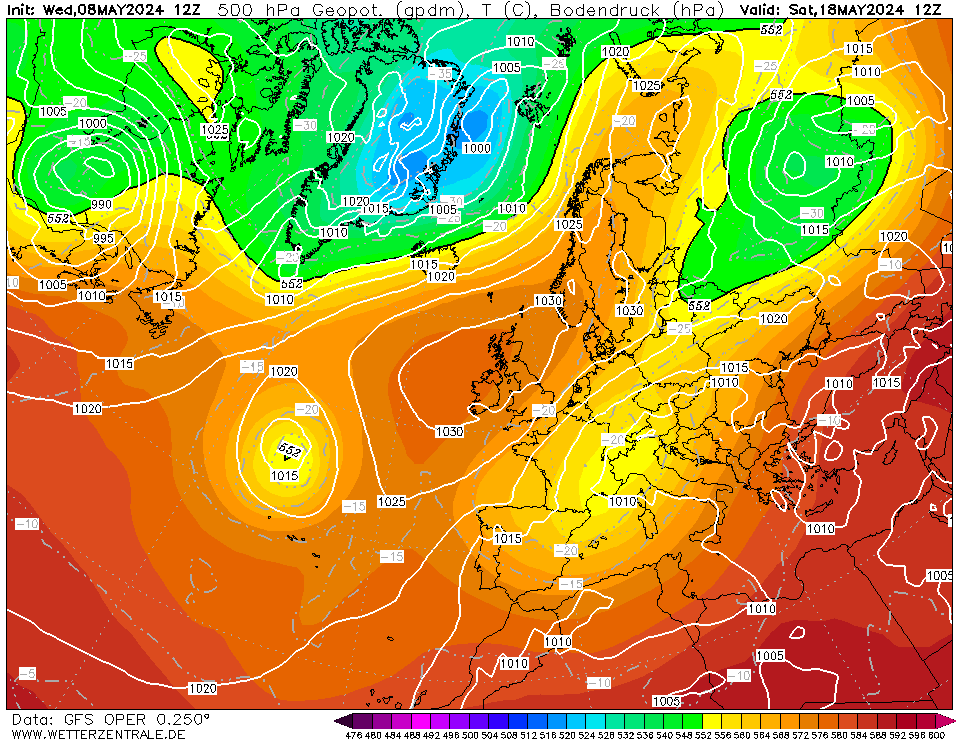
The GFS 12z keeps this high over us for about 5 to 6 days, it's not a warm ridge, just average temperatures with this one but if there is enough sunshine and cloud doesnt become a problem then it could feel fairly warm and very pleasant.
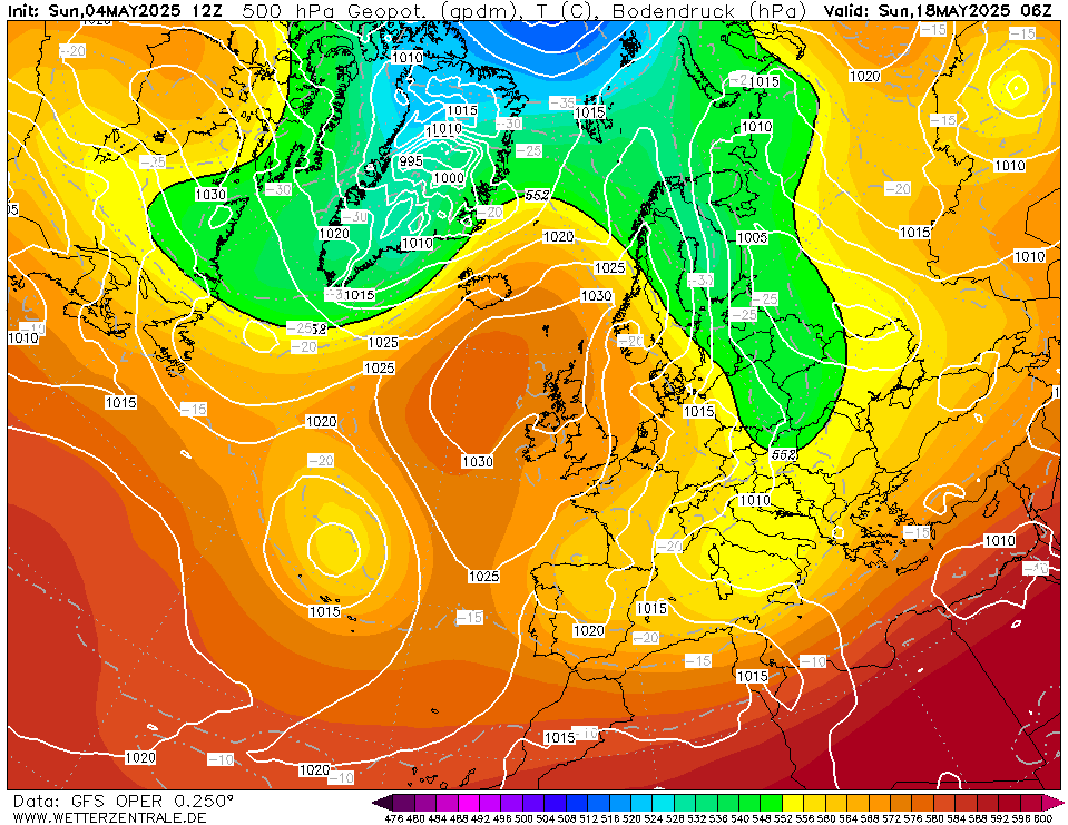
We finish up with signs of this ridge breaking down with Atlantic fronts heading towards Ireland.


![Photo of [Deleted User]](https://wb.vanillicon.com/v2/b78264a0e13e5e3a27935691920a2390.svg)












![Photo of [Deleted User]](https://w2.vanillicon.com/v2/23cbe5e5e50cebb31e4a86160a77c62d.svg)