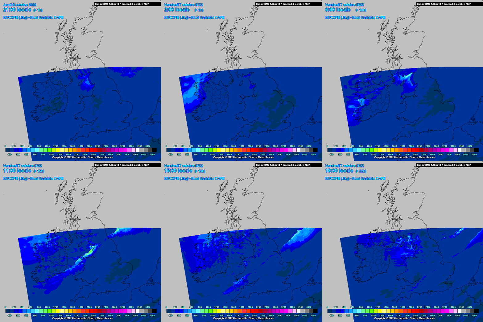
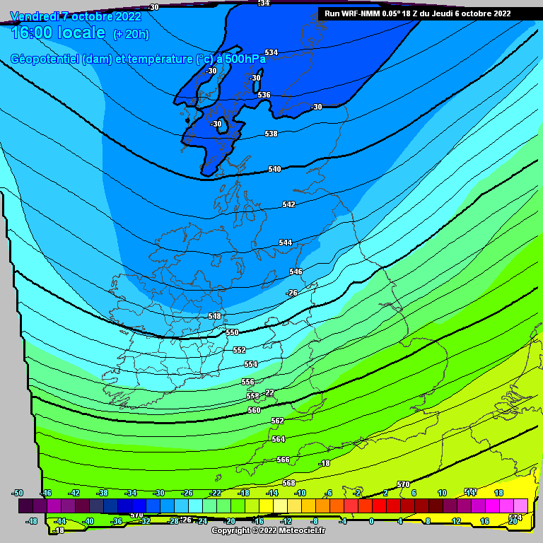
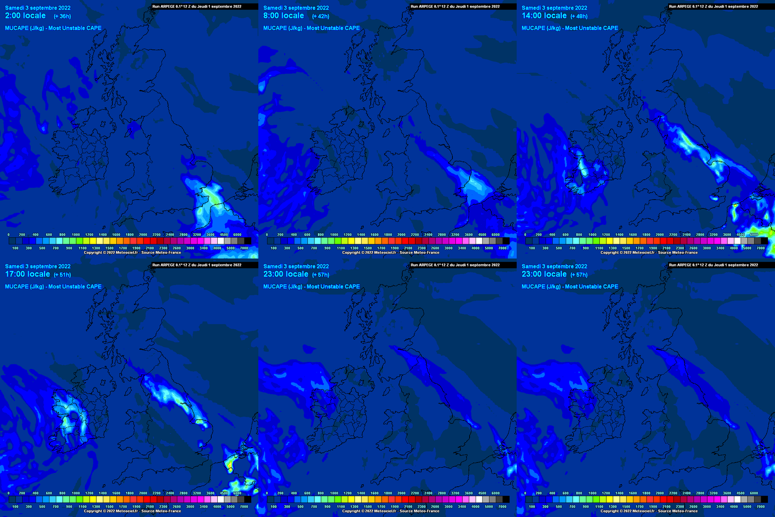
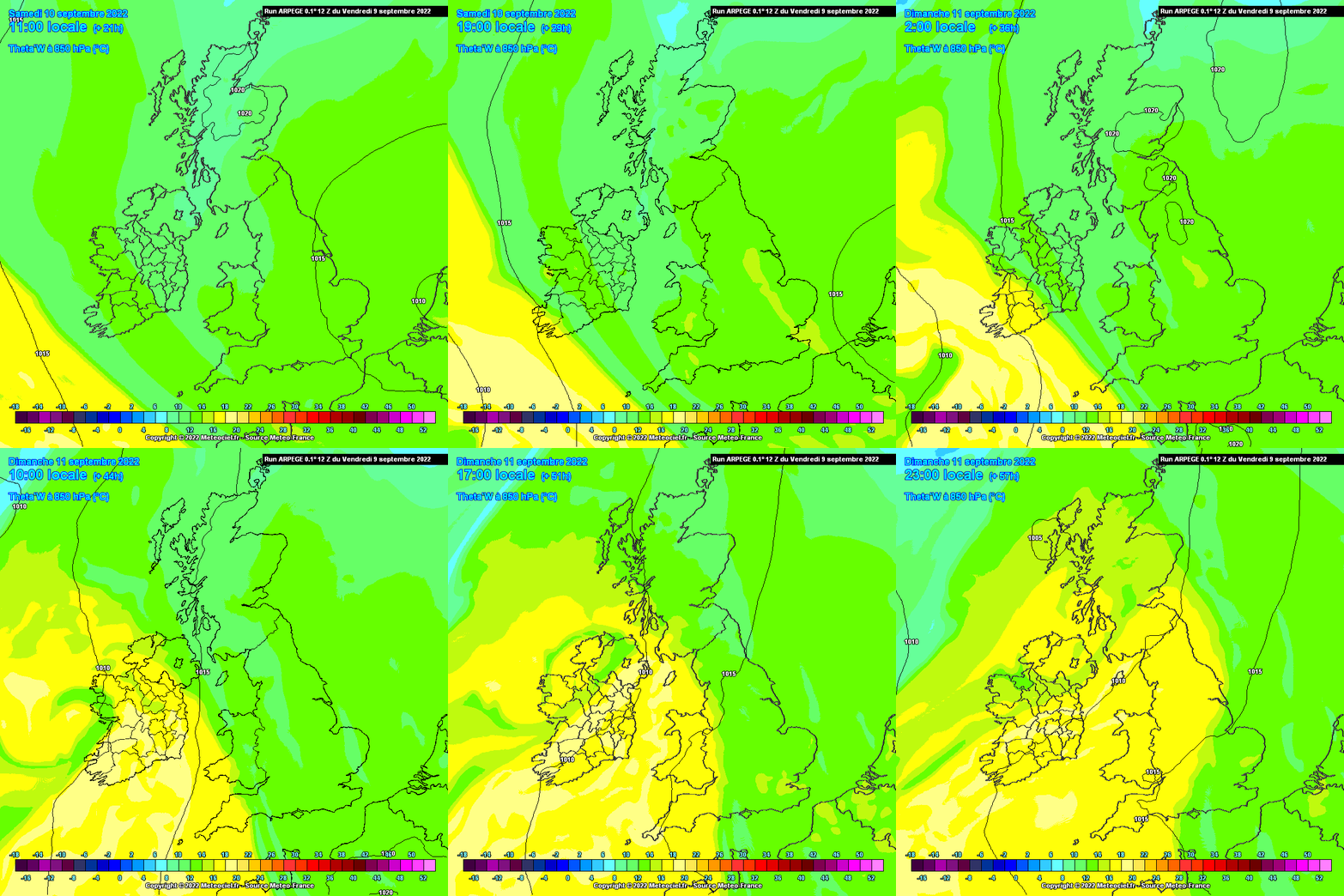
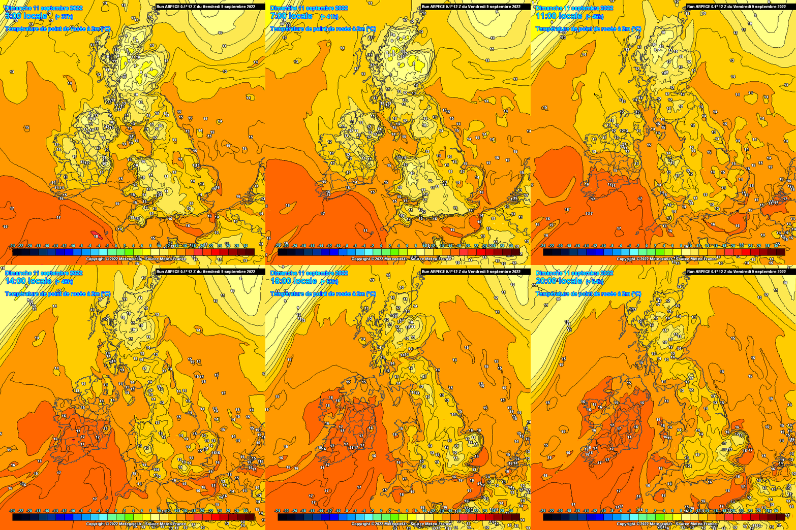
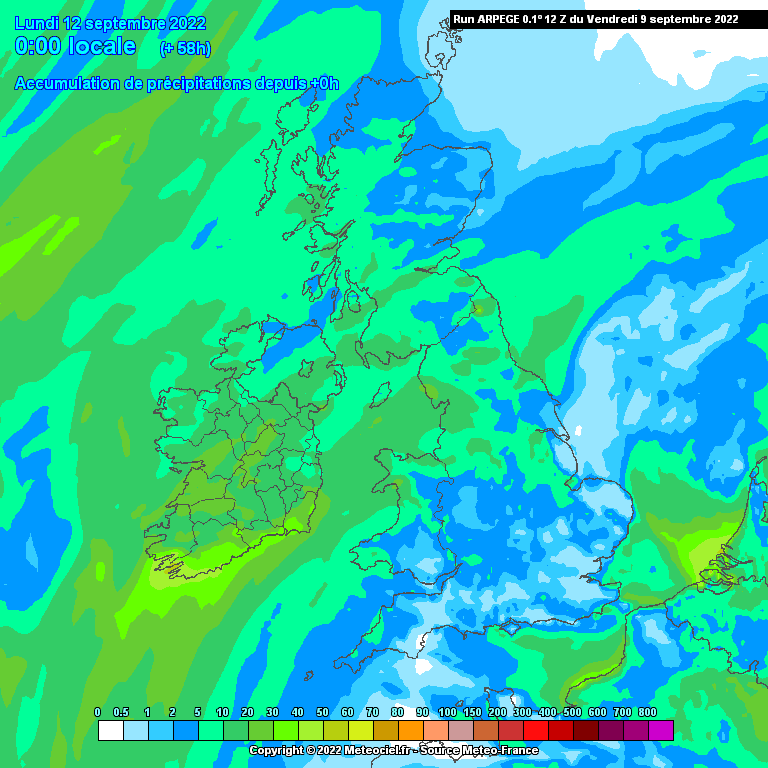
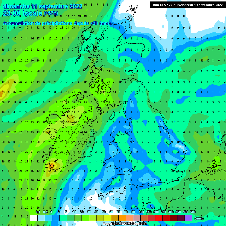
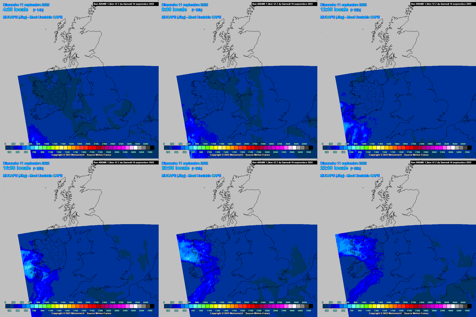
Over the weekend into the early days of next week conditions look like giving potential for thunderstorms at times.
Saturday behind the cold front the atmosphere should be quite unstable over the Western half of the country and more so towards coastal counties with very cold air aloft over warm SST's giving rise to convection with heavy showers and could well see some thunderstorms and wouldn't be surprised to hear of hail falling locally. Temperatures looking very low along Atlantic coastal counties so a lot of the instability coming from the sea temperatures I would think. Could get some good pictures of Anvils in the afternoon and towards evening









![Photo of [Deleted User]](https://w1.vanillicon.com/v2/1751471ae521095b085946f3afd00e1d.svg)