Mod Note
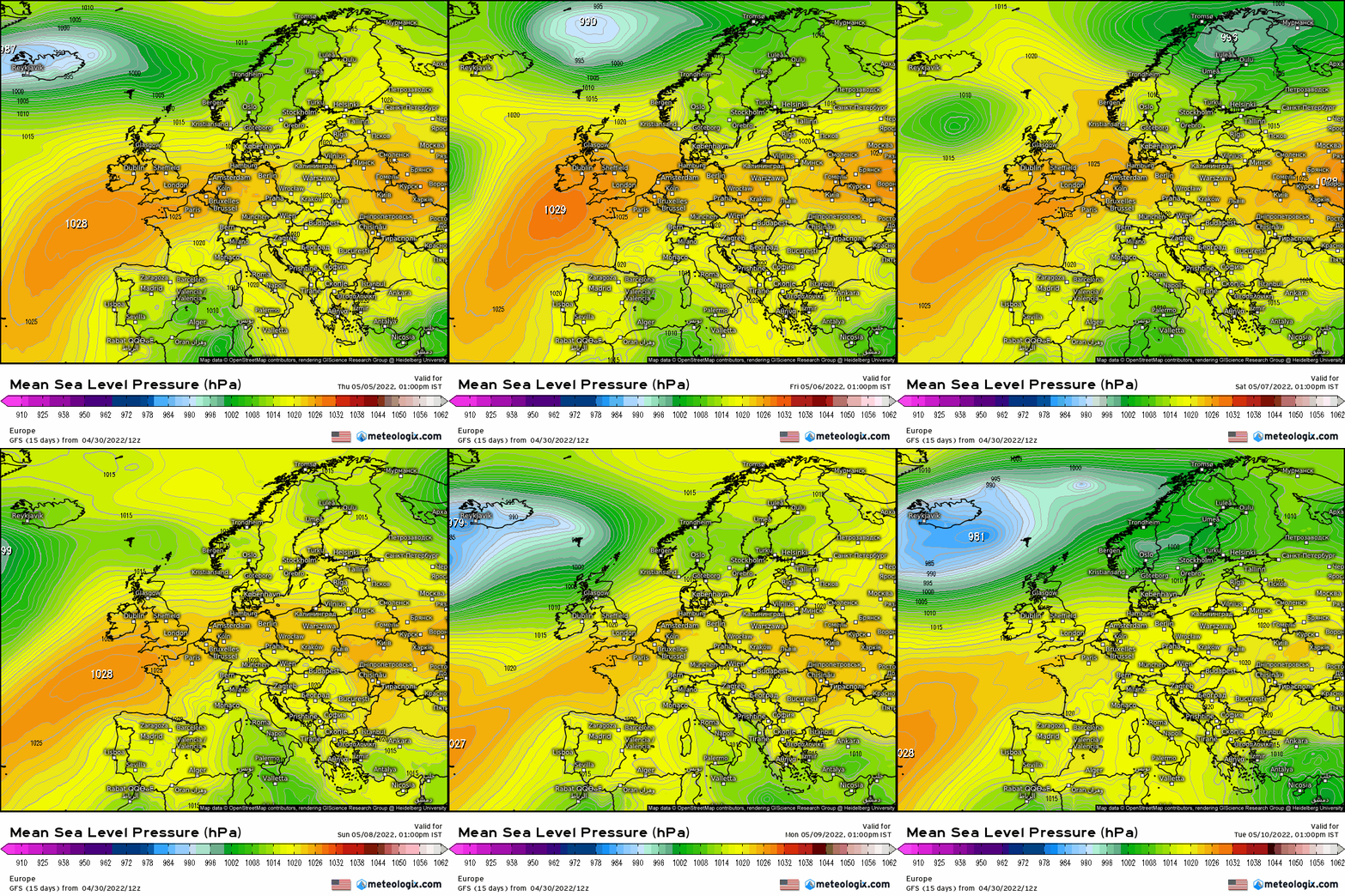
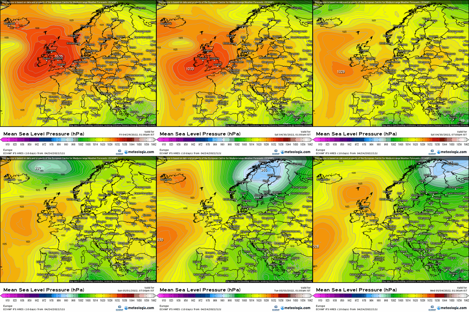
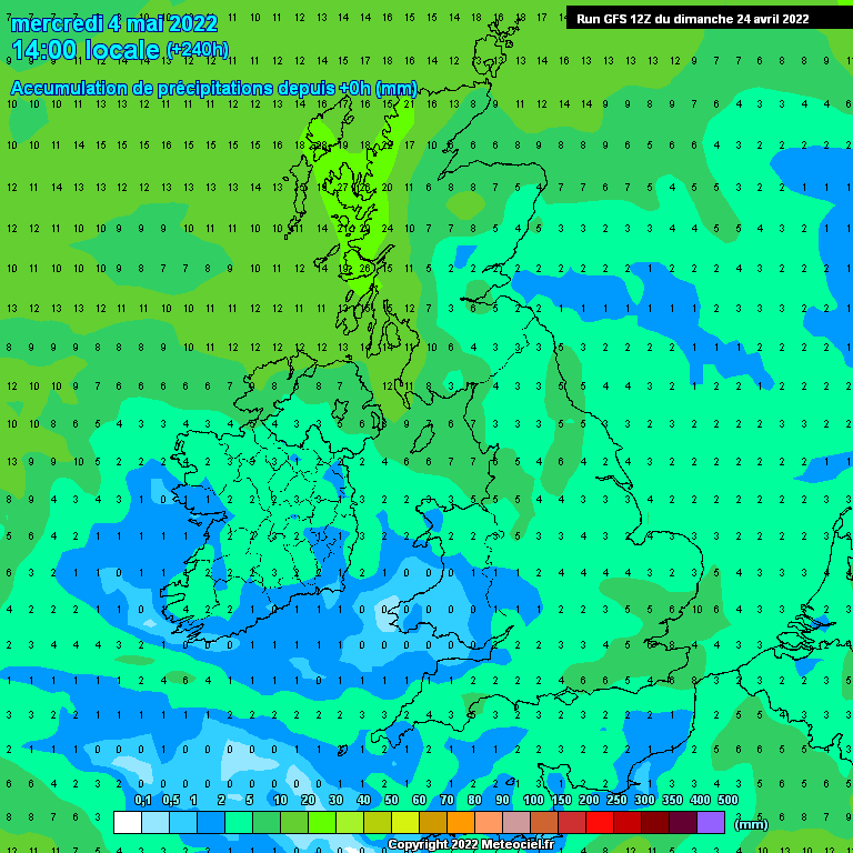
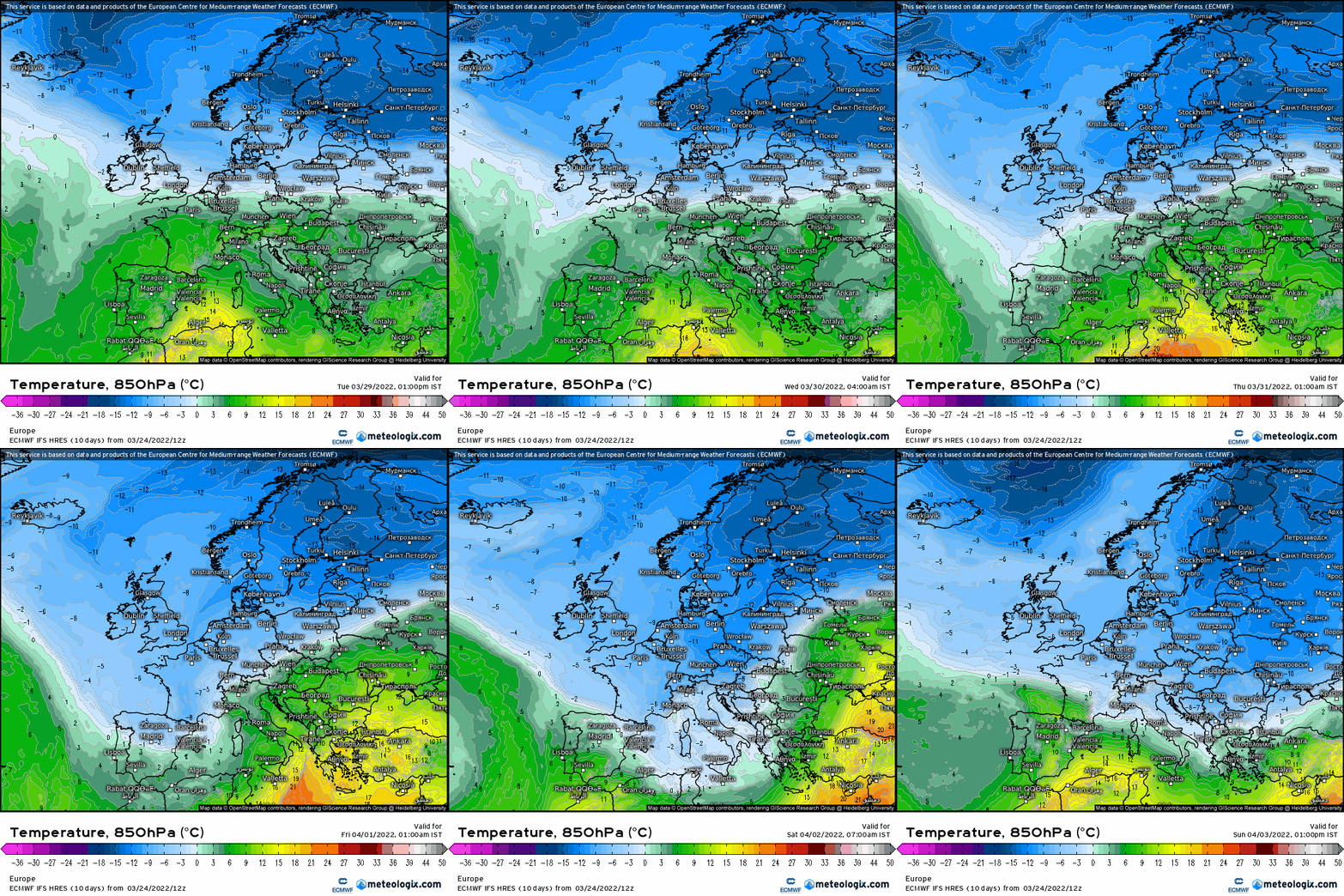
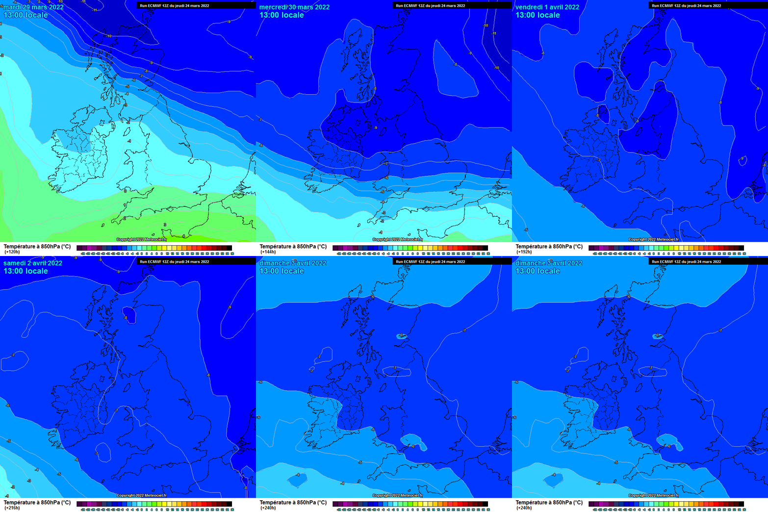
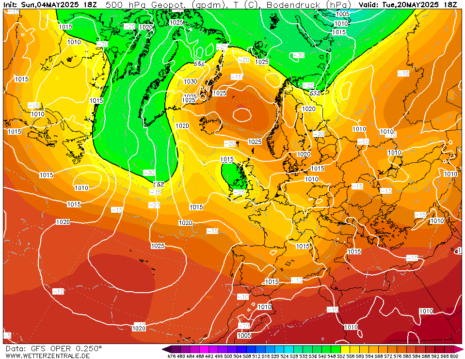
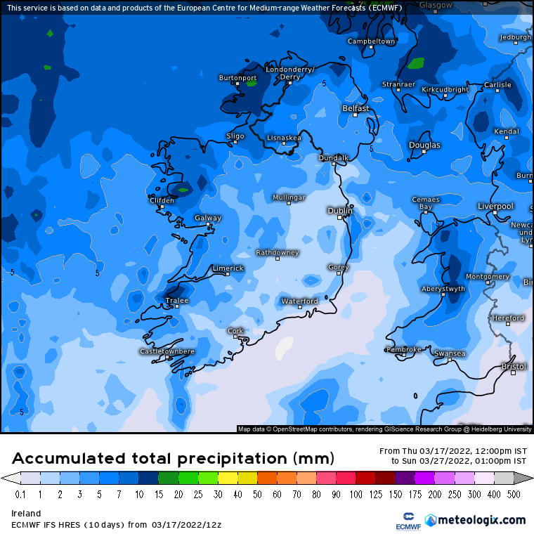
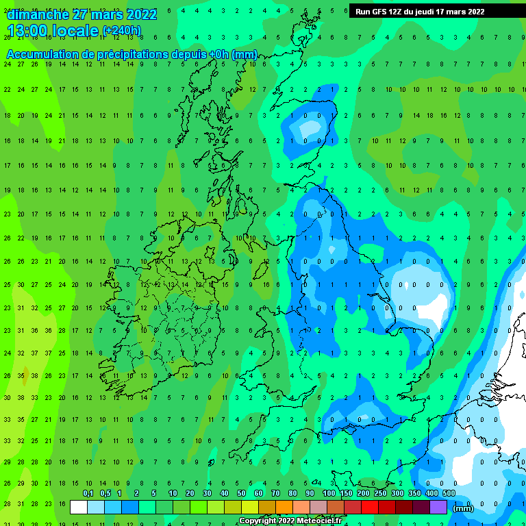
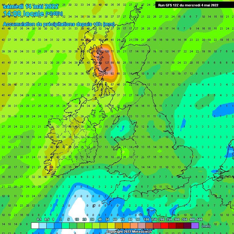
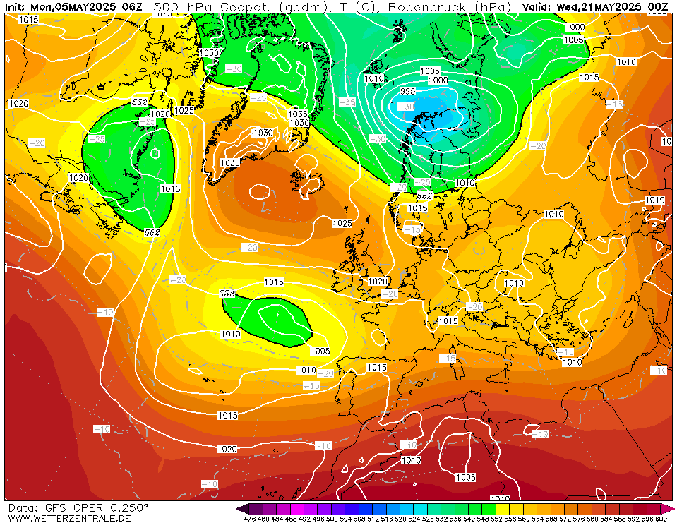
This thread is for posting/discussing/analyzing FI CHARTS ONLY i.e. Charts in the unreliable time frame, generally long range +T120 onward for Spring 2022.
If your post does not specifically relate to a Fantasy Island chart (extended long range charts) then it doesn't belong here - Off topic posts will be moved or deleted.
Thanks
-----------------------------------------------------------------------------------------------
After yet another exceptionally mild winter it is time to move on and look forward to the Spring. How is this Spring shaping up? At the moment it is difficult to tell how settled or unsettled March will be. I think it will be a mostly zonal and mild month, similar to the previous winter months. However the PV should weaken and this may allow blocking to form at some point leading to some cool days at times during March and April.
March will start off drier than the very wet February and this will be needed to dry out the waterlogged fields. It won't be completely dry however, there will be some rain or showers at times especially in the west and north.
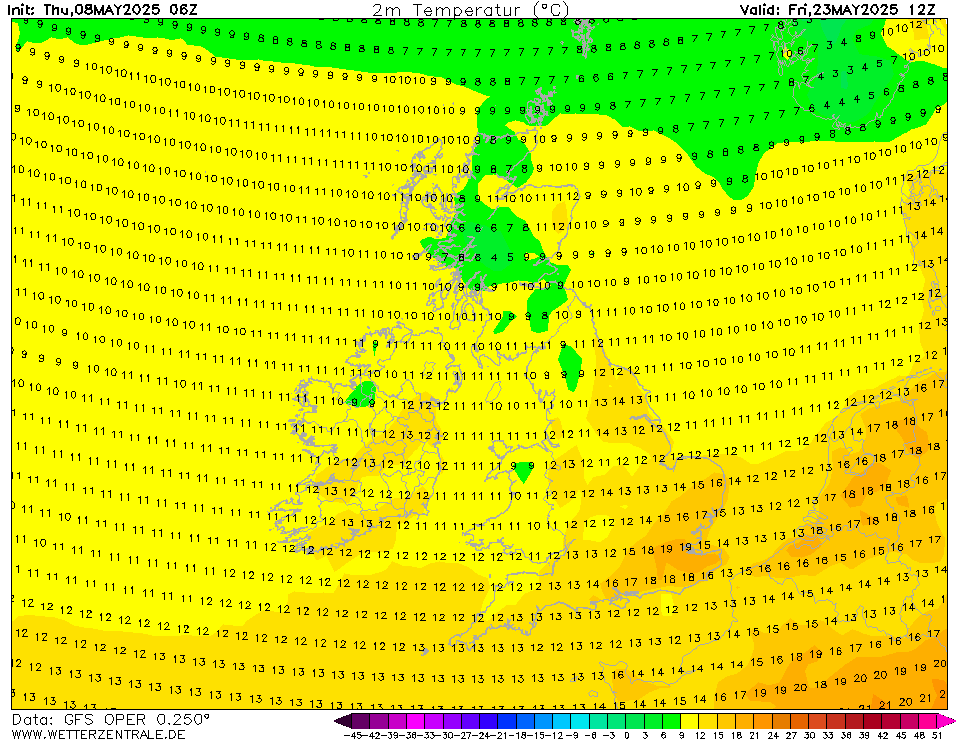
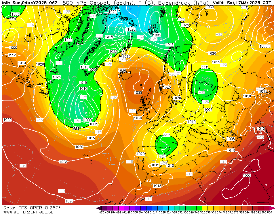
The GFS wants to bring us high pressure as we head towards mid month with possibly some very mild air feeding up from the south.
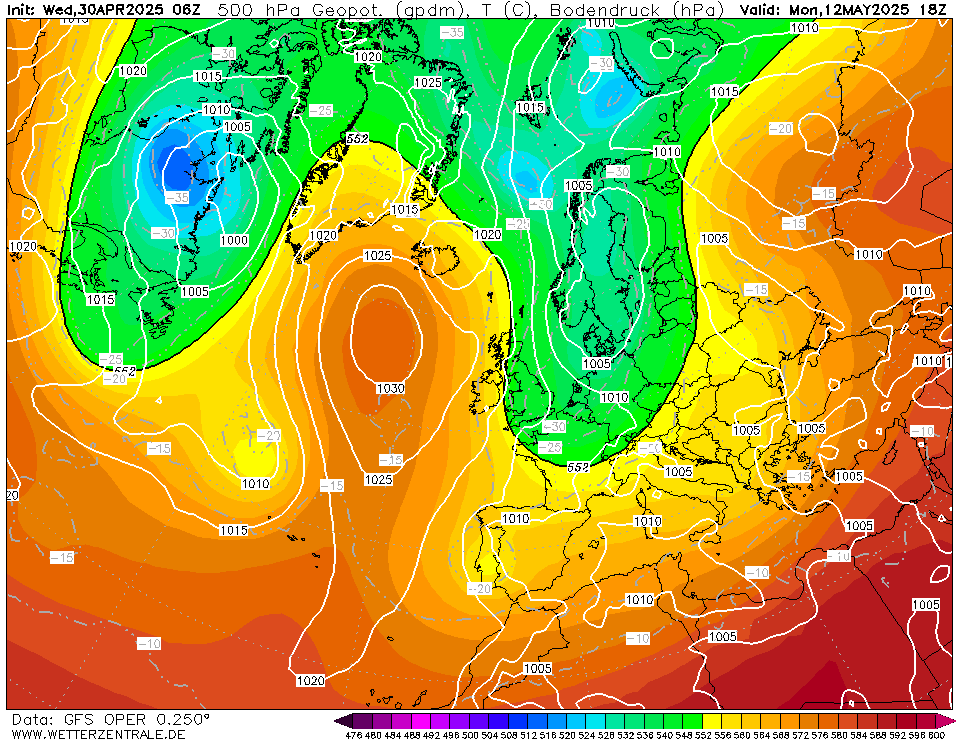
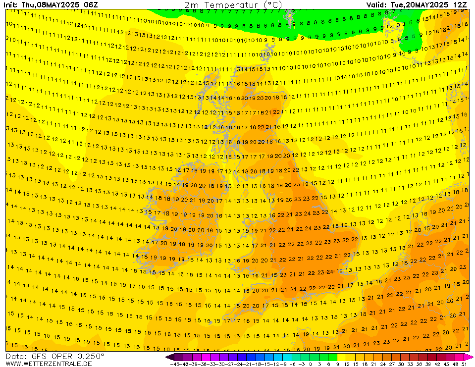
We finish up with a very mild south-westerly dragging very mild air over us and keeping the Atlantic fronts just off to our north-west.







![Photo of [Deleted User]](https://w4.vanillicon.com/v2/44c0fea99ef280e7cbd83d135802cbc0.svg)