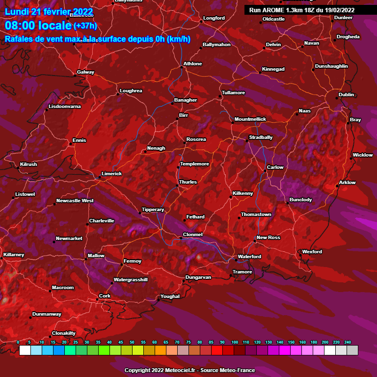
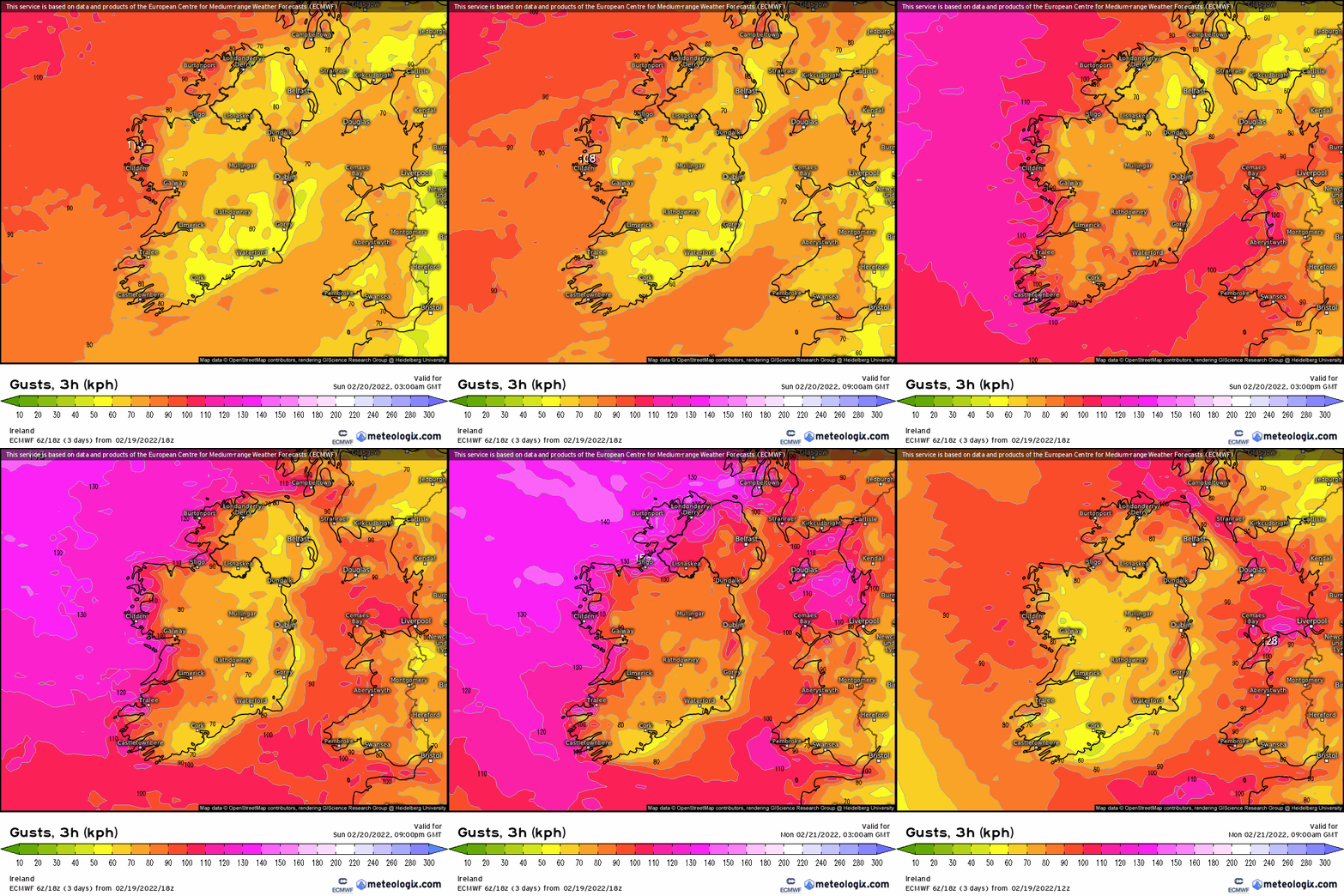
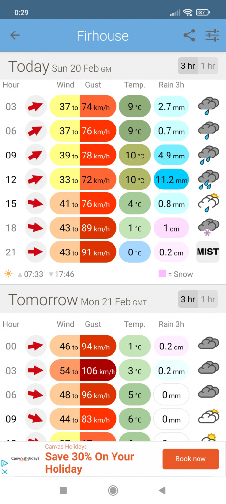
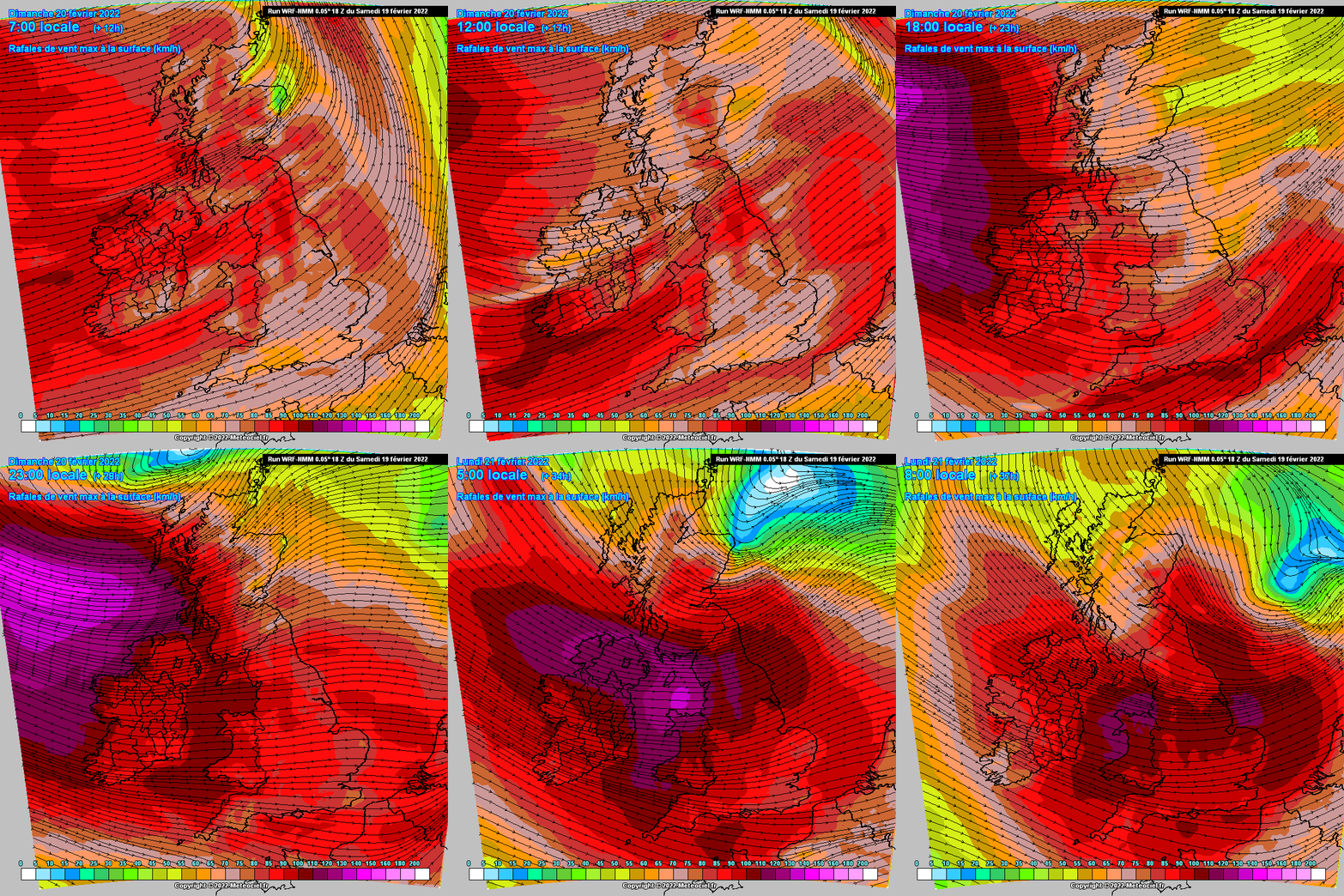
Thought it might be worth starting a thread as the weather models have upgraded the wind strengths for Sunday and especially early Monday morning, Met Eireann gave Donegal an Orange warning today and will see if the models raise the wind speed predictions.
Again a fast moving system which is very low at 955 hPa when the center is just S of Iceland and about 961hPa when the main center is off Scotland, looks like a second low with a very tight gradient is coming more into play producing the very strong winds later Sun night into Mon in the top third / half of the country.
As said in the charts to +120hr thread surprised to see the GFS increase the wind speeds so much since the earlier runs, ECM not as strong in over Ireland away from the coast, will it follow suit.
Exceptionally high seas also possibly leading to coastal flooding.
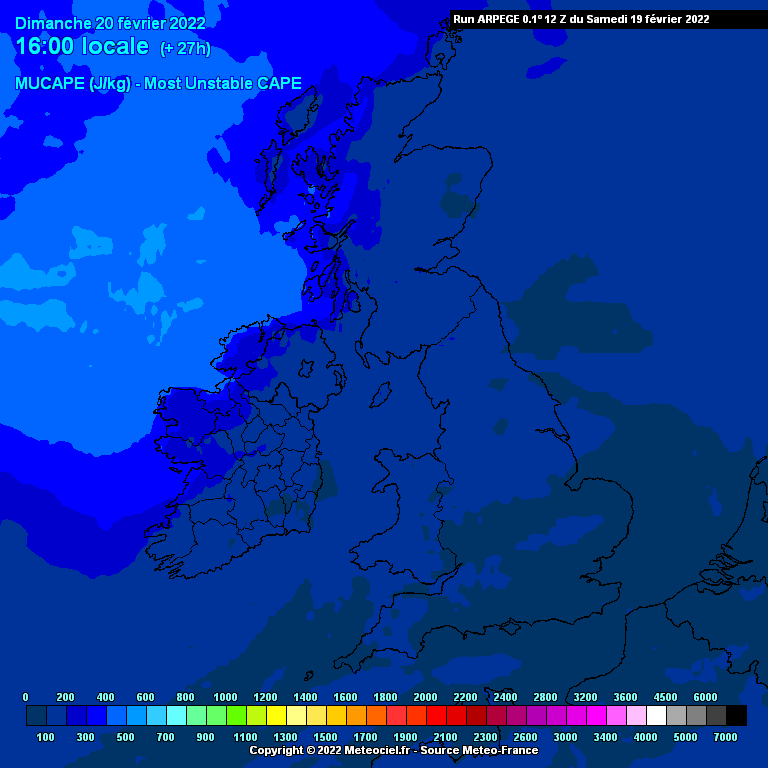
After the milder start turning colder from the NW tomorrow with thunderstorm potential in the unstable airflow with wintry showers and hail possible.
Looks to me like a particularly rough combination of weather elements tomorrow and especially towards night into early Monday morning.








![Photo of [Deleted User]](https://w5.vanillicon.com/v2/56b3a06a656b46158dbd1e890d4dc0de.svg)
![Photo of [Deleted User]](https://w4.vanillicon.com/v2/44c0fea99ef280e7cbd83d135802cbc0.svg)