Hello friends!!! seems like a while since we've had something interesting to focus on! 🤗
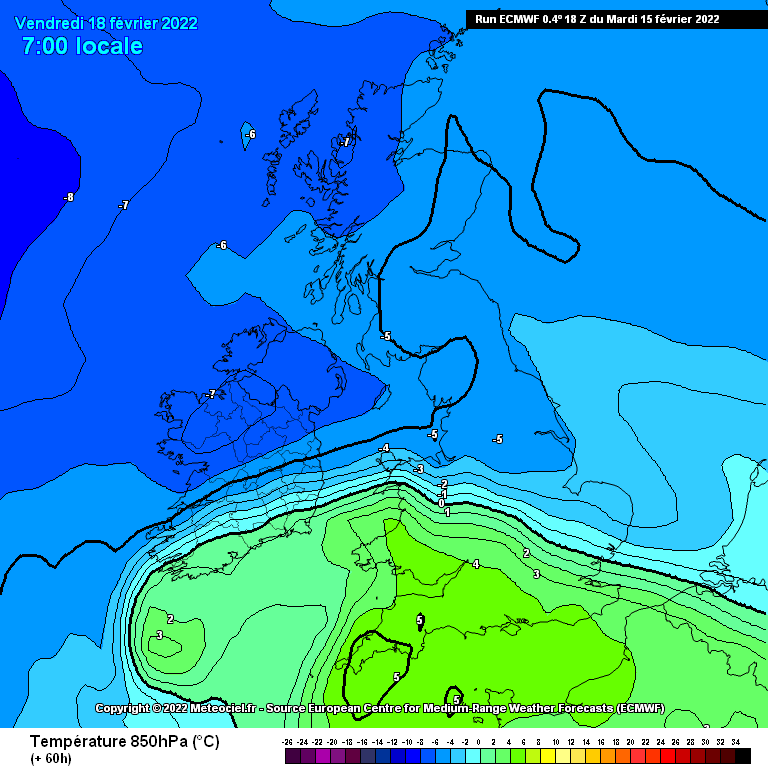
This system which will begin developing and scooting this way overnight Tuesday from the southwest and go in to a period of rapid deepening as it approaches by Thursday requires enthusiastic eyeballs on it.
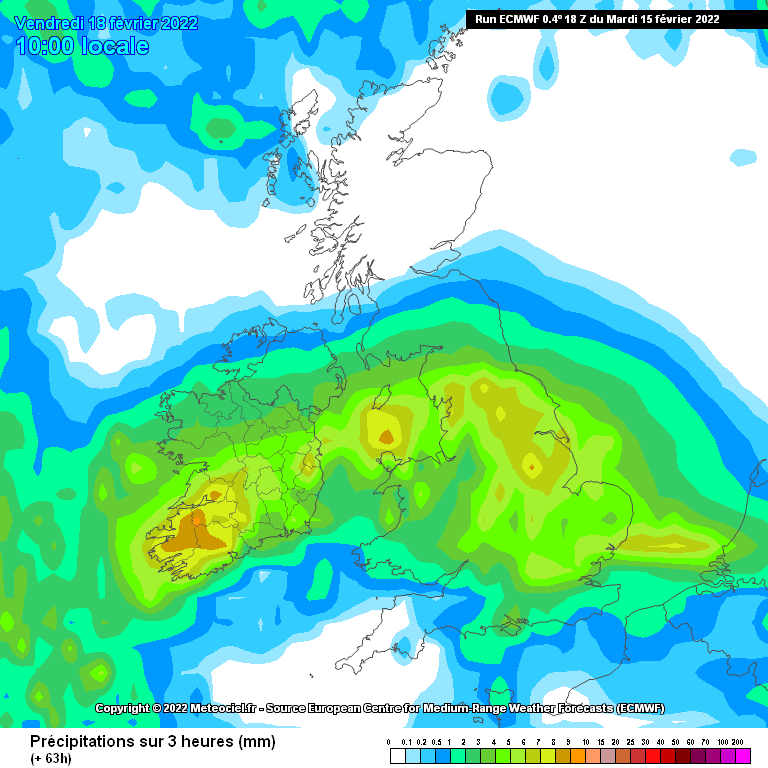
Could get very interesting by late Thursday evening/Thursday night/Friday - potential for heavy rain, snowfall and markedly increased winds for a time, stormy conditions potentially. I think there is no harm having a thread on this given we've been struggling for anything remotely interesting to mention really this winter so far.
Potential hazards and warning levels:
Strong Winds: ORANGE
Snow: ORANGE
Rainfall: YELLOW
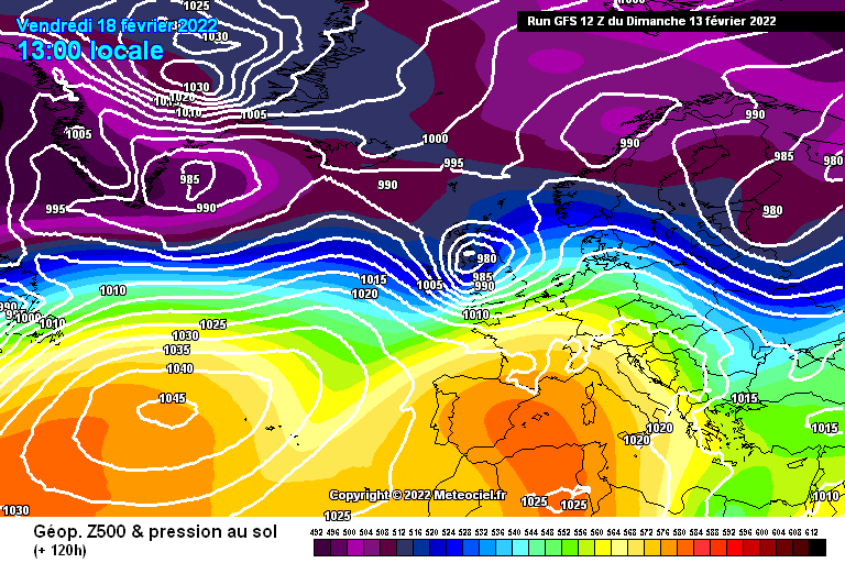
GFS synoptic profile prediction Friday Afternoon, tight gradient and cold air in place both immediately ahead and behind the system:


As regards the rain risk - that's a given anything between 25 and 50mm in some places Thursday night and through most of Friday. Again dependent on track of the system. Some local flooding would seem a high enough risk.
The snow risk is certainly there but it's a question of where? Some models have the best chance in the north and west, others further south. It all depends on the track and it's too far out for meaningful forecasts for now but i'd say a snow event of whatever sort is a significant risk at the moment and that could be anywhere right now. This is the UK Met Office but there is a lot of different outcomes.


That's just one possibility, other models like I say this further south and that's vital for where see's the most snowfall. Some models like the ECM have things a bit too far north really so far.
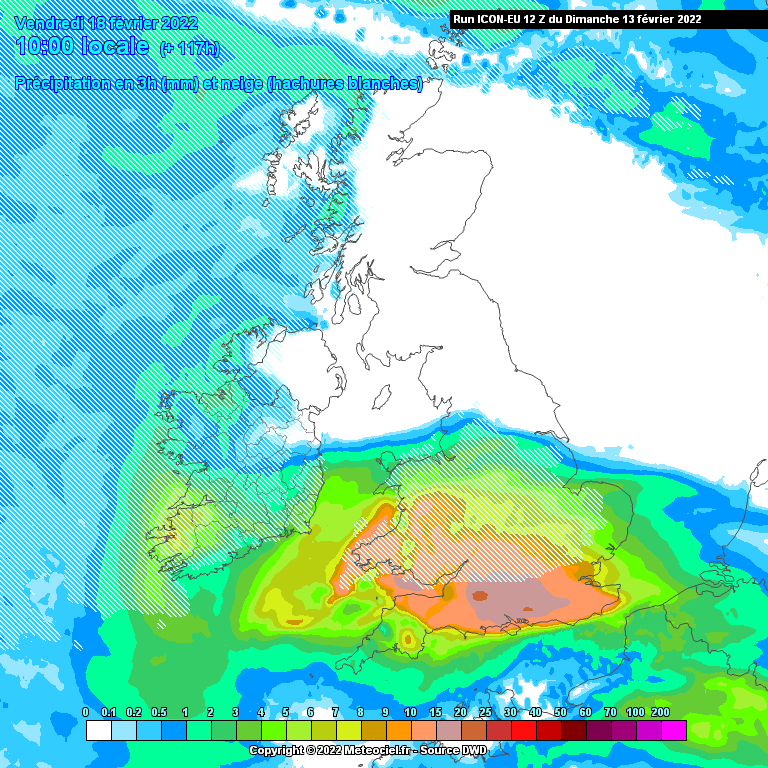
We'll have to keep an eye on the track and the evolving projected depth of this system and see the evolution in the next couple of days.
A significant event is possibly developing here but we'll see. 🙃

![Photo of [Deleted User]](https://wc.vanillicon.com/v2/c50f1c871638bccbbf9aa952593dd0cd.svg)


![Photo of [Deleted User]](https://wb.vanillicon.com/v2/bd89cdce15309a6ec2dff928c865017a.svg)
![Photo of [Deleted User]](https://w0.vanillicon.com/v2/0e54e8024b002427df3ce2953d22b721.svg)