Mod Note
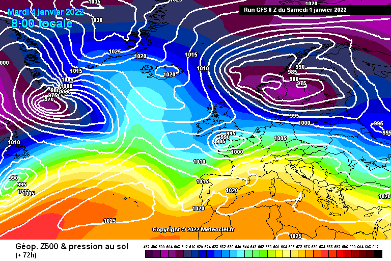
This thread is for posting / discussing /analyzing charts up to T120 ( in the more reliable time frame) for Winter 2021/2022.
If your post does not specifically relate to the charts then it doesn't belong here off topic posts will be moved or deleted- please use the Spring Discussion thread for general chat.
Thanks
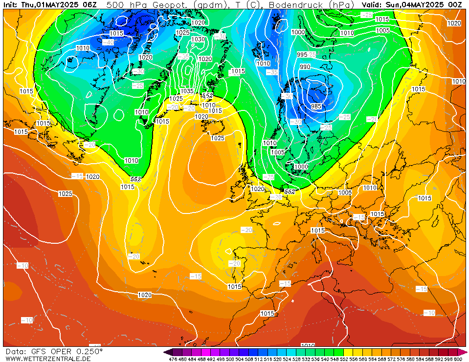
With only a day left to go in Autumn I felt the time was right to open the Winter short range model thread. After a very chilly weekend the final 2 days of Autumn will end on a mild note. We begin Winter on Wednesday and it will turn colder again as winds plunge down from the north.
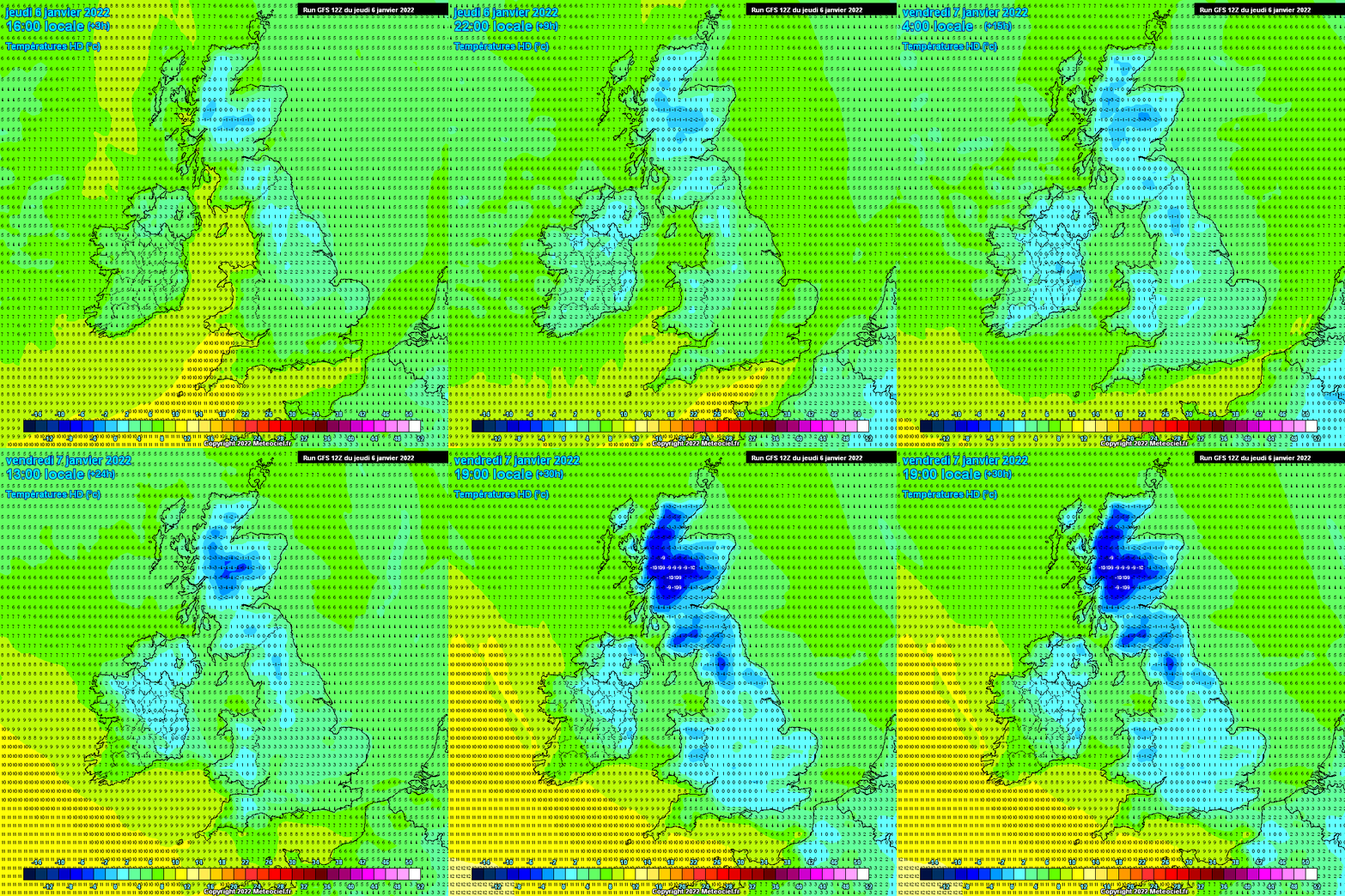
On Wednesday and Thursday temperatures may struggle to get much past 5C so it will feel fairly chilly in those northerly winds.
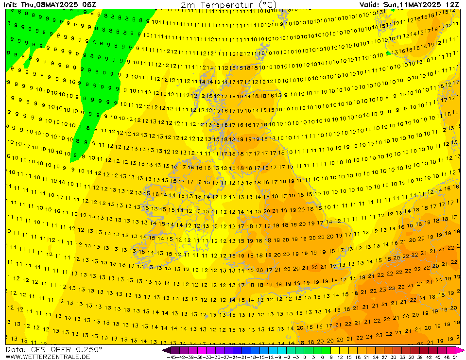
Temperatures will stay fairly cool between Wednesday and Saturday particularly over Leinster and Ulster with temperatures struggling in single digits with a chilly north-west airflow up to Saturday.
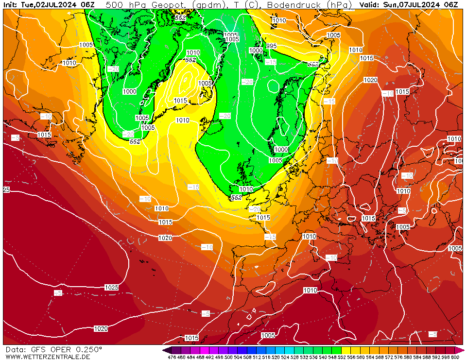
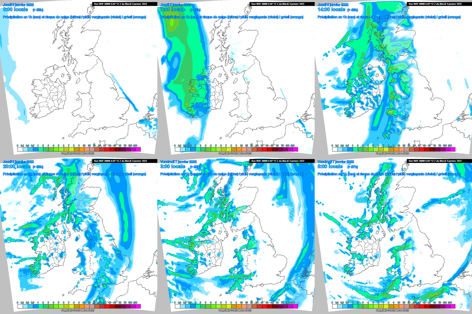
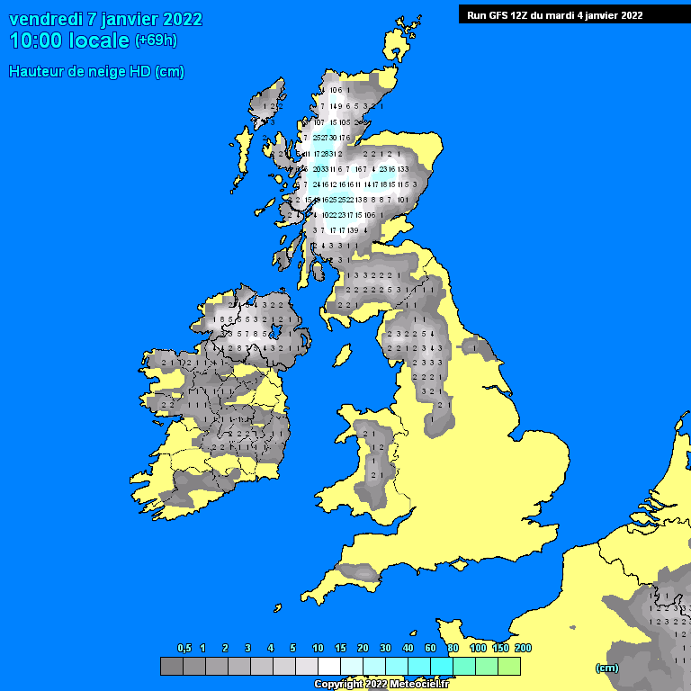
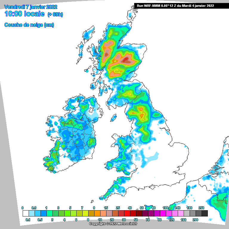
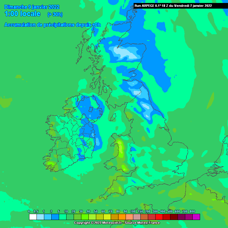
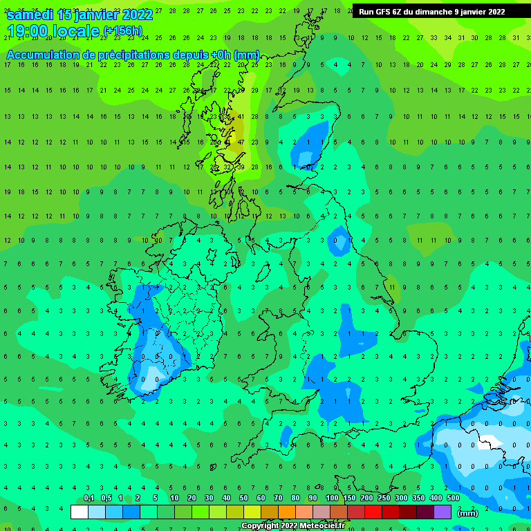
Rainfall amounts look mostly light across the east and south with about 10mm of rain expected between now and Saturday but western and northern areas could see quite a bit more than this, possibly up 50mm of rainfall there close to the coasts. From Wednesday precipitation could turn a bit wintry across high ground particularly in the north-west.


![Photo of [Deleted User]](https://wb.vanillicon.com/v2/b78264a0e13e5e3a27935691920a2390.svg)