Mod Note
This thread is for posting/discussing/analyzing FI CHARTS ONLY i.e. Charts in the unreliable time frame, generally long range +T120 onward for Autumn 2021.
If your post does not specifically relate to a Fantasy Island chart (extended long range charts) then it doesn't belong here - Off topic posts will be moved or deleted.
Thanks
Summer 2021 is over and thankfully it brought a huge improvement compared to 2020. August was the poorest month of the summer but we did get 6 sunny and warm days towards the end of the month. It turned alot cooler in the final days of the month with chilly easterly/north-easterly winds and banks of cloud. We are still in this setup as we start September with plenty of cloud and temperatures around average or a little bit below.
The current dry and cloudy spell will last another few days before we see some changes happening. There is alot of uncertainty in the models but currently the GFS has it turning briefly warmer early next week with another ridge of high pressure and winds from a warmer wind direction than we have currently.
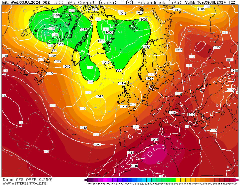
This could get temperatures back into the high teens or low twenties in the early part of next week.
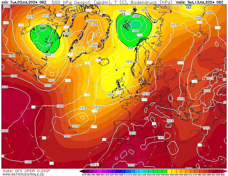
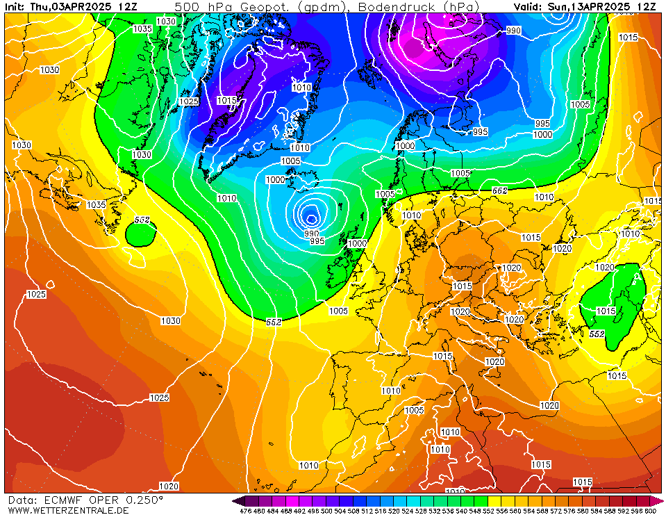
The GFS attempts to bring in much cooler and more unsettled conditions from the north west establishing an autumnal flavour to the weather.
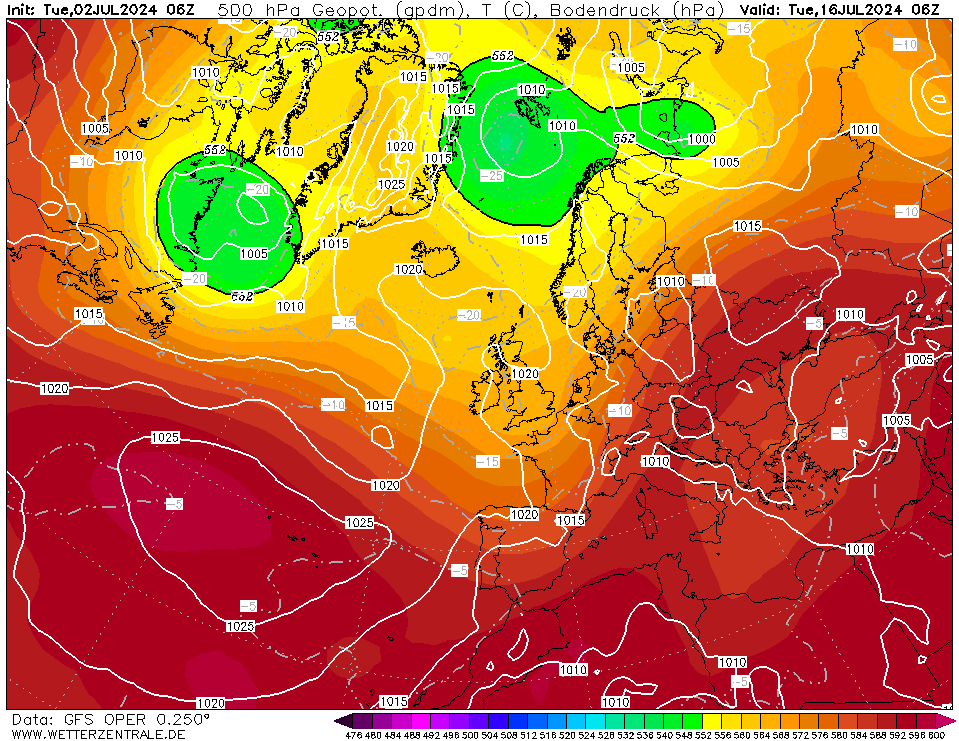
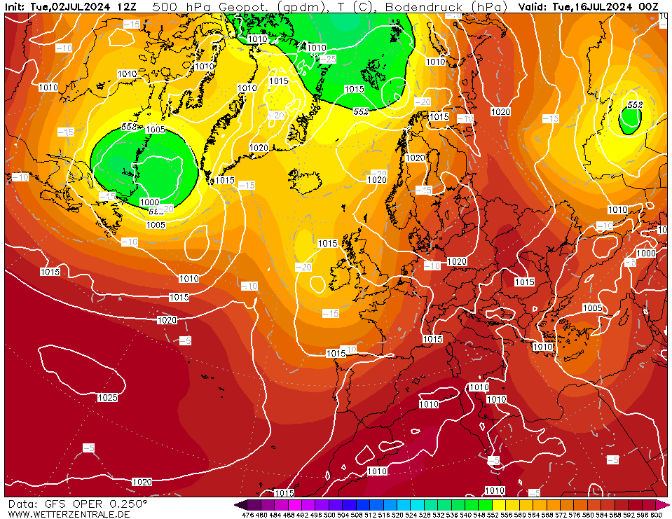
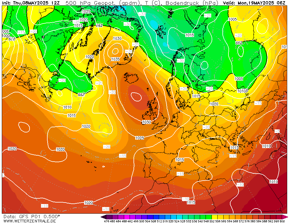
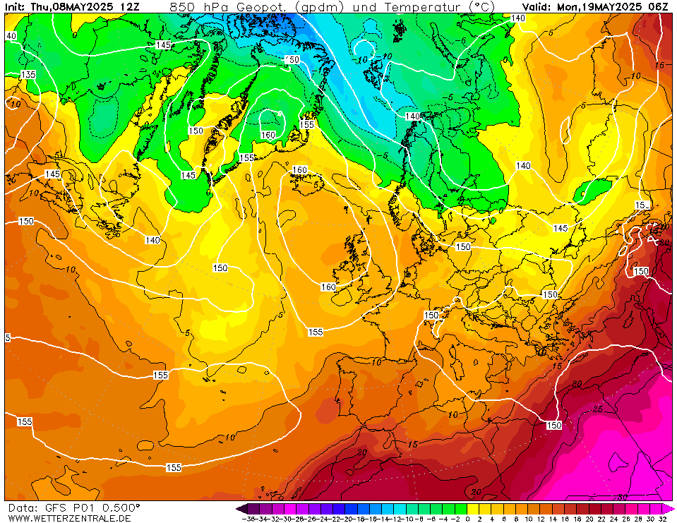
By the middle of the month the GFS brings back the Azores high with plenty of dry weather, so the unsettled conditions may not last long and may not happen at all with so much uncertainty in the models after this weekend.

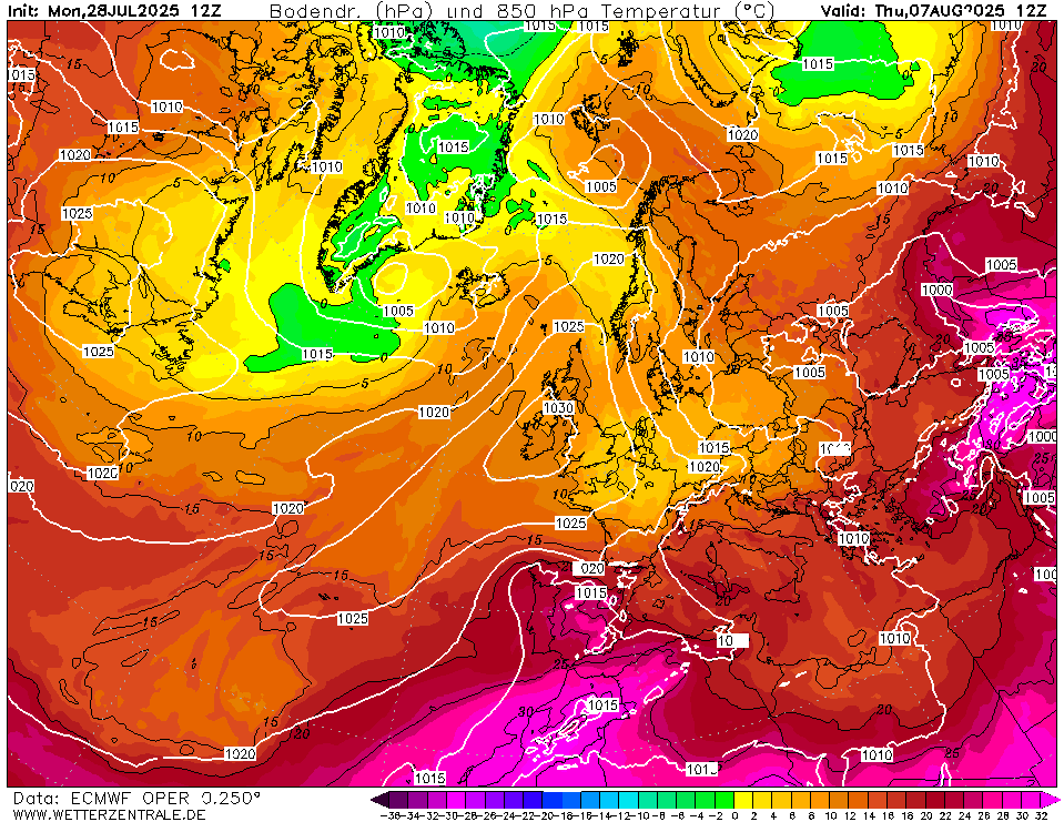
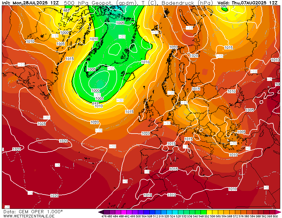

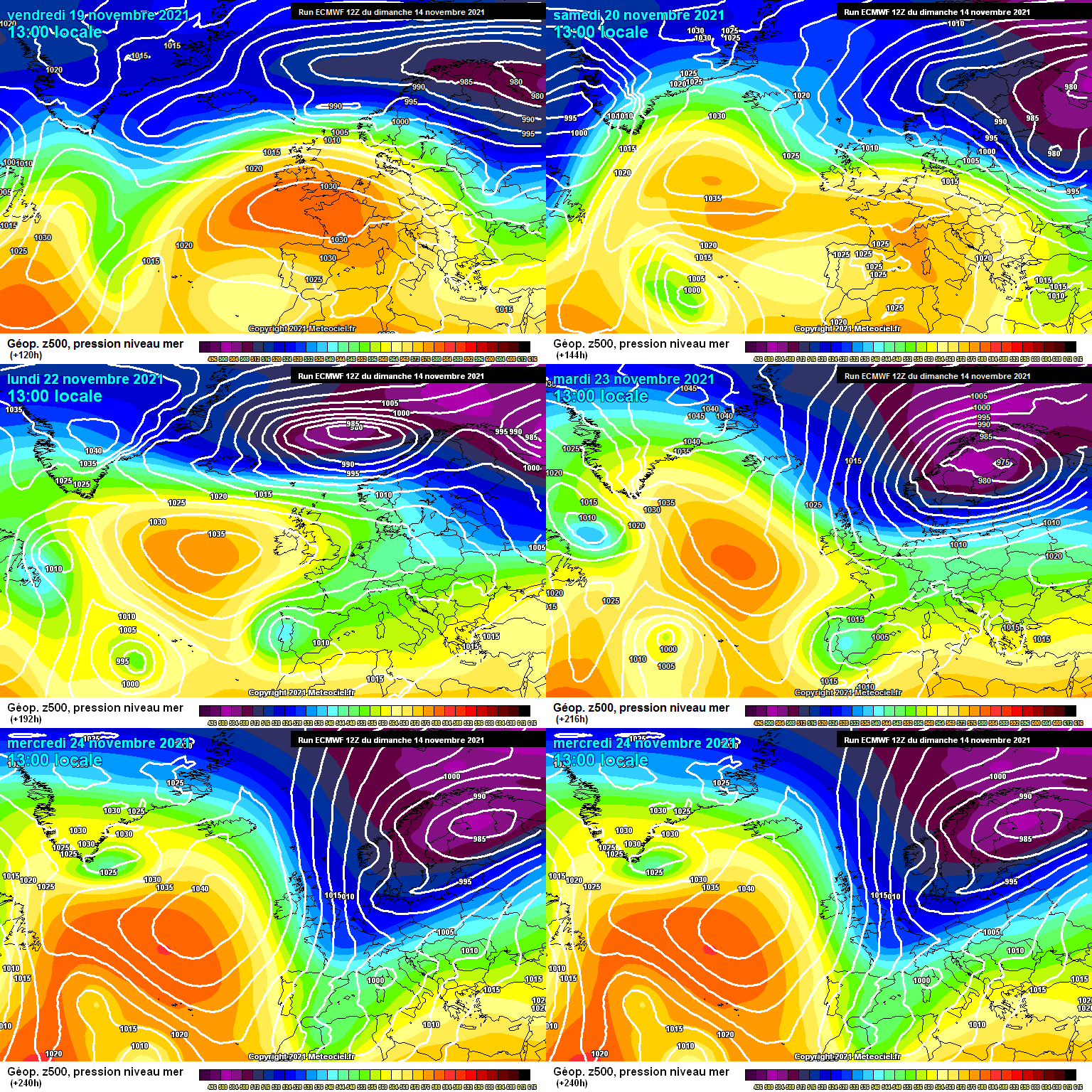


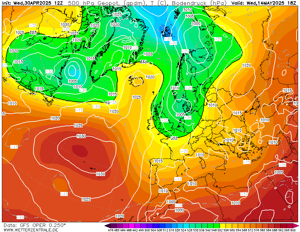




![GFSOPUK12_378_17[1].png](https://us.v-cdn.net/6034073/uploads/AJKG1V3HS2WD/gfsopuk12-378-17-5b1-5d.png)
![GFSOPUK12_351_25[1].png](https://us.v-cdn.net/6034073/uploads/N8TSS6QK4BKT/gfsopuk12-351-25-5b1-5d.png)



![Photo of [Deleted User]](https://wb.vanillicon.com/v2/b78264a0e13e5e3a27935691920a2390.svg)

