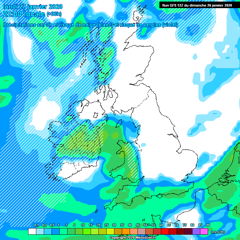
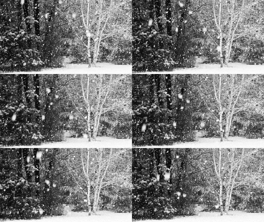
Much colder from Sunday evening with heavy showers in a polar maritime air mass turning to sleet and snow from the west. Some thunder/hail is likely occasionally in western parts.

Potential cause of disruption:
snow showers
Areas most at risk:
Munster, Connaught, Ulster, North Leinster
Accumulations of between 2 and 5 cms likely particularly across north Connaught and Ulster but all areas are at risk of some snowfall.
Daytime temperatures generally between 0 and 4c. Night time values between -4 and 0c.
Wind chill values anywhere between -8 and 0c between Sunday night and Wednesday afternoon (feeling rawest through Tuesday)
Icey at times and frost in sheltered areas from the wind further east.
:cool: