Coles wrote: » @slowburner. Yes, I suspected you might. My collection is available whenever a study is done of the area.
mocmo wrote: » shall be guilty of an offence under this section and shall be liable on summary conviction thereof to a fine not exceeding ten pounds.
mocmo wrote: » It is not your collection, it is the property of the state and Boards.ie shouldn't be encouraging individuals to gather and retain archaeological objects, it is against the law.
Wibbs wrote: » One presumes there's an updated version of that as we haven't used pounds/punts in a while.
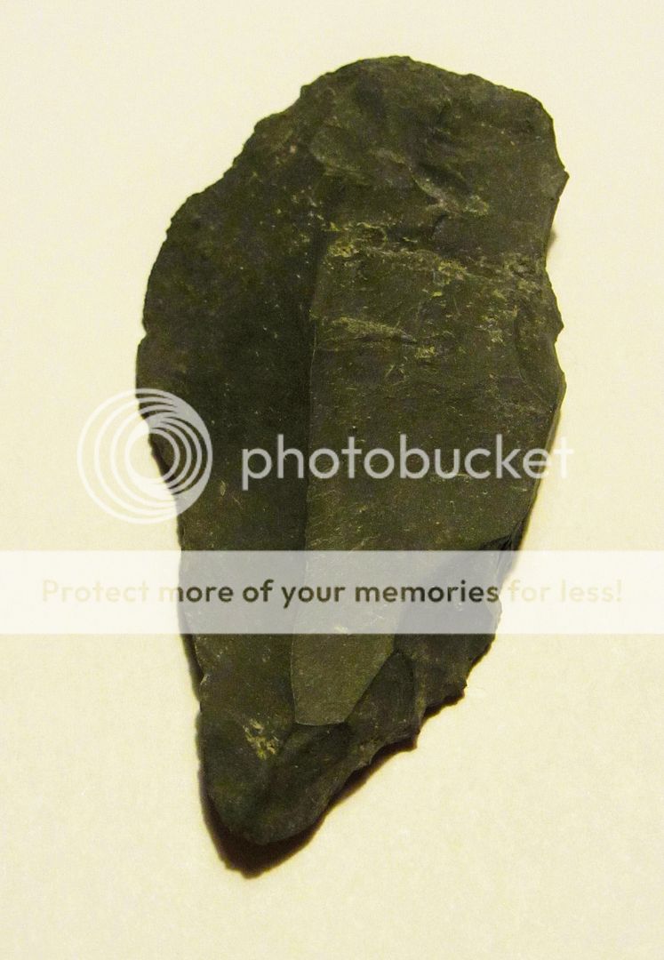
Standman wrote: » Roadworks on a street in Mullingar uncovered these. Guy who sent me the pic reckons they're old cobblestones. Not sure myself. What do ye think? Yes, old cobblestones. I found some several years ago when I was monitoring drainage there
Standman wrote: » Roadworks on a street in Mullingar uncovered these. Guy who sent me the pic reckons they're old cobblestones. Not sure myself. What do ye think?
Standman wrote: » That's interesting. So it's some kind of drain as opposed to a path, is it? Any idea how old that would be?
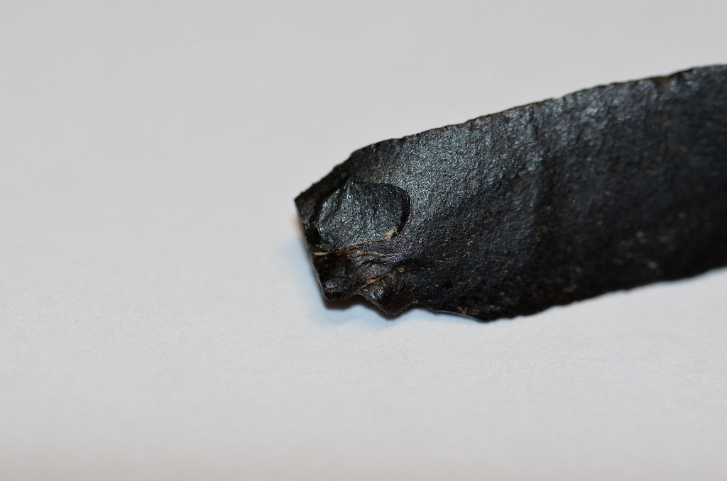
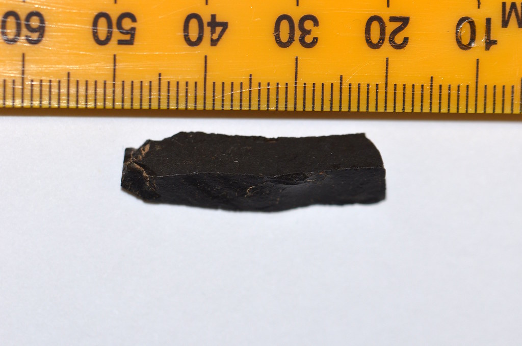
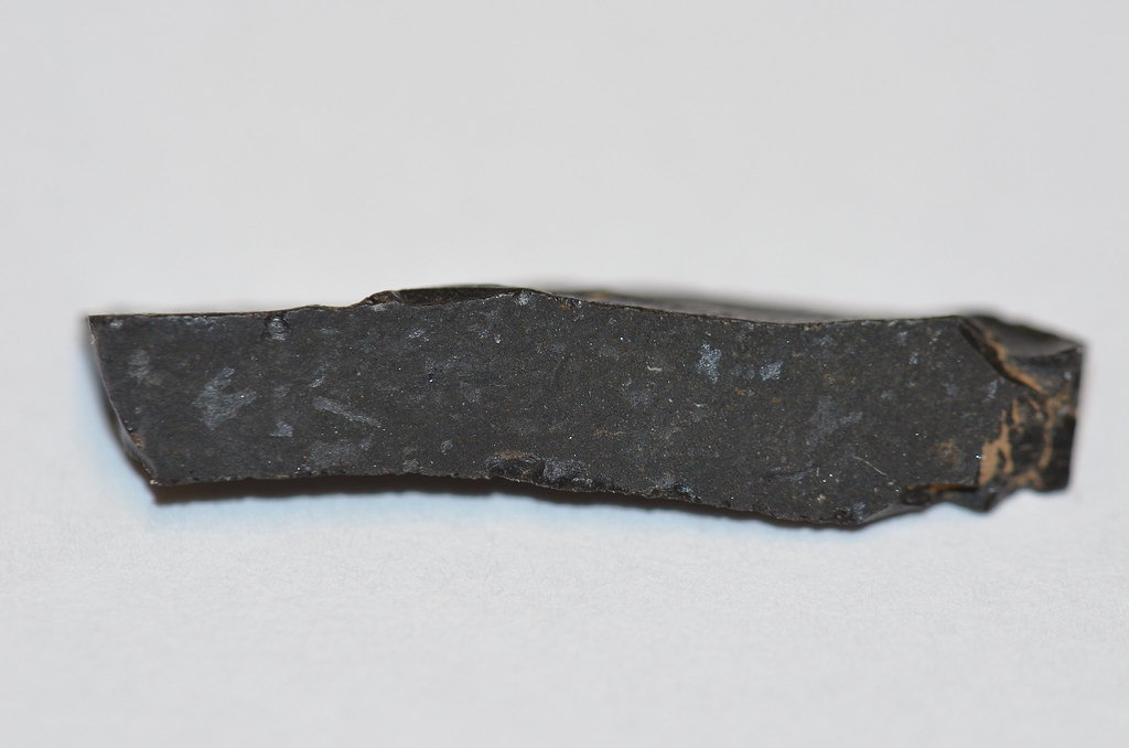
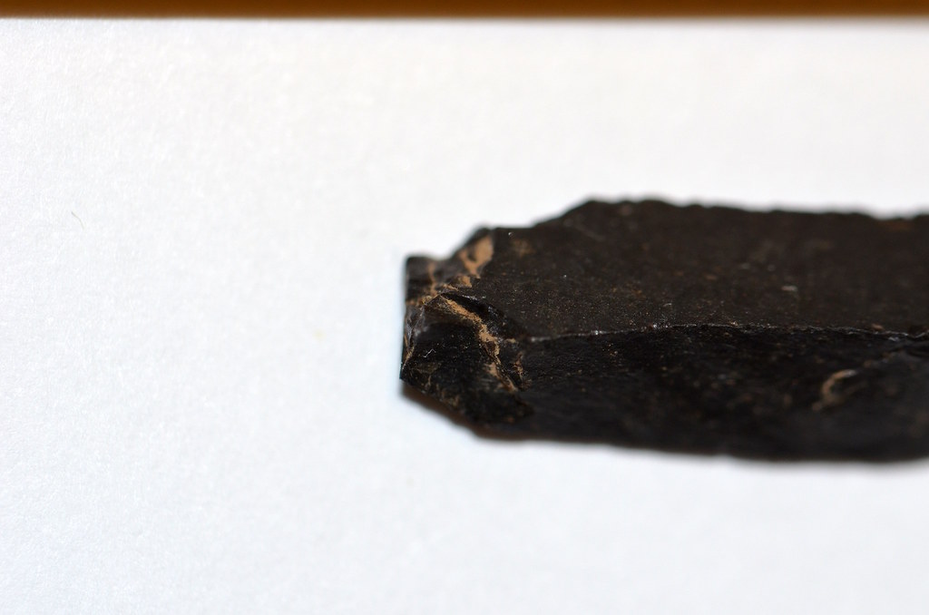
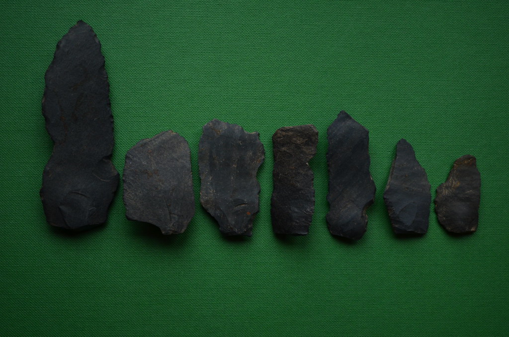
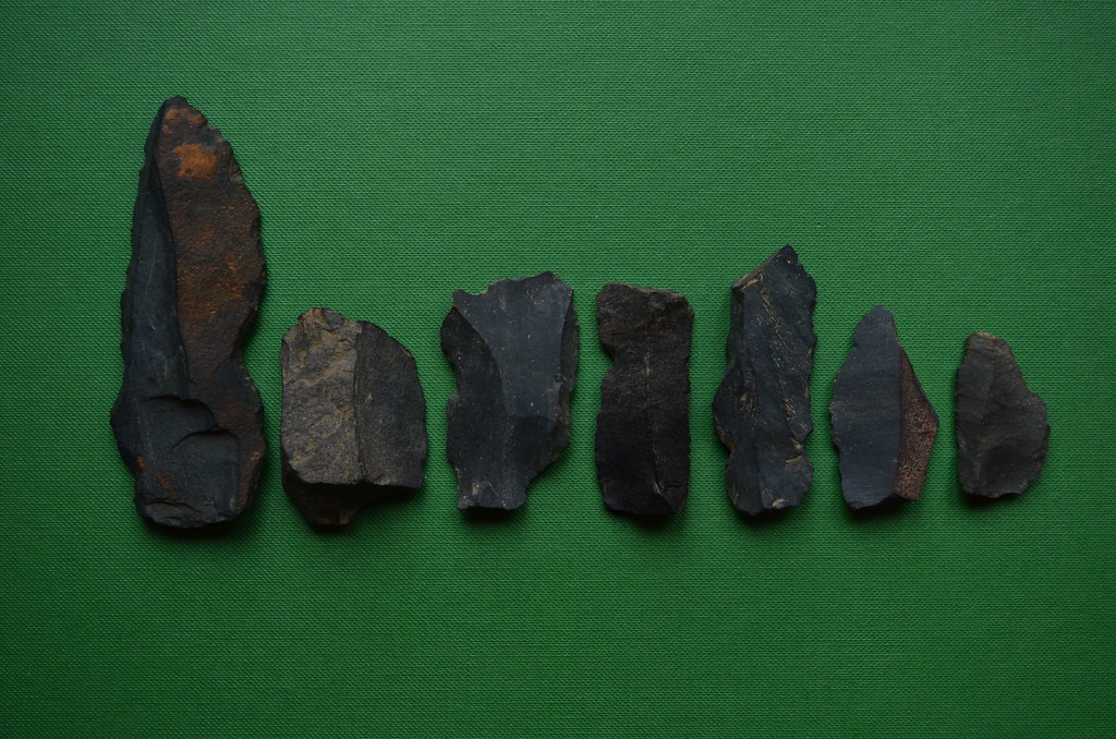
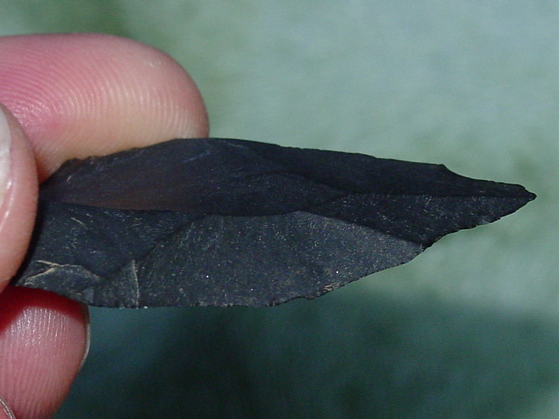
Coles wrote: » While they still need the confirmation from the experts it's likely that this blade is Derravaragh Chert and dates from 4000-4200 BC. The source of this rock was well over 100km away from where it was found. All these stones are now with the National Museum.
'Festooned or Derravaragh chert sensu stricto is geographically highly restricted in its primary geological contexts, with the unit occuring in the Lough Owel Syncline, running from near Mullingar northeastwards to Castlepollard (Morris et al. 2003, 64) and forming a distinctive topographical feature including rocky precipiced sharp hills (Neville 1958).'
HoteiMarkii wrote: » It looks like a Rath. If you visit the Northern Ireland Environment Map Viewer you should be able to find out what this enclosure is. I had a quick look myself and it appears to be in the townland of Knockbarragh which is showing two possibilities: SMR DOW051:053 which is a Rath, and SMR DOW051:054 an enclosure. I could be wrong so have a look yourself.
Quickpip wrote: » Hi thank you so much for the reply. I had a look at both possibilities but they are of different sites which are actually not that far away. The site i was looking at grid ref J1719621856 is at a much higher vantage point perched on the side of the hill. Its been a few years since i walked the site as its well off the beaten track. If i could put a few photos up, could that help in trying to identify it?
slowburner wrote: » It would be highly significant if the material for these lithics did indeed come from the midlands. PDF available here (the pdf downloads automatically)
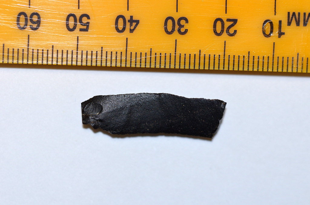
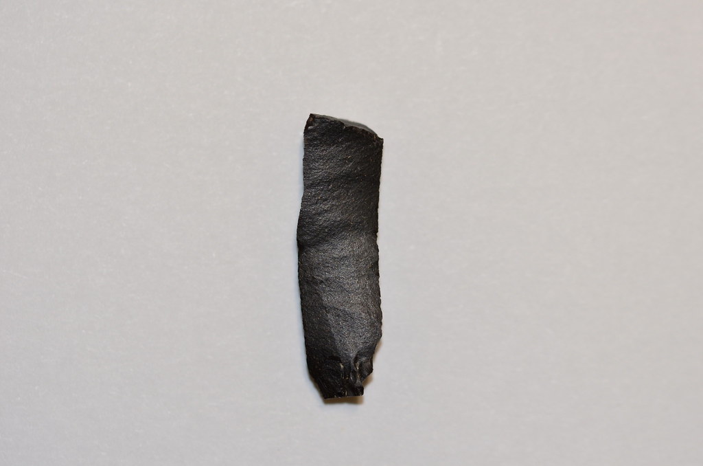
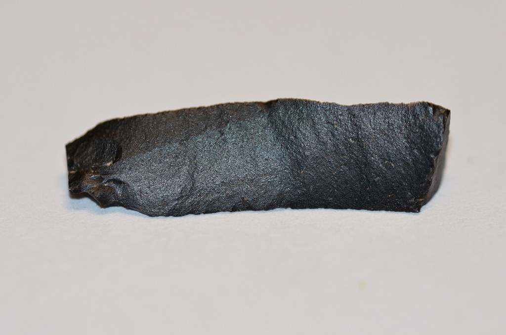
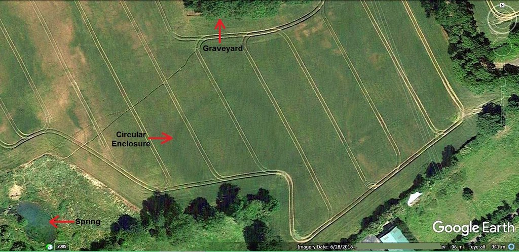
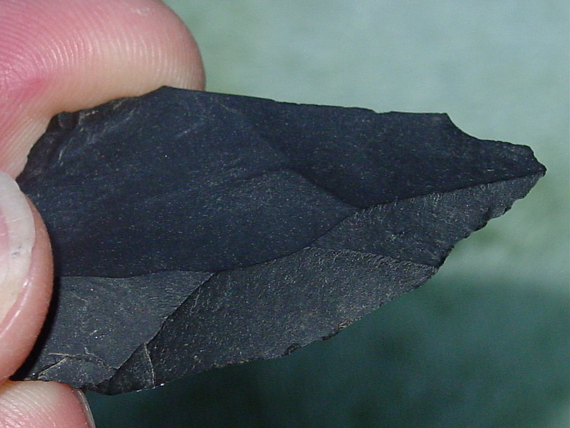
HoteiMarkii wrote: » Not sure if it's chert or silicified limestone. It has been broken at the distal end, and measures 30mm. in length and approx. 8mm. wide. I found it on the surface of plough soil just outside the western edge of a recently discovered circular enclosure. I spotted the circular enclosure (approximately 50 metres in diameter) on satellite imagery several months ago, and it's now on the NMS Sites and Monuments Record database. I'm thinking the 'bladelet' could be Mesolithic or Neolithic in date, perhaps?? ...Circular enclosure
Aelfric wrote: » Looks a touch like basalt as well, apart from the pic showing the dorsal ridge. Could there be another satellite enclosure immediately to the SE?
HoteiMarkii wrote: » I spotted the circular enclosure (approximately 50 metres in diameter) on satellite imagery several months ago, and it's now on the NMS Sites and Monuments Record database.Circular enclosure
gozunda wrote: » Is that one of the Tara related sites revealed this summer due to the drought?
slowburner wrote: » Is the enclosure recorded as bivallate? I'm seeing an inner ditch.