gabeeg wrote: » I think we'll have to wait for that low to pass before knowing with any degree of certainty. Anyways, even if we just get a glancing blow I wouldn't be at all surprised to see another opportunity from the east within a week or two.
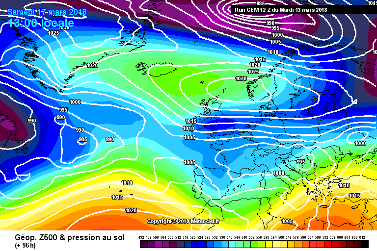
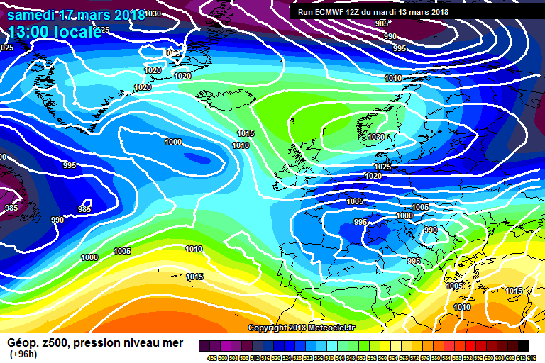
nacho libre wrote: » I think we will be looking north or northeast, not east after monday. A mid altantic ridge looks to be the form horse to see out March. Before that it seems the high is more likely to sink south than go further north, I just hope the ECM and GFS do not eventually fall into line with the UKMO. output.
gabeeg wrote: » uhoh
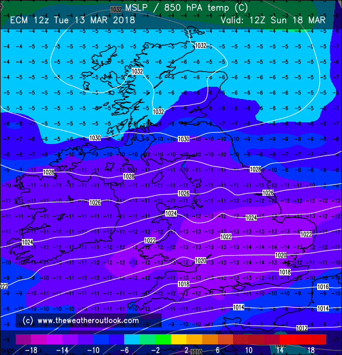
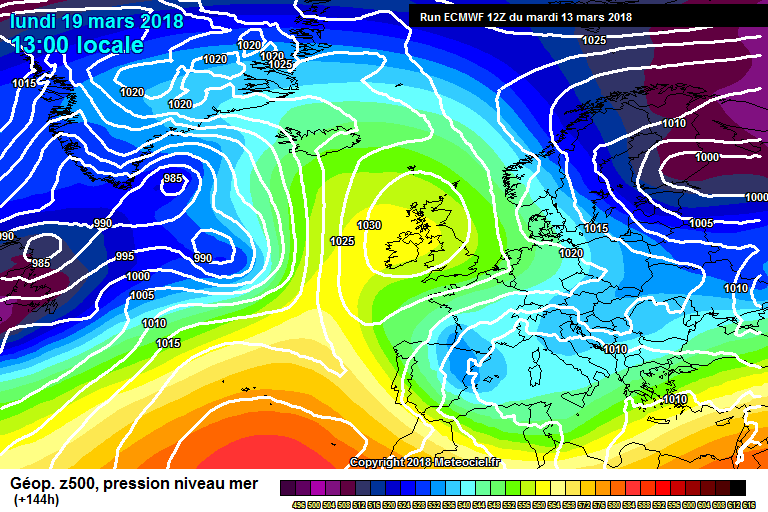
BLIZZARD7 wrote: » By Monday ECM is quite like the UKMO over Ireland, I.e a high in place, cold nights but pleasant sunny days, it is a more amplified pattern though with WAA going north over Iceland.
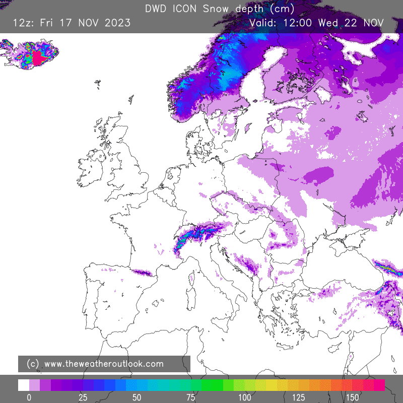
irishfeen wrote: » Is the DWD ICON usually reliable?
Kermit.de.frog wrote: » That's the German met office model. It's been recently upgraded and was very solid for the last cold snap. It's consistent this time around as well. I wouldn't pay that much attention to snow accumulation charts on any of the models though.
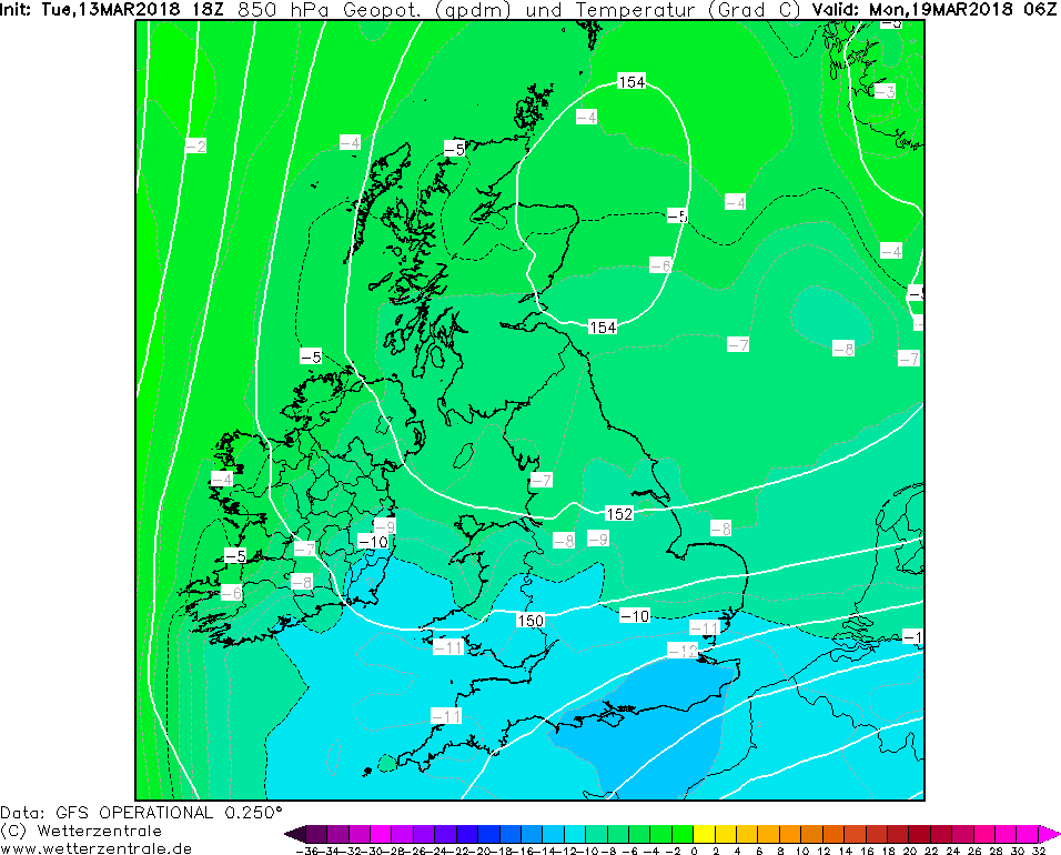
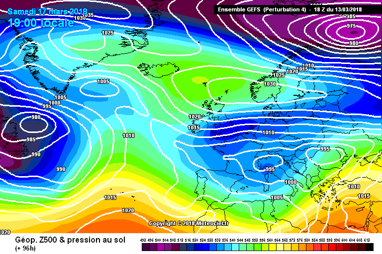
Rebelbrowser wrote: » 18z gfs makes it a blink at youll miss it affair and even then south and east only.
JCX BXC wrote: » Entirely expected though, each and every 06Z and 18Z appears to have the low further south and east than the other, arguably more reliable runs.
Villain wrote: » GFS overnight followed UKMO with cold going south but ECMWF is sticking to its guns