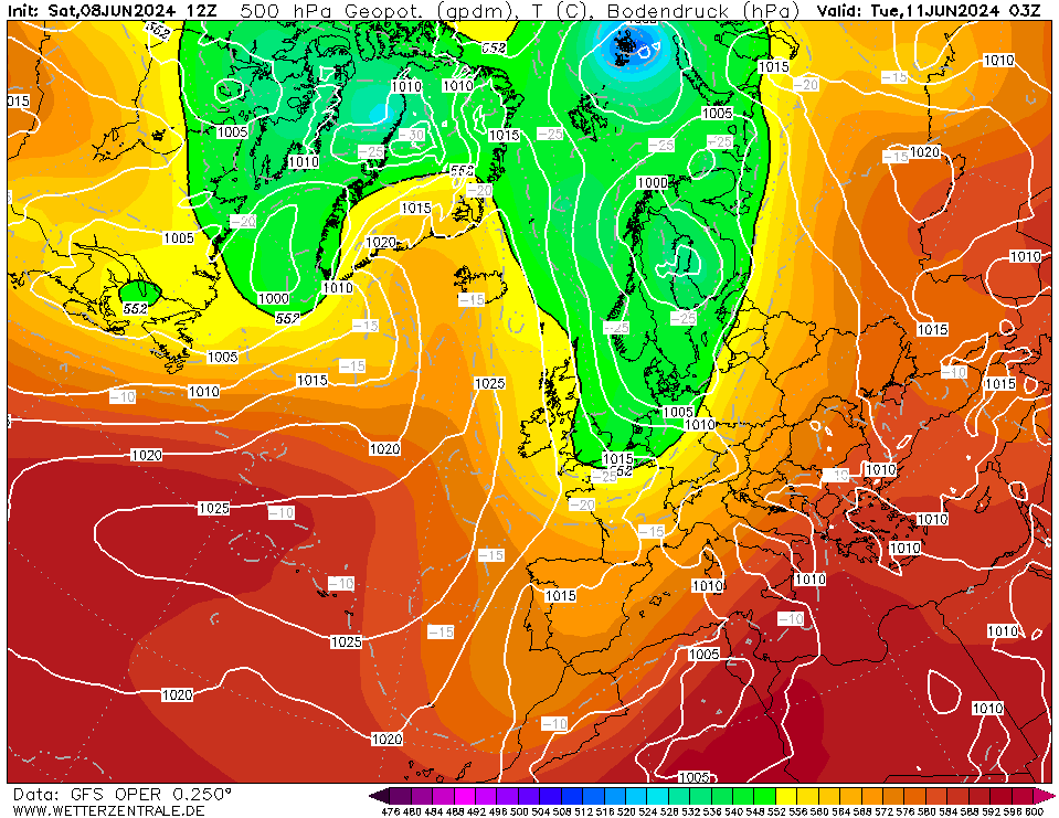
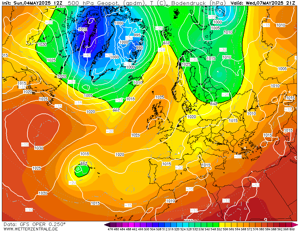
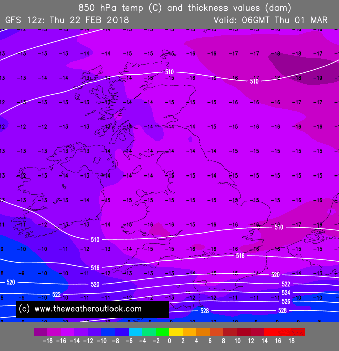
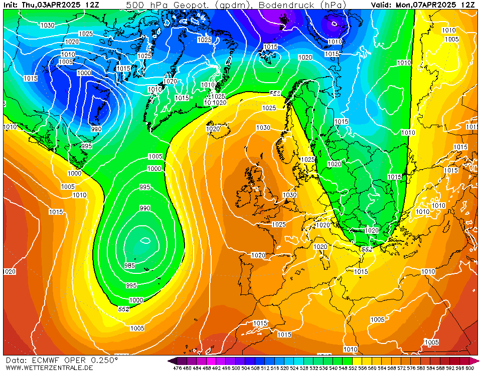
MJohnston wrote: » A question about reading the Geop 500 charts - I know what to look for in the 850hpa temperature charts in terms of snow potential, but what makes a great looking chart for cold/snow on the 500hpa pressure charts? Are we looking for high pressure systems to bring in the cold, dry air and then rely on incoming but blocked low pressure systems or lake effect convection to produce the snow?
lucernarian wrote: » There's also -40 degree air at 500 hPa over Ireland on the current run... :eek: [img][/img]
nacho libre wrote: » could be some prolonged showers of the snow variety around so:D Isn't - 40 air at that level conducive to polar lows forming?
Rougies wrote: » But don't you need a very large stretch of ocean for them to form? I don't think one has ever formed in the north sea in an easterly, needs to be a northerly or NNE'rly.
lucernarian wrote: » GFS 18z should be around now...
Donegal Storm wrote: » Any chance of a technical thread for next week mods? The other thread is a mess, impossible to keep up with and any good informative posts are immediately ]
Donegal Storm wrote: » Any chance of a technical thread for next week mods? The other thread is a mess, impossible to keep up with and any good informative posts are immediately lost.. Not looked at the models since last night but nothing much has changed from what I can see, still expecting a big downgrade every time I have a look but so far so good. The main issue I can still see is the high could sink over us leaving us with a nondescript cold inversion but hopefully hopefully it won't come to that Latest GFS pretty much as we were, cold from Monday with snow potential from Tuesday evening. Still pointless looking at smaller details [IM
Donegal Storm wrote: » The main issue I can still see is the high could sink over us leaving us with a nondescript cold inversion but hopefully hopefully it won't come to that
lucernarian wrote: » ollowed by a Greenland high that's not close enough to block warmer air reaching us 10 days away. Even in that case there would be inevitably an advection of cold air over us if the high builds elsewhere, as the Canadian SSW almost inevitably means. I think it's going to be hard to stop at least one day of very intense cold and snow.
lucernarian wrote: » I would be very surprised if the high sunk over us. All the charts indicate very strongly that the polar frontal jet will be like 1000km too far north for a high to truly sink over us. We'll be south of it. My fear is mainly having the high come close enough to stifle serious precipitation, followed by a Greenland high that's not close enough to block warmer air reaching us 10 days away. Even in that case there would be inevitably an advection of cold air over us if the high builds elsewhere, as the Canadian SSW almost inevitably means. I think it's going to be hard to stop at least one day of very intense cold and snow.