nacho libre wrote: » phew. Much better I need a drink after waiting for this run.
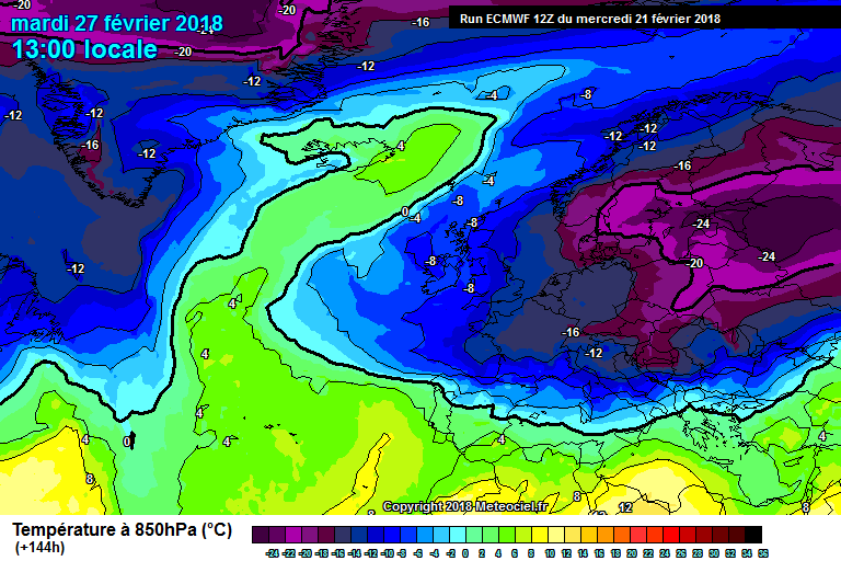
BLIZZARD7 wrote: » Not the first run today to show a potentially very good snow event days 8-10 sort of timeframe.
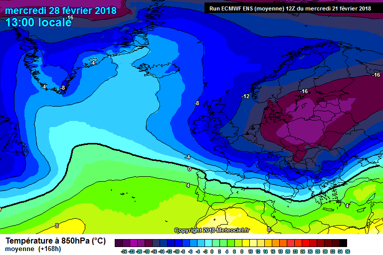
snowstorm445 wrote: » All hypothetical obviously but given the cold temperatures at the surface what sort of uppers would be required for that to turn to snow? Would it need to be the standard -8 or could it conceivably fall at a higher temp (thinking of the south coast there in particular)? Not sure it would be as marginal as your standard northwesterly.
JCX BXC wrote: » Ignoring the low pressure just to the South of Ireland bringing NE/E winds and likely snow are we?
pistolpetes11 wrote: » Yup I don't think it looks that bad at all to be honest
nacho libre wrote: » He is focused on the longetivity(?) of the cold. If a west based nao does comes to pass it could happen. For me it's like the netweather posters back on December 16th 2010 immediately focusing on the breakdown in fi, rather than nine days of snowy charts before it. It might sound cheesy, but this is a classic example of learning to enjoy the moment- and as we all can see those ecm charts would bring much joy to us snow mad folks for four or five days!
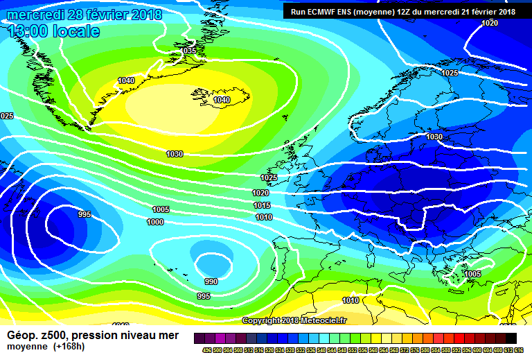
Elmer Blooker wrote: » Awful ECM, the block moves so far west .... well, its no longer a block. Well into FI but a dog's dinner of a chart.
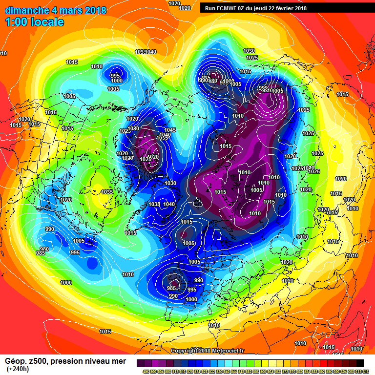
JFKIRELAND wrote: » Guys, Can someone educate me here. I understand all of your excitement with the various runs - I'm in too. However, I have it in my head that anything above 528 DAM is not great for snow. 530's can produce if the air is cold enough (which it likely will next week) but 540 - 550 DAM as in the UKMO chart above? Am I missing something?
Elmer Blooker wrote: » Correct. This 06z is quite similar to the chart I posted earlier, blocking to N and NE gone. Everyone has different expectations from this coming spell and mine is for a memorable long spell after a SSW of such magnitude and not a snap lasting about a week at most.












![Photo of [Deleted User]](https://w2.vanillicon.com/v2/23cbe5e5e50cebb31e4a86160a77c62d.svg)


