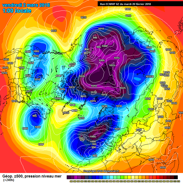
Mullaghteelin wrote: » It doesn't disappear, it retrogressing westward. The stratospheric warming has put everything in reverse, so the high moves westward over time. The northerly about to hit us on the ECM is very potent in its own right, so its all good. We should see further cold plunges from the north or northeast, as long as the block doesnt go any further west than Greenland. But lets get the easterly out of the way first
dacogawa wrote: » GFS seems to have backed off or slowed down a bit on this run so far...
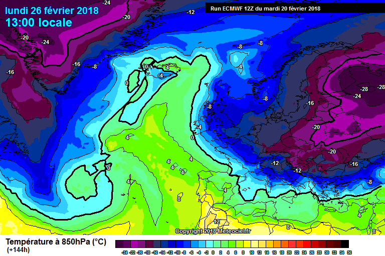
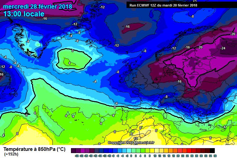
George Sunsnow wrote: » Remember the finger of green or yellow usually seen in these spells up through Britain and Ireland? I’ve found it That’s the Canadian coast immediately to its left btw Edit Grrrrr 1Mb file size limit so no attachment :mad: But as regards where the mild finger is gone
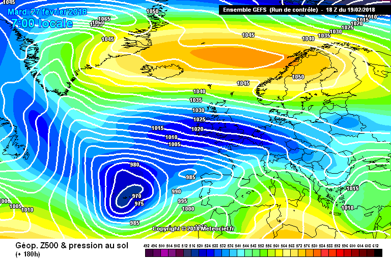
lucernarian wrote: » This one has me a little nervy. It's only slightly synoptically different from the others but we're lacking the lower pressure and unstable flow that 2010 had. I've seen snow trains going at 1020 and 1025 hPa but hitting 1035 hPa would leave us with bitter cold and not much else. Thoughts?
Reckless Abandonment wrote: » Dublin had rain pop up a few weeks back with presure over 1035 Pressure drops off a little later that Monday as well, looks very snowy for the rest of the week.
Villain wrote: » GFS 12z delays it a little but still looks good!
MJohnston wrote: » ARPEGE 12Z is disappointingly disagreeable, only it and the GEM not onboard:http://www.meteociel.fr/cartes_obs/comp_panel.php?mode=1&ech=114&size=0