torres9kop wrote: » Could Cheltenham races mid March be jeopardised by this oncoming snowmageddon?
RobertKK wrote: » On BBC1, the met office said that we are entering a milder period but there are signs that the end of February will be very very cold.
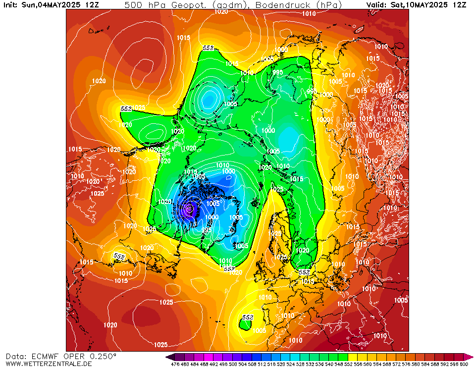
BLIZZARD7 wrote: » Strange run, holds low heights over greenland/Iceland which seems somewhat unlikely to me. The transition from +144hrs to +168hrs to +192 hours doesn't look quite right either, it's showing too much strength in the PV over the greenland area. More chopping and changing to come, I suspect the models haven't a clue how to handle these sustained assaults on the stratosphere. I'm thinking we will see big improvements in the +120 to +144hrs timeframe very soon.
sryanbruen wrote: » GFS 12z control run is a bit of a mess but in general, it has us in a settled pattern.
George Sunsnow wrote: » Not strange just fantasy island It’s got it right up to the point the high sits on us After that it’s like FI on any run any night of the week,even when it shows what you want,totally unreliable
BLIZZARD7 wrote: » I just find it odd the way it flattens a ridge building northwards with lots of WAA heading straight towards the pole with such ease and then defaults to the PV over greenland, it's like someone flicked a switch at +168hrs and the ECM became unaware of strat situation. Not an impossible outcome by any means but I would say improbable at this point given where the warmings are occurring. Goes against the MJO analogues too.
typhoony wrote: » an SSW event usually results in the amplification of the jet, correct if I'm wrong but we more often than not end on the wrong side of the amplification i.e the warm side whereas the North East of the U.S gets frigid weather
BLIZZARD7 wrote: » *there was a slight uptick in solar activity, we don't want to see this pick up anymore and I really hope this hasn't thrown a spanner in the works.
BLIZZARD7 wrote: » Have to disagree @george sunsnow, it's not as likely as likely as any other output as its not likely we will see a strengthening vortex over greenland at all. Never mind the SSW, later into February is when it normally starts to weaken, on top of such a major SSW I just cannot see that happening. This isn't anything like our normal setup. 'The strat. vortex is currently weaker than all other years in the ERA interim record!!! The zonal mean zonal wind at 10 hPa 60N is today (GFS analysis): -20.1 m/s Weakest zonal wind at 10 hPa 60N in ERA interim record for todays date is: -13.0 m/s 1987'http://weatheriscool.com I'm not saying we will definitely have very cold weather however it's not a likely option that our chances get scuppered through low heights over the greenland area* 144-192hrs however unreliable is still modeled in the high resolution part of the run. *there was a slight uptick in solar activity, we don't want to see this pick up anymore and I really hope this hasn't thrown a spanner in the works.
George Sunsnow wrote: » I’m not sure what you’re disagree’ing with