squarecircles wrote: » No mention of the potential cold next week after the 6.1 news. Seem to deliberately stop with detail after Monday.
Donegal Storm wrote: » GFS is showing rain for Monday night with light back edge snow giving a patchy dusting, followed by light north westerlies with wintry showers in the north and west on Tuesday and Wednesday, dry elsewhere with daytime temps of 2-4C. People going a bit over the top here
Rebelbrowser wrote: » but ECM a lot colder and you'd always prefer the ECM on your side. Still no guarantees obviously
Kermit.de.frog wrote: » lol - oh how wrong...:D
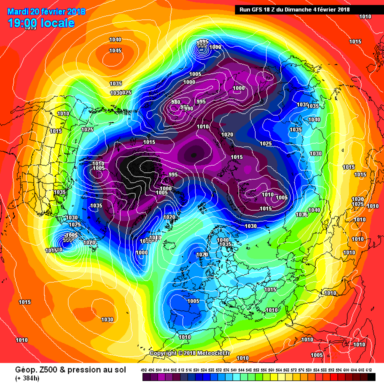
nacho libre wrote: » Oh look where is the Azore High going?L:) If we could only bank this depiction.
Neddyusa wrote: » Not sure it's going anywhere based on that Nacho. Its quite close to its home; and is it not just getting reenforced by the LPs off Newfoundland and S Greenland? Not that a 2 weeks + chart matters a jot anyway :pac:;)
Donegal Storm wrote: » GFS is showing rain for Monday night with light back edge snow giving a patchy dusting, followed by light north westerlies with wintry showers in the north and west on Tuesday and Wednesday, dry elsewhere with daytime temps of 2-4C.
Donegal Storm wrote: » GFS was largely right then a full 5 days out,
Donegal Storm wrote: » GFS was largely right then a full 5 days out, even some of the hi-res models on the day were less accurate. It slightly underplayed snow potential but an impressive performance overall considering other models were showing almost nationwide snow and ice days. As I said at the time, always trust the most boring solution!
Kermit.de.frog wrote: » No, it was not.
Donegal Storm wrote: » In what way? As I said it slightly underplayed snowfall but overall it was a pretty good effort. This was the GFS snow forecast for this morning at the time I posted that, it largely stacks up with reports on here. ECMWF had 6cm+ across large swathes of the country at the same time. It also got temperatures and shower activity today fairly bang on.
Donegal Storm wrote: » That's from the 2nd of Feb(American format), this is the chart for the 1st showing 6cm+ in most of Leinster and Ulster
Oneiric 3 wrote: » Anyway, arguing about which model forecast the pitiful amounts we actually saw more correctly is pointless.