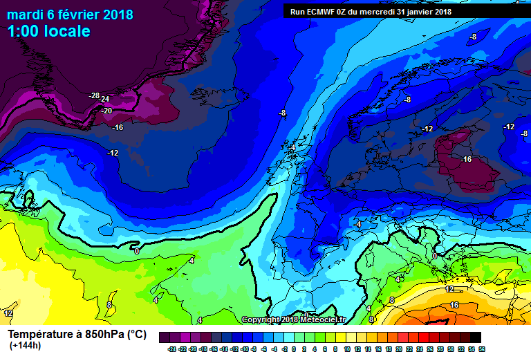
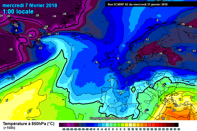
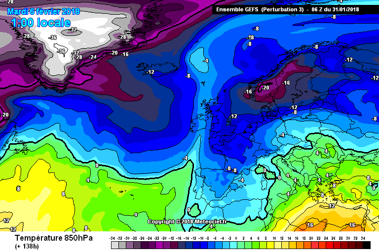
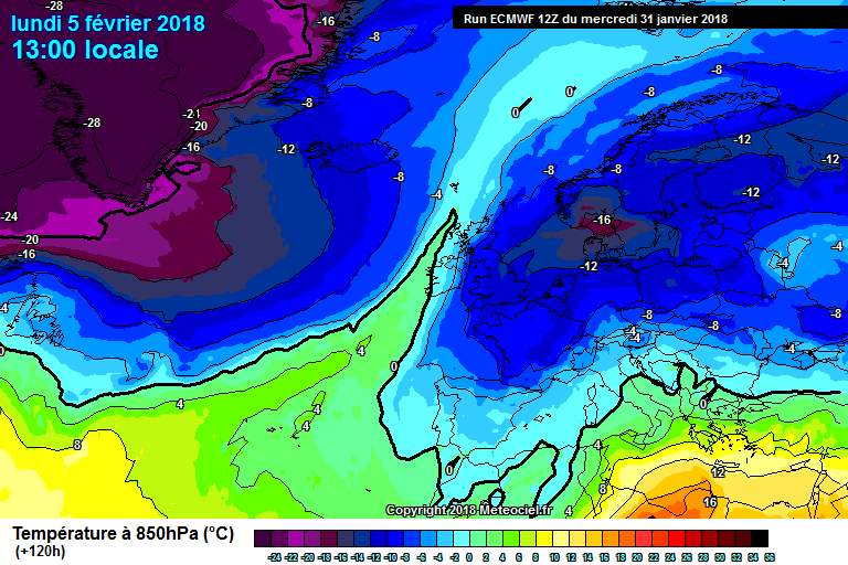
Kermit.de.frog wrote: » A little more amplification of the jet stream and there could be a surprise from the east in the next day or two showing up on the models heading in to the second week of February...?
nacho libre wrote: » Impressive cold air well into the Atlantic from a northwesterly! It would be quite something if that -12 air made it all the way here from a north westerly. Has it ever happened before?
bnt wrote: » It might be worth reminding ourselves that the temperatures shown on these charts are not ground level temperatures, but temperatures at certain pressure heights. 850 HPa corresponds to ≈ 5,000 ft (1500m) ASL, 500 HPa to ≈ 18,000 ft (5000m), and 250 HPa to ≈ 34,000 ft (11000m). The last-mentioned is doubly interesting because that's where airliners fly and the jet streams roam. (Apologies to the folks who know all this already.)
MJohnston wrote: » That's what the references to "uppers" are about in people's posts
bnt wrote: » I know, and you know, but I'm thinking of casual visitors who might not be familiar with such specific jargon.
George Sunsnow wrote: » Aye snow just needs the air below freezing and not above 1c or so at the surface from cloud base to ground So if fast moving air at 5000 ft is -2c and advected surface air from sea level to 1000ft from a freezing UK is around 0c or 1c, your precip will probably be snow It happened in 2010 It often happened in the 80’s
Kermit.de.frog wrote: » You'll be able to see the beast from your house;) Progress is progress.
Kermit.de.frog wrote: » Solid ECM. The "beast from the east" vs the, eh, "beast from the west":pac: You'll be able to see the beast from your house;) Progress is progress.
gabeeg wrote: » Are the islands themselves responsible for the high? Like, should I hate them and their peoples?
pad199207 wrote: » That 18z is NOT without interest
George Sunsnow wrote: » Now there’s an under statement...