nagdefy wrote: » Looking at the charts this evening and it's one of those ocassions where it's best take a 5 day break and have a look then Only we never follow through on those intentions!
giveitholly wrote: » What are they showing
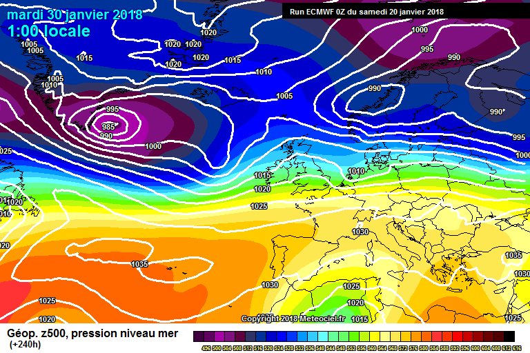
nagdefy wrote: » A lot of Atlantic dominated weather, no real cold and no snow But they can flip in a few days. Hard to see anything but mild weather for the next week though. I sometimes take a break and after 4 or 5 days there might be something to look at.
giveitholly wrote: » Thanks,are they showing a lot of rain
Watching the Met Eireann weather forecast at 21.30 with Joanna Donnelly, it appears that Wednesday next is going to be very stormy? The average wind speed shown on the weekly chart for Wednesday was 55km, which is unusual this far ahead. After all, this week they were showing averages of 35km and 40km, one day ahead of the forecast storm(s). Am I reading this correctly - sincerely hope so?
I seem to think the only certainty we have at present is that the models, have really been struggling since the start of winter, possibly before, with Fantasy Island being closer than you think normally. Just because a model or models show a solution in one run or multiple runs doesn't necessarily ,"Make it so," to quote Captain Picard unfortunately. Hence what the models giveth the models can take away, given that the further predicted events are from the initial conditions the greater the error will possibly be. Try not to get too excited or upset about what you see.
George Sunsnow wrote: » I’m siding again with Joanna Donnelly who tweeted recently that 240 charts are about as useful as kindergarten crayon classes
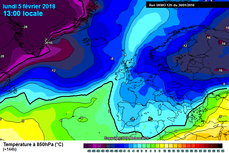
gabeeg wrote: » UKMO has the beginnings of an easterly at 120 GFS disagrees, but is moving towards it
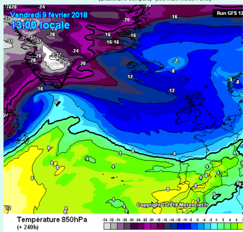
nacho libre wrote: » An unusual enough chart that, squeezed from both directions! You know the north westerly airflow will win out, at least over Ireland.
nacho libre wrote: » Yeah i think this attempt will fail because of the cold Canadian air( if it were to plunge down into the sea off Portugal, we would be laughing), but a bit later on in February things will hopefully fall into place with the effects of the mjo starting to show on the models. Another good indicator is if Kermit the frog and Gaoth Laidir agree that the parameters are perfect for snow! Then we will really be in business.