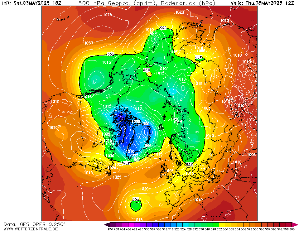
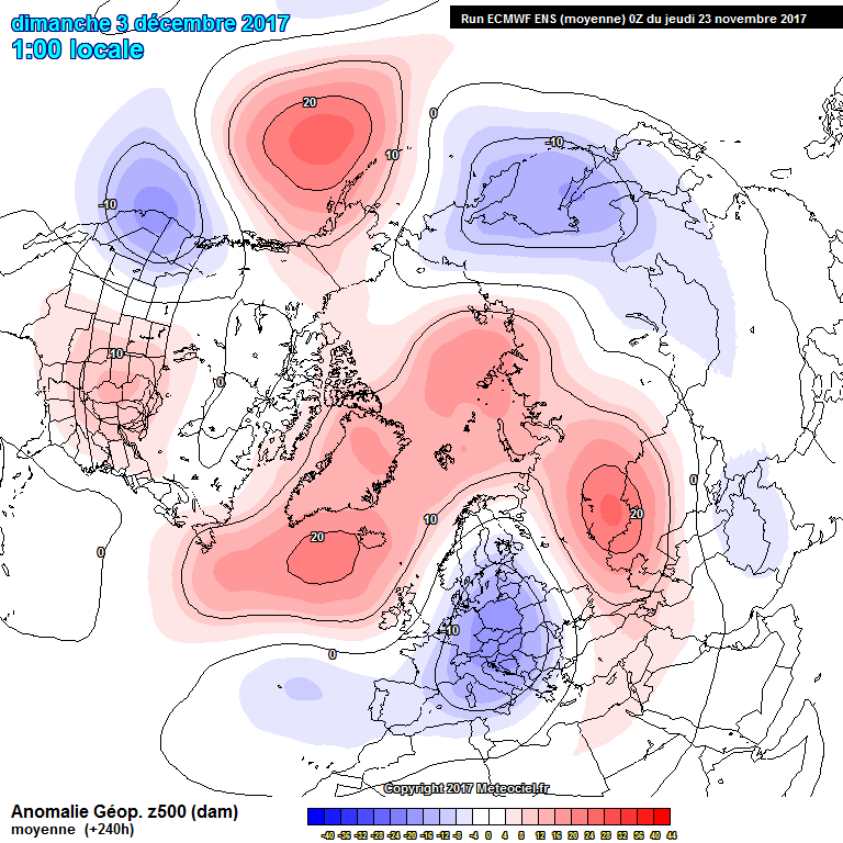
Darwin wrote: » Despite the juicy looking charts, I don't see any really cold upper 850's. The overall pattern looks great though and anything but full on zonality is most welcome this time of year.
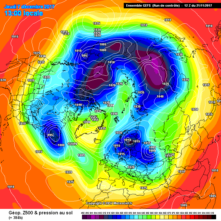
icesnowfrost wrote: » Looks like around the 5th of December going by the latest run it could be cold and produce some snow. In a bit of a north to north easterly. Can't put any pics up as usual I'm having a problem:(
BLIZZARD7 wrote: » icesnowfrost wrote: » Looks like around the 5th of December going by the latest run it could be cold and produce some snow. In a bit of a north to north easterly. Can't put any pics up as usual I'm having a problem:( I wouldn't worry about any output that's 2 weeks away anyway...
Captain Snow wrote: » 528 Dam line always good for Snow.
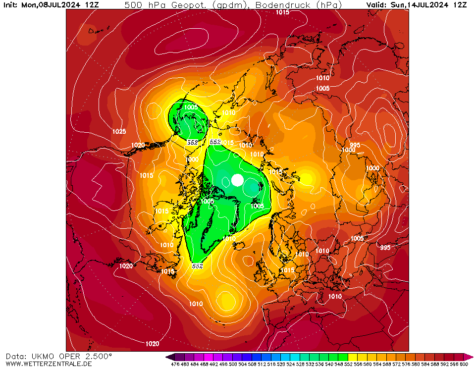
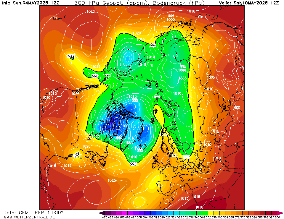
BLIZZARD7 wrote: » Superb UKMO this evening, GFS a bit all over the place. FI is +96hrs at the moment. +144hrs UKMO - GEM in Support
George Sunsnow wrote: » A northwesterly!
BLIZZARD7 wrote: » Initially yes, sourced straight from the Arctic at that- will feel bitter. If we get this far though we are well set up to drag colder uppers in from the North/North East. It's not every day you see a cross polar flow, the difference between these charts and the GFS is the GFS will just topple the high over us pretty fast. The ukmo/gem is how you move from a cold snap to a proper cold spell. All still in FI for the minute, it's getting closer though... Need the ECM to support. If we have a good 12z I expect the GFS to come on board tonight.
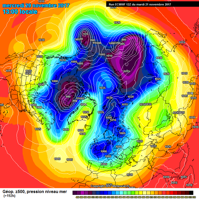
George Sunsnow wrote: » The ECM would have wintry showers in the north and west next Monday with not much if any precipitation in the east There appears to be for want of a way of putting it a ceiling collapse of low pressure down through Scandinavia which will inevitably pull in wintry northeasterly 's If it's snow one wants with high pressure in the Atlantic and all the signs of pressure dropping in Europe fed from the north,one could indeed be looking at 2010 for the template as to what happens next,happy now ? Into ECM FI,you have the northeasterly,by Wednesday but it's is not cold enough
George Sunsnow wrote: » The Euro though has moved in the opposite way this morning We are of course looking far enough ahead to be in territory that in the majority of times doesn't happen and at best only gives a wide ranging signal Wide ranging signal isn't even clear You could in theory have a succession of artic lows sink into Europe and if (emphasis on the if) the Atlantic ridge held,then in a week or two you'd be getting there if snow is what you want That Atlantic high is unlikely to stay where it is though The form horse is for it to build in over Ireland and then sink south east bringing us back to southerlies or southwesterly's I'm not going to lie,this is not promising at all
George Sunsnow wrote: » I know but if you get nothing like what’s now in FI,There’s very little point in taking FI as evidence that southerlies or southwesterlies won’t happen That’s the game this is and the peril of this forum for the last 14 years or so since it started But I like the way you’re thinking