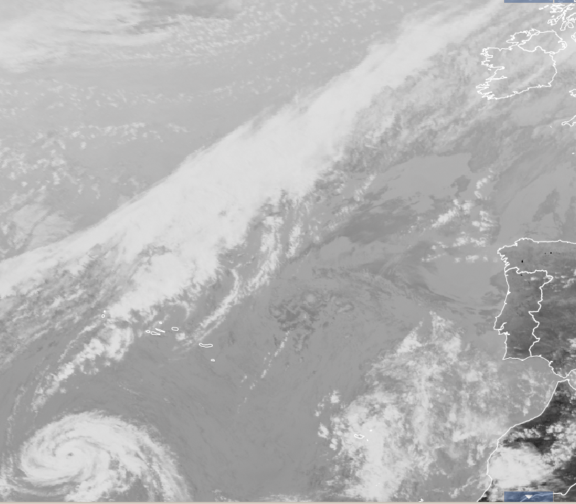
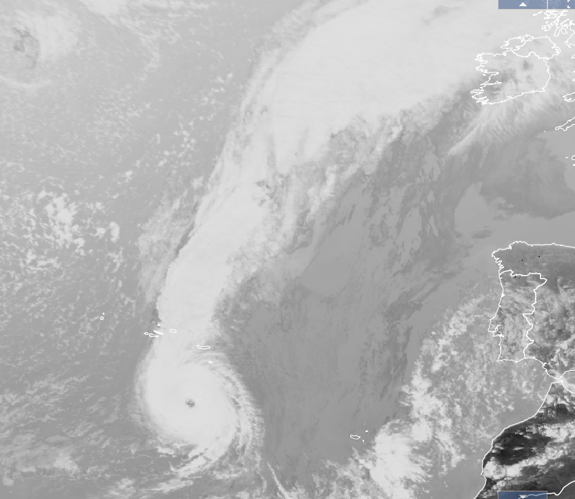
taytobreath wrote: » Bus Eireann have cancelled their school buses Monday because of it.
Gaoth Laidir wrote: » It will be travelling slightly slower than Debbie so I would not imagine we will see any worse winds than then.
nagdefy wrote: » Holy Christ.. that's scary..really scary..
Discodog wrote: » Looking at the track there is potential for a lot of downed trees. The winds could change by 180. So the trees get pushed all the way in one direction & then in the opposite. Perfect for snapping roots.I would advise people not to park near trees
TheMilkyPirate wrote: » Interesting to note that Debbie in '61 had downgraded to a Cat-1 approaching the Azores, Ophelia upgraded to a Cat-3 approaching the same position.
M.T. Cranium wrote: » I think there's some confusion on the colour coding of gust speeds, the map shows output in knots but colour coding scale at the base of the map seems to be km/hr. The GFS compared to ICON shifts the maximum wind impact closer to the west coast although certainly there's a good rush of south to southwest gales into the midlands, and the portion of the west coast spared from storm force gusts is pushed back to a small part of Mayo (the ICON would say all of Mayo). The GEM looks about the same as previous runs, I don't think it has picked up on the more intense t=0 situation. Blending all this together I think it means about what the current warnings suggest with potential for pockets of severe damage in parts of west Munster. Timing the strongest winds for something like 10:00 to 13:00 on the south coast and in Kerry, to about 14:00 to 17:00 in Galway and midlands. Outcome for east coast still somewhat uncertain, could be anywhere from strong level one to marginal level three so level two the best bet.
I always wanted to visit Ireland. Looks like I've missed my chance as it'll be gone by Tuesday morning.
Samaris wrote: » Been a bit focussed on there too - my home town. The bay opens right out into the direction of the storm, so I hope the prom is closed off - you know yourself what eejits are like for going and standing on it during storms. And I'd be a bit dubious of the amusement park as well, given its exposed position (and poor upkeep, at least when I lived there). I'd expect if there's damage it'll be places like The Atlantic, Majestic, Splashworld & whatever Celtworld/Storm is now and the apartments around there, plus Newtown and the part that dips down to the little pier near the Magic Well. Most of the town is well raised up anyway, so flooding is unlikely to be an issue. Not much protection from the wind though.
Gaoth Laidir wrote: » As MT said, not much has changed in the forecast for Monday. People talking about evacuating the southwest need to calm down. A Cat 3 will not hit us. At the risk of repeating myself again, the current 100-knot intensity given by the NHC would equate to around 90 knots if this were a typical winter storm because of the difference between the windspeed classifications (1-minute Vs 10-minute). Knock around 11% off the NHC speeds to get the Beaufort speed. Now take that forward to Monday. 30-40 knots of weakening is very possible in the next 48 hours which would take it from its current 90 knots down to a more "survivable" 50-60 knots sustained winds, with of course higher gusts. Certainly a very notable and interesting event but please let's not lose the run of ourselves here. There is no need for evacuations.
philstar wrote: » much to the disappointment of the drivers & pupils i bet
stevenup7002 wrote: » But it says "noeuds" (knots)?
Jobs OXO wrote: » Are there evacuation plans if required? The East seems likely to escape most of it
clawback07 wrote: » I thought bus Eireann would only cancel school busses in the event of Met Eireann issuing a Status red warning . Having just checked Met Eireann fore cast they have not issued a red warning for Monday yet , or have I missed something ?
Itssoeasy wrote: » Why exactly would there need to be evacuation plans ? I've not read the whole thread but have I missed something ?
sdanseo wrote: » There was confusion over a chart that showed windspeed in knots but with a colour chart in km/h, leading a few of us to believe we were looking at ~280km/h gusts. Not the case.
Kermit.de.frog wrote: » https://www.cbsnews.com/news/hurricane-ophelia-track-path-latest-updates-uk-ireland/ *rings* "Hi, hello, can you help me? I think I have woken up in a universe I don't recognise"
Gaoth Laidir wrote: » 15Z wind analysis, showing 89 knots 38 NM east of centre. The 64+ knot radius has further expanded to 80 NM to the southeast.