sasta le wrote: » Would the crew have a tracker/locator device on them?
Tabnabs wrote: » Yes, but I understand it doesn't work at depths of greater than 10m.
sasta le wrote: » Thought they would have top end gear and be easy to locate
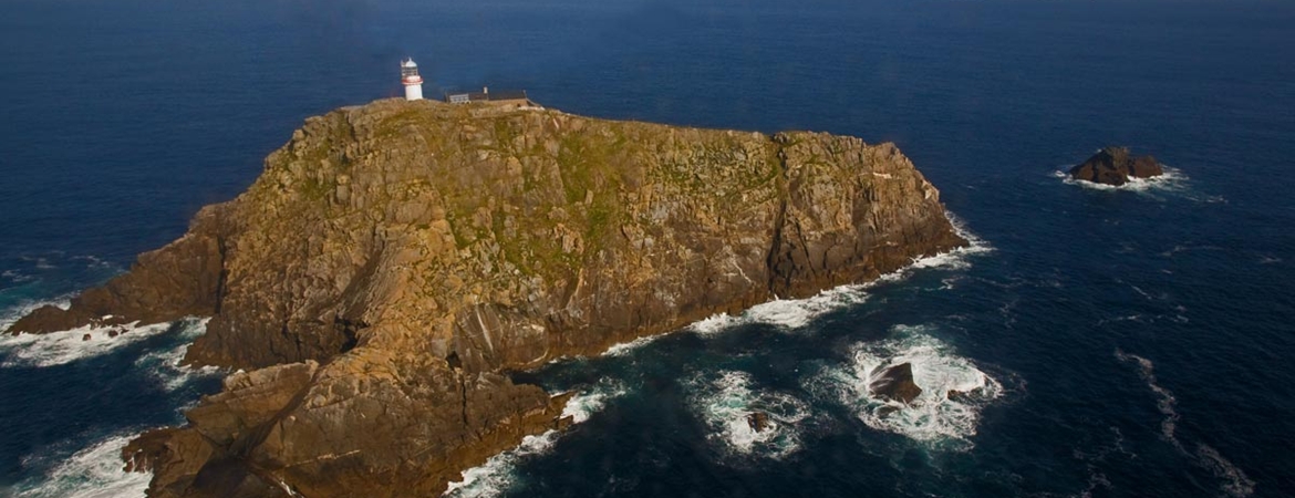
limericklad87 wrote: » According to Rte..... 60 metres from the lighthouse and in 40 metres of water
homerjay2005 wrote: » any chance they clipped the lighthouse and its that, that brought them down?
irishgeo wrote: » Maybe they were trying to aiming on the lighthouse island after a problem.
irishgeo wrote: » That what I was thinking. But you think they would be aware of it. Considering they have some pretty good radar. Some wreckage would be near the lighthouse surely? Maybe they were trying to lsnd on the lighthouse island after a problem.
vicwatson wrote: » The key now in my humble opinion is to get divers down to the wreck ASAP to see if the remaining crew are there.
vicwatson wrote: » Would have had time for a mayday shout then
Shane_ef wrote: » Not necessarily - Aviate, Navigate, Communicate and always in that order Regardless, We will learn in good time what happened, right now lets hope they can get to the wreckage
vicwatson wrote: » I thought Malin Head had tried contacting SAR116 3 times beforehand. Time there to communicate a mayday. How and ever onwards we go. Tragic no matter what.
Cloudio9 wrote: » I'd think that's extremely unlikely they'd be that low and there would be some damage to the lighthouse.
homerjay2005 wrote: » was more thinking about the lighthouse island as opposed to the building itself. that map posted a few post ups makes it a possibility, the speed they were travelling at added to the fact they had just swung around means its something that plausible. for those saying there would be signs, even barely clipping the egde of a rock with the tail would be enough to see it come down. what we do know is that it hit the water at high speed and the debris area is quite large.