Rebelbrowser wrote: » Just worked out how to...
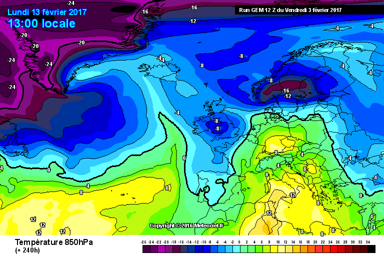
nacho libre wrote: » Just about cold enough for snow showers, then:pac: That's 1987 territory with those kind of uppers. Of course we all know uppers that cold are unlikely to verify.
martinsvi wrote: » Cold uppers mean nothing if they come together with high pressure.. it looks like a nice crisp weekend with blue skies and maybe some form of fog/haze here and there..
nacho libre wrote: » It depends on the proximity of the high to our shores and the orientation/tilt of the high. That GEM chart would bring very heavy snow showers to the south east of England, and moderate to heavy snow showers to the east of Ireland if it verified.
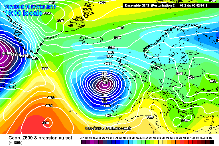
martinsvi wrote: » the very same GEM is showing 1020 to 1025, CFM seems to agree to it. GFS paints isobars much closer together, but all seem to agree on a southerly flow
nacho libre wrote: » you get a trigger low over the med to advect the cold air our way from the continent
martinsvi wrote: » wouldn't air coming from the continent be kind of dry? And since we can agree that it would be cold air at this time of year, what do you get when a cold, dry air passes over cold-ish sea? Fog - yes, low stratus - possibly.. but snow showers? :rolleyes:
Gonzo wrote: » if that chart verifys on the day we would be looking at very beefy snow showers, merging snow streams while areas under the IOM shadow will have unbroken sunshine with dark skies all day long to the very south and very north.
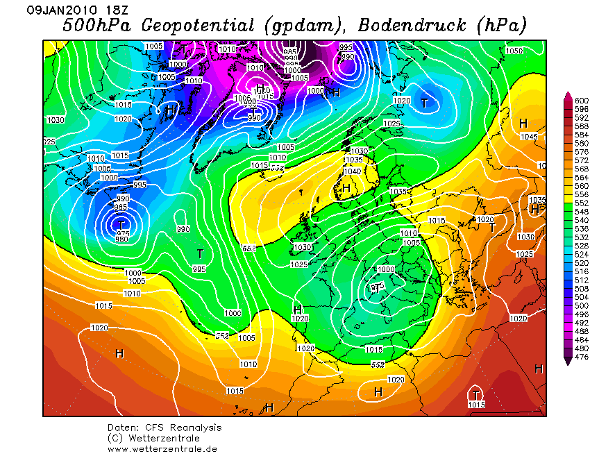
BLIZZARD7 wrote: » Just to put this argument to bed- January 2010 delivered heavy snow showers coming off the Irish sea to much of the East coast with air pressure as high as 1030 hpa at times.
martinsvi wrote: » the chart I posted shows rather breezy flow coming from the continent, which typically is dry as a bone and stable as a rock, for this time of year (nothing to trigger convection as far as I can see). Can any of you snow advocates please show me a chart for the given time period, that indicates the air mass might indeed pick up considerate amount of moisture and become unstable to produce a heavy snow fall? I would be more than happy to put this argument to bed, go prepare my camera and winter hiking gear
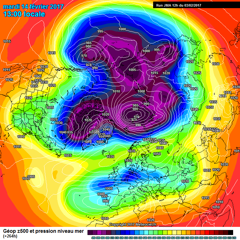
snowstorm445 wrote: » Only 4 days away lol. As if. Models seem to be suggesting a cold spell next weekend anyway, with a Scandinavian high bringing easterlies. Is it for real this time or another receding mirage? Only time will tell!
nagdefy wrote: » I suppose having deep cold as far west as England is better than Poland! At least we've a better chance of tapping into it..