JCX BXC wrote: » How cold can we expect? If we're not getting snow it can at least compensate with a few days of a nice severe frost!
nagdefy wrote: » It's one of those FI stages in mid winter where there doesn't appear to be any short to medium term snow/cold. I'll try and self impose a 4 day ban on model watching. Often helps one to refresh and synoptics may have changed after the few days. Having said that i could end up looking at this evenings ecm:D
Rebelbrowser wrote: » Actually both the 12z ecm and 18z gfs differ a fair bit from their immediate predecessors and both have interest toward the end with the gfs showing a v cold toppler and ecm showing lots of cold in east Europe moving westward. Perhaps this is the effect of the upcoming ssw showing changes in the otherwise presumed pattern? Long shots I know....
Oscar Bravo wrote: » Yep, with the Atlantic back in charge from next Tuesday
snaps wrote: » The ecm seems always to have some sort of high pressure over Scandinavia towards end of its run.
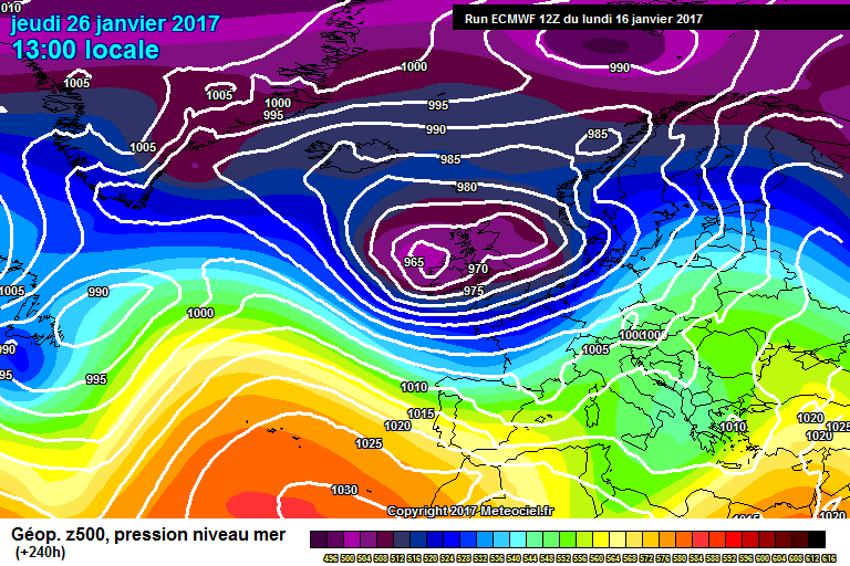
Meteorite58 wrote: » Yea looking out into the far reaches of the model runs it would suggest more zonal and to me it looks like the Jet gets stronger and more organised and fires up the Atlantic with possible stormy weather for us in late Jan / early Feb.
pad199207 wrote: » At this stage I'll have it !
pedigree 6 wrote: » This low pressure system is in an unusual position to the south of Ireland. There could potentially be flooding on the high tide in Waterford and New Ross from this. (If we have strong winds and just going on the wind direction). Something to watch anyway.
Iancar29 wrote: » Yeah ECM has it too, classic East coast flood risk at high tide.





![Photo of [Deleted User]](https://w2.vanillicon.com/v2/23cbe5e5e50cebb31e4a86160a77c62d.svg)


