Advertisement
If you have a new account but are having problems posting or verifying your account, please email us on hello@boards.ie for help. Thanks :)
Hello all! Please ensure that you are posting a new thread or question in the appropriate forum. The Feedback forum is overwhelmed with questions that are having to be moved elsewhere. If you need help to verify your account contact hello@boards.ie

County map of Ireland PowerPoint

  • 17-01-2011 10:48am
    #1
    Registered Users Posts: 10,399 ✭✭✭✭


    Hi,

    Anyone know where you can get a free county `map of of Ireland that can be shaded in PowerPoint?

    For a college project woudl be much appreciated :)


Comments

  • Closed Accounts Posts: 85 ✭✭YoureATowel


    naughtb4 wrote: »
    Hi,

    Anyone know where you can get a free county `map of of Ireland that can be shaded in PowerPoint?

    For a college project woudl be much appreciated :)


    naughtb4,

    I only have access to PowerPoint 2000, therefore, as far as I know, this would be your best course of action.

    Unfortunately, I was unable to source an editable, 32 county map of Ireland. However, with a bit of work I was able to achieve the same thing.

    First I downloaded the Electoral Division Boundaries from the CSO website. From this I was able to extract the 28 County Councils and the 5 city authorities. I was then able to merge these into the 26 traditional counties in the Republic.

    Adding the six counties of Northern Ireland was more problematic as these are no longer used as official local government areas in the UK. Instead I downloaded all the UK local authority Administrative areas from the diva-gis website and then extracted out the relevant NI units. Using these and a raster map, I was then able to reform the six traditional counties of Northern Ireland.

    I then merged the two existing county datasets and fixed issues with overlapping borders to finally arrive at a complete 32 county map of Ireland.

    As the above process was carried out in ArcMap the file was in a shapefile format which is unusable in PowerPoint. I therefore exported it to JPEG format which can be imported into PowerPoint, although it can't be edited/shaded.

    In order to shade the map you should download and install GIMP, GNU Image Manipulation Program, this is a free graphics editor, similar to Photoshop.

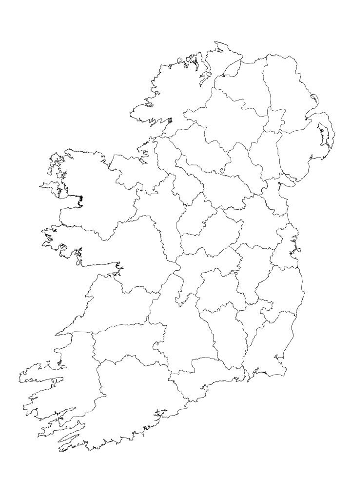
    Right click on the basic map image below, select Save Picture As and save it as Ireland_Counties.jpg.

    Ireland_Counties.jpg

    Start GIMP. From the Main Menu select File-Open, navigate to Ireland_Counties.jpg and click Open. The blank map of Ireland is now available for editing, in this case you want to shade it.

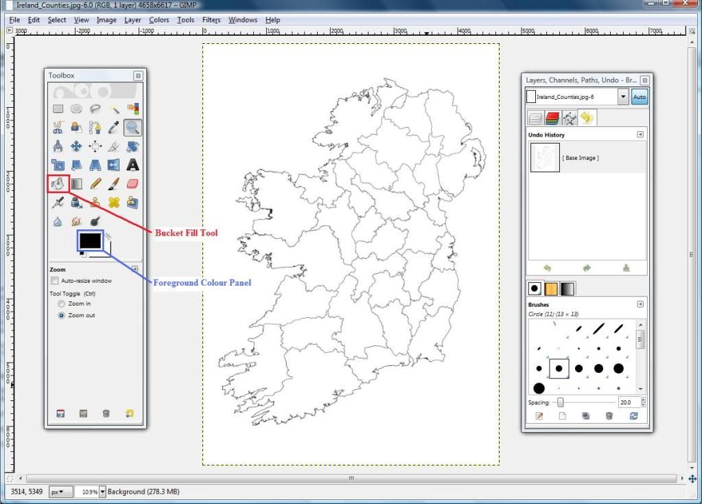
    Select the Bucket Fill Tool icon on the Toolbox menu. This will allow you to shade any county to any colour you require.

    BucketFill2.jpg

    To select an appropriate colour, click on the Foreground Colour panel. A menu opens that will allow you to select your fill colours. The simplest way is to use HTML notation. Visit this website http://html-color-codes.info, select the colour from the HTML Color Code Chart and copy the highlighted HTML color code.

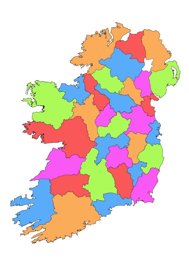
    Back in GIMP paste the code into the HTML notation box and click OK. The Bucket Fill Tool is now active with your specified colour. Now click on a county on the map, the once blank county is now filled with your selected colour. Continue the process until all counties have a colour, with no two adjacent counties sharing the same one.

    Ireland_Counties_Shaded.jpg


    You can also add text and crop the image if required. With a completed shaded map select File-Save A Copy and save the image as Ireland_Counties_Shaded.jpg.

    Now, with the relevant PowerPoint slide open, select Insert-Picture-From File, navigate to Ireland_Counties_Shaded.jpg and click on Insert. Resize the image as appropriate.

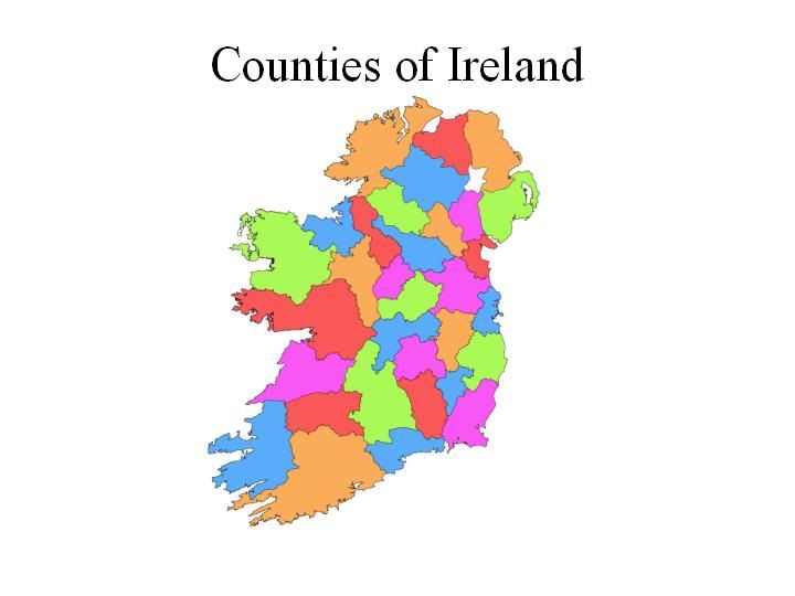
    You should now have a shaded map of the 32 Irish counties added to your presentation.

    CountiesofIreland.jpg


  • Registered Users Posts: 2 autumnleaves


    I realize that this is rather presumptuous of me, but I am not very adept with all the tools required to merge and purge the raw shapefiles you mention. My Google maps project requires that I supply boundary data for the counties of Ireland and NI. Would you be so kind as to post or privately transfer the county boundary shapefiles you produced?


  • Registered Users Posts: 2 autumnleaves


    Bren, if you're watching, perhaps you can send me your private email, as I am not able to send messages over this board (I have fewer than 25 posts) and do not see a way to upload a file. I think I have what you need, but maybe you can help me with a problem.


Advertisement