Advertisement
If you have a new account but are having problems posting or verifying your account, please email us on hello@boards.ie for help. Thanks :)
Hello all! Please ensure that you are posting a new thread or question in the appropriate forum. The Feedback forum is overwhelmed with questions that are having to be moved elsewhere. If you need help to verify your account contact hello@boards.ie
Hi there,
There is an issue with role permissions that is being worked on at the moment.
If you are having trouble with access or permissions on regional forums please post here to get access: https://www.boards.ie/discussion/2058365403/you-do-not-have-permission-for-that#latest

Djouce Mountain Walk (not dial up friendly)

  • 06-06-2008 2:11pm
    #1
    Registered Users, Registered Users 2 Posts: 15,543 ✭✭✭✭


    I went for a walk up Djouce Mountain this morning.
    The weather was amazing and with nice clear skies the views were amazing..

    Here's a few pictures below, I took a ton, will eventually put them all on annamoe.net, I couldnt decide which ones were best so heres my top 15!

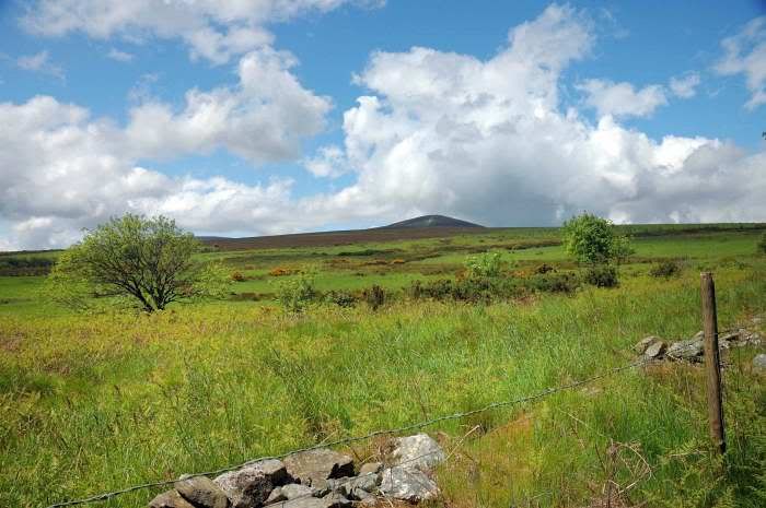
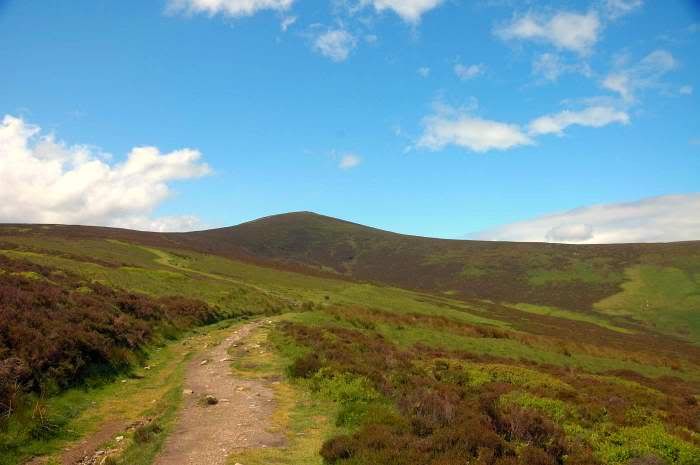
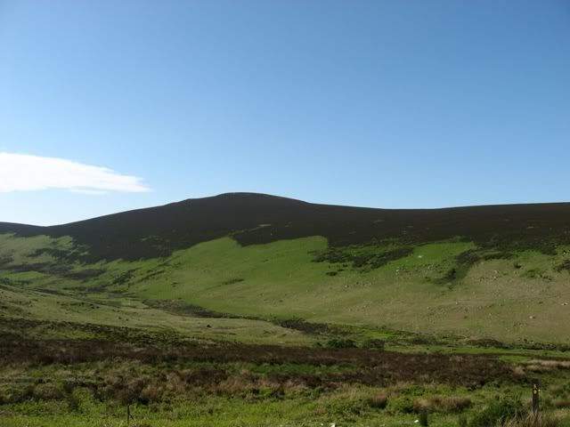
    Starting out..the summit looks a long way ahead..

    long_walk_ahead.jpg

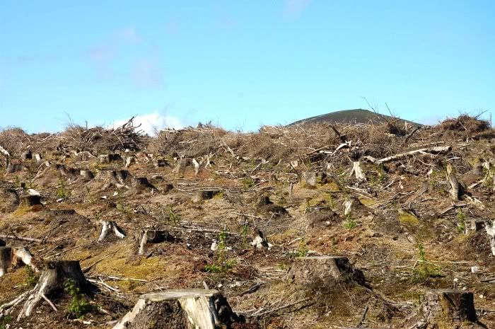
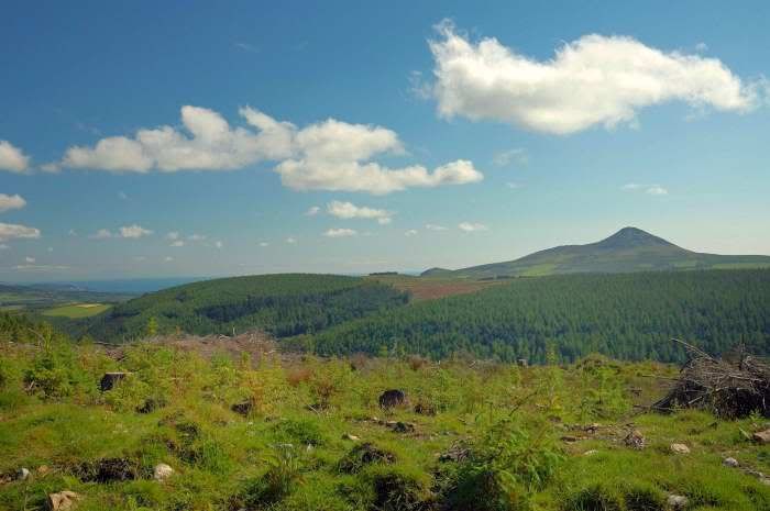
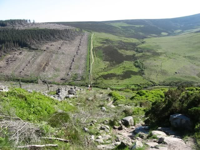
    Passed alongside a felled forest but its clearly being replanted so this mountainside will thankfully be green again in years to come.

    replanting.jpg

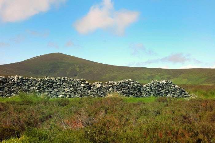
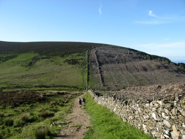
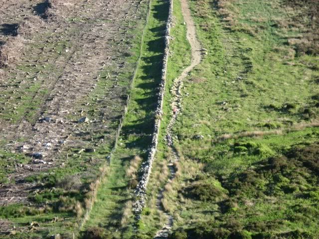
    I pity the poor sods that had to build this wall back in the past, must have been quite some effort for little reward.

    mad_wall.jpg

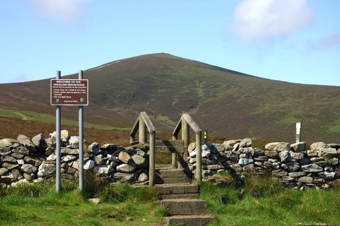
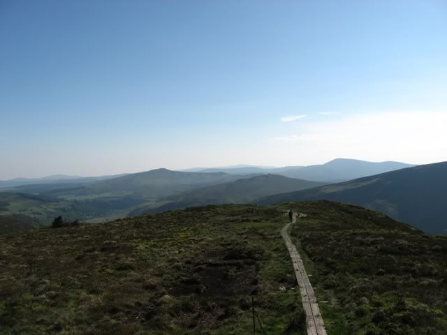
    The walk proper begins here!

    serious_stuff_ahead.jpg

    I'm gasping for breath at this point and havent reached the REALLY steep stuff yet!

    steep_bit_ahead.jpg

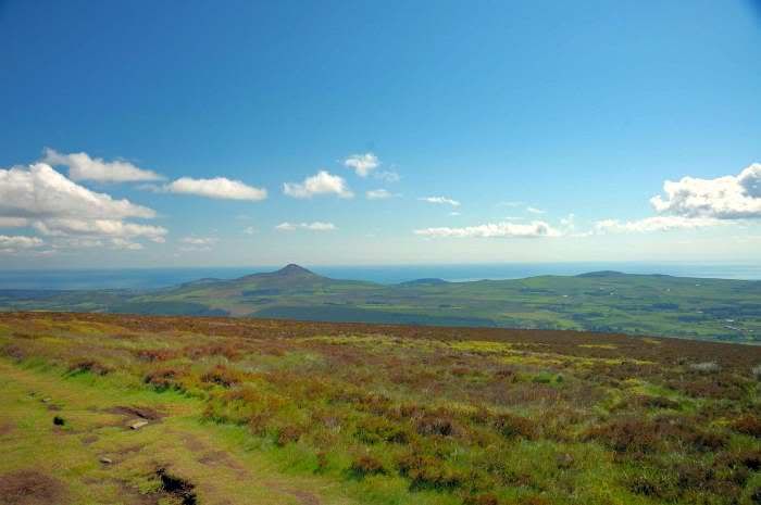
    Thats the Sugarloaf over there looking rather small compared to the man size mountain I'm ascending today ;)

    sugarloaf.jpg

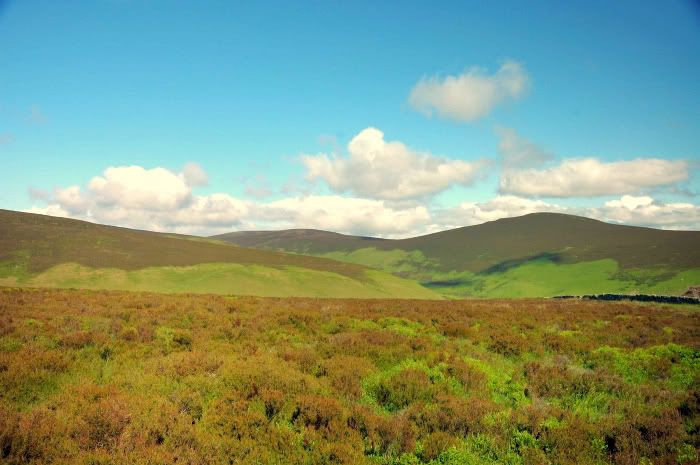
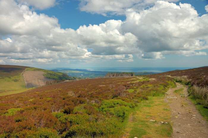
    The solitude and isolation is wonderful, only the chirping birds for company.

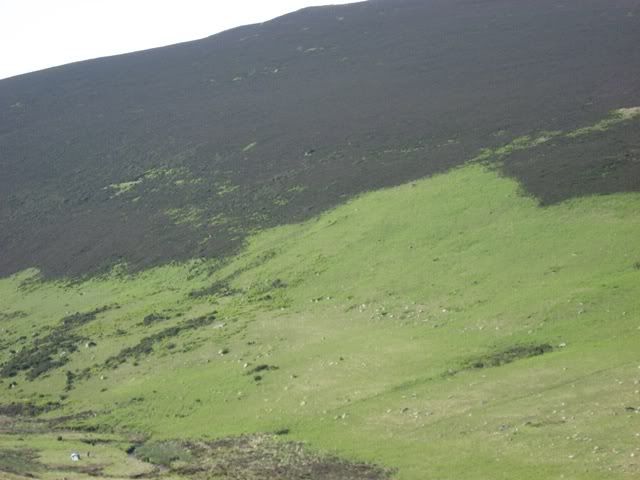
    heather_and_hills.jpg

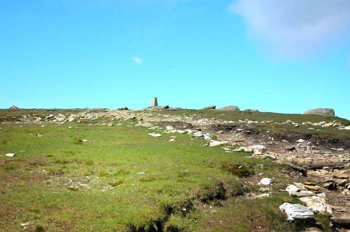
    Almost at the top, the path is heavily eroded by walkers here and there as signs imploring walkers to stay on the stony bits (which I did). I'm about to go into cardiac arrest at this point.

    nearlythere.jpg

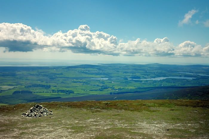
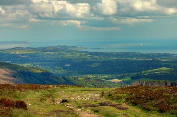
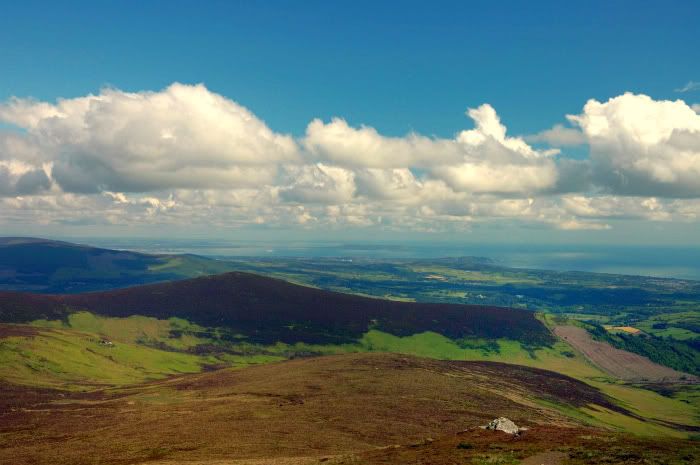
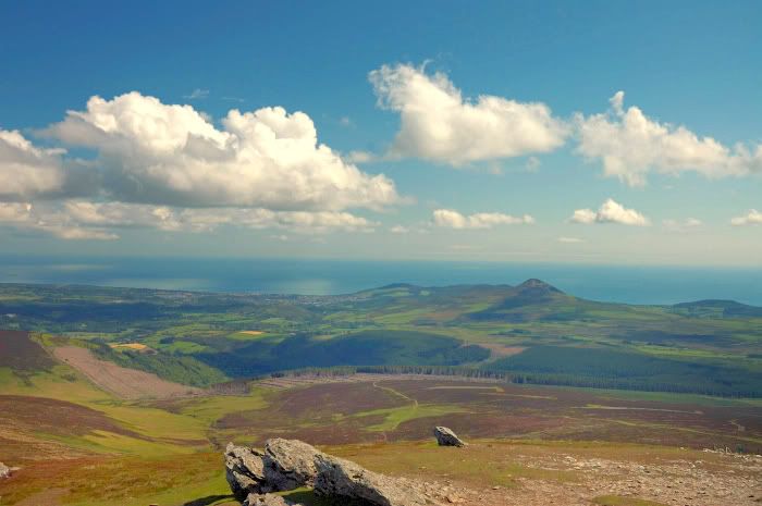
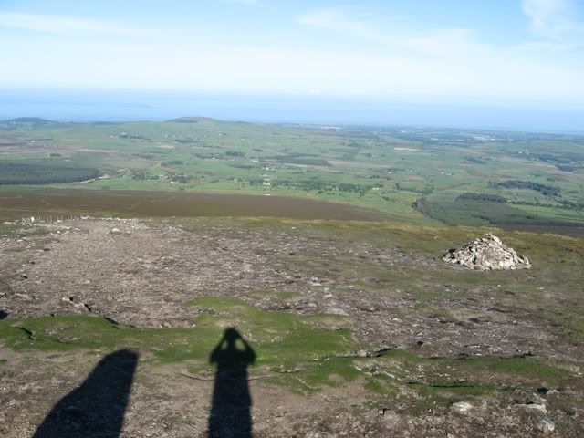
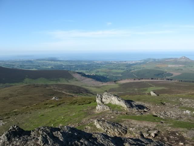
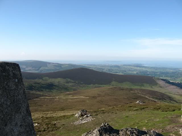
    At the summit I did a 360 taking pictures (after a nice warm cup of soup from the thermos) and took a few more on the way down..

    summit_to_vartry.jpg

    eye_wateringviews.jpg

    killiney_boat.jpg

    out_to_sea.jpg

    summit_view.jpg

    towards_dalkey.jpg

    Have a weather station?, why not join the Ireland Weather Network - http://irelandweather.eu/


Comments

  • Registered Users, Registered Users 2 Posts: 17,380 ✭✭✭✭nacho libre


    Super stuff. Thanks for sharing these photos.


  • Moderators, Home & Garden Moderators, Science, Health & Environment Moderators Posts: 18,447 Mod ✭✭✭✭DOCARCH


    Great pics - great views.


  • Closed Accounts Posts: 495 ✭✭HydeRoad


    Hi, what kind of camera did you use for these excellent pics?


  • Closed Accounts Posts: 5,150 ✭✭✭Deep Easterly


    Stunning. Particularly like this photo:

    summit_to_vartry.jpg

    Earth, sky, air and water all in one great shot. Very postcardesqe.:)


  • Registered Users, Registered Users 2 Posts: 5,033 ✭✭✭Snowbie


    This is my pic of the bunch. If you had stayed around a few more hours you would have seen a nice fire works display along the coast there as was to happen later.

    summit_to_vartry.jpg


  • Advertisement
  • Registered Users, Registered Users 2 Posts: 8,720 ✭✭✭Hal1


    Great scenic shots for us city dwellers to admire, thanks. :)


  • Registered Users, Registered Users 2 Posts: 15,543 ✭✭✭✭Supercell


    Thanks guys, much more on my website.

    HydeRoad - its a Nikon D70.

    Have a weather station?, why not join the Ireland Weather Network - http://irelandweather.eu/


  • Registered Users, Registered Users 2 Posts: 4,364 ✭✭✭arctictree


    Super shots Supercell!

    My house is beside that lake on the far right in that photo!

    BTW - Where exactly is that sign 'Welcome to the Wicklow Mountains'? I've tackled djouce before but not on that route I think!

    A


  • Registered Users, Registered Users 2 Posts: 15,543 ✭✭✭✭Supercell


    Its on the route that you follow on the trail from the "Djouce Woods" carpark (blocked off by boulders), ie the next carpark after the Ballinstoe Woods mountain bike area (opposite Ballinstoe Golf Club).

    Have a weather station?, why not join the Ireland Weather Network - http://irelandweather.eu/


  • Closed Accounts Posts: 88,972 ✭✭✭✭mike65


    Does anyone else find managed forrestry an insult to the landscape?

    Mike.


  • Advertisement
  • Registered Users, Registered Users 2 Posts: 725 ✭✭✭muggyog


    Whats your view of managed trails then?


  • Closed Accounts Posts: 88,972 ✭✭✭✭mike65


    Never really thought about them tbh. Those coniferous forests are ugly and should kept off high ground in my view as they obscure/ruin the view.

    Mike.


  • Registered Users, Registered Users 2 Posts: 15,543 ✭✭✭✭Supercell


    muggyog wrote: »
    Whats your view of managed trails then?

    That sounds like a loaded question.

    Honestly, if it means preventing damage like there is around Djouce then I'm all for managed trails.
    Expensive to maintain and hard to get people to follow where you want though.
    In an ideal world I suppose the most popular routes should have some kind of managed trails (like around Glendalough for example) and the more quiet ones where there is less likelihood of walker/bikers etc ruining the natural environment then just the odd pointer along the way to keep people off of the most delicate landscapes should suffice.

    I'd love to prevent people from taking the badly eroded route up Djouce to let the land recover (and provide a well marked alternative), but that's hardly feasible - probably the only long term solution there is to make that route comfortable enough for walkers not to want to stray off a few feet either side just to get better grip - like studded sleepers or something with signs along the way saying "thank you for walking on the path and preserving the Wicklow Way" or something to encourage adherence.

    Probably a lot of different opinions on the matter, one thing I'm sure most hill walkers will agree on is that the erosion is pretty ugly to look at.

    Have a weather station?, why not join the Ireland Weather Network - http://irelandweather.eu/


  • Closed Accounts Posts: 13,992 ✭✭✭✭gurramok


    I also went on that stage 4 six days earlier(sat May 31st) Supercell!
    The day was clear blue skies with the sun belting down as i climbed that mountain, you'd have to be really fit to do it.
    I took loads of pics, loaded them onto http://s181.photobucket.com/albums/x283/gurra2011/Nature/Wicklow%20Way%20stage%204/

    Best ones for quick view:
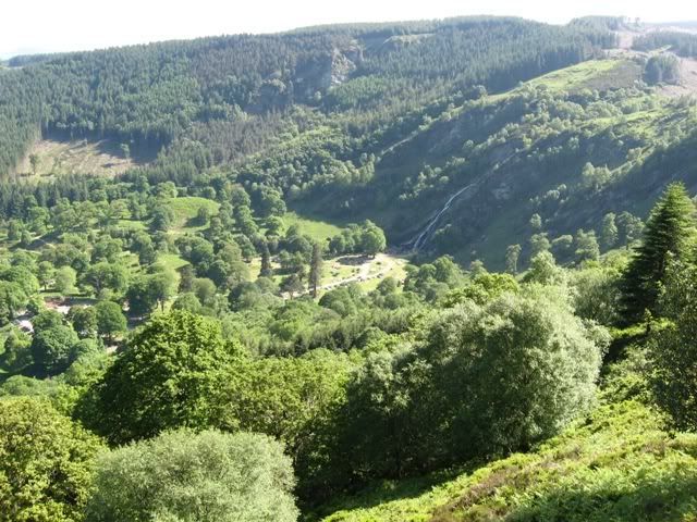
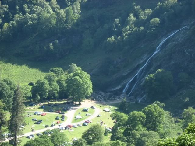
    Powerscourt
    Powers3unzoomed.jpg

    Powers3Zoompeople.jpg

    The valley
    Valleyclimb.jpg

    Valleyclimb3.jpg

    Spot the tent at bottom
    Spotthetent1.jpg

    Spotthetent2.jpg

    Spot the cyclists :)
    Zoomonvalleycyclists2.jpg


  • Closed Accounts Posts: 13,992 ✭✭✭✭gurramok


    On top of Djouce itself
    TopofDjoucemountain.jpg

    TopofDjoucemountain3.jpg

    TopofDjoucemountain4.jpg

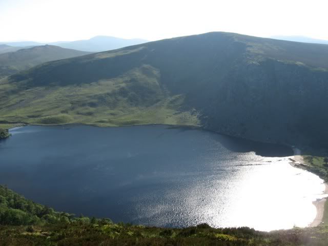
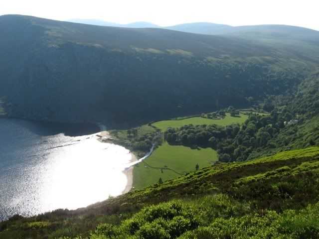
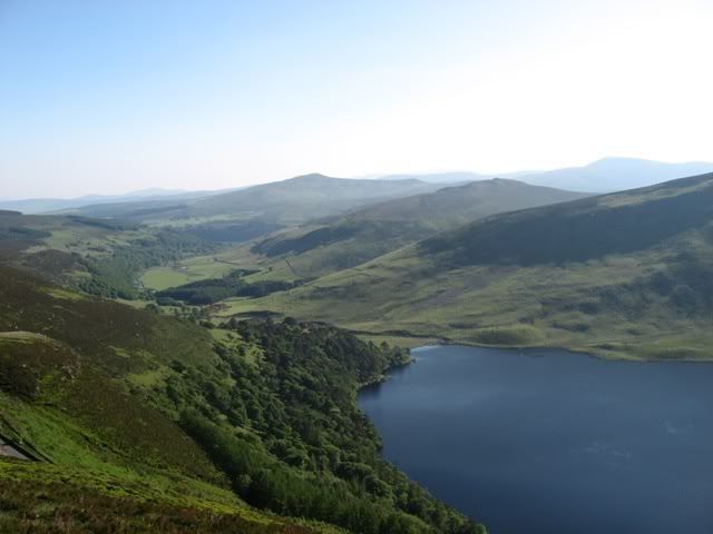
    Lough Tay
    LoughTay3.jpg

    LoughTay4.jpg

    LoughTay5.jpg


  • Closed Accounts Posts: 13,992 ✭✭✭✭gurramok


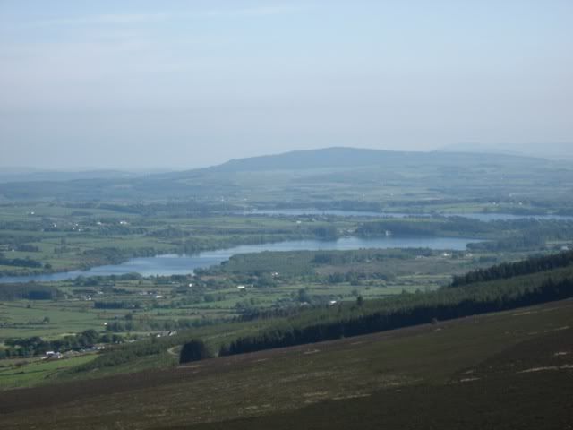
    Those bunch of lakes
    IMG_0095.jpg

    That track
    IMG_0111.jpg

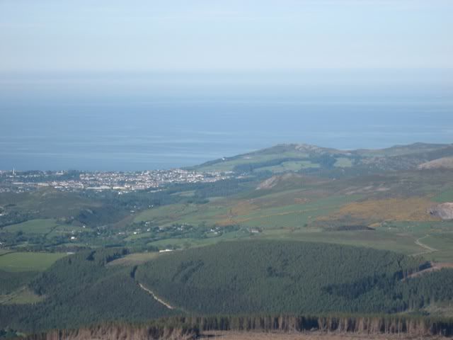
    That town(Which town is it?)
    IMG_0144.jpg

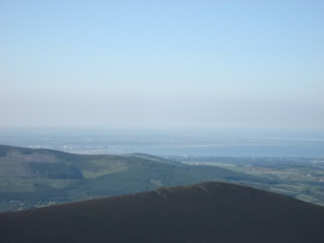
    And finally, spot the ESB chimney from the top of Djouce mountain :).. how many miles away is that?
    SpottheESBchinmneys1.jpg

    Taken with a simple Canon A540 cam whils out of breadth! You may need to zoom in on some to get the full affect as i had to resize them down for the web.


  • Registered Users, Registered Users 2 Posts: 5,033 ✭✭✭Snowbie


    Stunning pics

    I guess that town to be Bray or maybe Greystones, i can't tell? Trogdor or arctictree be better to answer that one.

    Always wanted to know the name on that hill/mtn thats overlooking Powerscourt? Anyone?


  • Registered Users, Registered Users 2 Posts: 15,543 ✭✭✭✭Supercell


    Nice pics there gurramok.
    I'm pretty sure thats Greystones.

    Have a weather station?, why not join the Ireland Weather Network - http://irelandweather.eu/


  • Closed Accounts Posts: 2,683 ✭✭✭heavyballs


    it's Greystones alright, the golf club goes around the hill on the right of the pic.


  • Registered Users, Registered Users 2 Posts: 771 ✭✭✭Sir Random


    Beautiful pics, and congratulations on completing that walk! I've only climbed djouce from the djouce woods car park, and that's enough to get my heart going at a worrying pace.

    Re your pics,

    Those lakes are actually the Vartry reservoir in Roundwood, with the upper lake closest to you.

    That track is part of the Wicklow Way, which passes around Djouce, above Powerscourt waterfall.

    The town is Bray, with Bray head to it's right. You can see the rocky valley just this side of Bray (near Kilmacanogue) and those scattered houses are at killough. The yellow gorse patches to the right are the slopes of Sugarloaf mountain, and the forest in the foreground is djouce woods, with the forest path clearly visible.

    I'm hoping to get up near there tomorrow (06/02/09), for some dramatic snow scapes :)


  • Advertisement
  • Registered Users, Registered Users 2 Posts: 679 ✭✭✭Steo46


    The purple mountain is cool.


  • Registered Users, Registered Users 2 Posts: 1,322 ✭✭✭ian_m


    These are all really cool thanks guys.

    I'm going to take a trip up there soon...


  • Registered Users, Registered Users 2 Posts: 10,246 ✭✭✭✭Riamfada


    its great to see some sunny pictures , makes me feel all good inside !


Advertisement